- Moneydie
-
Coordinates: 56°26′59″N 3°30′59″W / 56.44977°N 3.516435°W
Moneydie 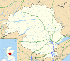
 Moneydie
Moneydie shown within Perth and KinrossCouncil area Perth and Kinross Lieutenancy area Perth and Kinross Country Scotland Sovereign state United Kingdom Post town PERTH Postcode district PH1 Dialling code 01738 Police Tayside Fire Tayside Ambulance Scottish EU Parliament Scotland Scottish Parliament North Tayside North East Scotland List of places: UK • Scotland • Moneydie is a small hamlet and former parish in Perth and Kinross. It is about 6 miles northwest of Perth. [1][2]
Parish History
In January 1979 the Parish of Moneydie merged with the parish of Auchtergaven in nearby Bankfoot creating Auchtergaven and Moneydie parish.[3]
References
- ^ http://www.visitdunkeld.com/Moneydie/index.htm
- ^ http://maps.google.co.uk/maps?rlz=1C1CHMC_en-GBGB316GB317&q=moneydie&um=1&ie=UTF-8&sa=N&hl=en&tab=wl
- ^ Bankfoot Church, Significant dates in our story http://www.bankfootchurch.org.uk/ourstory.html
Categories:- Villages in Perth and Kinross
- Perth and Kinross geography stubs

Wikimedia Foundation. 2010.