- Millsite State Park
-
Millsite State Park Utah State Park Country  United States
State  Utah
UtahCounty Emery Location Ferron - elevation 6,100 ft (1,859 m) [1] - coordinates 39°5′30″N 111°11′32″W / 39.09167°N 111.19222°W Area 638 acres (258 ha) [2] Visitation 34,647 (2010) [3] IUCN category V - Protected Landscape/Seascape 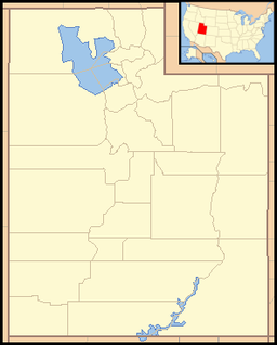
 Location of Millsite State Park in Utah
Millsite State Park is a state park of Utah, USA, located at the mouth of Ferron Canyon near the town of Ferron.
Millsite State Park offers access to off highway vehicle and mountain bike riding areas. The reservoir is open to swimming, boating, waterskiing, and fishing. Adjacent to the park is a public 18-hole golf course.
Millsite Reservoir is part of the Ferron Watershed Project, a multipurpose water containment completed in 1970 with the combined efforts of several agencies. Before the dam was built, there was an old dam at the site to service a flourmill, hence the reservoir name.[1]
References
 This article incorporates public domain material from the website of the Division of Utah State Parks and Recreation.
- ^ a b "Millsite State Park: About the Park". Utah State Parks. http://stateparks.utah.gov/parks/millsite/about. Retrieved 2011-02-09.
- ^ Utah.com. "Millsite State Park". Utah.com LC. http://www.utah.com/stateparks/millsite.htm. Retrieved 2011-02-09.
- ^ "Utah State Park Visitation". Utah State Parks Planning. http://stateparks.utah.gov/about/visitation. Retrieved 2011-02-09.
External links
Protected Areas of Utah Federal National ParksNational MonumentsNational Historic SitesDesert Biosphere Reserve • Flaming Gorge National Recreation Area • Glen Canyon National Recreation Area • Mormon Pioneer National Historic TrailNational Wildlife Refuges:Bear River Migratory Bird Refuge • Fish Springs • OurayAshdown Gorge • Beartrap Canyon • Beaver Dam Mountains • Black Ridge Canyons • Blackridge • Box-Death Hollow • Canaan Mountain • Cedar Mountain • Cottonwood Canyon • Cottonwood Forest • Cougar Canyon • Dark Canyon • Deep Creek • Deep Creek North • Deseret Peak • Doc's Pass • Goose Creek • High Uintas • LaVerkin Creek • Lone Peak • Mount Naomi • Mount Nebo • Mount Olympus • Mount Timpanogos • Paria Canyon-Vermilion Cliffs • Pine Valley Mountain • Red Mountains • Slaughter Creek • Taylor Creek • Twin Peaks • Wellsville Mountain • Zion
State Antelope Island • Bear Lake • Camp Floyd • Deer Creek • East Canyon • Flight Park • Great Salt Lake • Historic Rail Trail • Hyrum • Jordan River OHV Park • Jordanelle • Red Fleet • Rockport • Starvation • Steinaker • Utah Field House • Utah Lake • Wasatch Mountain • Willard Bay
Fremont Indian • Goblin Valley • Green River • Huntington • Millsite • Palisade • Scofield • Territorial Statehouse • Yuba
Anasazi • Coral Pink Sand Dunes • Dead Horse Point • Edge of the Cedars • Escalante Petrified Forest • Frontier Homestead • Goosenecks • Gunlock • Kodachrome Basin • Otter Creek • Piute • Quail Creek • Sand Hollow • Snow Canyon
Municipal Municipal parksFort Buenaventura • Gallivan Center • Liberty Park • Jordan River Parkway • Minersville Reservoir • Murray City Park • Sugar House Park • Veterans Memorial Park
Utah State Parks and Recreation Categories:- Protected areas of Emery County, Utah
- Utah state parks
Wikimedia Foundation. 2010.