- Ouray National Wildlife Refuge
-
Ouray National Wildlife Refuge IUCN Category IV (Habitat/Species Management Area)


Location Uintah County, Utah, USA Nearest city Ouray, Utah Coordinates 40°09′00″N 109°37′00″W / 40.15°N 109.6166667°WCoordinates: 40°09′00″N 109°37′00″W / 40.15°N 109.6166667°W Area 11,987 acres (48.51 km2) Established 1960 Governing body U.S. Fish and Wildlife Service Ouray National Wildlife Refuge (also called Ouray National Waterfowl Refuge) is a wildlife refuge in central Uintah County, Utah in the northeastern part of the state. It is part of the National Wildlife Refuge system, located two miles northeast of the village of Ouray, 10 miles southeast of the town of Randlett, and 30 miles (50 km) southwest of Vernal, within the boundaries of the Uintah and Ouray Indian Reservation.
Established in 1960, it straddles the Green River for 12 miles (19 km), and covers 11,987 acres (48.5 km2). It was purchased for the use of both local and migratory birds, and with funds provided by the sale of Federal Duck Stamps.
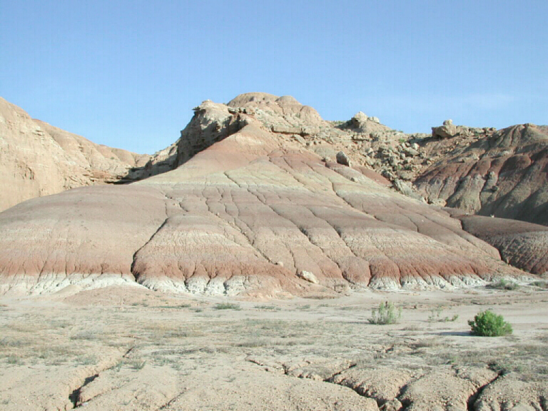
Precipitation is less than eight inches (200 mm) per annum.
External links
Protected Areas of Utah Federal National ParksNational MonumentsNational Historic SitesDesert Biosphere Reserve • Flaming Gorge National Recreation Area • Glen Canyon National Recreation Area • Mormon Pioneer National Historic TrailNational Wildlife Refuges:Bear River Migratory Bird Refuge • Fish Springs • OurayAshdown Gorge • Beartrap Canyon • Beaver Dam Mountains • Black Ridge Canyons • Blackridge • Box-Death Hollow • Canaan Mountain • Cedar Mountain • Cottonwood Canyon • Cottonwood Forest • Cougar Canyon • Dark Canyon • Deep Creek • Deep Creek North • Deseret Peak • Doc's Pass • Goose Creek • High Uintas • LaVerkin Creek • Lone Peak • Mount Naomi • Mount Nebo • Mount Olympus • Mount Timpanogos • Paria Canyon-Vermilion Cliffs • Pine Valley Mountain • Red Mountains • Slaughter Creek • Taylor Creek • Twin Peaks • Wellsville Mountain • Zion
State Antelope Island • Bear Lake • Camp Floyd • Deer Creek • East Canyon • Flight Park • Great Salt Lake • Historic Rail Trail • Hyrum • Jordan River OHV Park • Jordanelle • Red Fleet • Rockport • Starvation • Steinaker • Utah Field House • Utah Lake • Wasatch Mountain • Willard Bay
Fremont Indian • Goblin Valley • Green River • Huntington • Millsite • Palisade • Scofield • Territorial Statehouse • Yuba
Anasazi • Coral Pink Sand Dunes • Dead Horse Point • Edge of the Cedars • Escalante Petrified Forest • Frontier Homestead • Goosenecks • Gunlock • Kodachrome Basin • Otter Creek • Piute • Quail Creek • Sand Hollow • Snow Canyon
Municipal Municipal parksFort Buenaventura • Gallivan Center • Liberty Park • Jordan River Parkway • Minersville Reservoir • Murray City Park • Sugar House Park • Veterans Memorial Park
Categories:- IUCN Category IV
- National Wildlife Refuges in Utah
- Protected areas of Uintah County, Utah
- Utah geography stubs
- Western United States protected area stubs

Wikimedia Foundation. 2010.