- Cottonwood Canyon Wilderness
-
Cottonwood Canyon Wilderness IUCN Category Ib (Wilderness Area)

Location Washington County, Utah, USA Nearest city Leeds, UT Coordinates 37°12′22″N 113°28′33″W / 37.2062094345°N 113.475756°WCoordinates: 37°12′22″N 113°28′33″W / 37.2062094345°N 113.475756°W[1] Area 11,712 acres (47.4 km2) Established March 30, 2009 Governing body Bureau of Land Management Cottonwood Canyon Wilderness is a 11,712-acre (47.4 km2) wilderness area in the US state of Utah. It was designated March 30, 2009, as part of the Omnibus Public Land Management Act of 2009. Located adjacent to the southern edge of the Dixie National Forest, it encompasses and protects a transition zone between the Colorado Plateau to the east and the Mojave Desert to the west.[2] It is bordered by the Cottonwood Forest Wilderness to the northeast and the Red Cliffs National Conservation Area to the east, south, and west.
Contents
Vegetation
Vegetation in Cottonwood Canyon Wilderness includes pockets of yucca, cholla, and mesquite, as well as riparian vegetation such as Fremont cottonwood along several intermittent streams. Higher up toward the Pine Valley Mountains are pinyon pine and juniper. The endangered purple-spined hedgehog cactus (Echinocereus engelmannii var. purpureus) may occur in the area.[2]
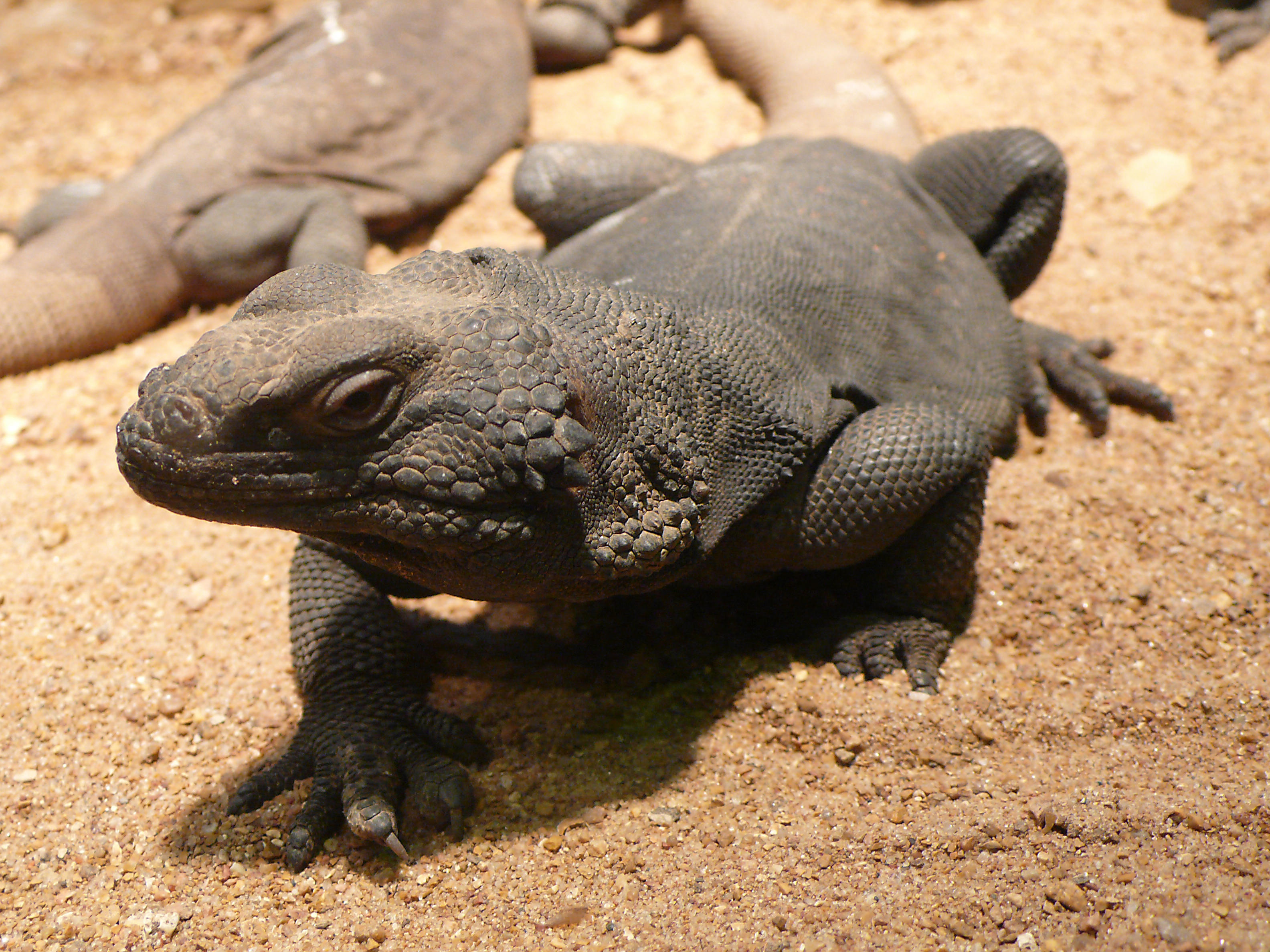
Wildlife
A variety of wildlife is found in Cottonwood Canyon Wilderness, including mule deer, mountain lion, bobcat, and kit fox, as well as gila monster and chuckawalla - both of which are on the State of Utah's list of sensitive species due to shrinking habitat. Common bird species include Gambel's quail, mourning dove, prairie falcon, golden eagle, bald eagle, peregrine falcon, and the more common red-tailed, Cooper's, and sharp-shinned hawks.[2]
See also
References
- ^ "Cottonwood Canyon Wilderness Map". Wilderness.net. http://www.wilderness.net/index.cfm?fuse=NWPS&latitude=37.2062094345&longitude=-113.475756&zoom=12. Retrieved 2011-08-13.
- ^ a b c "The Cottonwood Canyon Wilderness". Southern Utah Wilderness Alliance. http://suwa.convio.net/site/PageServer?pagename=WATE_cottonwoodcn. Retrieved 2011-08-13.
External links
- "Cottonwood Canyon Wilderness". Wilderness.net. http://www.wilderness.net/index.cfm?fuse=NWPS&sec=wildView&WID=717.
- "Map of wilderness areas in north-central Washington County, Utah". U.S. Forest Service. http://www.fs.fed.us/land/staff/Wilderness-Act-2009/Maps/Utah/RedCliffsNCANov1208.pdf.
Protected Areas of Utah Federal National ParksNational MonumentsNational Historic SitesDesert Biosphere Reserve • Flaming Gorge National Recreation Area • Glen Canyon National Recreation Area • Mormon Pioneer National Historic TrailNational Wildlife Refuges:Bear River Migratory Bird Refuge • Fish Springs • OurayAshdown Gorge • Beartrap Canyon • Beaver Dam Mountains • Black Ridge Canyons • Blackridge • Box-Death Hollow • Canaan Mountain • Cedar Mountain • Cottonwood Canyon • Cottonwood Forest • Cougar Canyon • Dark Canyon • Deep Creek • Deep Creek North • Deseret Peak • Doc's Pass • Goose Creek • High Uintas • LaVerkin Creek • Lone Peak • Mount Naomi • Mount Nebo • Mount Olympus • Mount Timpanogos • Paria Canyon-Vermilion Cliffs • Pine Valley Mountain • Red Mountains • Slaughter Creek • Taylor Creek • Twin Peaks • Wellsville Mountain • Zion
State Antelope Island • Bear Lake • Camp Floyd • Deer Creek • East Canyon • Flight Park • Great Salt Lake • Historic Rail Trail • Hyrum • Jordan River OHV Park • Jordanelle • Red Fleet • Rockport • Starvation • Steinaker • Utah Field House • Utah Lake • Wasatch Mountain • Willard Bay
Fremont Indian • Goblin Valley • Green River • Huntington • Millsite • Palisade • Scofield • Territorial Statehouse • Yuba
Anasazi • Coral Pink Sand Dunes • Dead Horse Point • Edge of the Cedars • Escalante Petrified Forest • Frontier Homestead • Goosenecks • Gunlock • Kodachrome Basin • Otter Creek • Piute • Quail Creek • Sand Hollow • Snow Canyon
Municipal Municipal parksFort Buenaventura • Gallivan Center • Liberty Park • Jordan River Parkway • Minersville Reservoir • Murray City Park • Sugar House Park • Veterans Memorial Park
Categories:- IUCN Category Ib
- Wilderness Areas of Utah
- Protected areas of Washington County, Utah
- Bureau of Land Management areas in Utah

Wikimedia Foundation. 2010.