- Nyingchi Mainling Airport
-
Nyingchi Mainling Airport
林芝米林机场
Línzhī Mǐlín Jīchǎng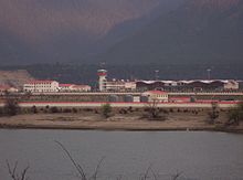
Nyingchi Mainling Airport IATA: LZY – ICAO: ZUNZ Summary Airport type Public Serves Nyingchi Location Mainling, Tibet Autonomous Region, China Elevation AMSL 2,949 m / 9,675 ft Coordinates 29°18′12″N 94°20′07″E / 29.30333°N 94.33528°ECoordinates: 29°18′12″N 94°20′07″E / 29.30333°N 94.33528°E Map Location of airport in Tibet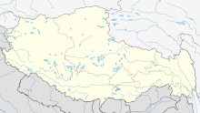
 LZY
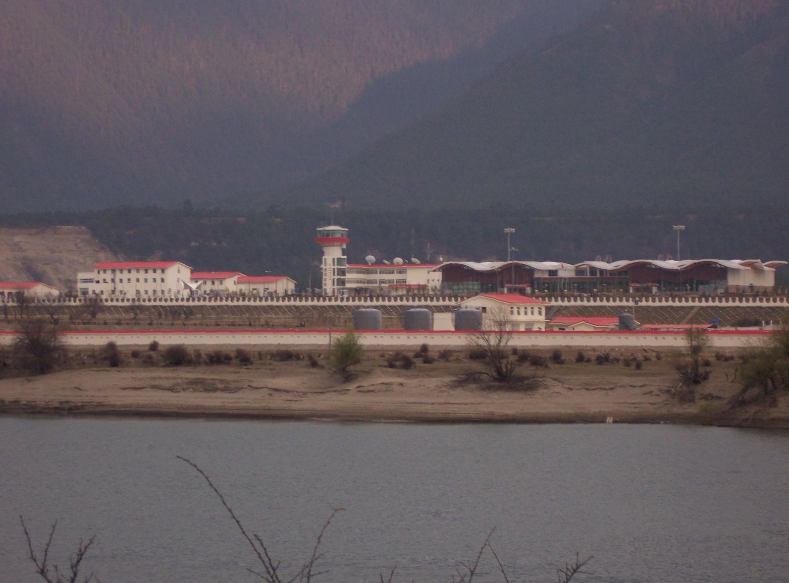
LZYRunways Direction Length Surface m ft 05/23 3,000 9,843 Concrete Sources: [1][2] Nyingchi Mainling Airport (simplified Chinese: 林芝米林机场; traditional Chinese: 林芝米林機場; pinyin: Línzhī Mǐlín Jīchǎng) (IATA: LZY, ICAO: ZUNZ) is an airport in Mainling, Nyingchi Prefecture, Tibet Autonomous Region, China. It is suggested to be one of the most challenging instrument approaches in the world, since the airport is in a winding valley.[3].
Nyingchi Airport is the third airport that Tibet has put into operation. Built at a cost of 780 million yuan (96.18 million U.S. dollars), including investment by the General Administration of Civil Aviation of China (CAAC), the airport is 2,949 meters above sea level, lower than the other two civil airports, with a designed annual passenger flow of 120,000.
Known as 'the world's most difficult airport for planes to reach', Nyingchi Airport is situated in the valley of Yarlung Zangbo River in the Southeast of Qinghai-Tibet Plateau, surrounded by over 4000m high mountains enveloped by clouds and fogs throughout the year. Planes have to fly through the narrow and winding river valley. The narrowest flight path is less than 4 km from one mountain ridge along the valley to the opposite one. According to meteorological data, there are just 100 days overall that are airworthy in the airport each year.
Airlines and destinations
Airlines Destinations Air China Chengdu See also
References
Categories:- Airports in the Tibet Autonomous Region
- People's Republic of China airport stubs
- Tibet geography stubs

Wikimedia Foundation. 2010.