- Woodditton
-
Coordinates: 52°11′59″N 0°26′04″E / 52.1996°N 0.4345°E
Woodditton 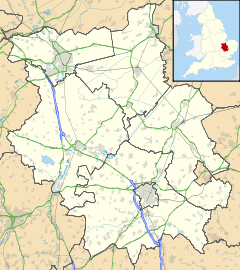
 Woodditton
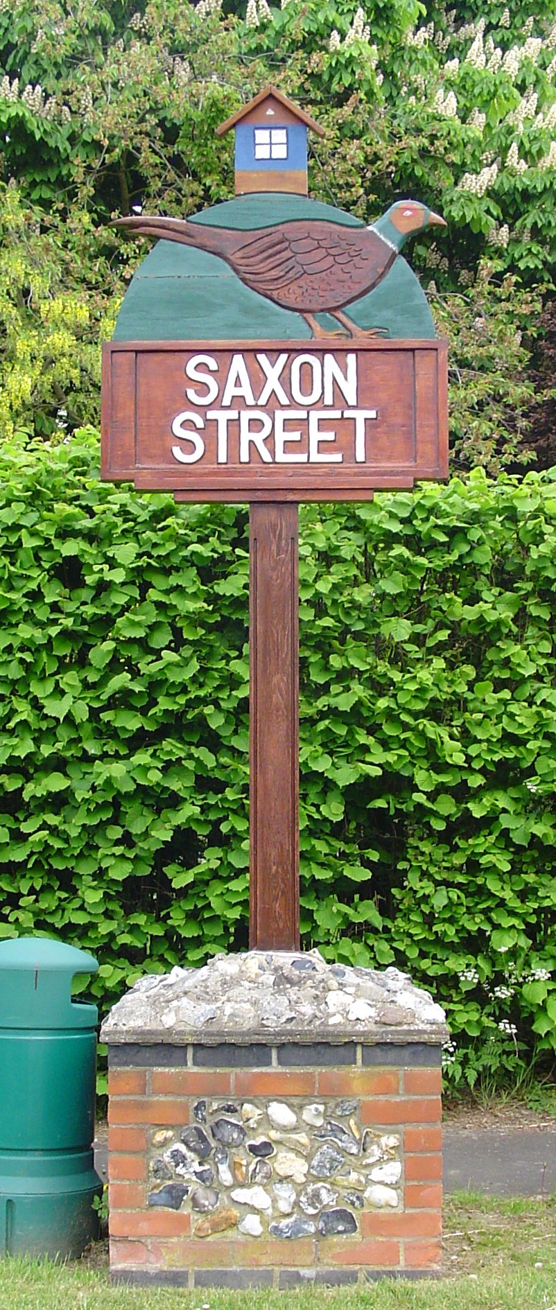
Woodditton shown within CambridgeshirePopulation 1,789 OS grid reference TL6658 District East Cambridgeshire Shire county Cambridgeshire Region East Country England Sovereign state United Kingdom Post town Newmarket Postcode district CB8 Dialling code 01638 Police Cambridgeshire Fire Cambridgeshire Ambulance East of England EU Parliament East of England List of places: UK • England • Cambridgeshire  Signpost in Saxon Street
Woodditton is a village and civil parish in East Cambridgeshire, England. The other settlements in the parish are Ditton Green, Little Ditton and Saxon Street. At the time of the 2001 census, the parish's population was 1,789 people.[1]
Local website is http://www.wood-ditton.org.uk
References
- ^ Office for National Statistics: Woodditton CP: Parish headcounts. Retrieved 13 December 2009
External links
 Media related to Woodditton at Wikimedia Commons
Cities 
Towns Villages Aldreth • Ashley • Barway • Bottisham • Brinkley • Burwell • Chettisham • Cheveley • Chippenham • Coveney • Dullingham • Fordham • Haddenham • Isleham • Little Downham • Little Thetford • Littleport • Lode • Longmeadow • Mepal • Prickwillow • Pymoor • Queen Adelaide • Reach • Stetchworth • Stretham • Stuntney • Sutton • Swaffham Bulbeck • Swaffham Prior • Upware • Wicken • Wilburton • Witcham • Witchford • WooddittonCivil Parishes Categories:- Villages in Cambridgeshire
- Civil parishes in Cambridgeshire
- Cambridgeshire geography stubs

Wikimedia Foundation. 2010.