- Dapto railway station
-
 Dapto
Dapto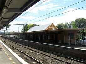
South Coast Line Station code DAP Town Dapto Street(s) Station Street Distance from Central Station 95.05 km Altitude (above sea level) ? m Types of stopping trains Intercity Number of platforms 3 Number of tracks 3 Platform arrangement 2 Side
1 DockType of station Ground Ticket barriers No Transfers available Train
BusDisabled access 
Yes (Assisted) Station facilities Link Dapto is a CityRail railway station on the South Coast railway line. It serves the suburb of Dapto the southernmost suburb of Wollongong. The original Dapto railway station was constructed in 1880. In November 2000, it was added to the state heritage list.[1]
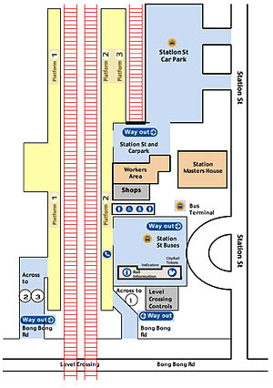
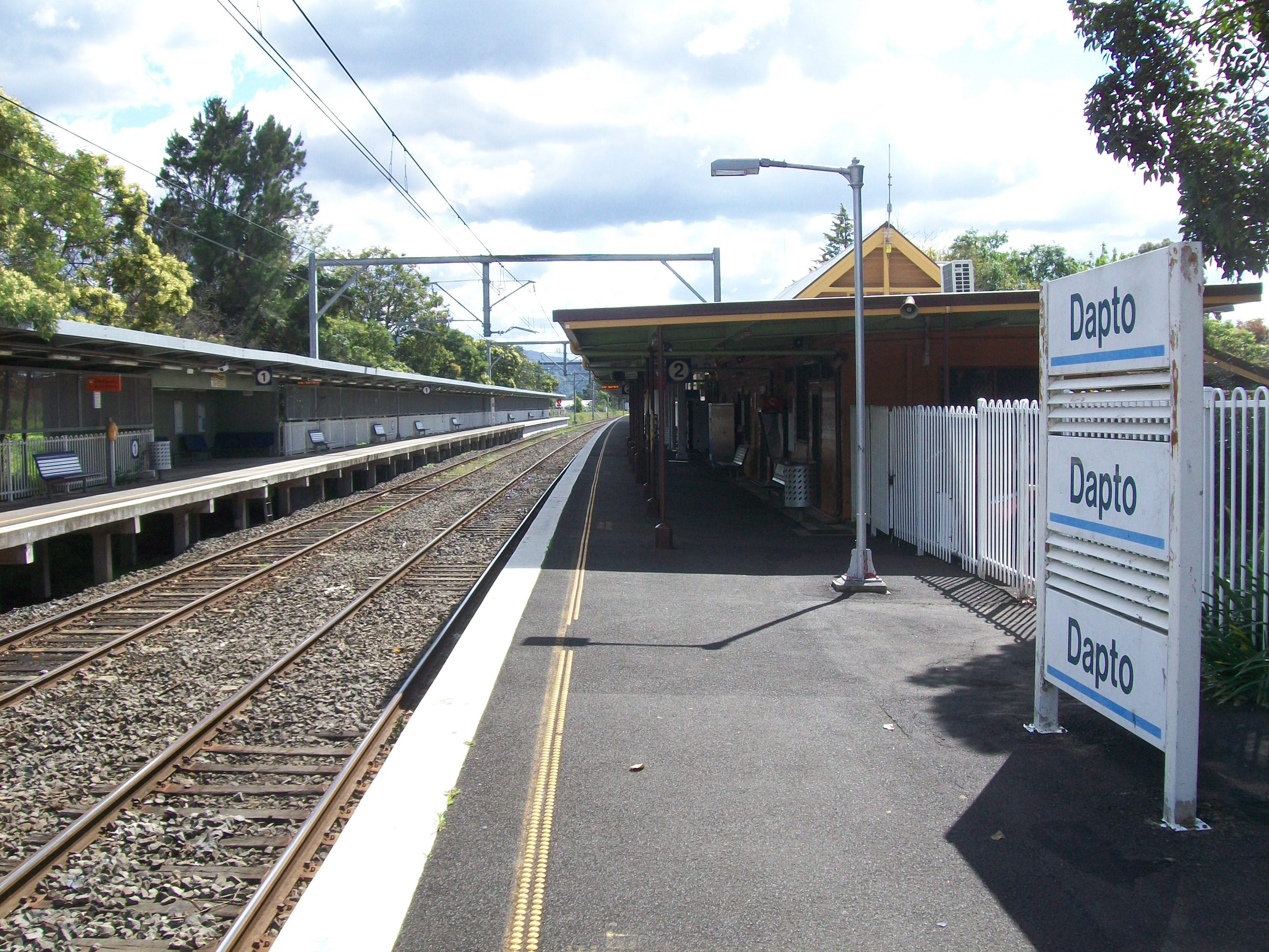
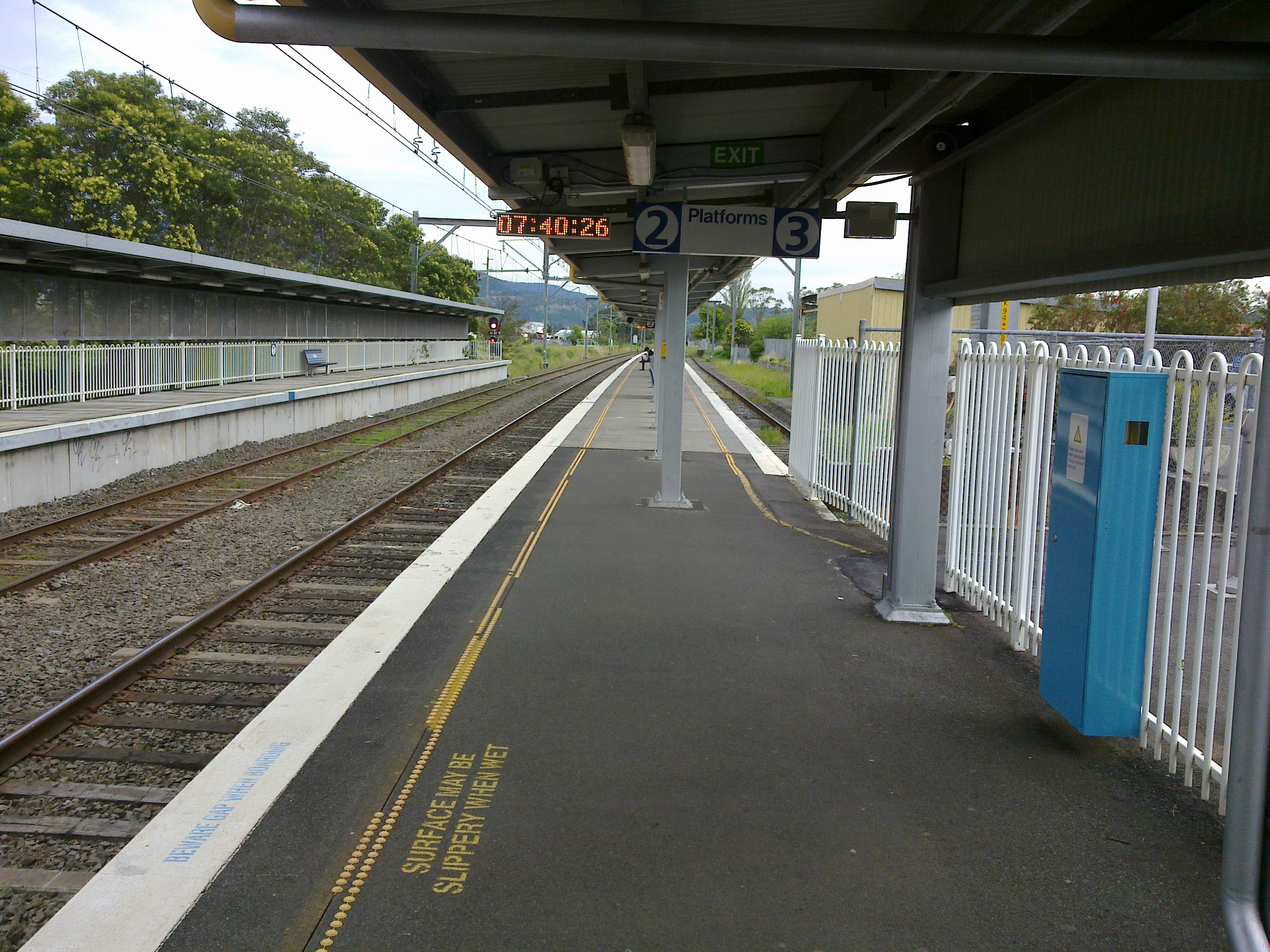
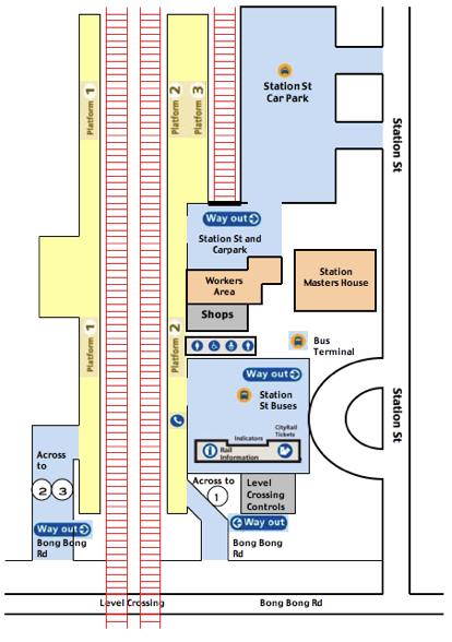
The station has three platforms; two side platforms and a dock platform for terminating trains. Many trains from Sydney terminate at this station, as well as a limited number of electric and diesel services from Kiama and Bomaderry. Until 2001, it was the end point for electric trains on the line. Today the electric wires extend to Kiama.
Contents
Platforms and services
Platform Line Stopping Pattern Notes 
South Coast Line Intercity services to Kiama. Peak Intercity services to Bomaderry. Accessed via walking over rail crossing 
South Coast Line Terminating services from Bomaderry; Intercity services to Wollongong and Sydney Terminal. Main platform attached to station 
South Coast Line Terminating services; Intercity services to Wollongong and Sydney Terminal. Terminating Dock Platform Transport links
Premier Illawarra runs two routes to and from Dapto railway station:
- 32 - to Wollongong.
- 37 - Wollongong Loop.
Other information
The Railway Line serves as a suburb border line of Dapto and Horsley. It is also the main entry point to Horsley and Dapto.
Image gallery
-
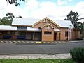
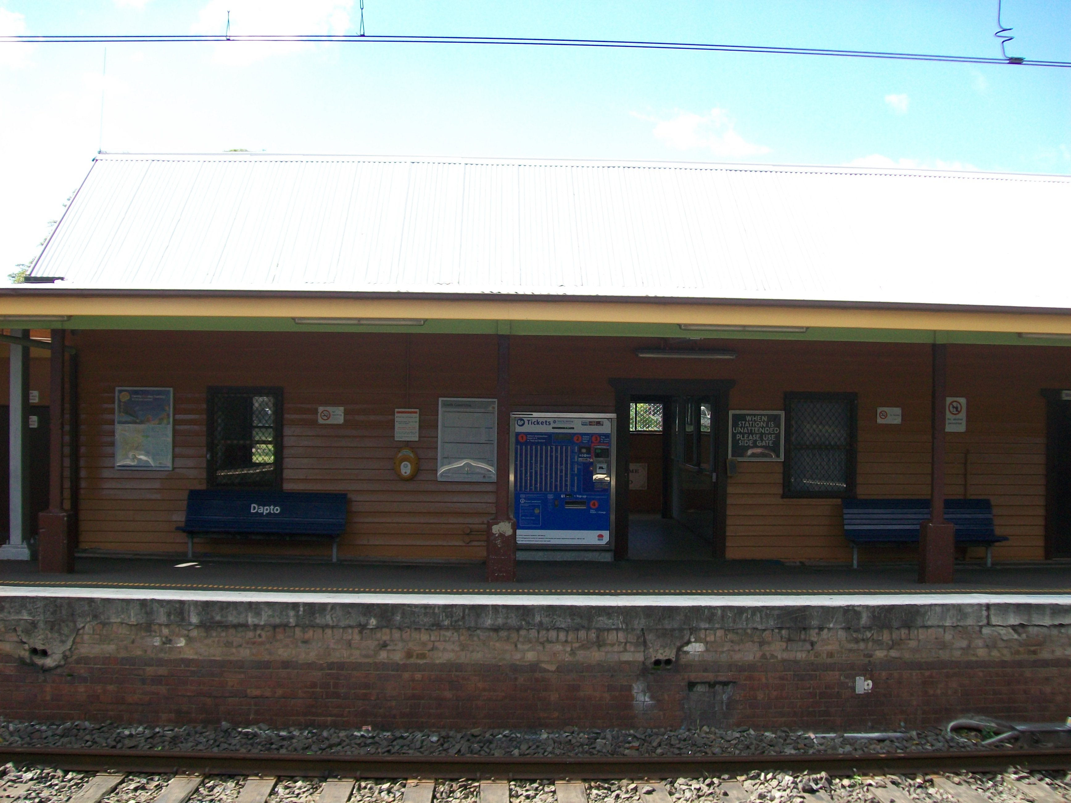
The Station Building Entrance
-

Looking North to platforms from level crossing
-

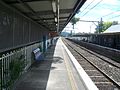
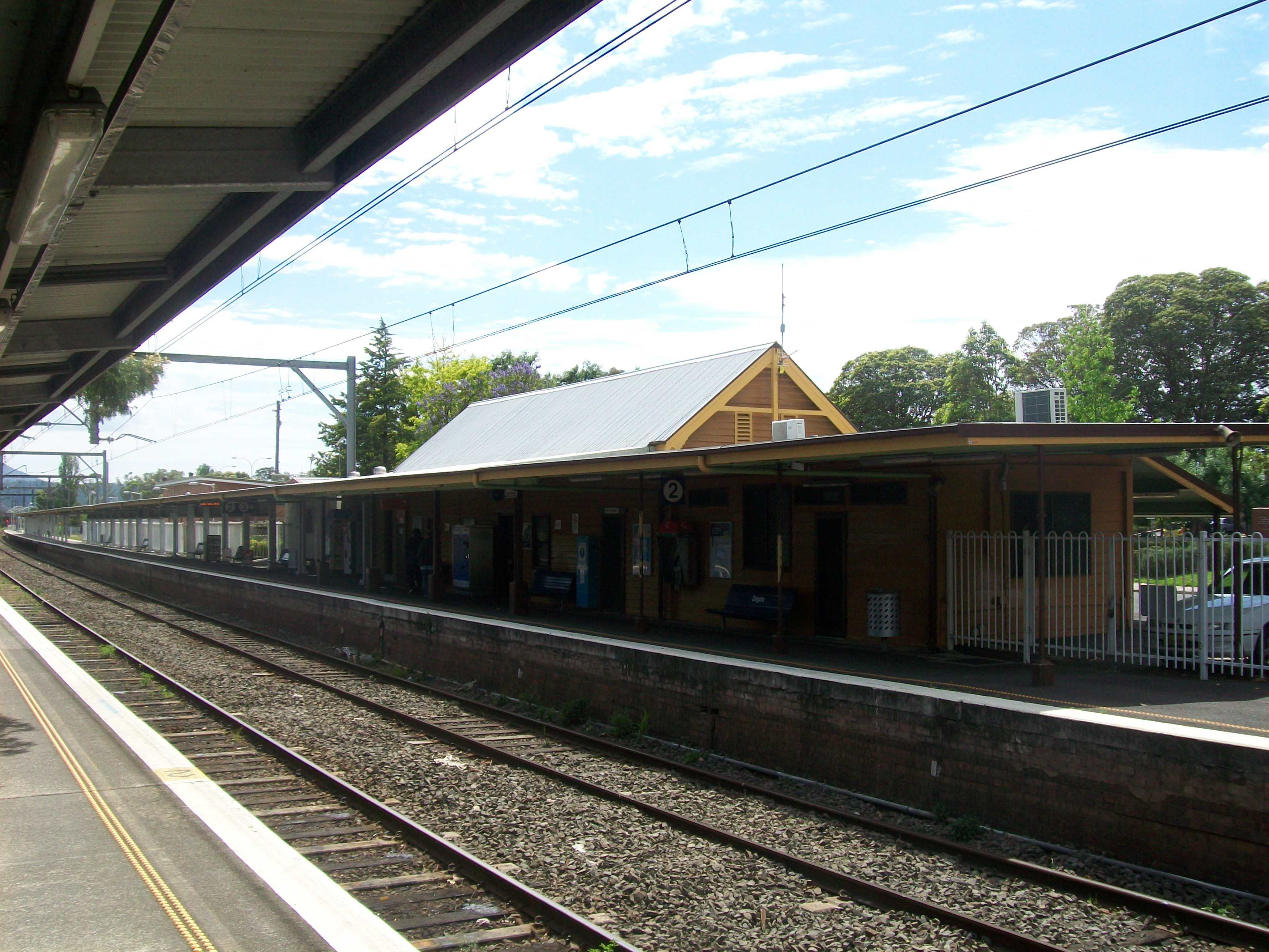
Station building seen from Platform 1
-
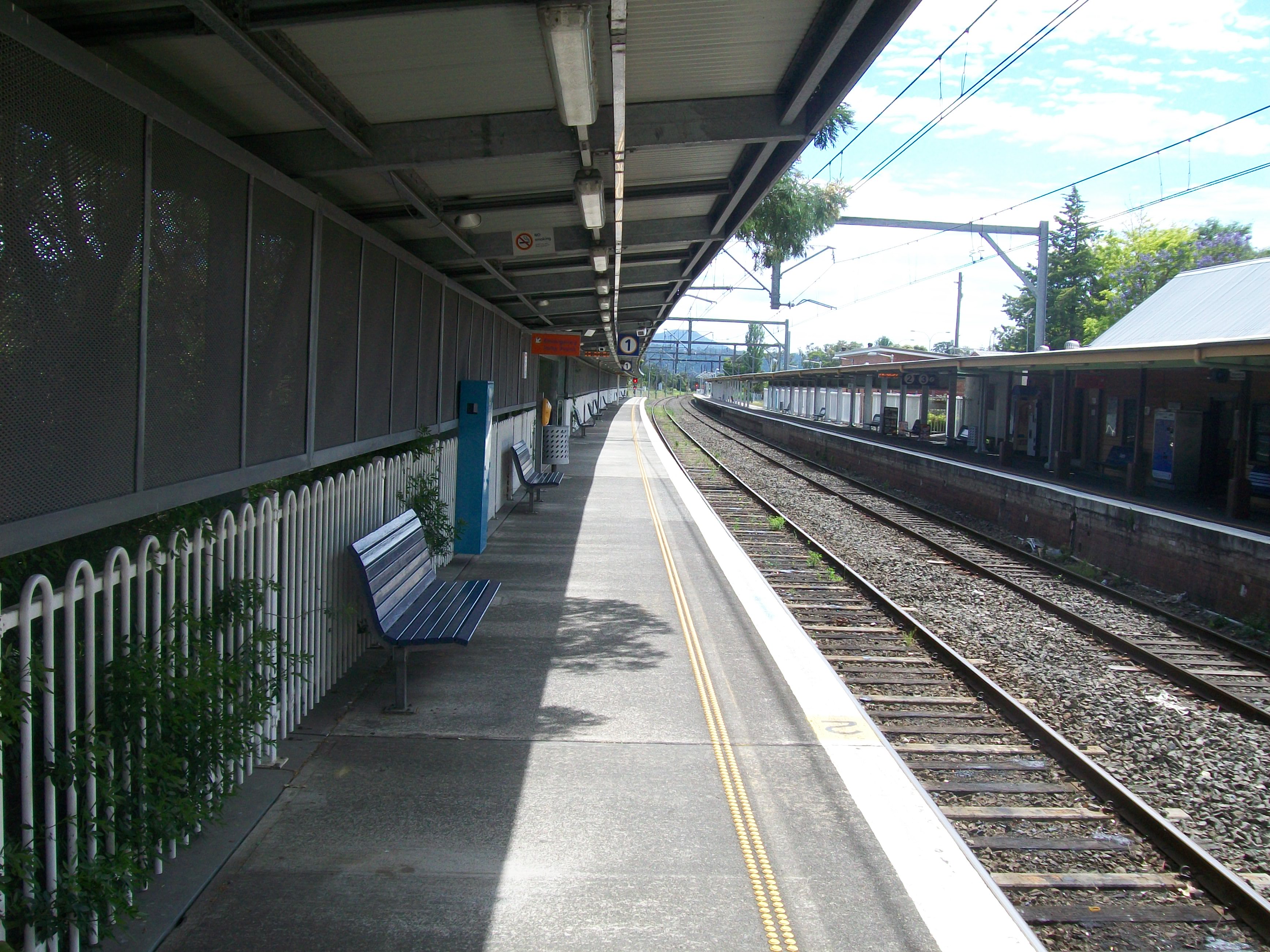
Platform 1
-

Platform 2
-
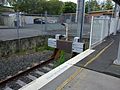
Platform 3, the dock platform
-
Terminating end of Platform 3
-

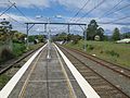
Platforms 1, 2 and 3 Looking North
-

Looking South from Middle of Platform 2
-
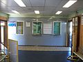
Ticket Office
-

Waiting room inside ticket office area
-
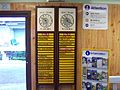
Manual Indicators
-

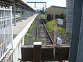
Looking south to level crossing
-
Looking south from the end of platforms 2 & 3
Station layout map
Neighbouring stations
Preceding station CityRail Following station towards Bomaderry (Nowra)South Coast Line towards CentralCoordinates: 34°29′33″S 150°47′31″E / 34.492427°S 150.791838°E
References
- ^ "Dapto Railway Station group". State Heritage Register. http://www.heritage.nsw.gov.au/07_subnav_02_2.cfm?itemid=5011984. Retrieved 18 November 2010.
Categories:- Railway stations opened in 1887
- Regional railway stations in New South Wales
- New South Wales rail transport stubs


Wikimedia Foundation. 2010.