- Coledale railway station
-
 Coledale
South Coast Line Station code COL Town Coledale Street(s) Cater Street Distance from Central Station 66.23 km Altitude (above sea level) ? m Types of stopping trains Intercity Number of platforms 2 Number of tracks 2 Platform arrangement 1 Island Type of station Ground Ticket barriers No Transfers available Bus Disabled access 
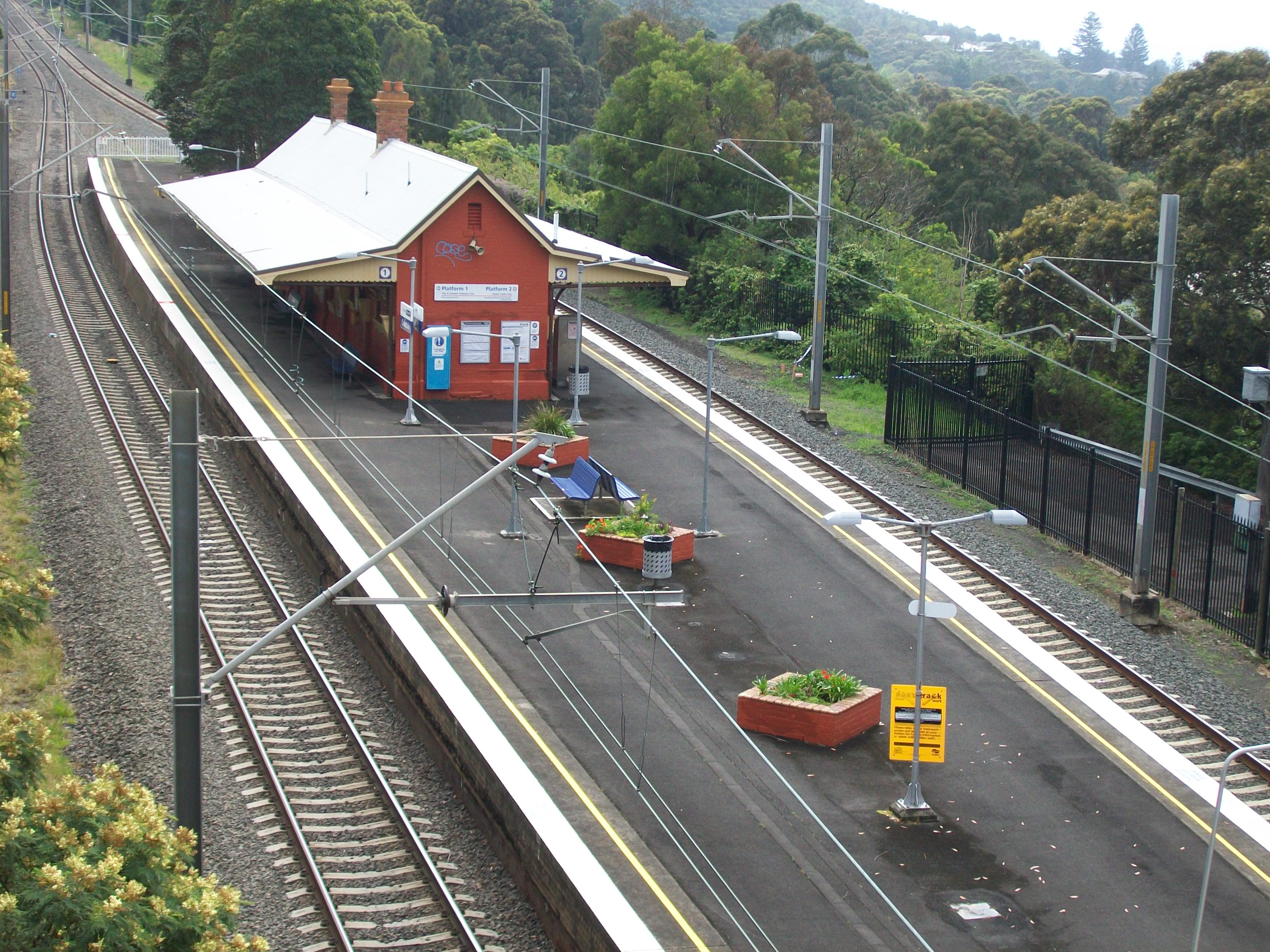
No Station facilities Link Coledale is a railway station on the South Coast Line of the CityRail interurban network, serving the beachside town of Coledale, a small town on the Illawarra escarpment.
The station has an island platform. It is served by one train every two hours during the off-peak, with more trains during peak hours.
At 6:50pm on 25 January 2011, a 9-year-old girl was killed at Coledale Station after reportedly playing on the tracks. Around 100 passengers on the southbound OSCAR train waited onboard for more than one-and-a-half hours while emergency service crews attended the incident.[1][2]
Other South Coast trains on the track at the time were also halted.
Contents
Platforms and services
Platform Line Stopping Pattern Notes 
South Coast Line intercity services to Helensburgh, Waterfall and Sydney Terminal peak hour intercity services to Bondi Junction 
South Coast Line intercity services to Thirroul, Wollongong, Port Kembla, Dapto and Kiama via Wollongong References
Image gallery
-
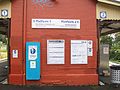
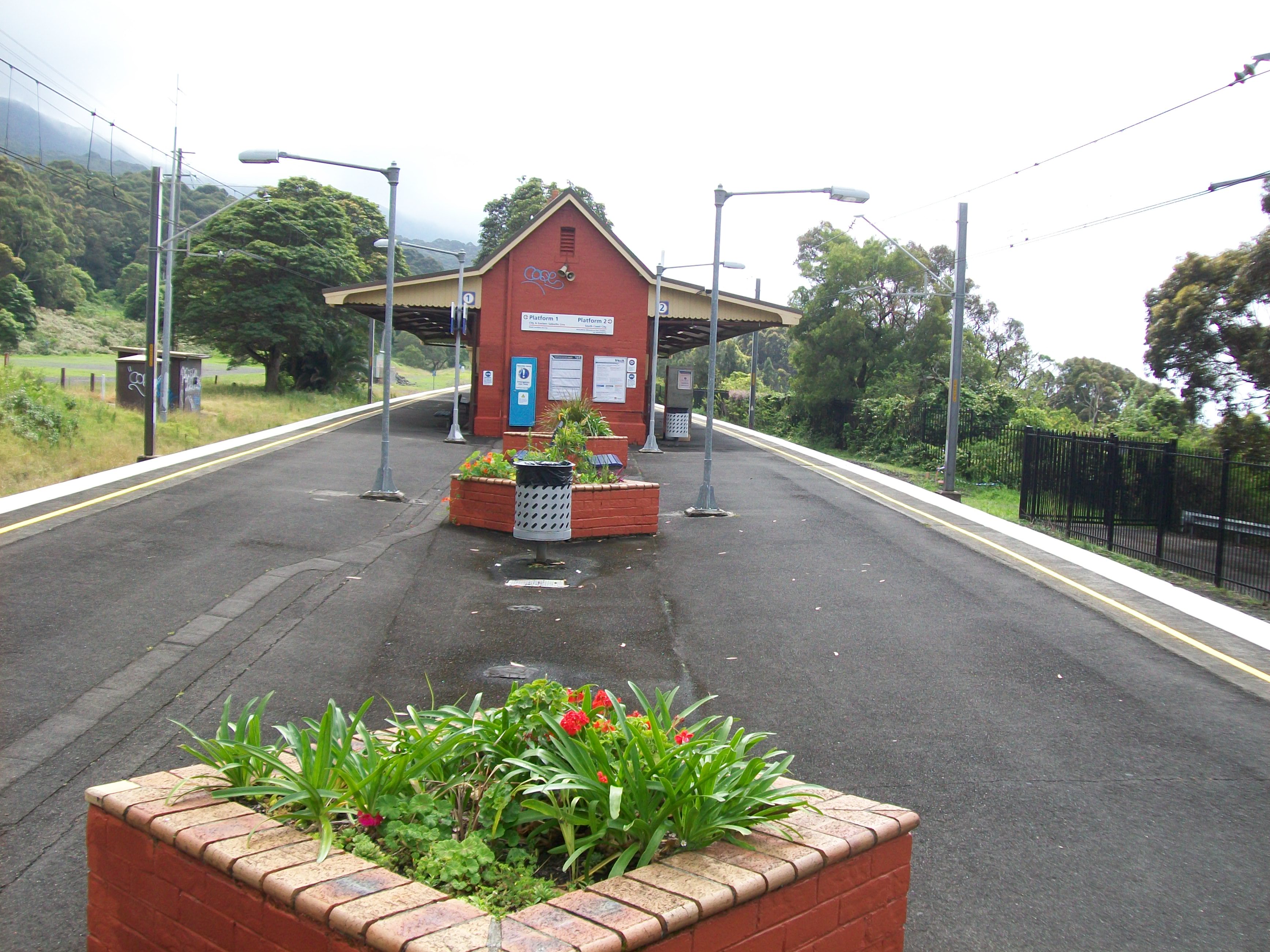
Platform Signage. Despite being orange on the signs, the line serving this station is actually denoted by blue colour.
-
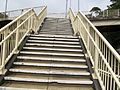
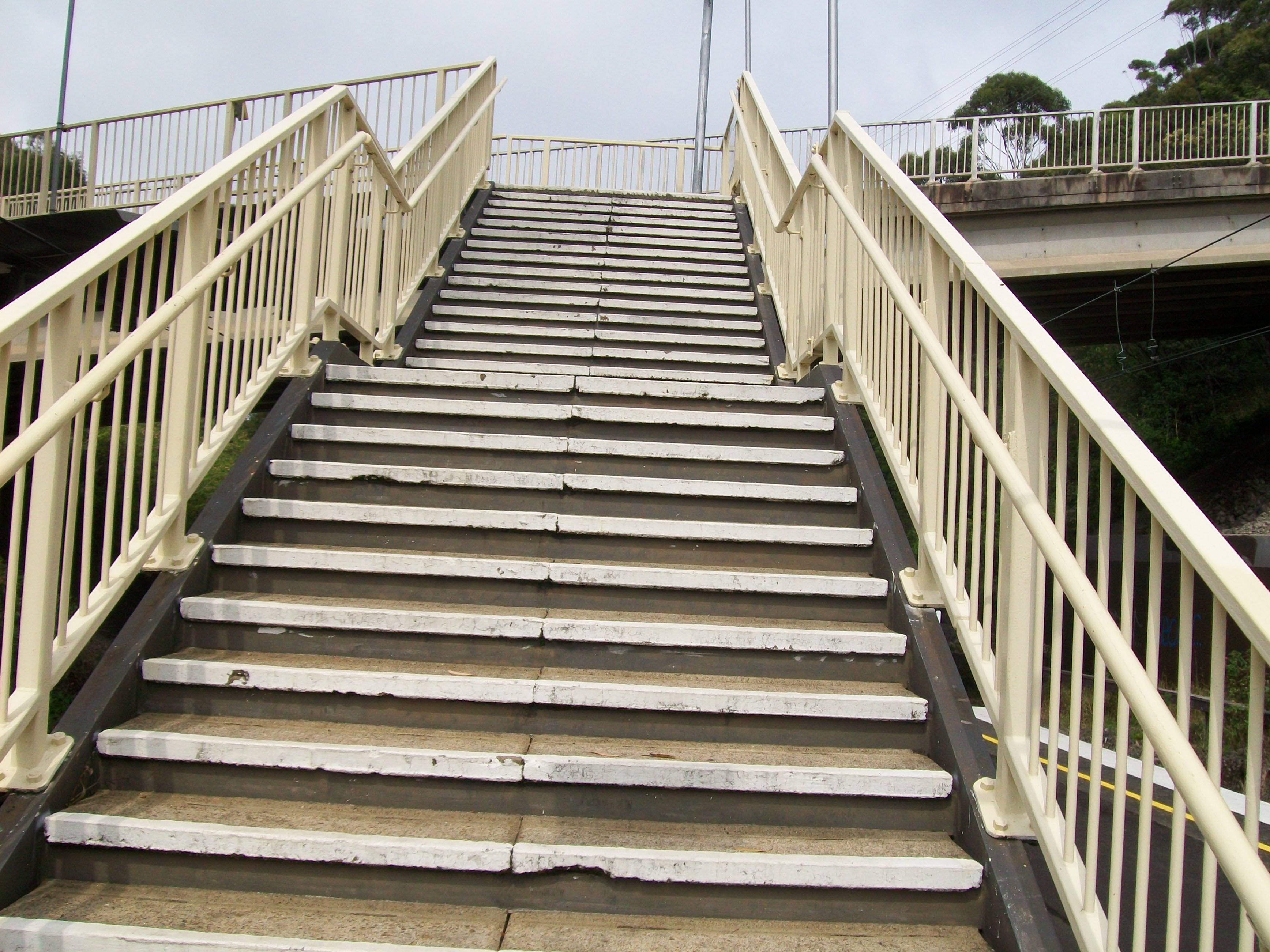
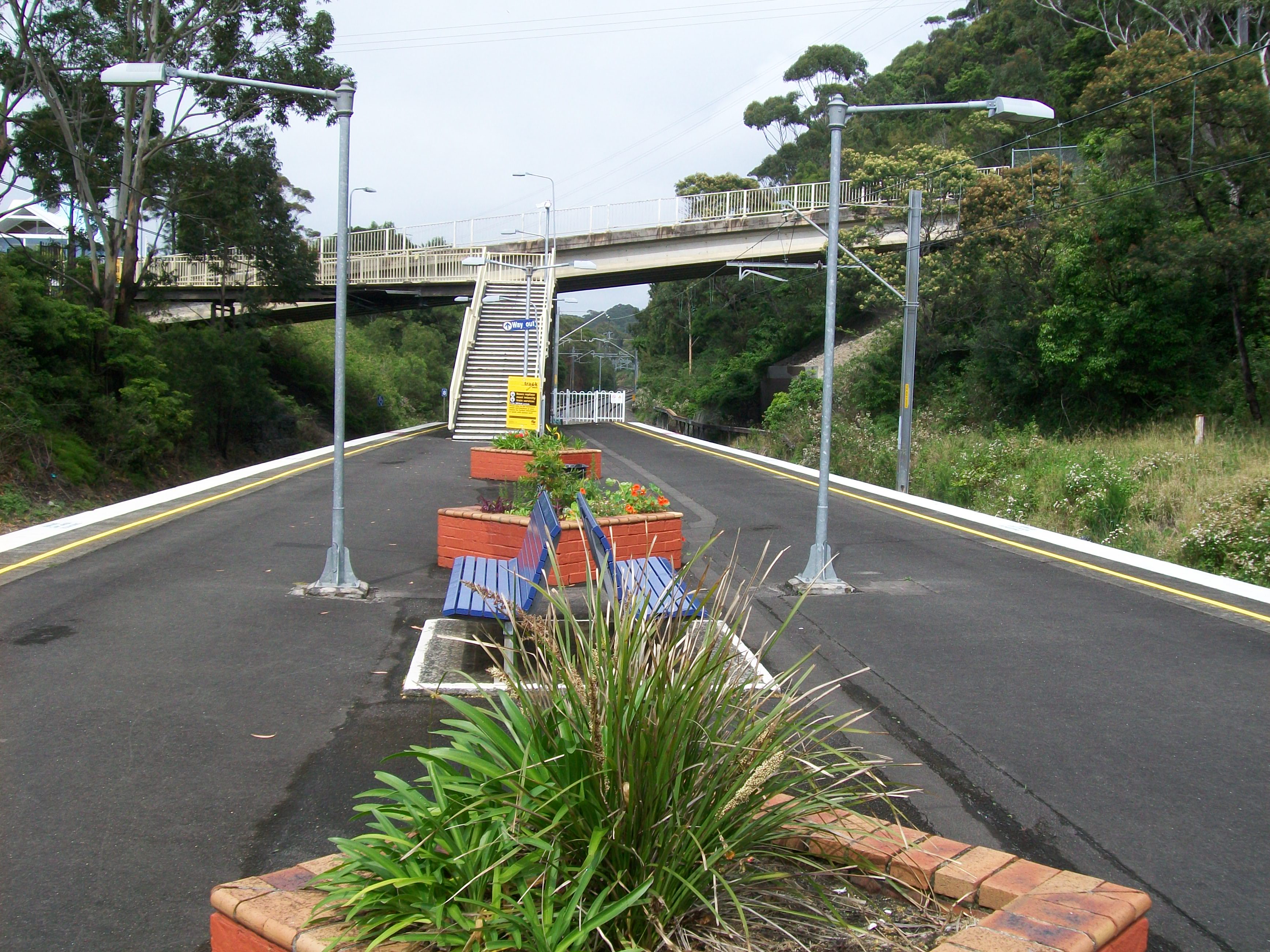
Stairs leading to exit of station
-

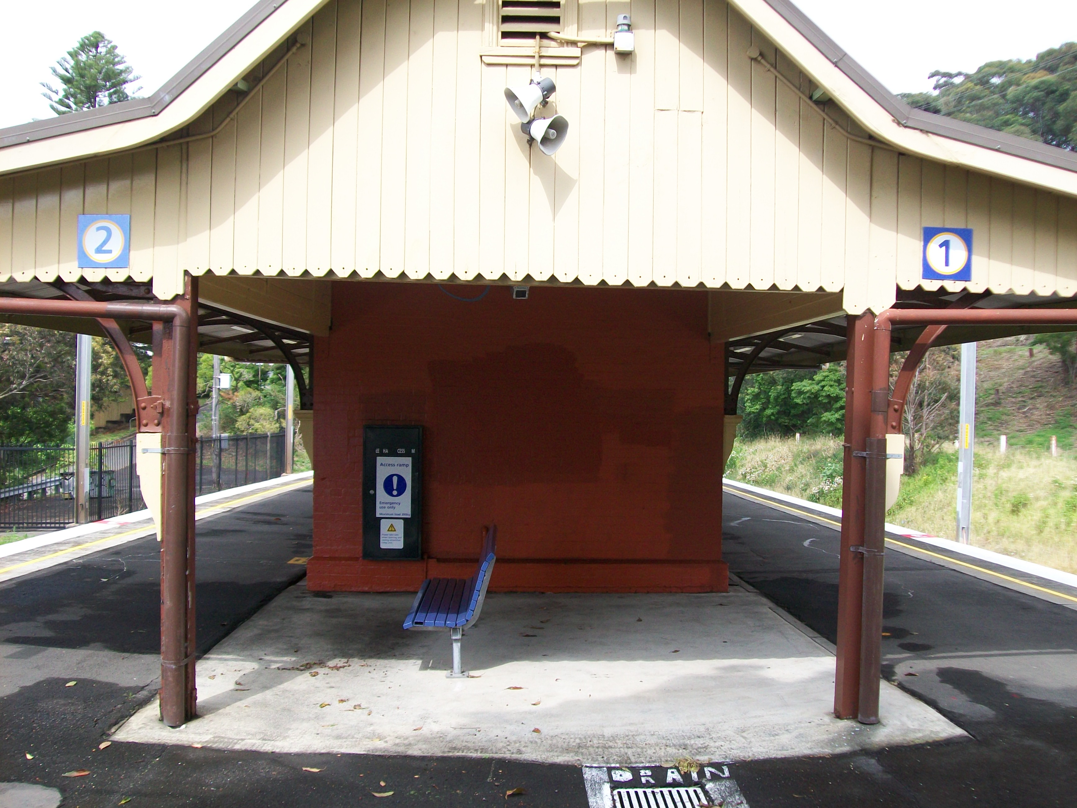
Undercover seating area at northern end of the station building
-
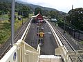
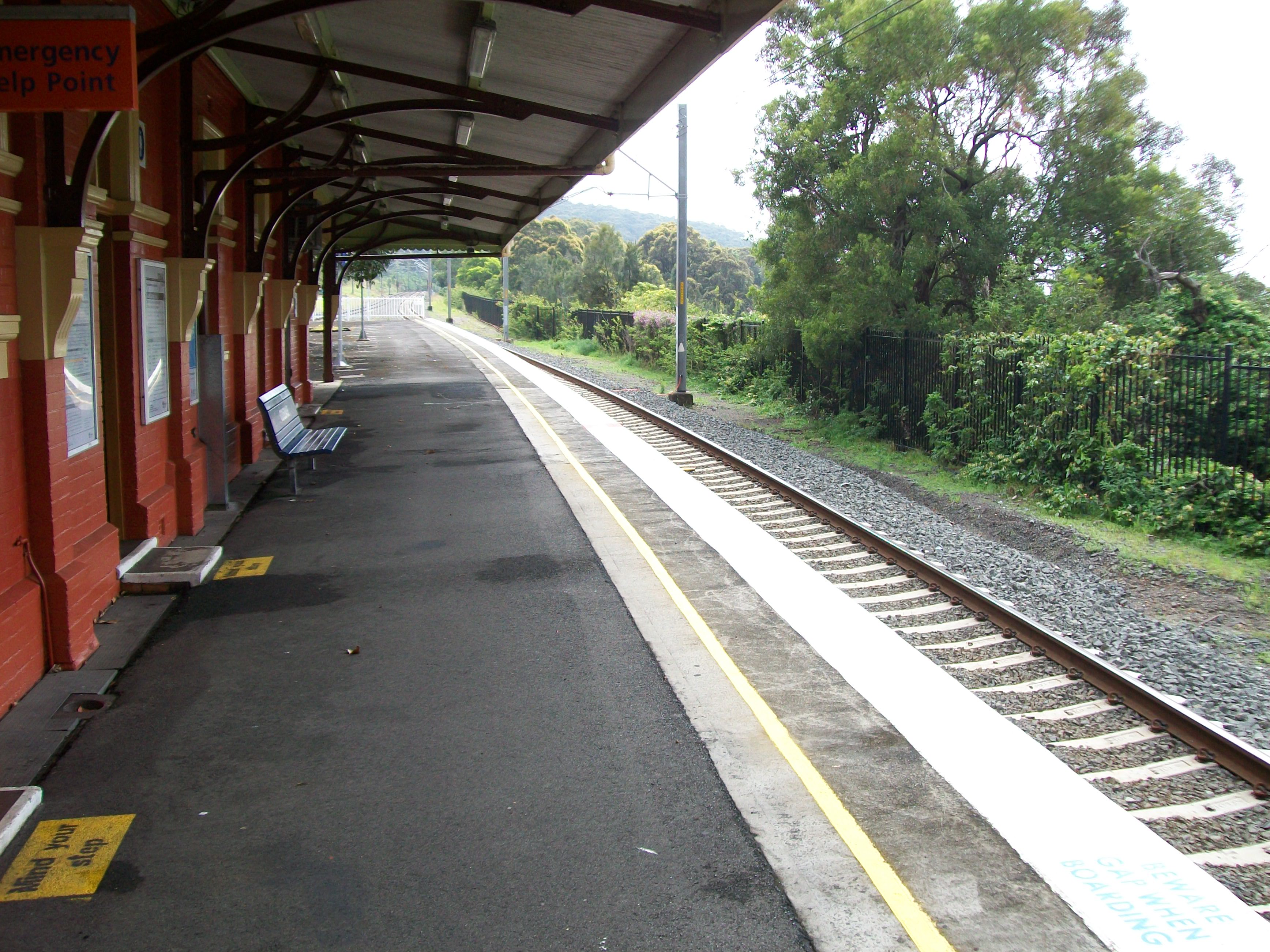
Northern end of platforms
-

Looking at station building from south end
-
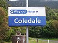
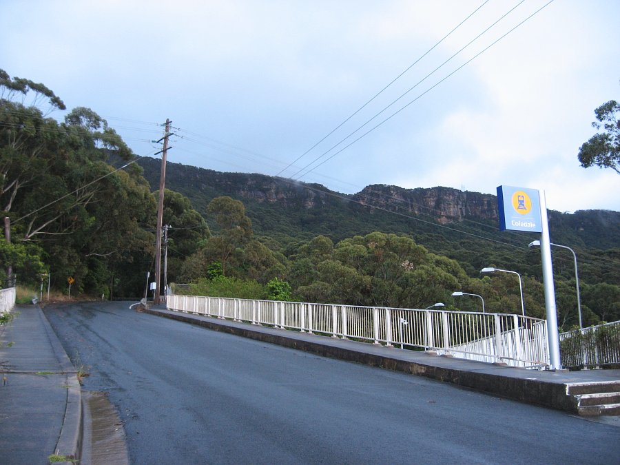
Station name sign
-
Exit of station and sign
-

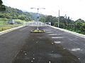
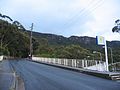
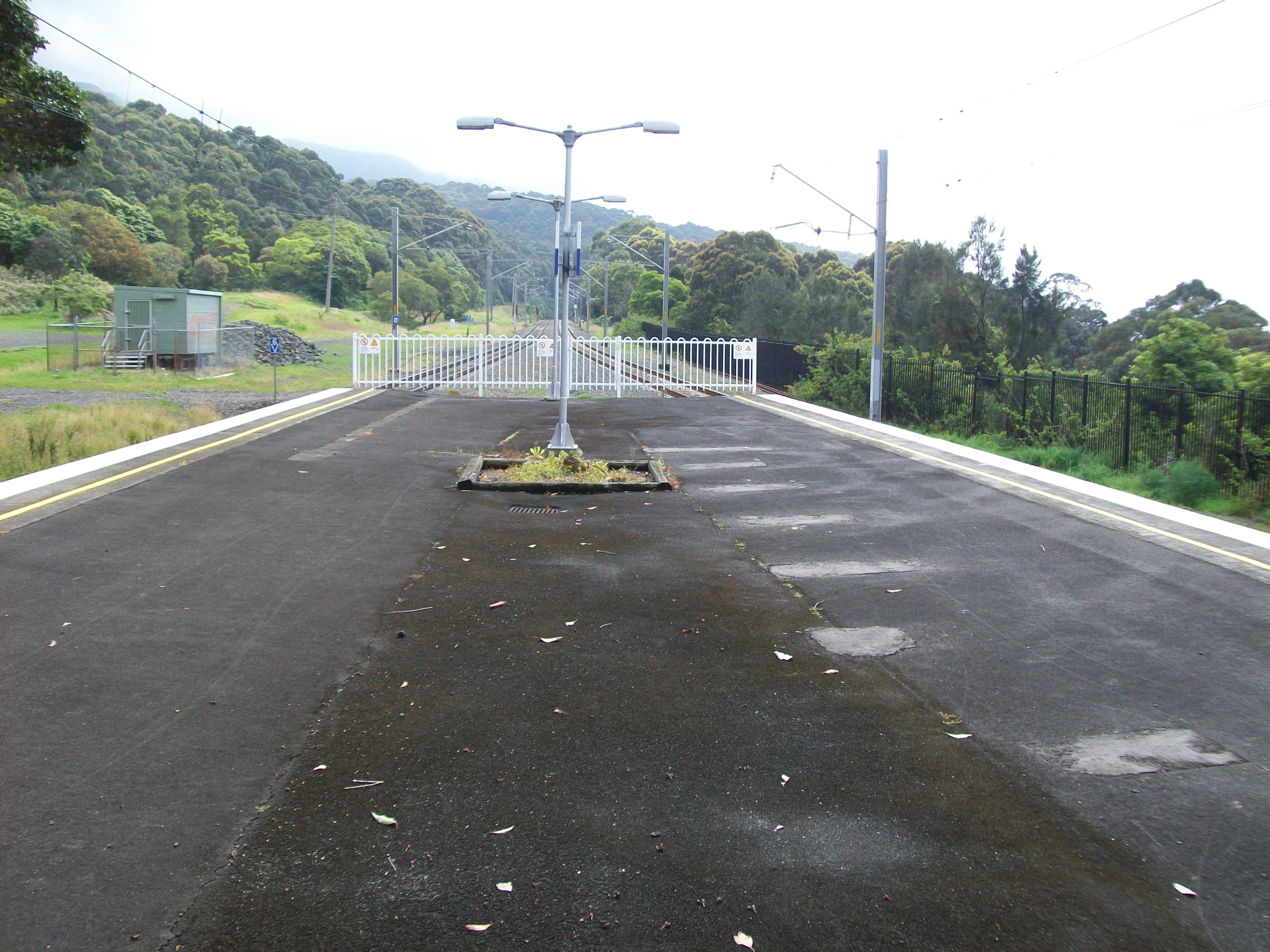
Looking south at bridge
-
Stairs at entry to station
-
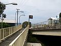
Roadside entry to Coledale Station, at the top of a steep hill
-
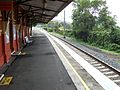
Platform 2
Neighbouring stations
Preceding station CityRail Following station towards Bomaderry (Nowra) or Port KemblaSouth Coast Line towards CentralCoordinates: 34°17′22″S 150°56′37″E / 34.289530°S 150.943590°E
Categories:- Regional railway stations in New South Wales
- New South Wales rail transport stubs
-


Wikimedia Foundation. 2010.