- Oak Flats railway station, New South Wales
Cityrail Station alt|station_name=Oak Flats|
servicearea=South Coast Line|servicearea_color=#South Coast line colour|servicearea_textcolor=white
code=OAF|suburb=Oak Flats|street=Princes Hwy|distance=105.52|altitude=?|traintype=Intercity|platforms=1|tracks=1|platform_arr=1 Side|stationtype=Ground|gates=No|connect=Bus|disabled=Yes
facilities= [http://www.cityrail.info/facilities/facilities.jsp?n=207&giveOutput=true&facility= Link]Oak Flats is a station on the
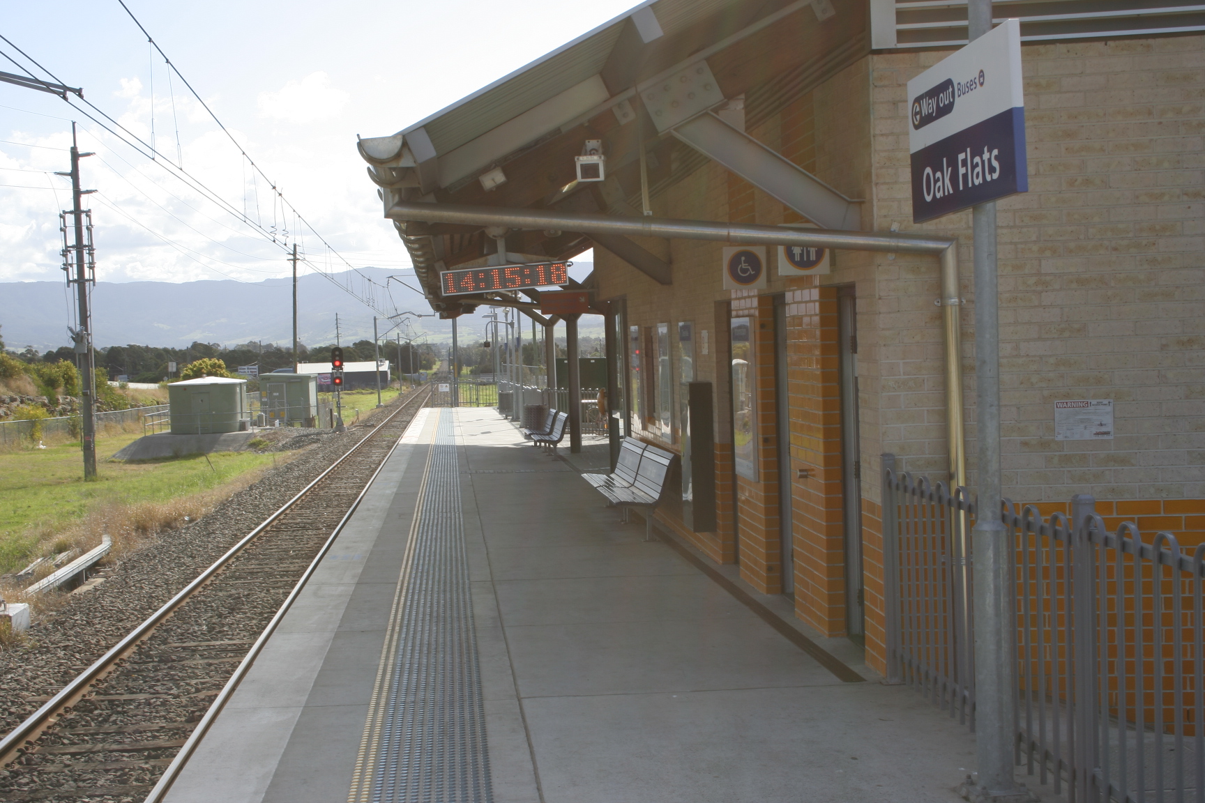
Cityrail South Coast line inNew South Wales . It serves the suburb of Oak Flats.It is located on the single track section of the South Coast line between Unanderra and Bomaderry and has a single side platform.History
A station opened on the site in 1925. In 2003 Oak Flats was rebuilt with a bus interchange about 400m south of its original site and the platform was moved to the eastern side of the track. [cite web | title = Oak Flats railway station | url = http://www.nswrail.net/locations/photo.php?name=NSW:Oak+Flats:1&line=NSW:south+coast:0 | publisher= www.nswrail.net | accessdate = 2007-06-26 ]
Platforms/Service
Platform 1:
*South Coast line colour>South Coast Line - Trains to Dapto, Wollongong and Sydney Terminal
*South Coast line colour>South Coast Line - Trains to Kiama and Bomaderry(Nowra)Transport Links
Premier Illawarra runs nine routes to and fron Oak Flats railway station:
*37 -Wollongong Loop.
*43 - Between Dapto and Port Kembla.
*51 - toUniversity of Wollongong .
*52 - to Wollongong station.
*53 - toUniversity of Wollongong .
*54 - to Wollongong station.
*57 -Wollongong Loop.
*70 - to Shellharbour District.
*76 - to Shellharbour District.Accessibility
Oak Flats has a side platform with near street level access. It therefore has close to
Easy Access for wheelchairs.ee also
*
Neighbouring stations
References
Wikimedia Foundation. 2010.