- Oak Flats railway station
-
 Oak Flats
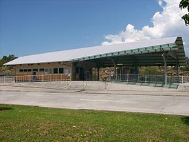
South Coast Line Station code OAF Suburb Oak Flats Street(s) Princes Highway Distance from Central Station 105.52 km Altitude (above sea level) ? m Types of stopping trains Intercity Number of platforms 1 Number of tracks 1 Platform arrangement 1 Side Type of station Ground Ticket barriers No Transfers available Bus Disabled access 
Yes Station facilities Link Oak Flats is a station on the Cityrail South Coast line in New South Wales. It serves the suburb of Oak Flats.It is located on the single track section of the South Coast line between Unanderra and Bomaderry and has a single side platform.
Contents
History
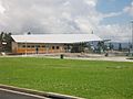
A station opened on the site in 1925. In 2003 Oak Flats was rebuilt with a bus interchange about 400m south of its original site and the platform was moved to the eastern side of the track.[1]
-
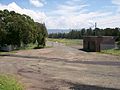
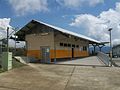
The site where the old station was located. This brick building is the only remaining remnants of the station.
-
The platform of the old station was located on the left side of the track
-

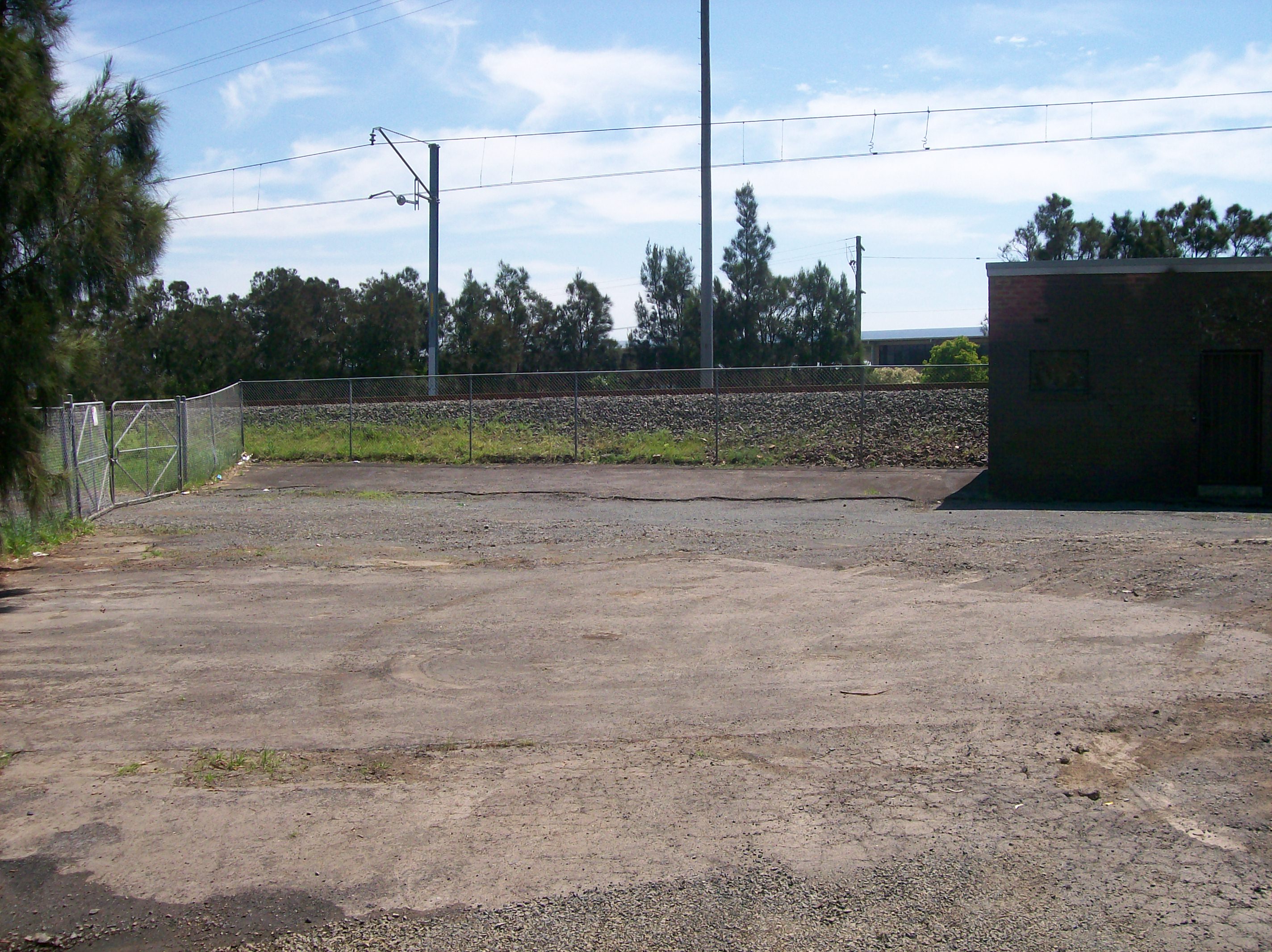
Carpark at old station
-

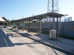
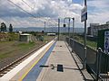
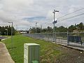
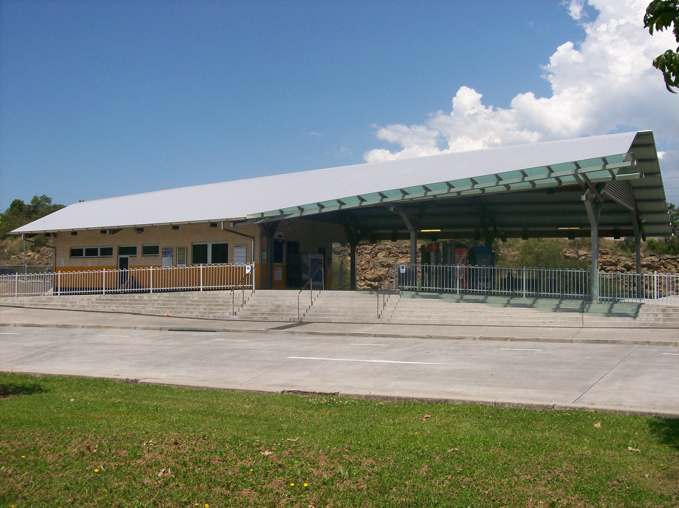
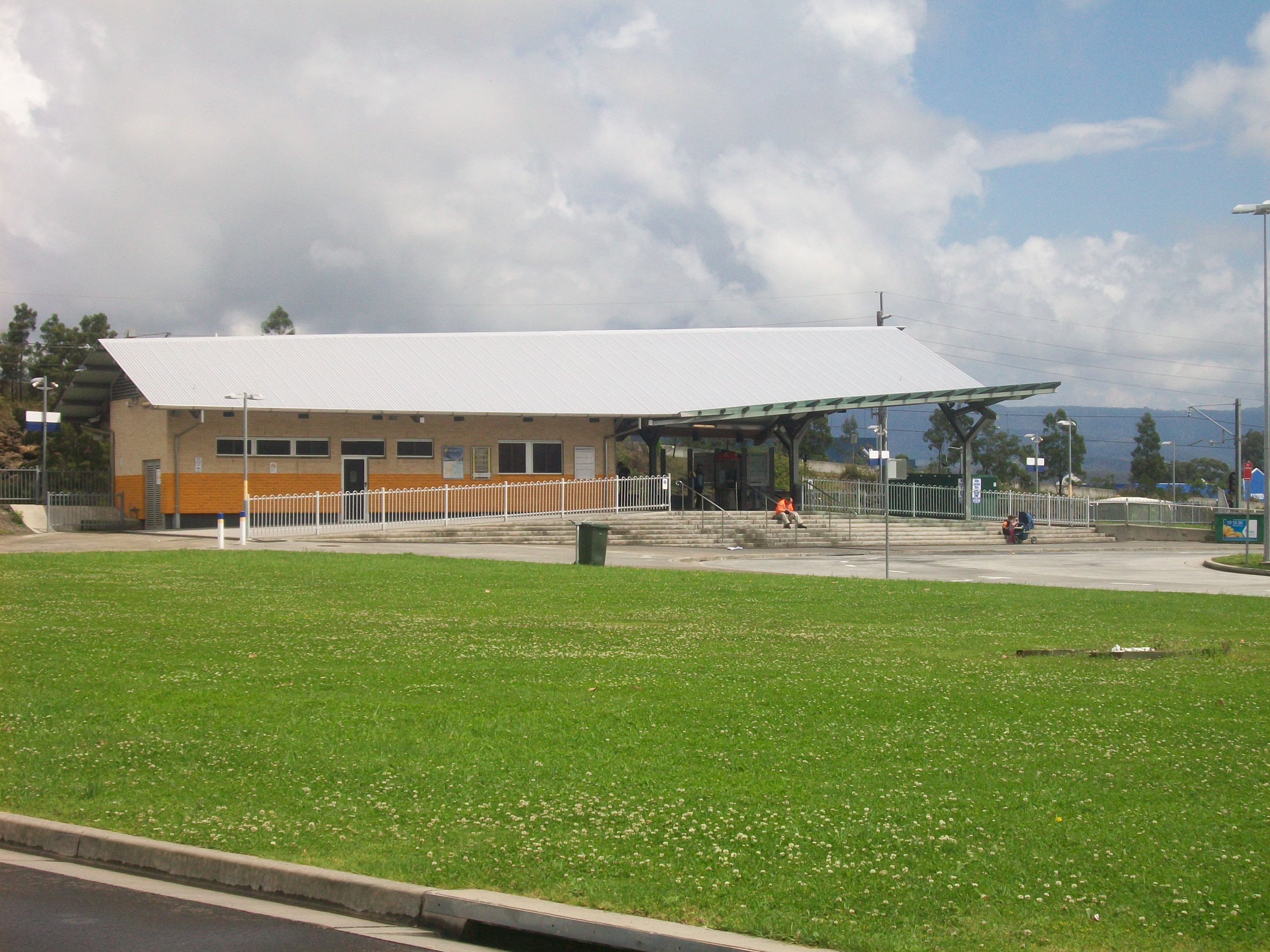
The new station, seen 400m south from the site of the old station.
-
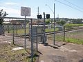
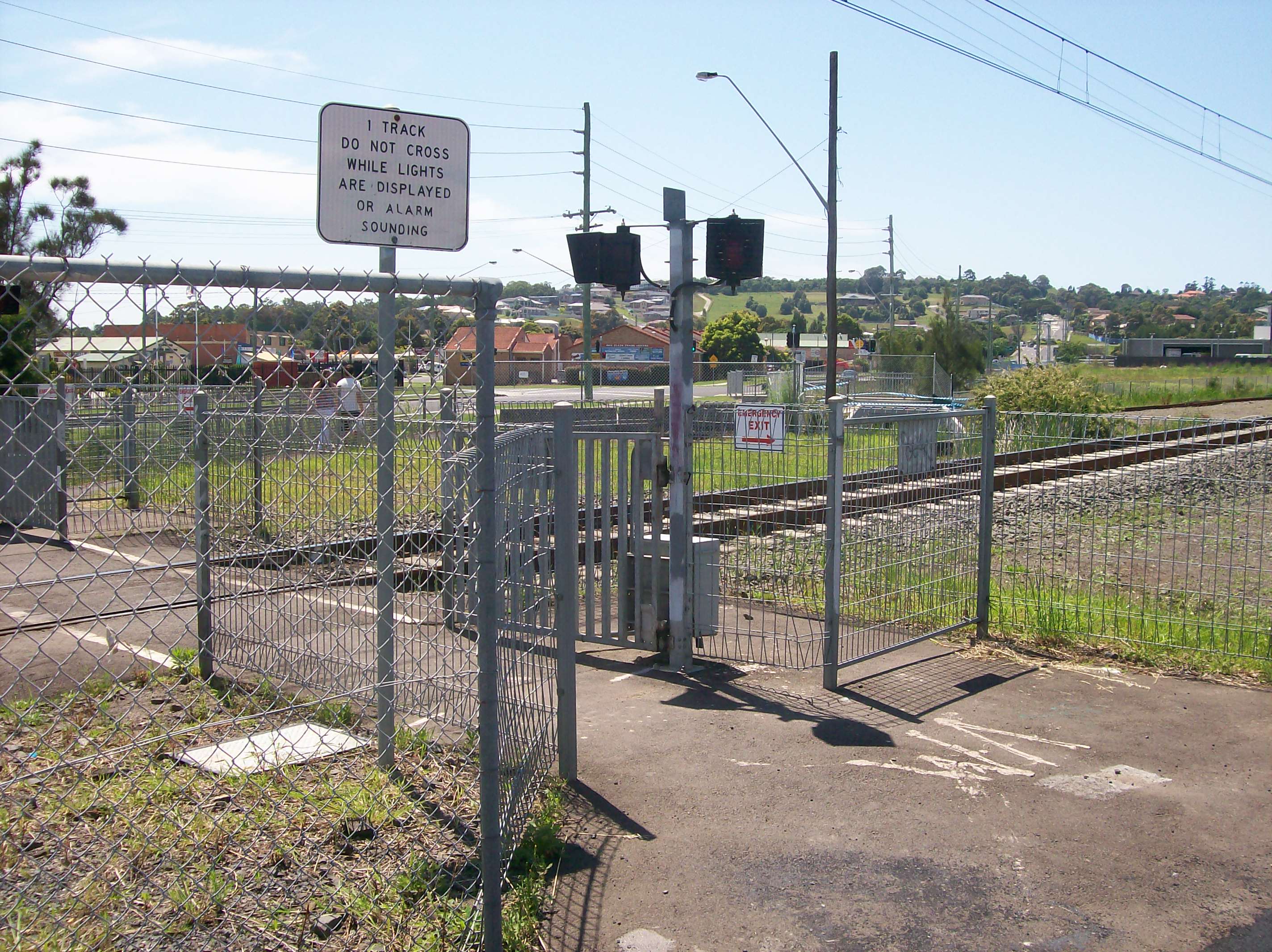
Located adjacent to the old station was a road and level crossing, however it was subsquently closed when the station relocated and there is now only a pedestrian crossing provided.
Platforms and services
Platform Line Stopping Pattern Notes 
South Coast Line Intercity services to Kiama, Dapto, Wollongong and Sydney Terminal.
Peak Intercity services to Bomaderry.Transport links
 Bus stop
Premier Illawarra runs nine routes to and from Oak Flats railway station:
- 37 - Wollongong Loop
- 43 - between Dapto and Port Kembla
- 51 - to University of Wollongong
- 52 - to Wollongong station
- 53 - to University of Wollongong
- 54 - to Wollongong station
- 57 - Wollongong Loop
- 70 - to Shellharbour district
- 76 - to Shellharbour district
Accessibility
Oak Flats has a side platform with near street level access. It therefore has close to Easy Access for wheelchairs.
Image Gallery
-
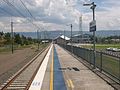
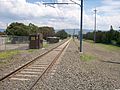
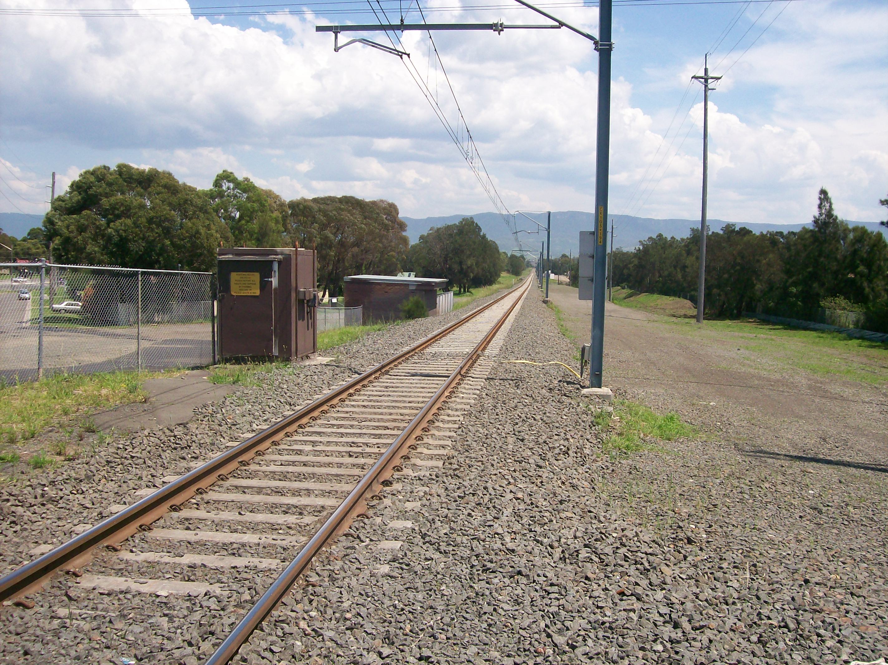
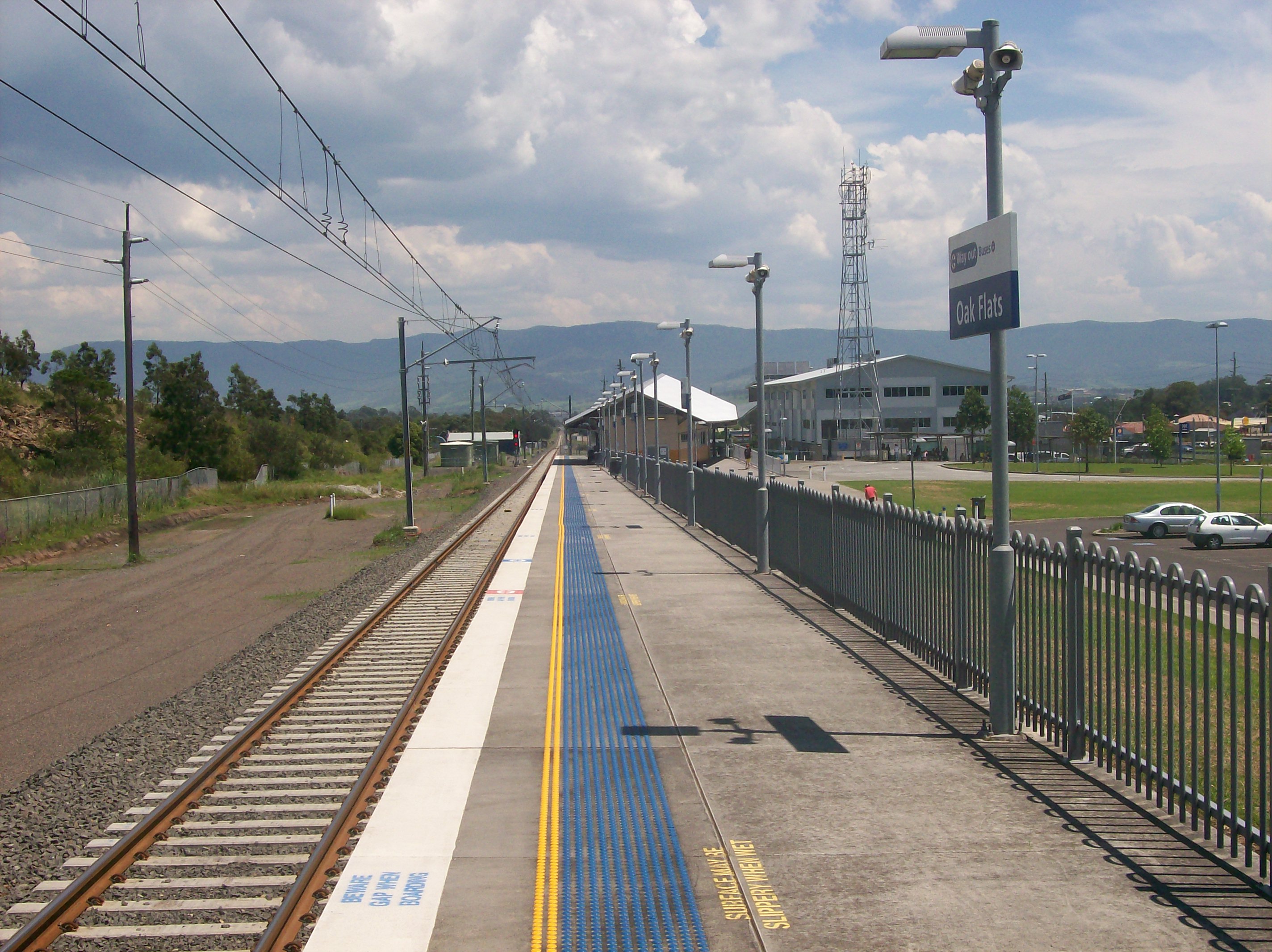
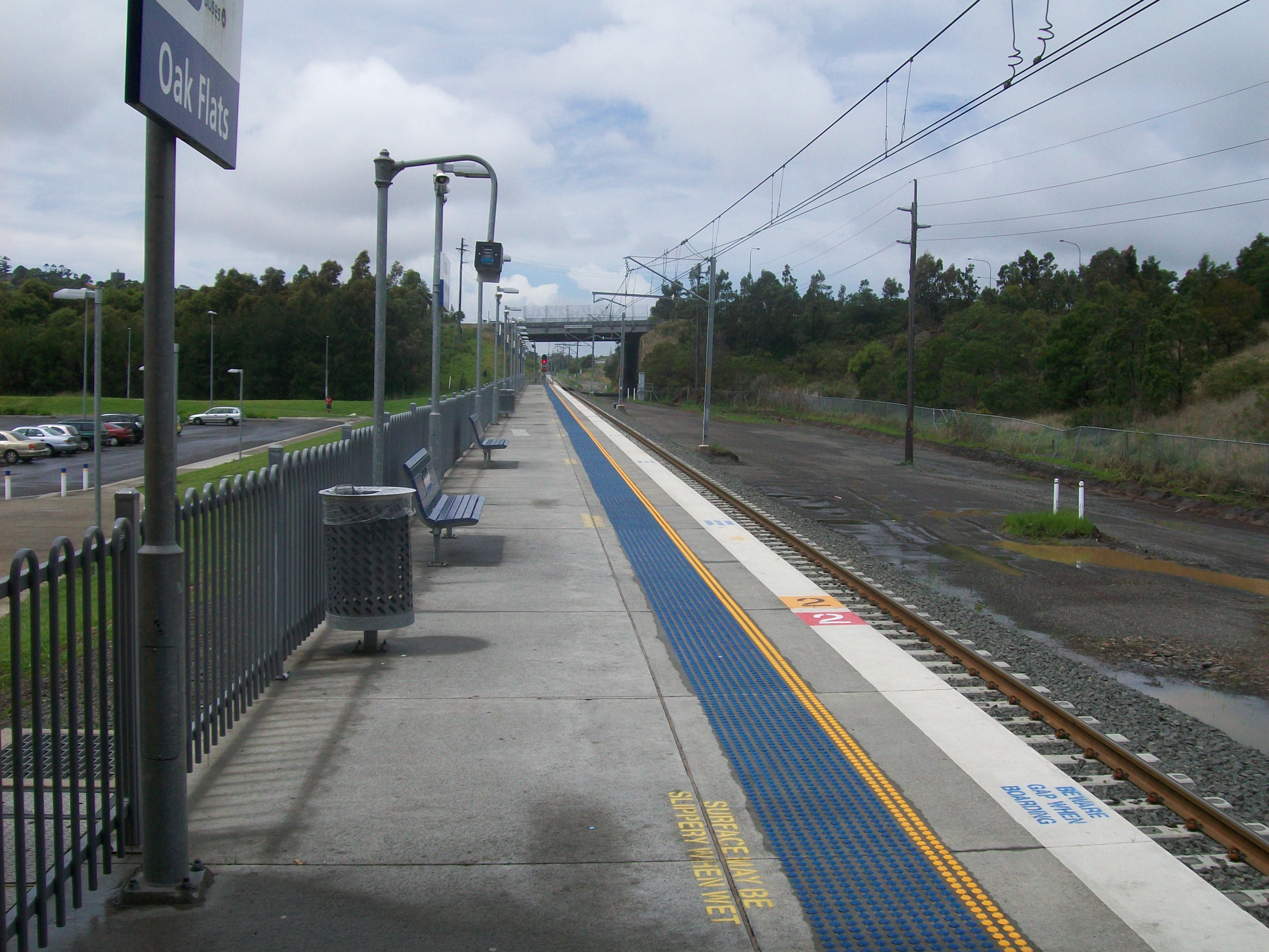
Looking north from the single platform
-

Looking north from the middle of the single platform
-
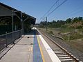
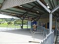
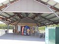
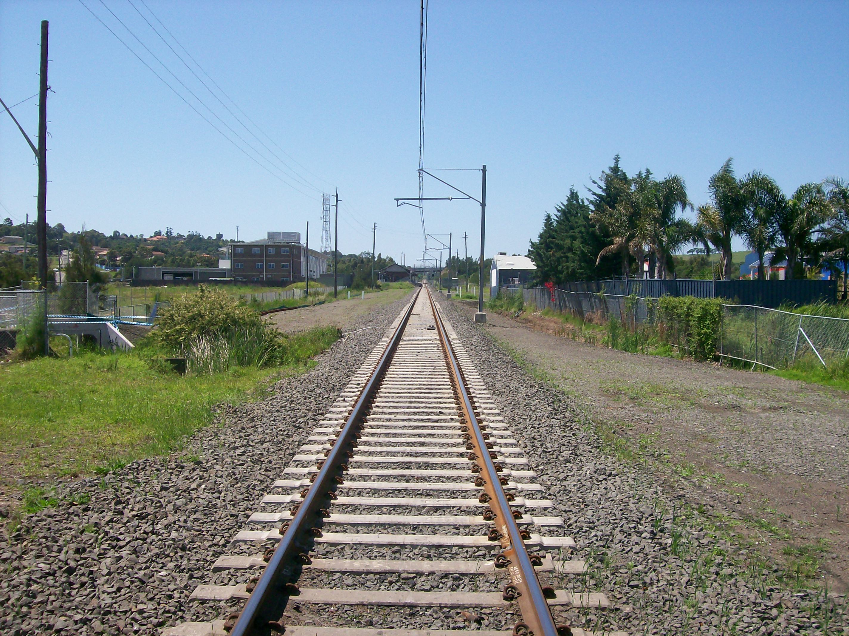
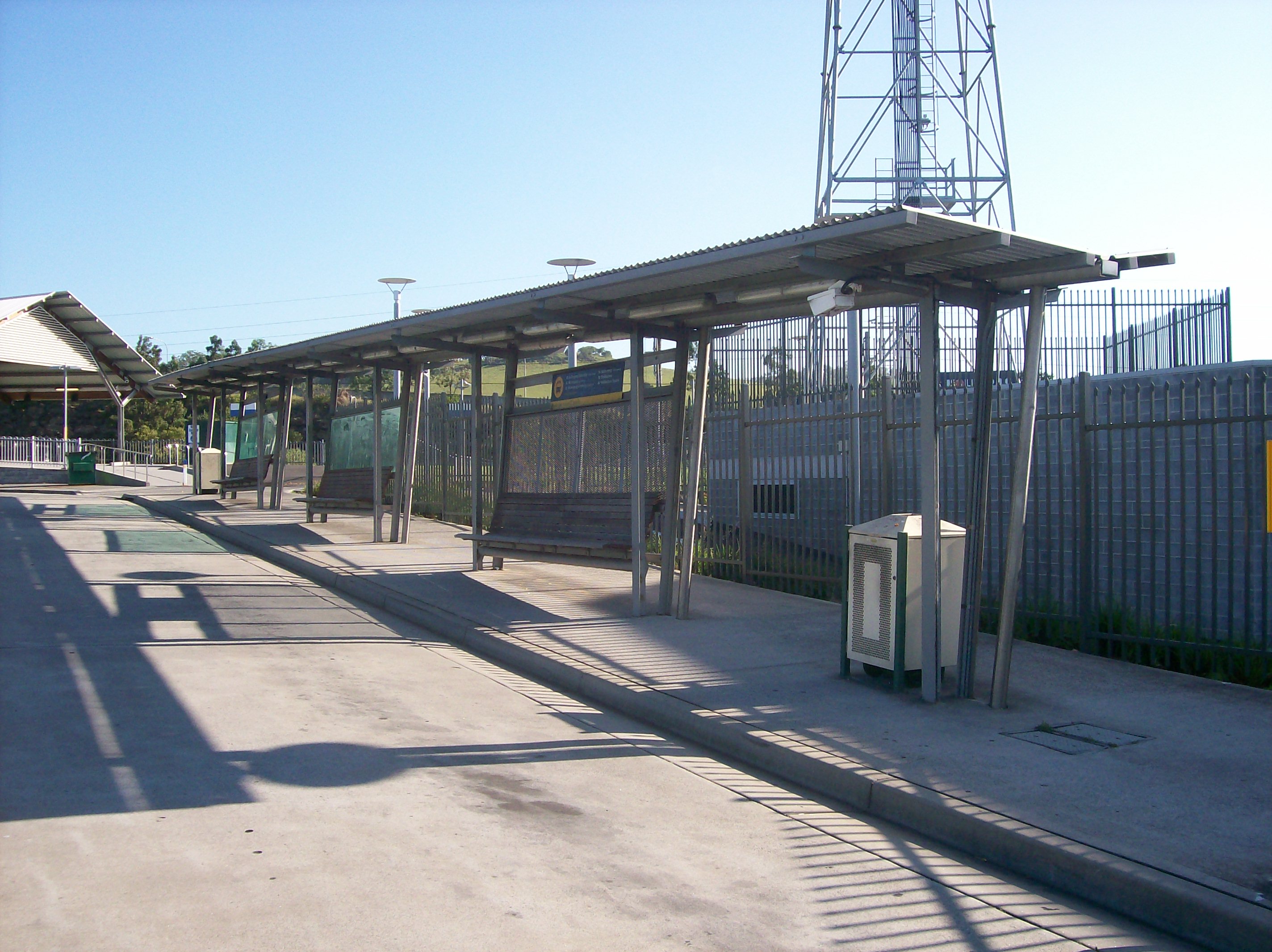
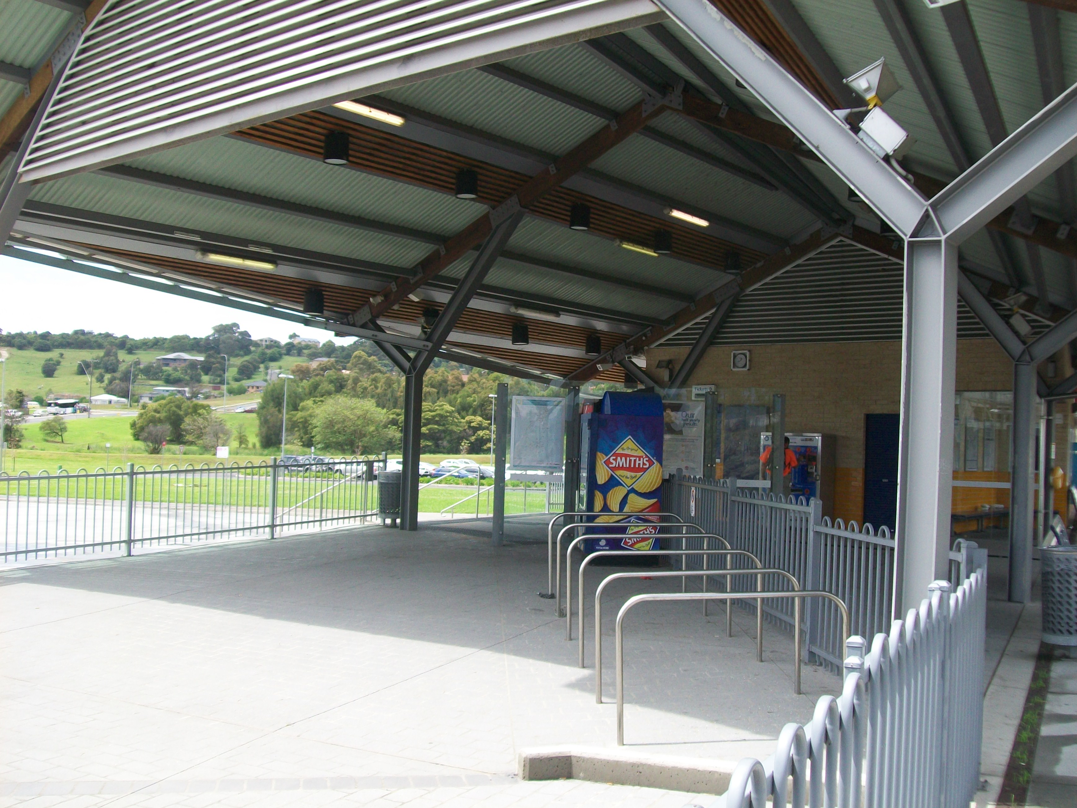
Looking south to the covered area
-
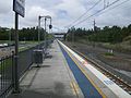
Looking south from the single platform
-
North end of platform
-
Station building seen from entrance road
-
Station building and access ramp
-
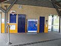
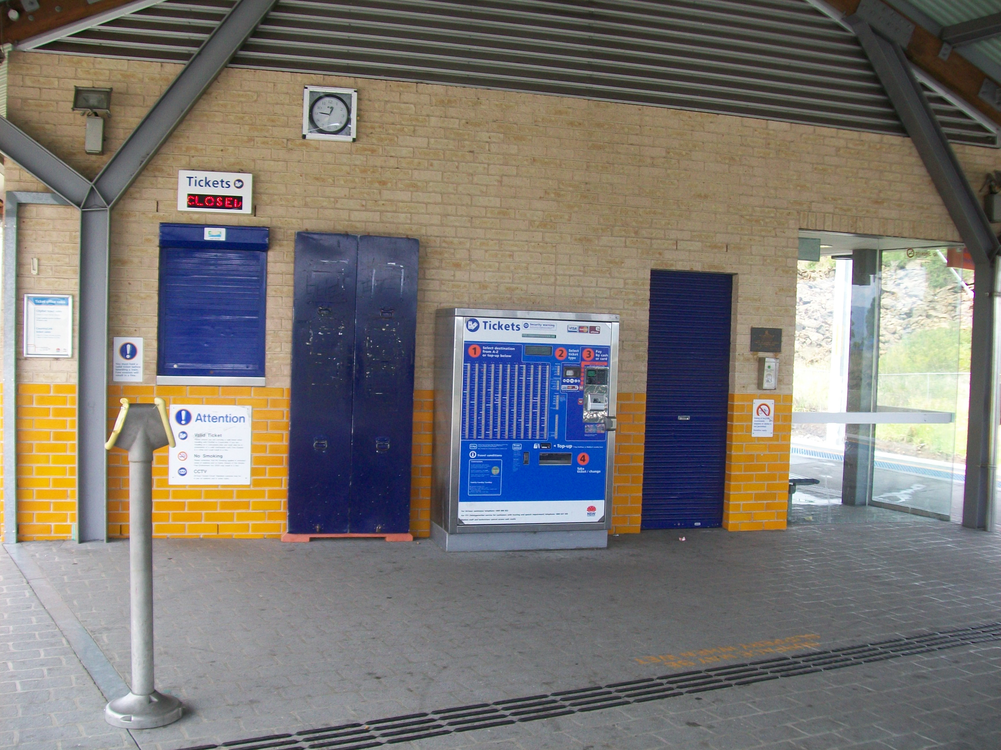
Ticket office
-

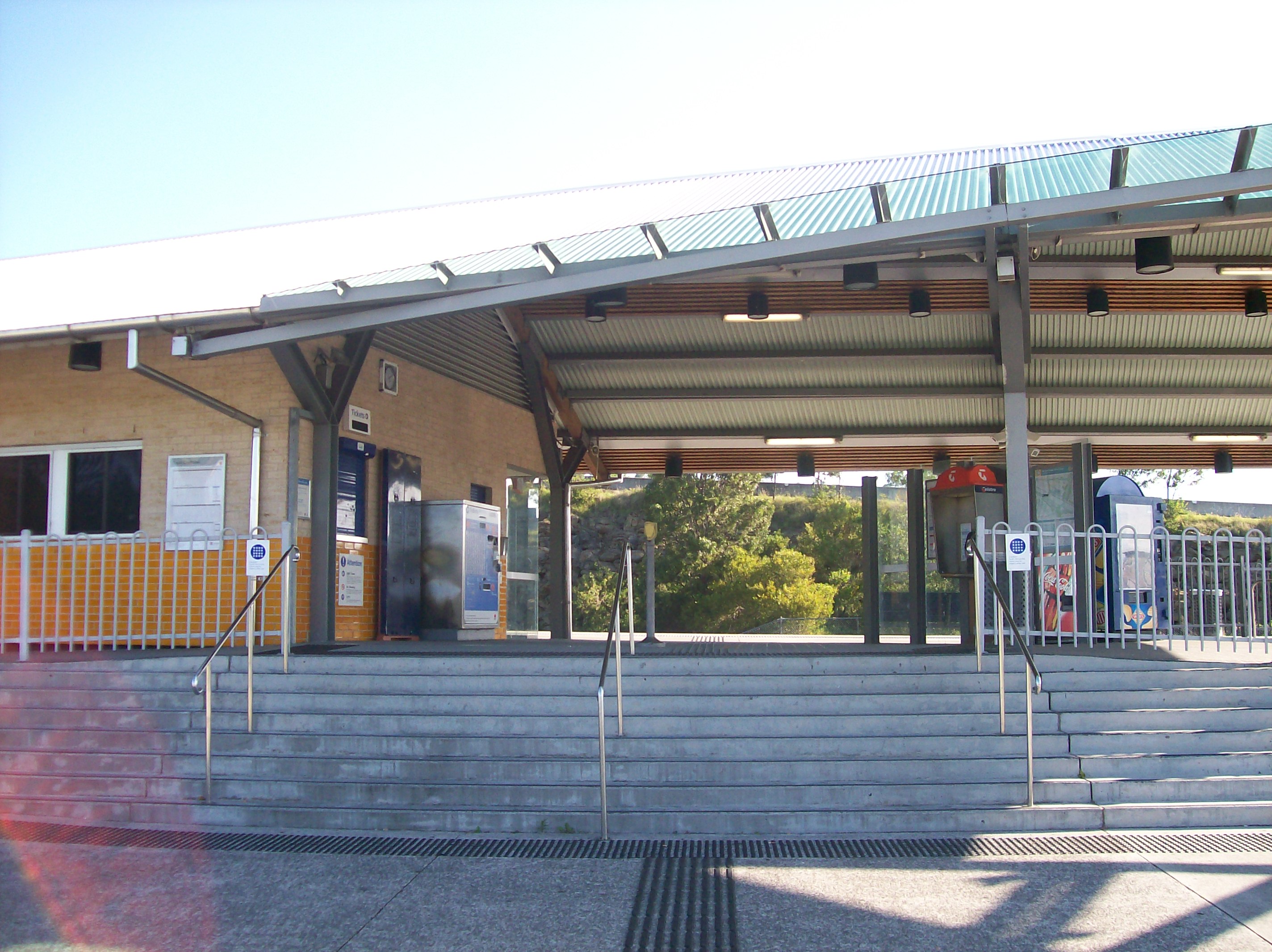
Stairs to entry
-
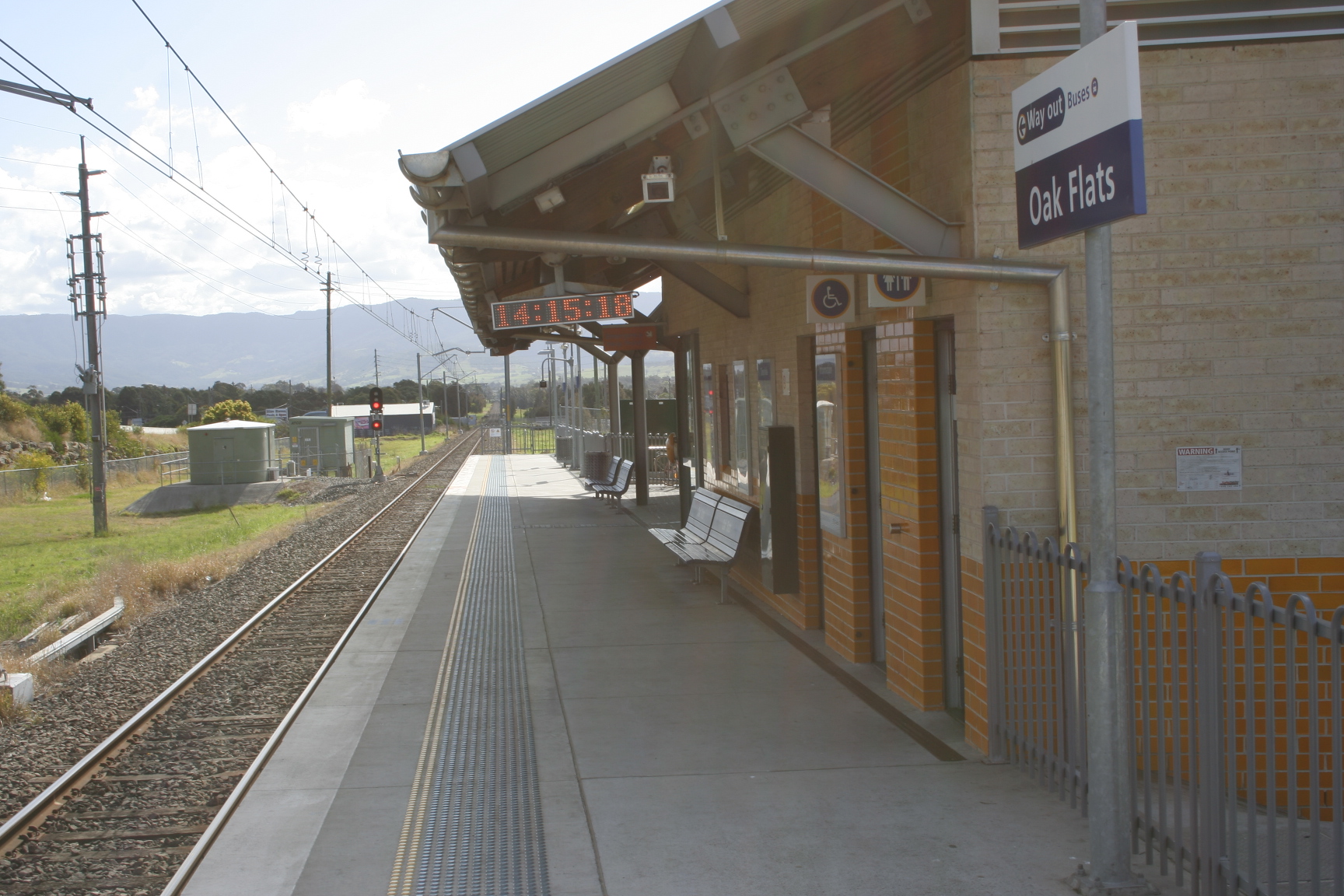
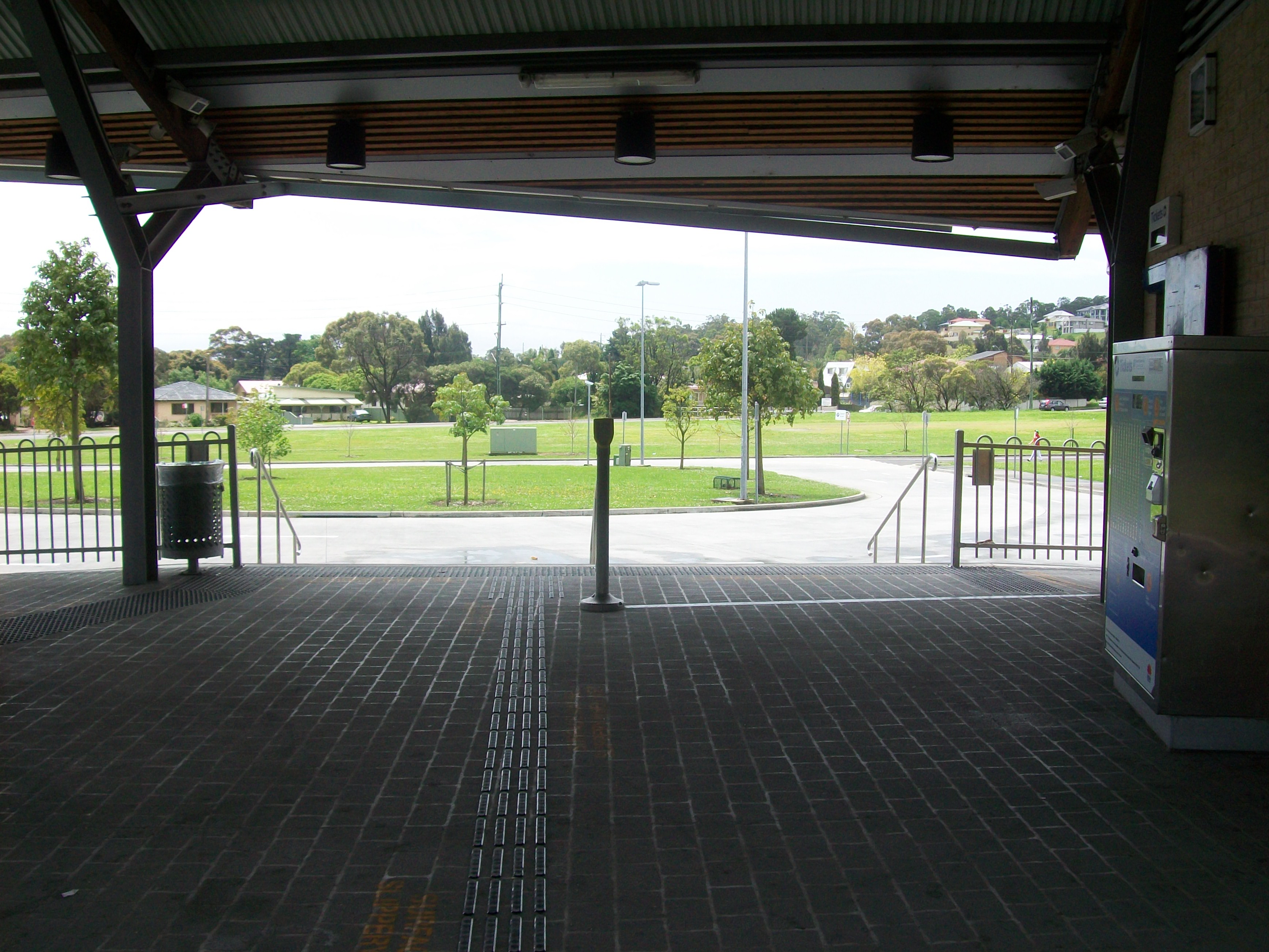
Looking to station entrance from the platform
-

View on exit
-
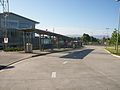
Looking at platform from outside station
-
Bus stop seen on exit
-
The station building, seen from the side
Neighbouring stations
Preceding station CityRail Following station towards Bomaderry (Nowra)South Coast Line towards CentralSee also
- Schofields Railway Station- Another station relocated closeby, on the Western Line
References
- ^ "Oak Flats railway station". www.nswrail.net. http://www.nswrail.net/locations/photo.php?name=NSW:Oak+Flats:1&line=NSW:south+coast:0. Retrieved 2007-06-26.
Coordinates: 34°34′12″S 150°48′58″E / 34.570041°S 150.816159°E
Categories:- Regional railway stations in New South Wales
- Railway stations opened in 1925
- Railway stations opened in 2003
-


Wikimedia Foundation. 2010.