- Coalcliff railway station
-
 Coalcliff
South Coast Line Station code CCF Town Coalcliff Street(s) Lawrence Hargrave Drive Distance from Central Station 59.27 km Altitude (above sea level) ? m Types of stopping trains Intercity Number of platforms 2 Number of tracks 4 Platform arrangement 1 Island Type of station Ground Ticket barriers No Transfers available Bus Disabled access 
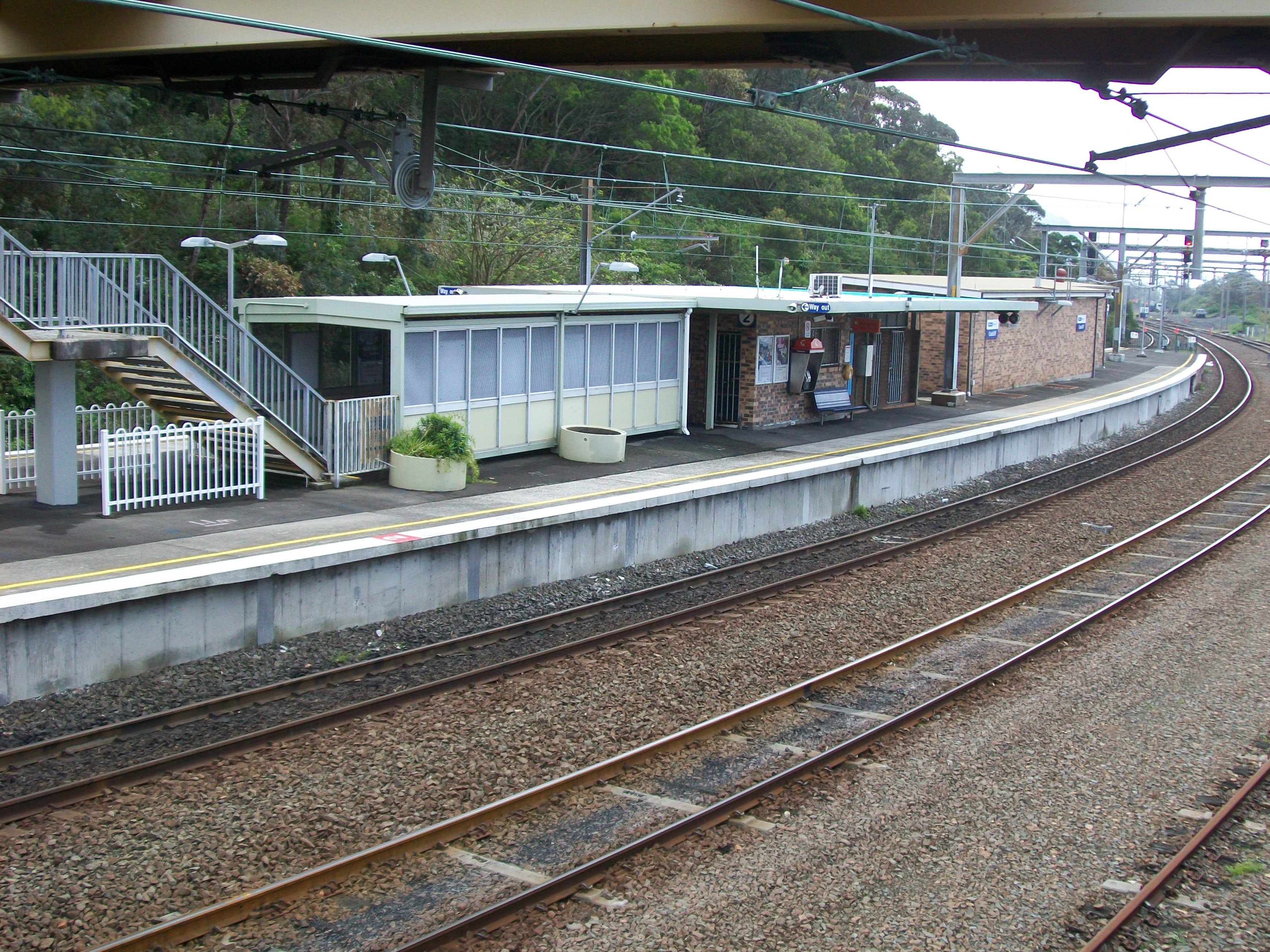
No Station facilities Link Coalcliff (also sometimes mistakenly called Coal Cliff) is a railway station on the South Coast Line of the CityRail interurban network, serving the town of Coalcliff, a small mining town on the northern Illawarra escarpment. There are sidings next to the station serving the local coal mine and coal yards.
The station has an island platform, and is served by roughly one train every two hours during the off-peak, with more trains during peak hours.
Platforms and services
Platform Line Stopping Pattern Notes 
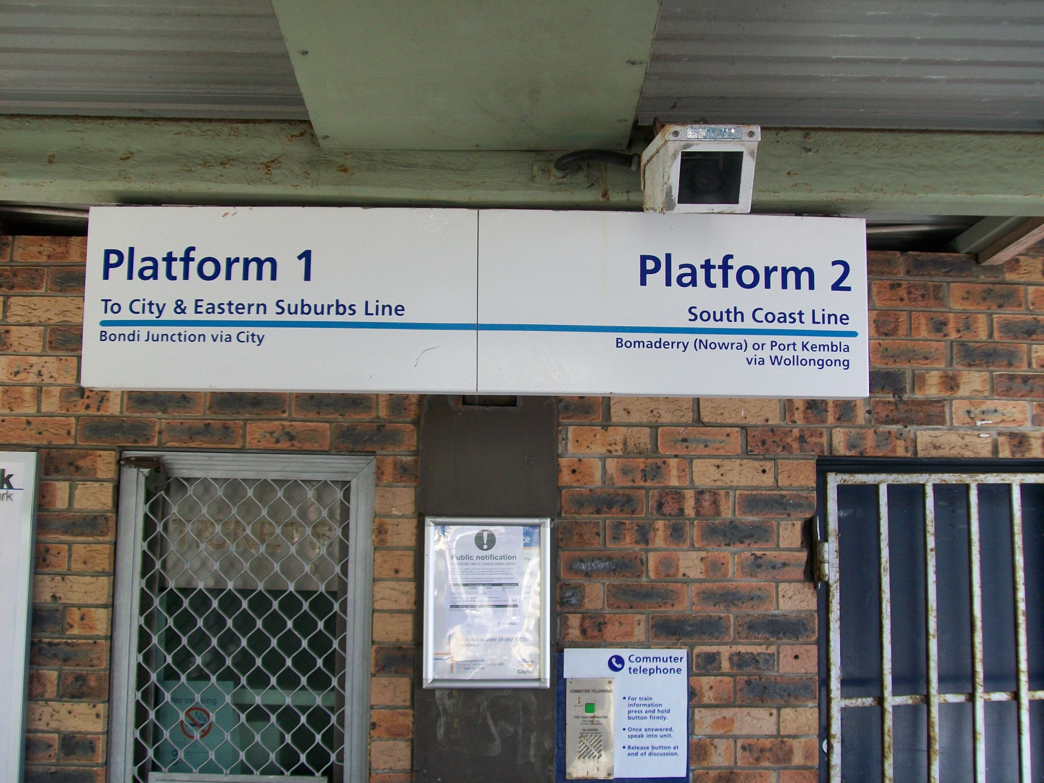
South Coast Line intercity services to Helensburgh, Waterfall and Sydney Terminal peak hour intercity services to Bondi Junction 
South Coast Line intercity services to Thirroul, Wollongong, Port Kembla, Dapto and Kiama via Wollongong Image Gallery
-
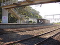
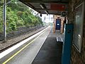
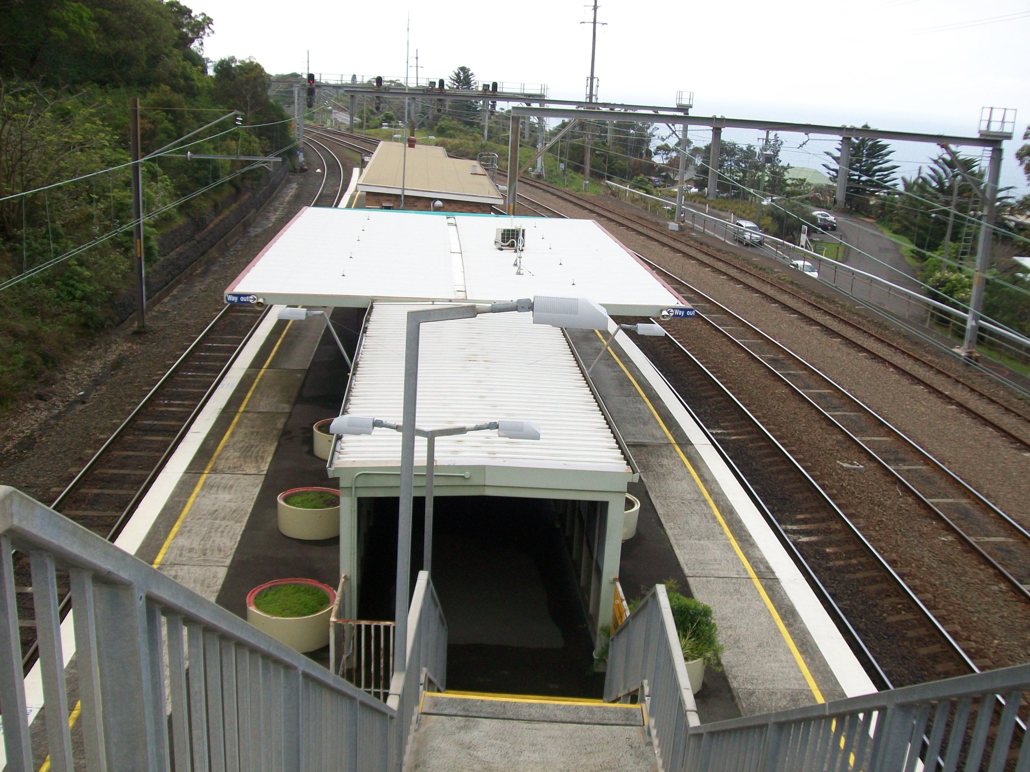
Looking at platforms and the overhead footbridge
-
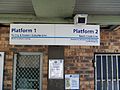
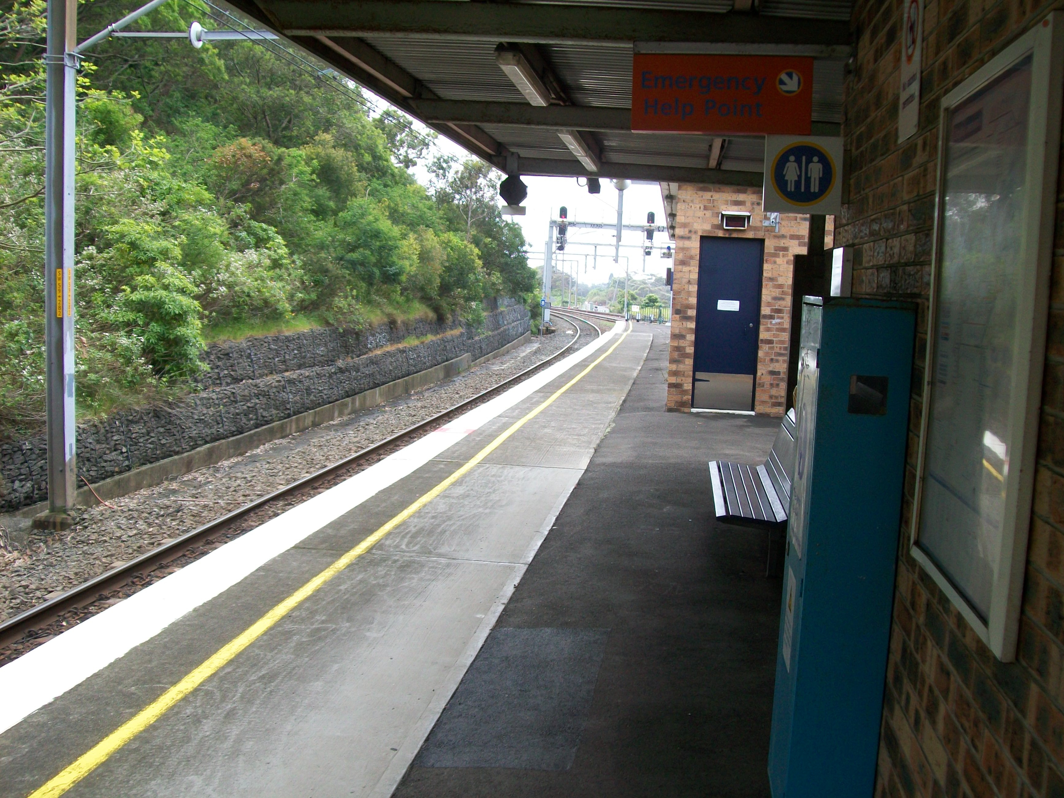
Platform information signage
-
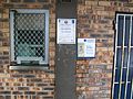
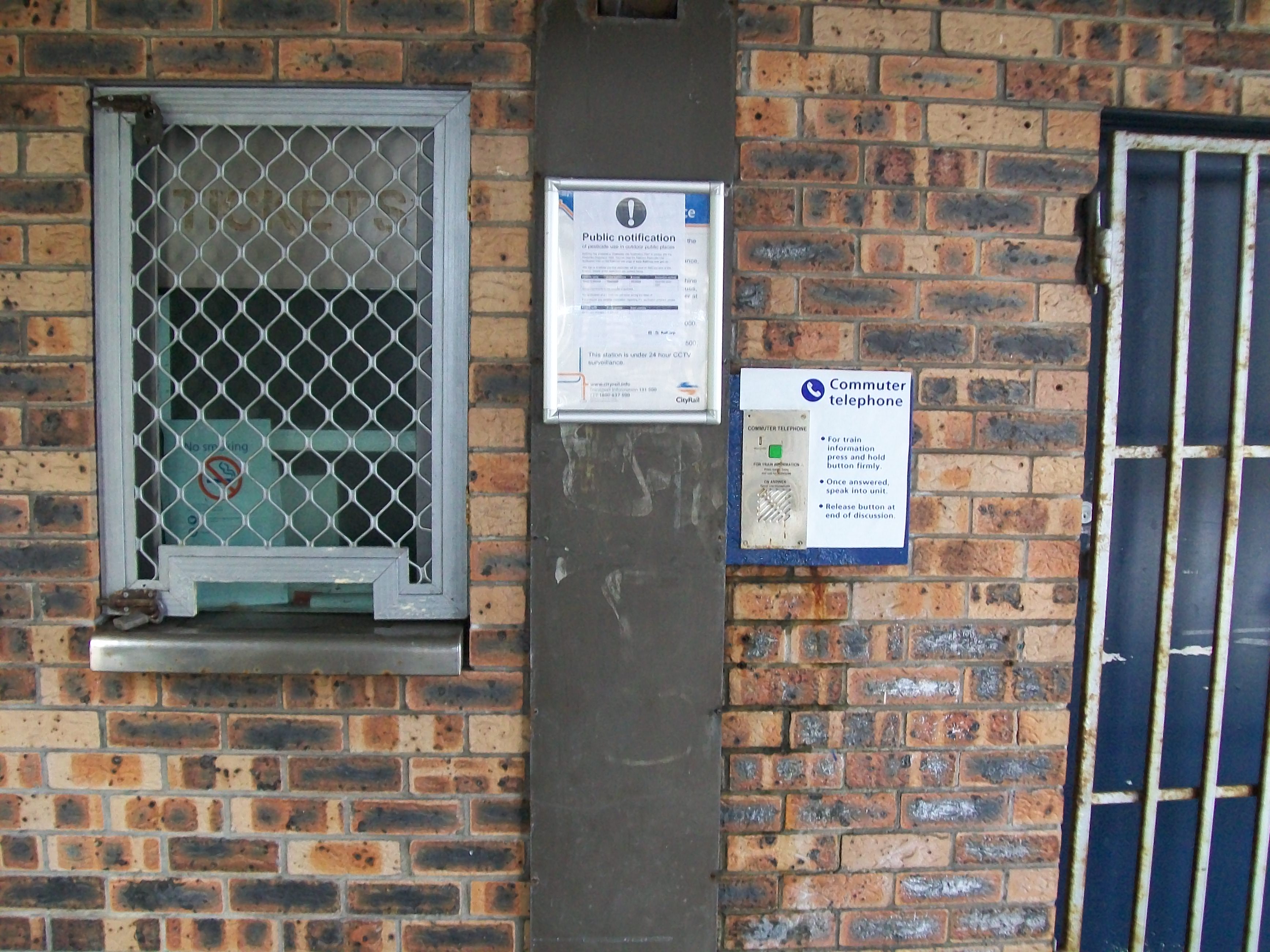
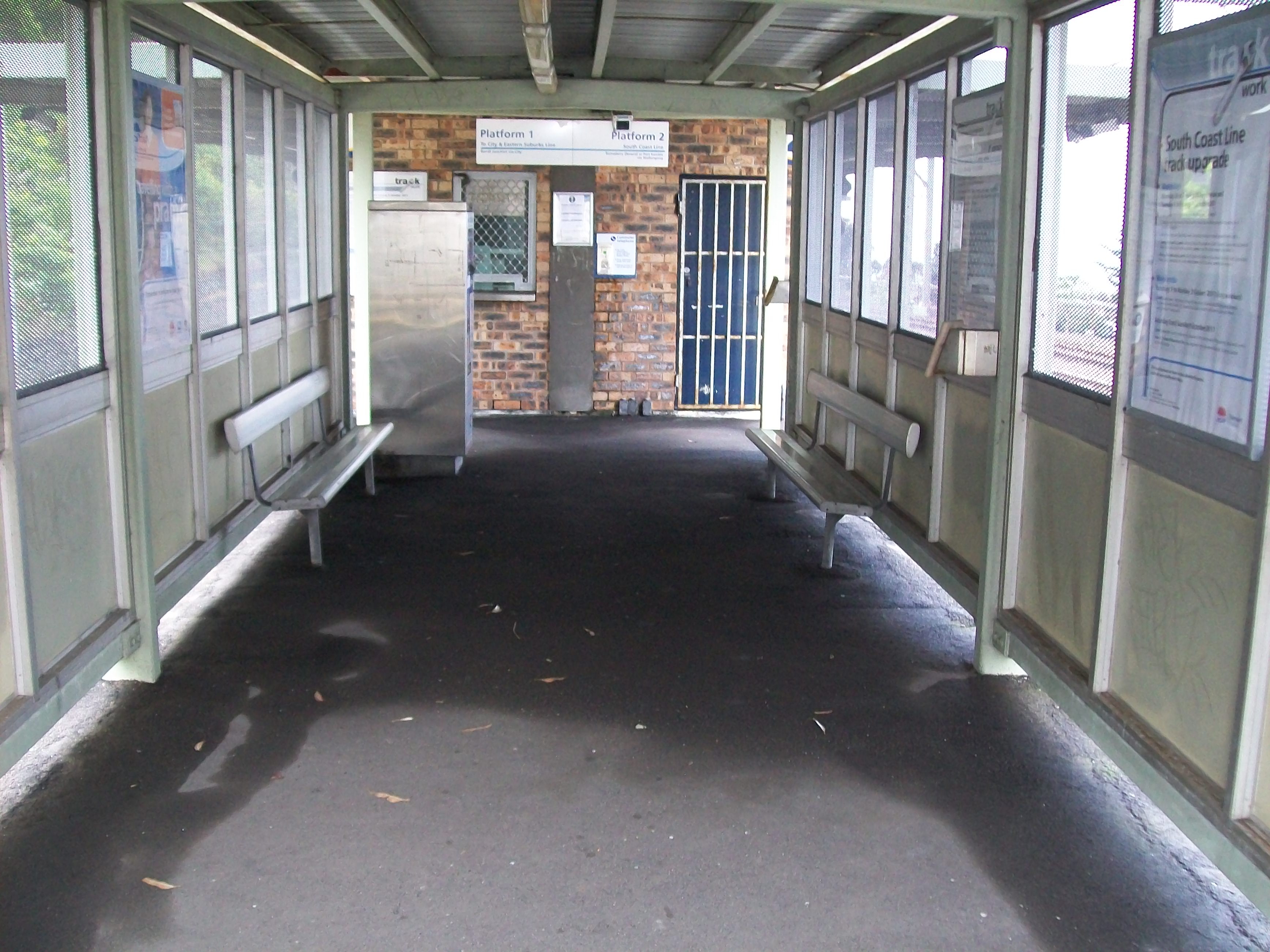
Ticket office that was used prior to station becoming unattended
-
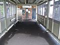
Entrance to station at bottom of stairs
-
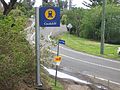
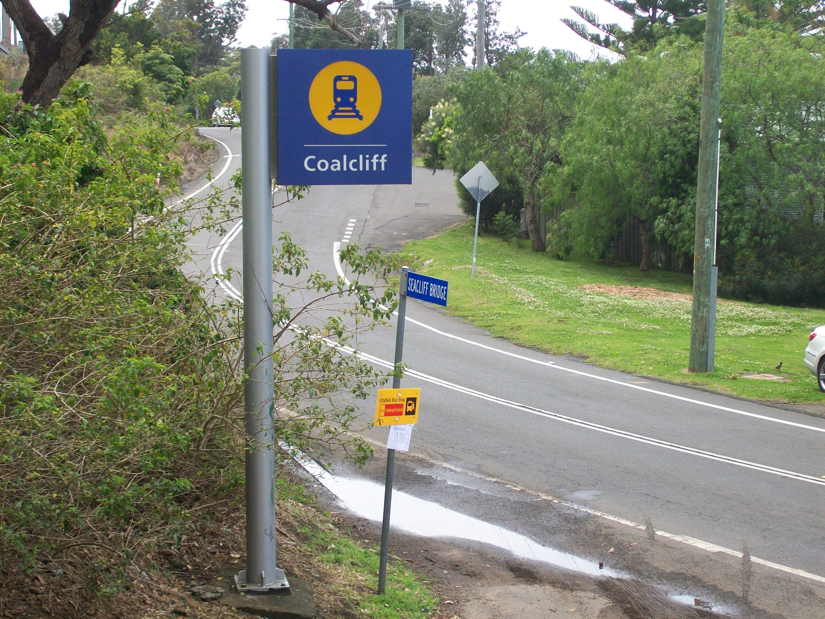
Sign outside the station
-

Stairs leading down to the station
-
Platform 1
-
Platform 2
-
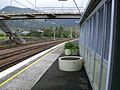
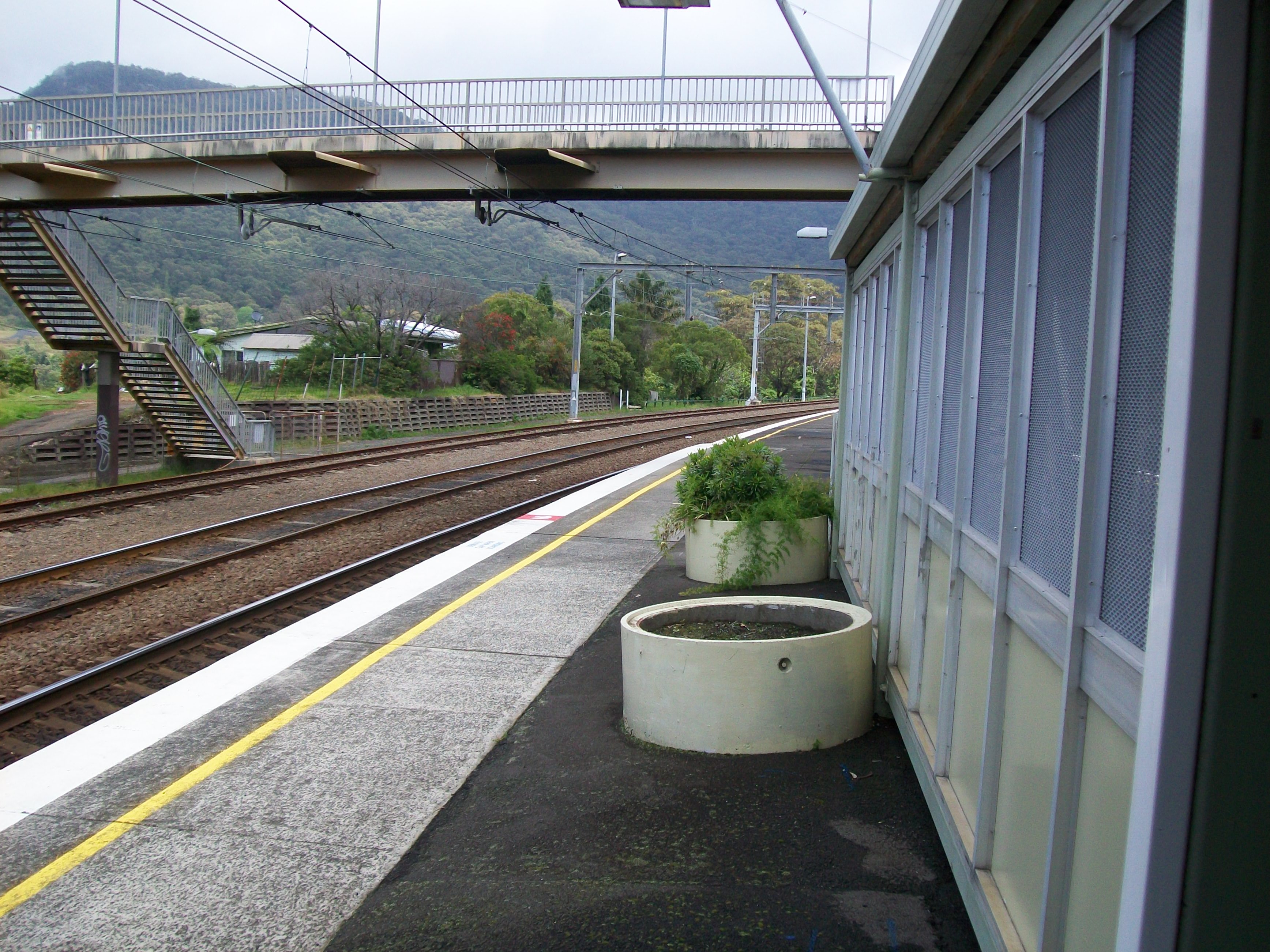
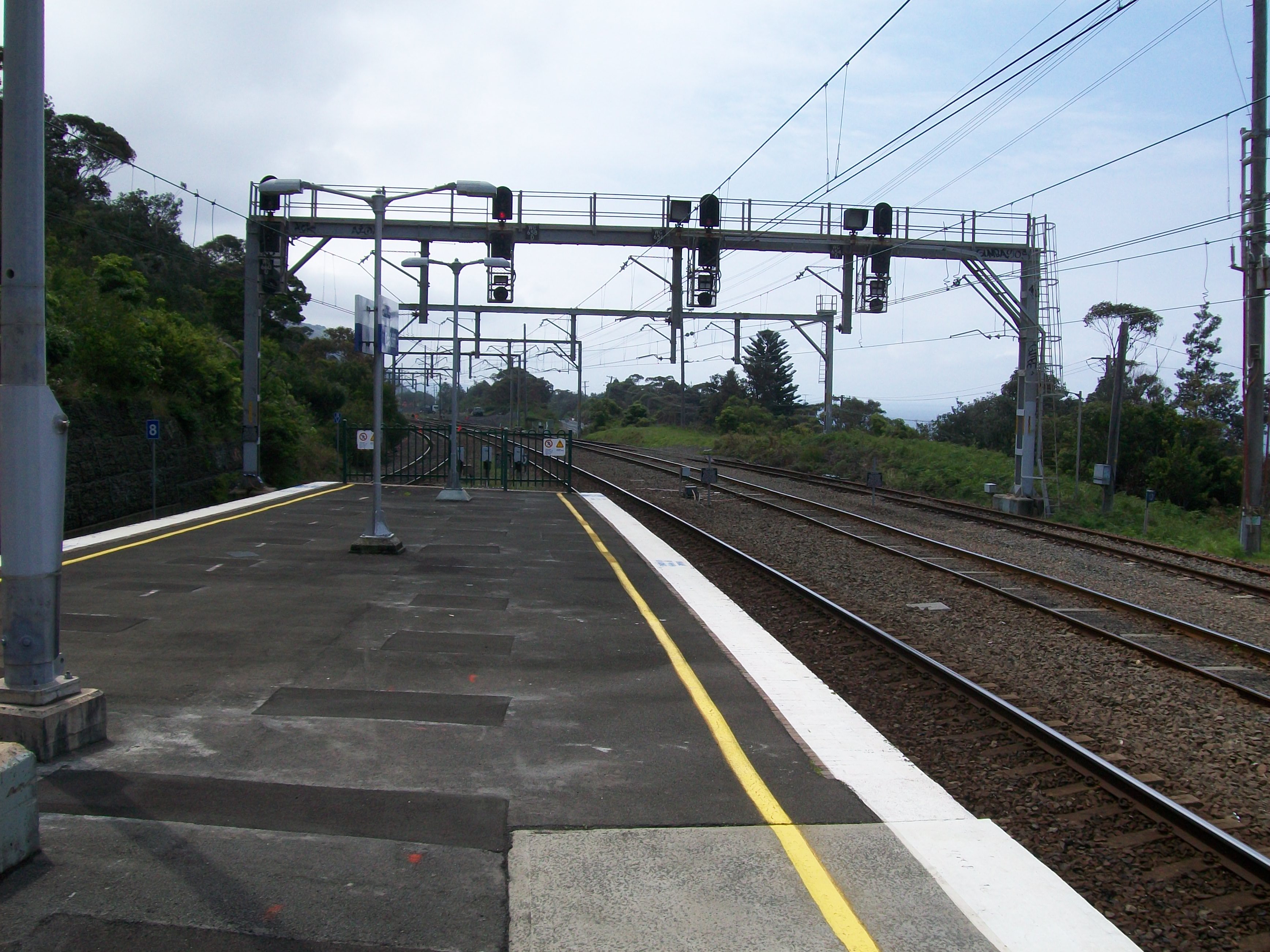
Looking north at end of platforms
-

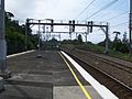
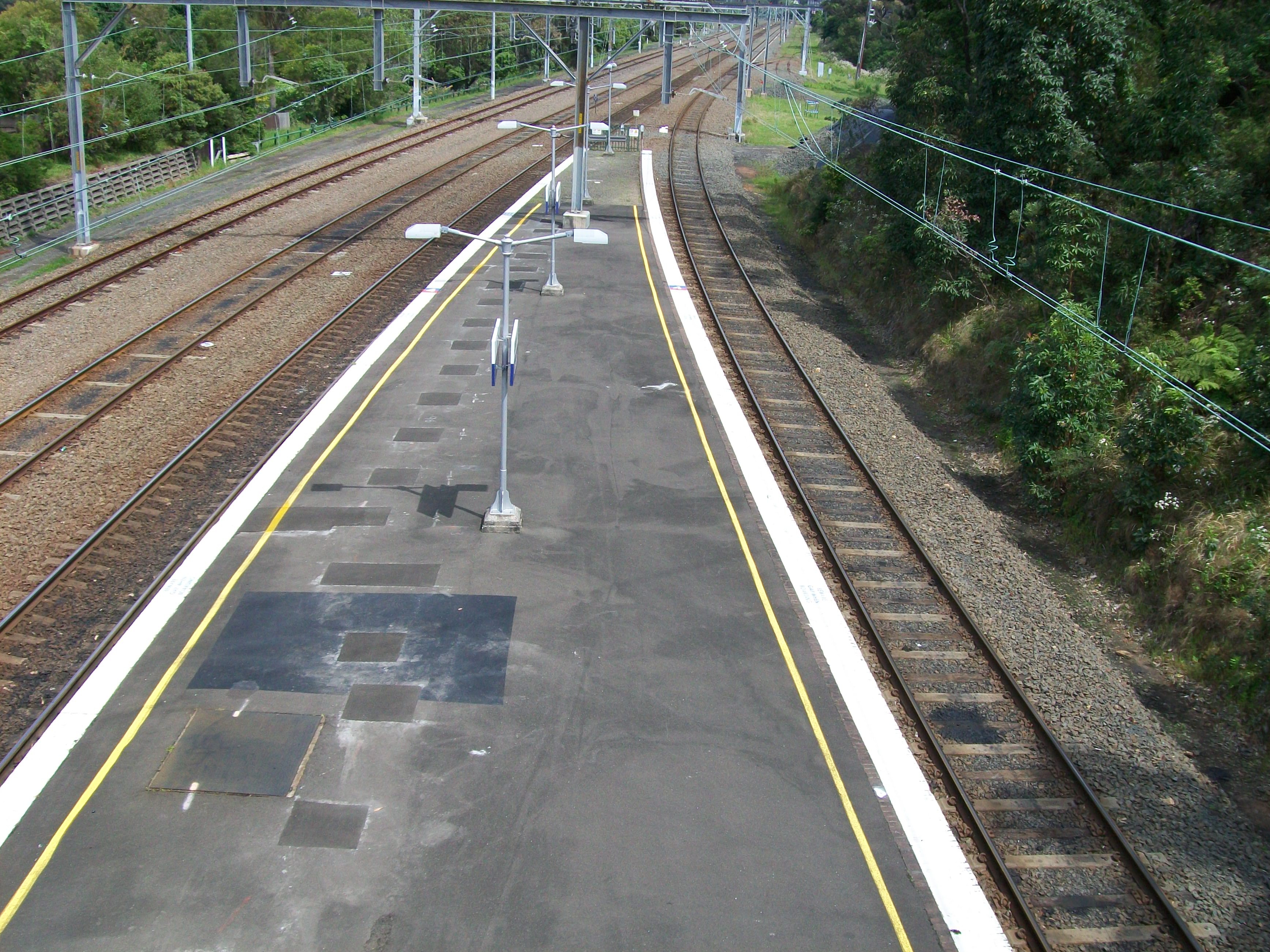
Looking south at end of platforms
Neighbouring stations
Preceding station CityRail Following station towards Bomaderry (Nowra) or Port KemblaSouth Coast Line towards CentralCoordinates: 34°14′31″S 150°58′38″E / 34.241856°S 150.977318°E
Categories:- Regional railway stations in New South Wales
- Railway stations opened in 1920
- New South Wales rail transport stubs
-


Wikimedia Foundation. 2010.