- North Wollongong railway station
-
 North Wollongong
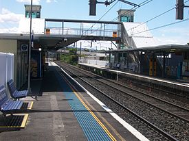
South Coast Line Station code NHW Suburb North Wollongong
GwynnevilleStreet(s) Porter Street Distance from Central Station 81.32 km Altitude (above sea level) 10 m Types of stopping trains Intercity Number of platforms 2 Number of tracks 2 Platform arrangement 2 Side Type of station Ground Ticket barriers No Transfers available Bus Disabled access 
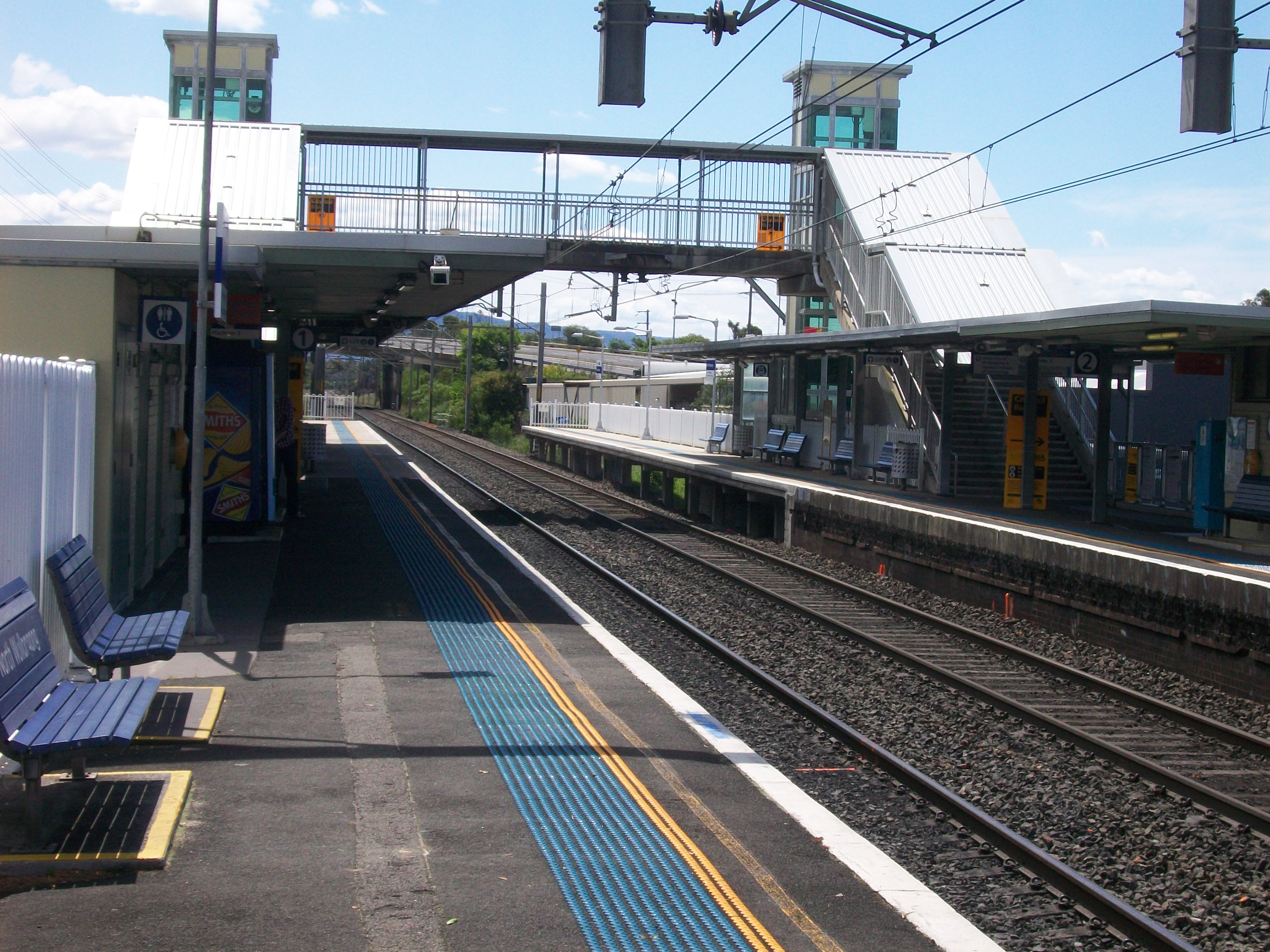
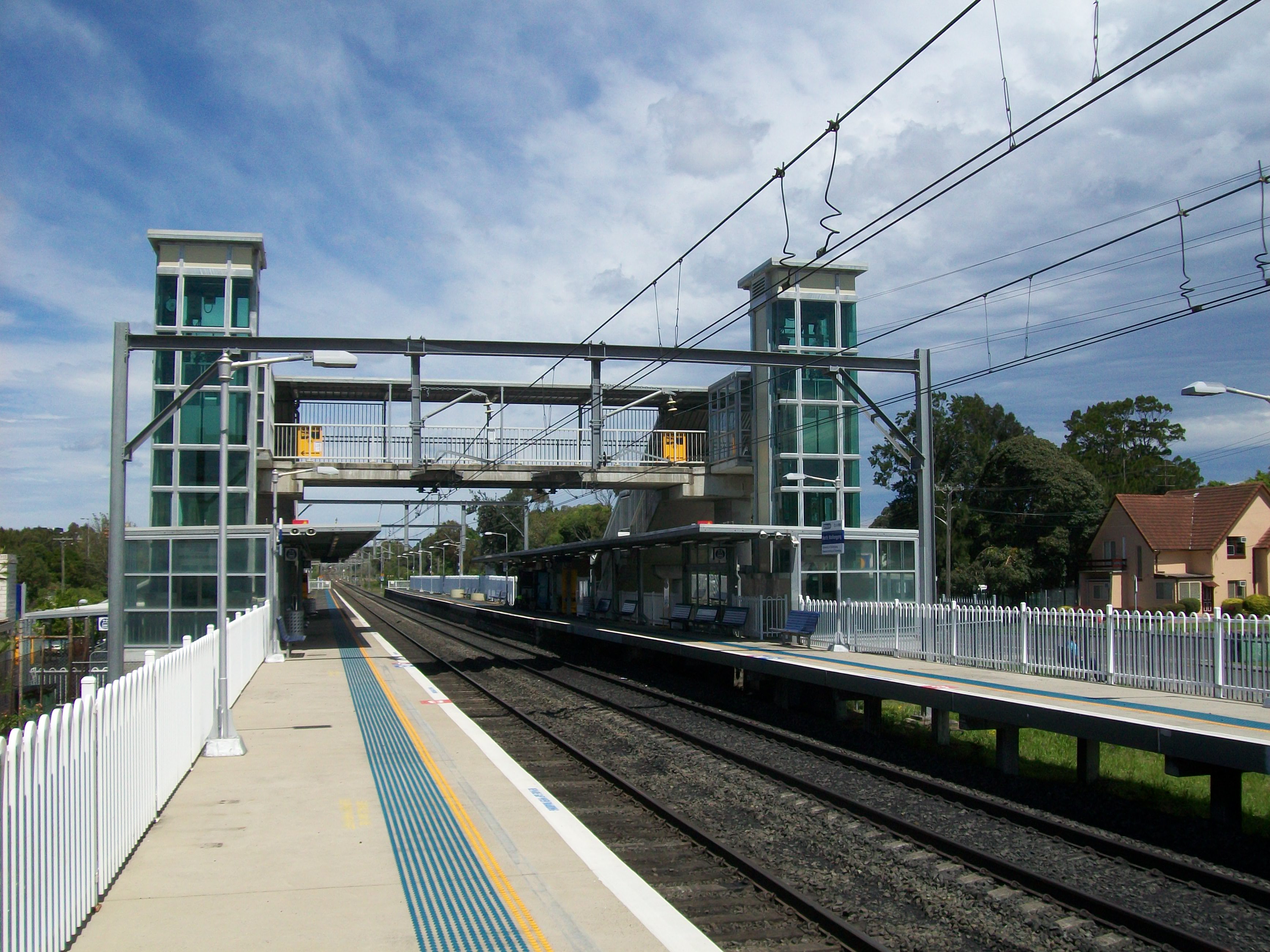
Yes Station facilities Link North Wollongong is a railway station on the South Coast Line of the CityRail outer suburban network, serving the suburb of North Wollongong. The station consists of two side platforms. It receives, on average, two services per hour on weekdays (with more services during peak hours) and one per hour on weekends.
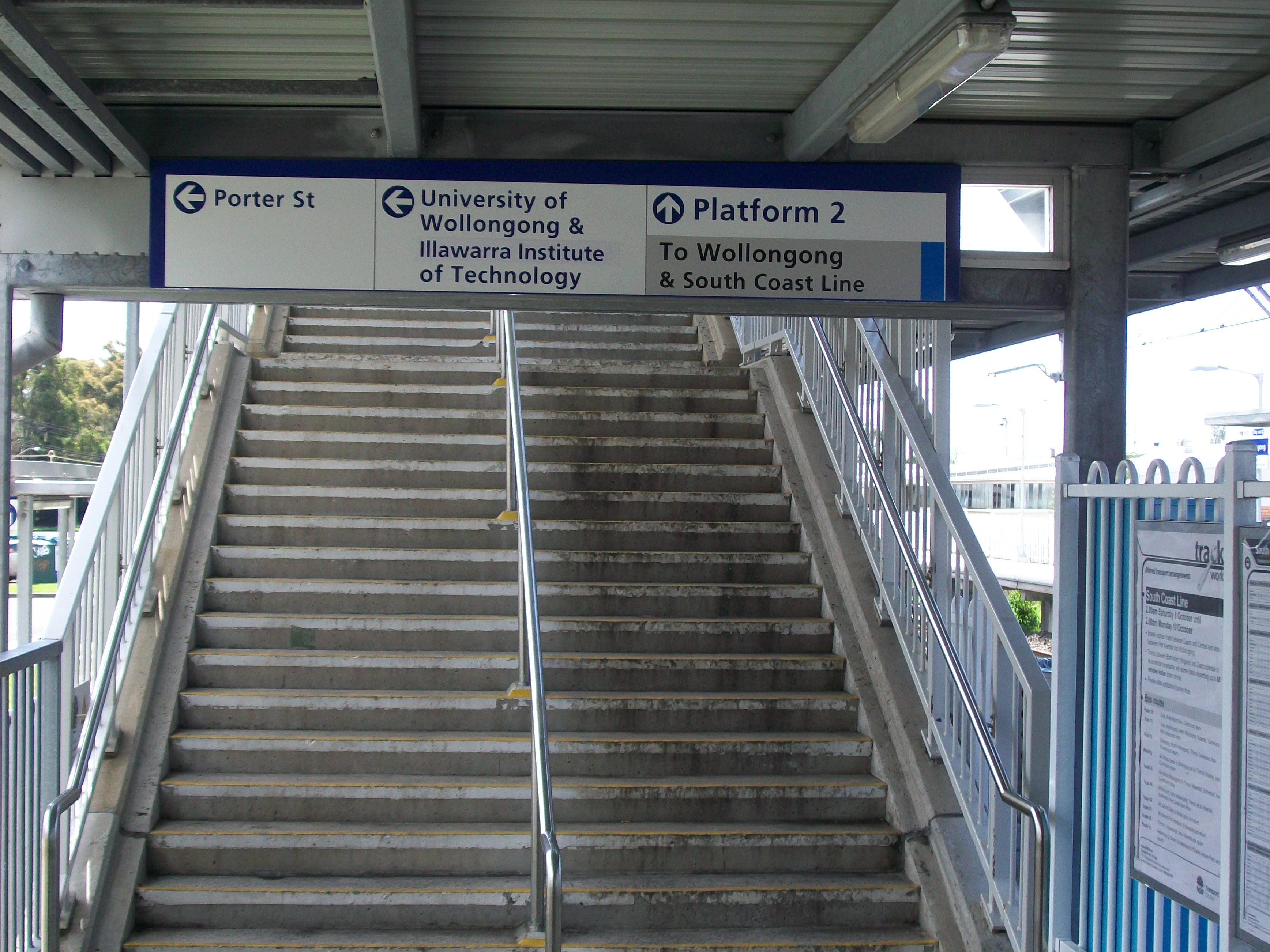
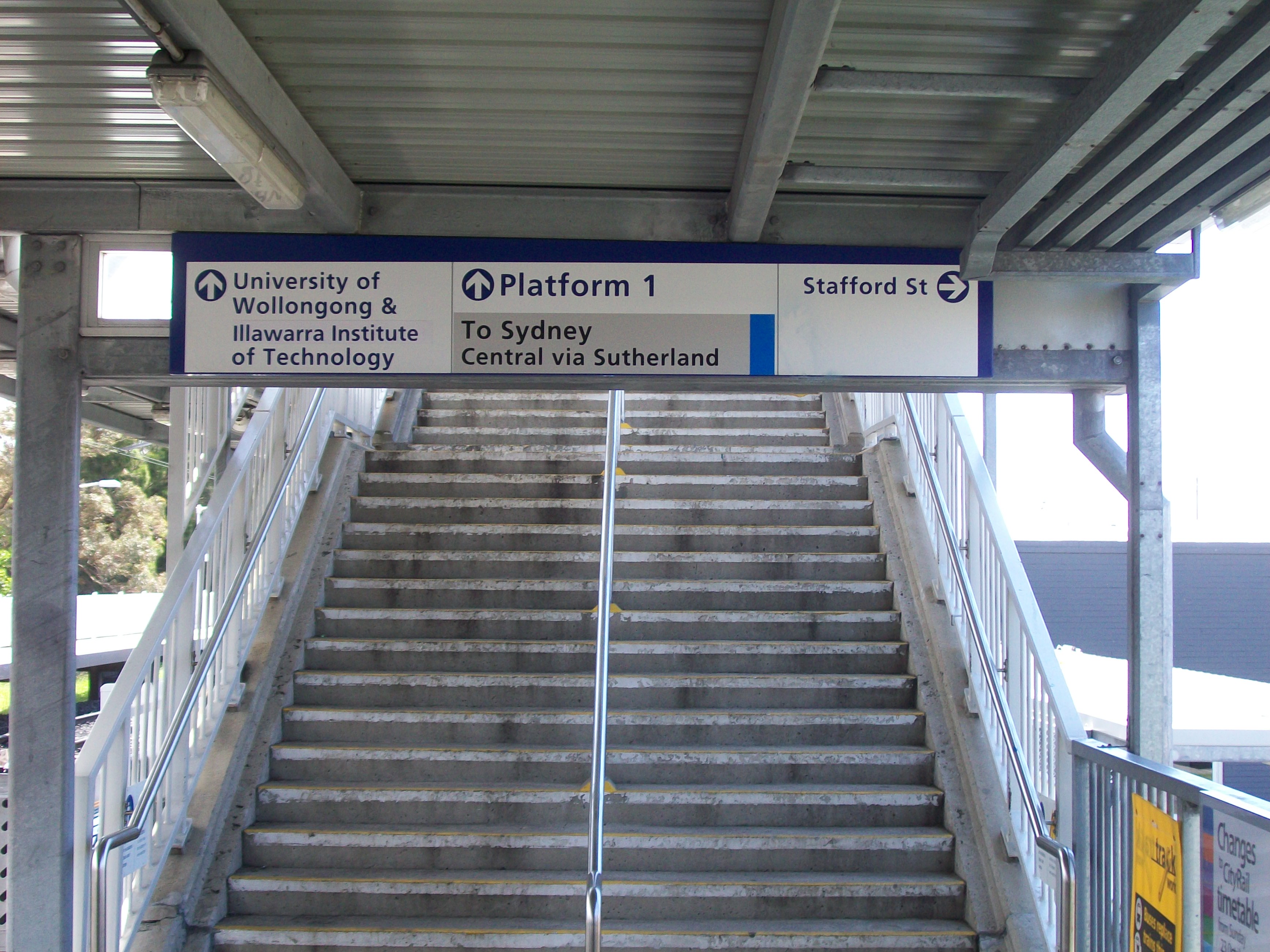
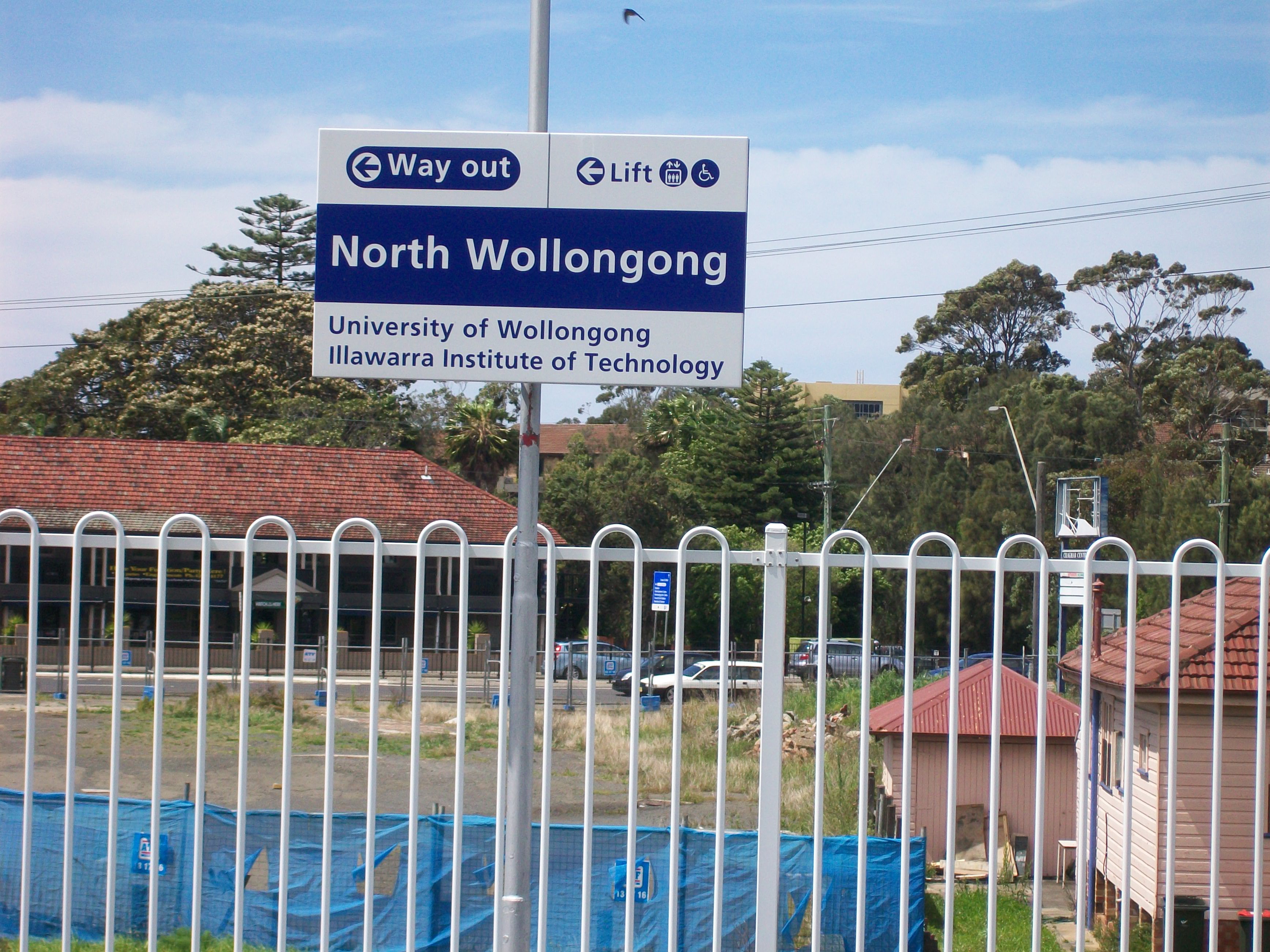
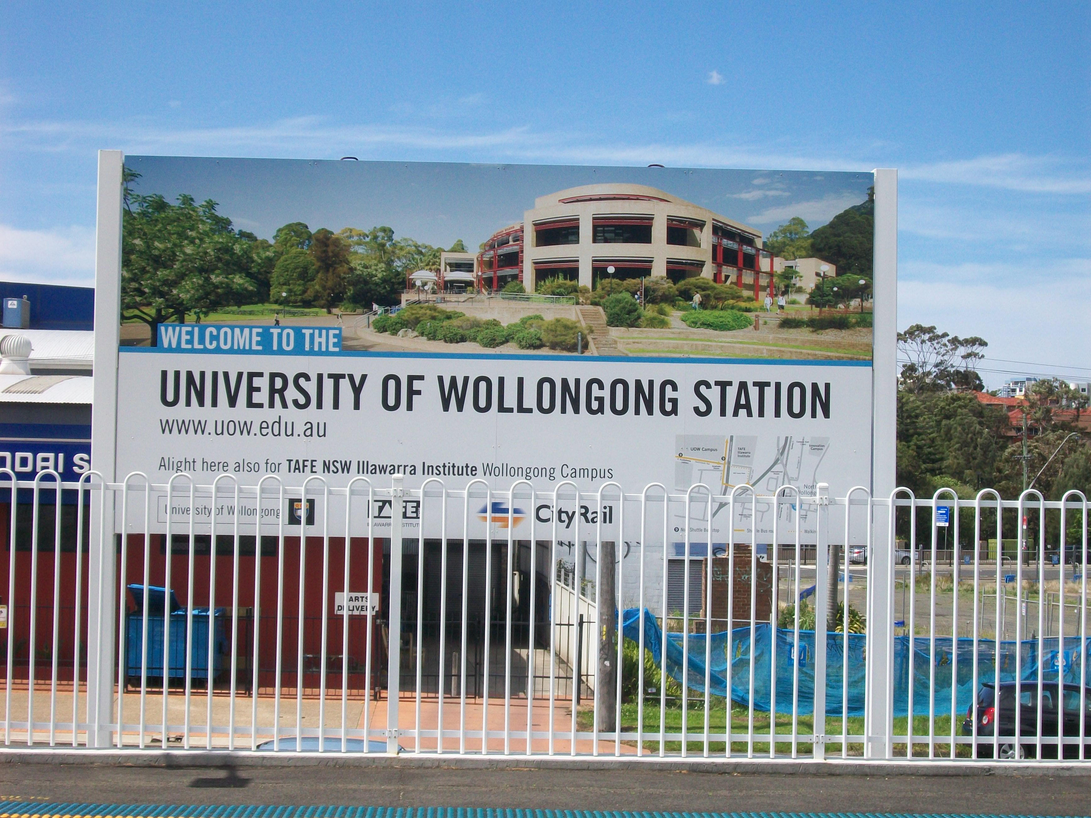
The station is unofficially also identified on its platforms as the University of Wollongong station, due to the proximity of the university to the station. Many signs at the station did contain a spelling mistake, erroneously referring to the nearby Illawarra Institute of Technology as an "Insitute". This signage was corrected during trackwork in late January, 2009.
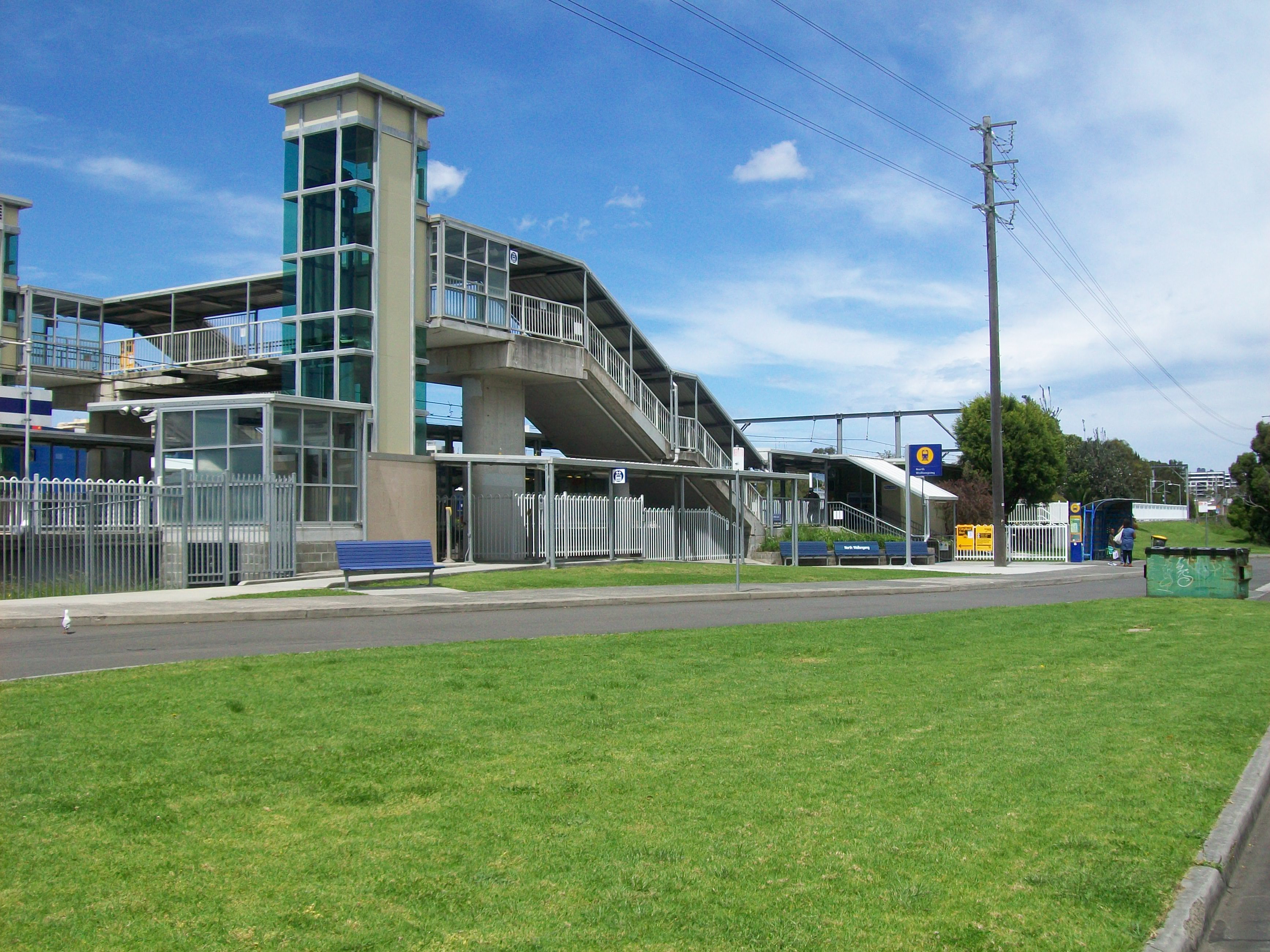
An easy access upgrade has been completed in 2007 on this site, consisting of lifts, new ramps, stairs and toilet facilities.
According to the Proposed 2010 Timetable, extra Peak Hour Express trains to/from the South Coast will stop at North Wollongong Station, as well as all weekend express trains to Sydney. This will see North Wollongong Station is receiving two trains per hour on the weekends by the end of 2010.
Express buses will operate to Waterfall/Central Non-stop in case of Trackwork. Replacement bus stops are located on the Princes Highway, east of the station.
Contents
Platforms and services
Platform Line Stopping Pattern Notes 
South Coast Line intercity services to Thirroul, Helensburgh, Sutherland, Husrtville and Sydney Terminal peak hour intercity services to Bondi Junction 
South Coast Line intercity services to Wollongong, Port Kembla, Dapto and Kiama via Wollongong Peak hour services extends from Martin Place/Bondi Junction Transport links
 Bus Stop area
Dion's Bus Service:
- 1 - Between Austinmer and Wollongong
- N1 - Hassle Free Bus between Thirroul and Wollongong
- 4 - between Bulli via East Woonona and Wollongong
- 9 - UOW NG Shuttle to University of Wollongong Ring Road (Free Bus) Weekdays Only
Greens Northern Coaches:
- 2 - between Coalcliff and Wollongong
Premier Illawarra:
- 3 - Wollongong to Towradgi, Bellambi Point, Corrimal and Balgownie (Loop Service)
- 6 - Wollongong to Mount Pleasant and University
- 7 - Wollongong to Bellambi, Corrimal, Balgownie and Cabbage Tree Lane
- 8 - Wollongong via Balgownie, Corrimal, Bellambi and Towradgi. (Loop Service)
- 10 - Wollongong to Keiraville via Gwynneville
- 55A - Wollongong Shuttle via Wollongong Hospital (Free Bus) Weekends/PH Only
- 55C - Wollongong Shuttle via Fairy Meadow (Free Bus)Weekends/PH Only
CityRail - Rail Replacement Bus
- 10_SCL - to Waterfall/Central Station (Express Service) Service Operates During Trackwork Only
- 20_SCL - All Stations to Thirroul then express to Waterfall and Central Service Operates During Trackwork Only
- 30_SCL - All Stations to Thirroul then express to Waterfall, Sutherland and Central Service Operates During Trackwork Only
Image Gallery
-
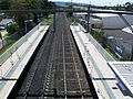
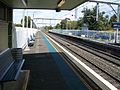
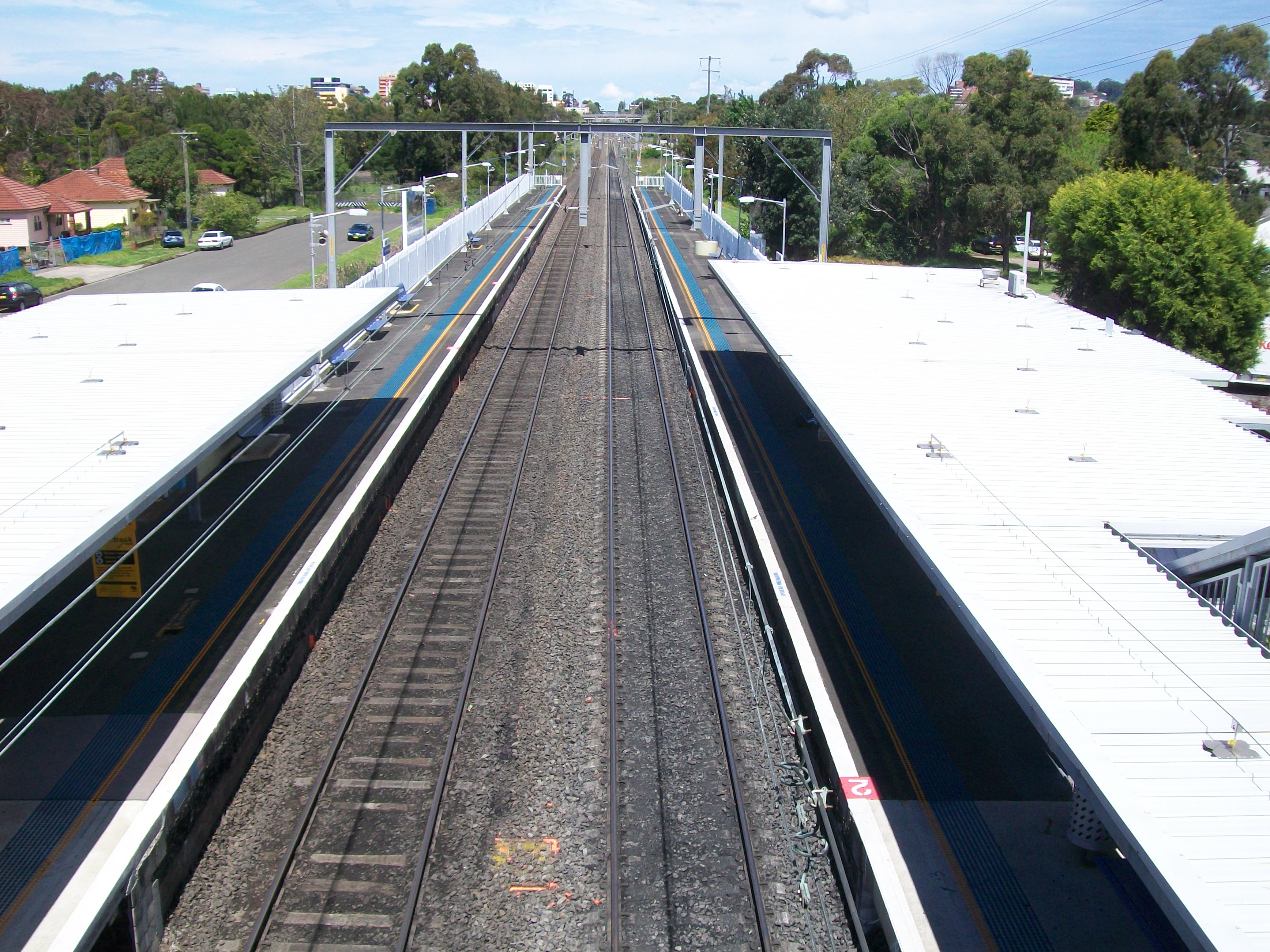
Looking North
-

Looking South
-
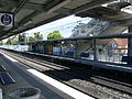
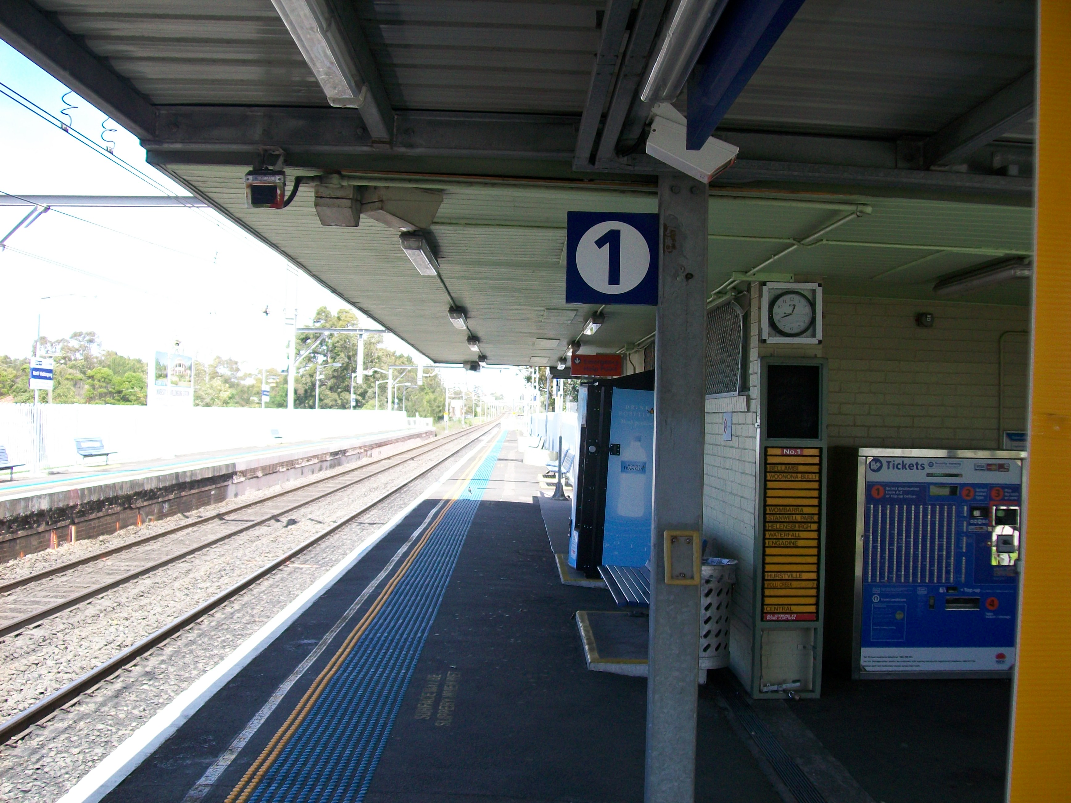
Platform 1
-
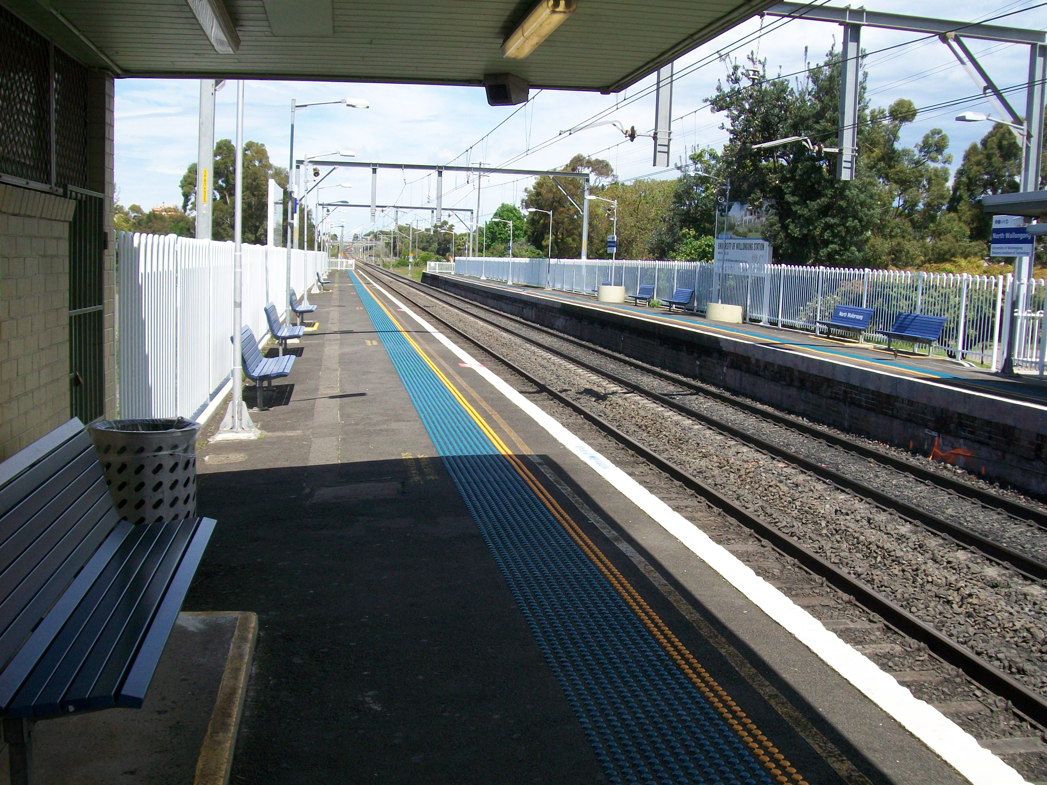
Platform 2
-
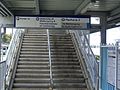
Stairs at bottom of Platform 1
-
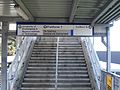
Stairs at bottom of Platform 2
-
Covered area on Platform 1
-
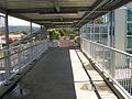
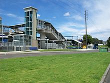
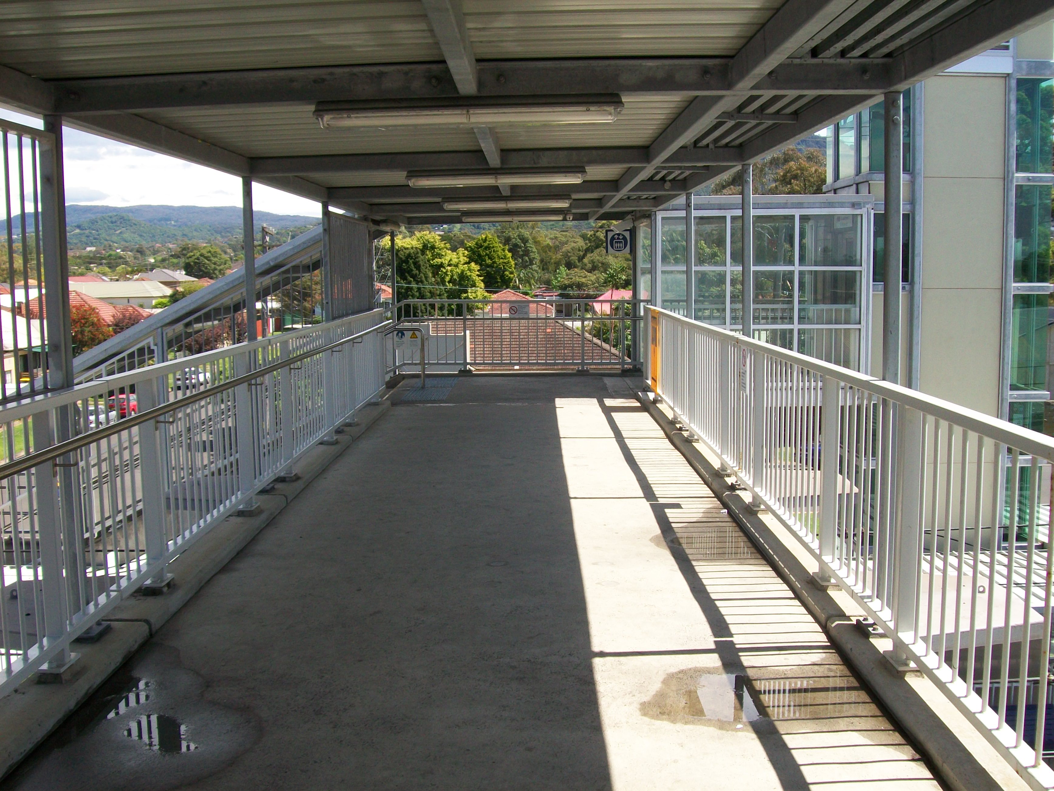
Pedestrian footbridge
-
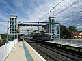
Looking at footbridge from north
-
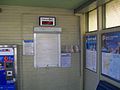
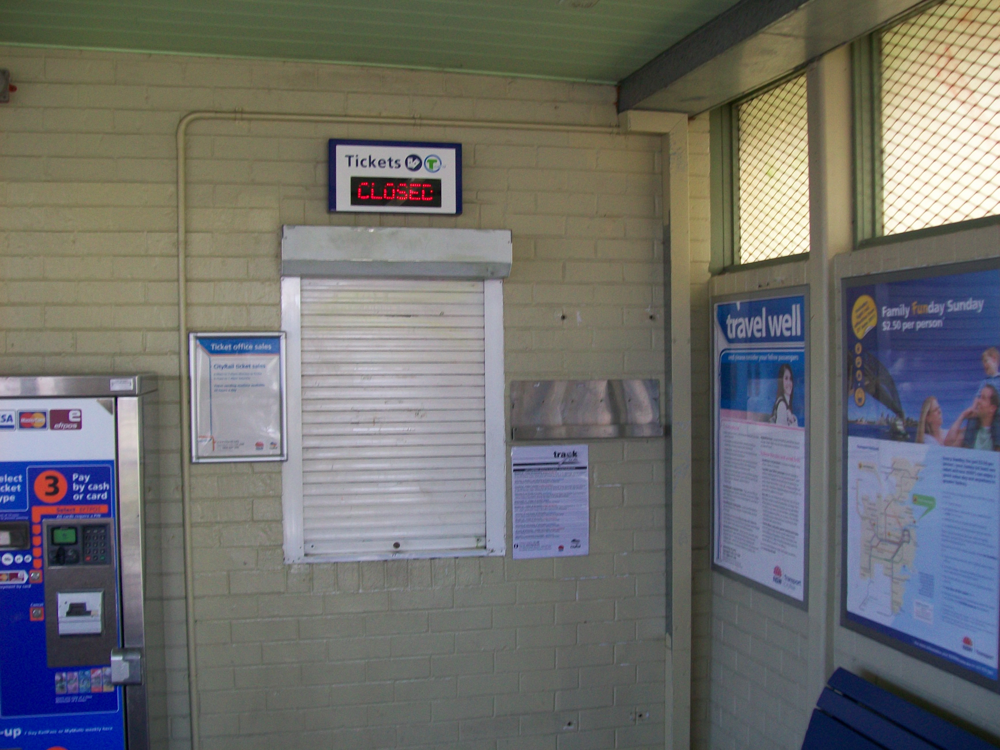
Ticket Office
-
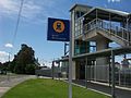
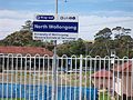
Sign Outside Station
-
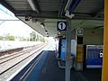
Platform Sign
-
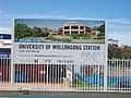
University of Wollongong sign informing students to alight here
-

Looking at pedestrian footbridge and stairs on Platform 2 before the easy access upgrade
Neighbouring Stations
Preceding station CityRail Following station towards Bomaderry (Nowra) or Port KemblaSouth Coast Line towards CentralCoordinates: 34°24′44″S 150°53′28″E / 34.4123°S 150.891029°E
Categories:- Regional railway stations in New South Wales
- Railway stations opened in 1915


Wikimedia Foundation. 2010.