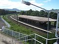
- Cringila railway station
-
 Cringila
South Coast Line Station code CRG Town Cringila Street(s) Five Islands Road Distance from Central Station 87.65 km Altitude (above sea level) ? m Types of stopping trains Intercity Number of platforms 2 Number of tracks 2 Platform arrangement 1 Island Type of station Ground Ticket barriers No Transfers available None Disabled access 
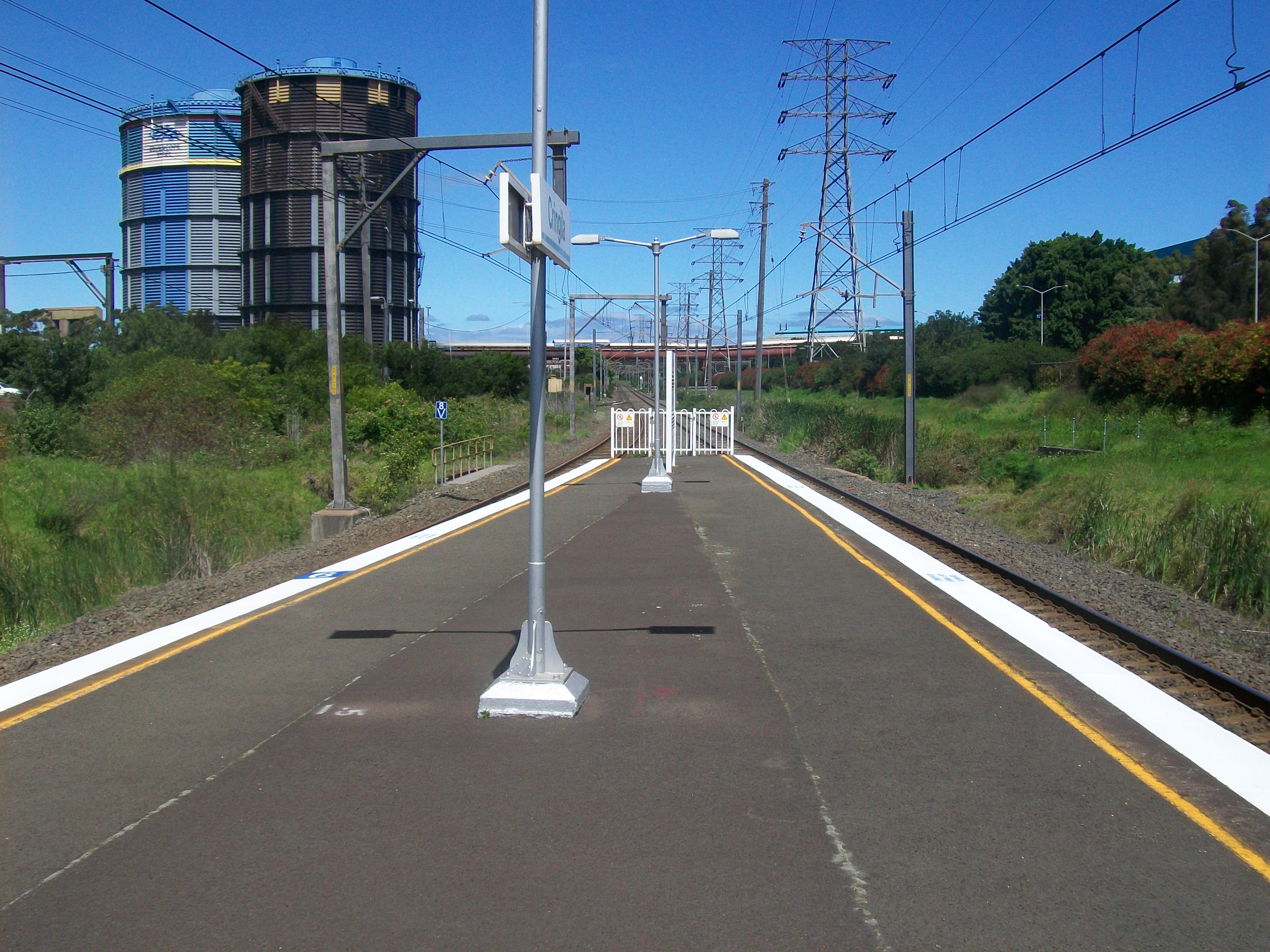
No Station facilities Link Cringila is a CityRail railway station on the Port Kembla branch of the South Coast railway line. It serves the Wollongong suburb of Cringila.
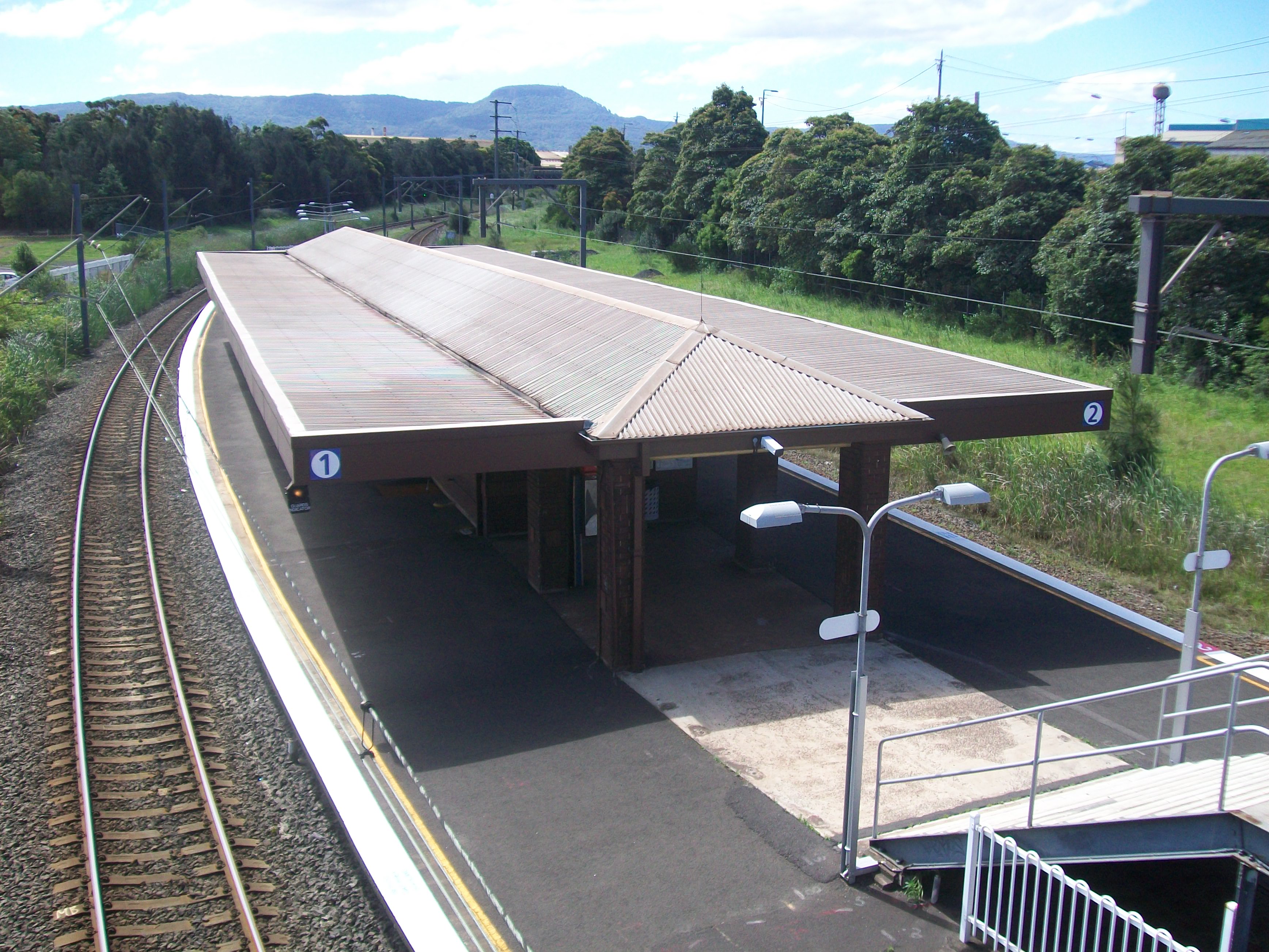
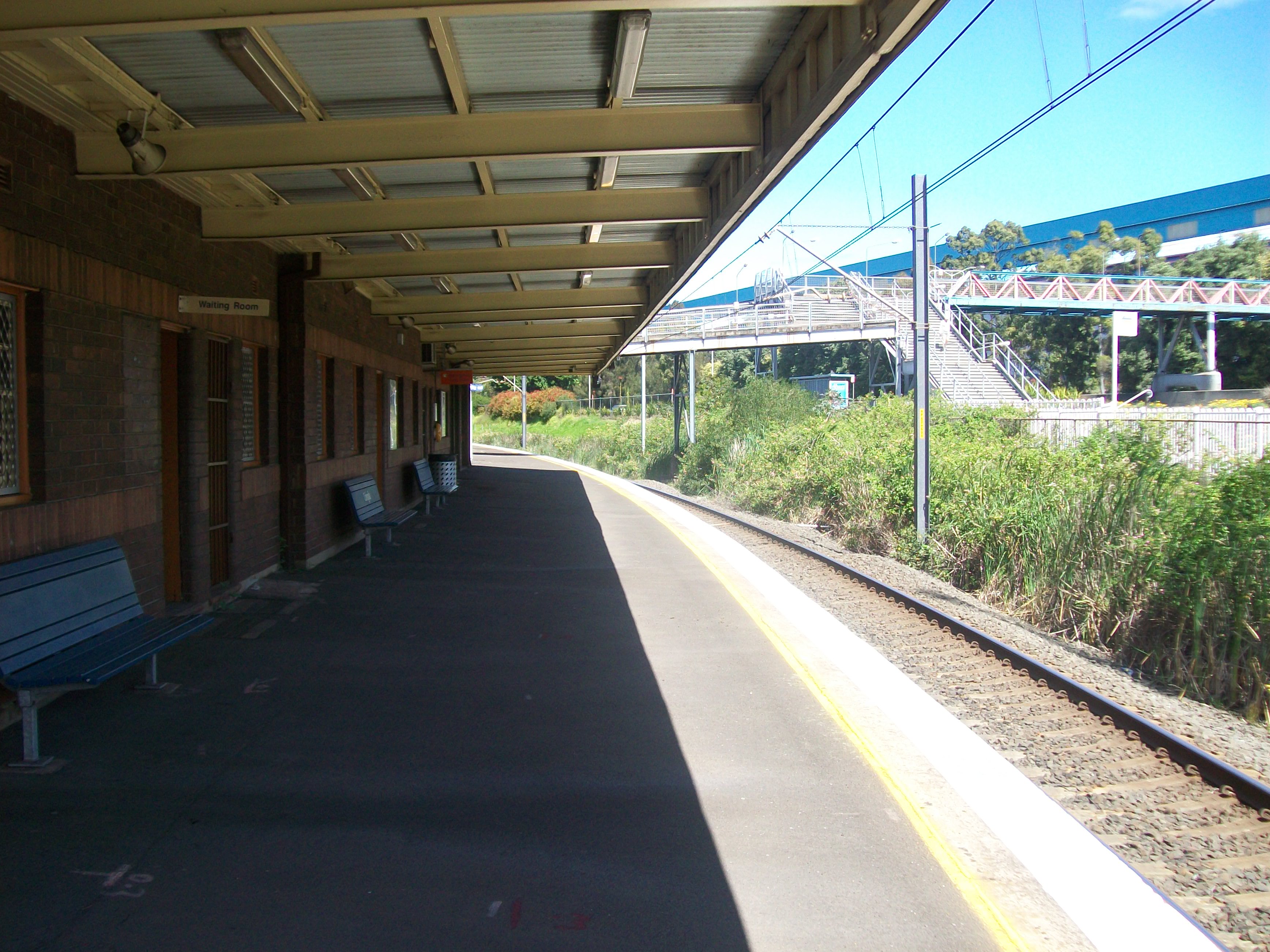
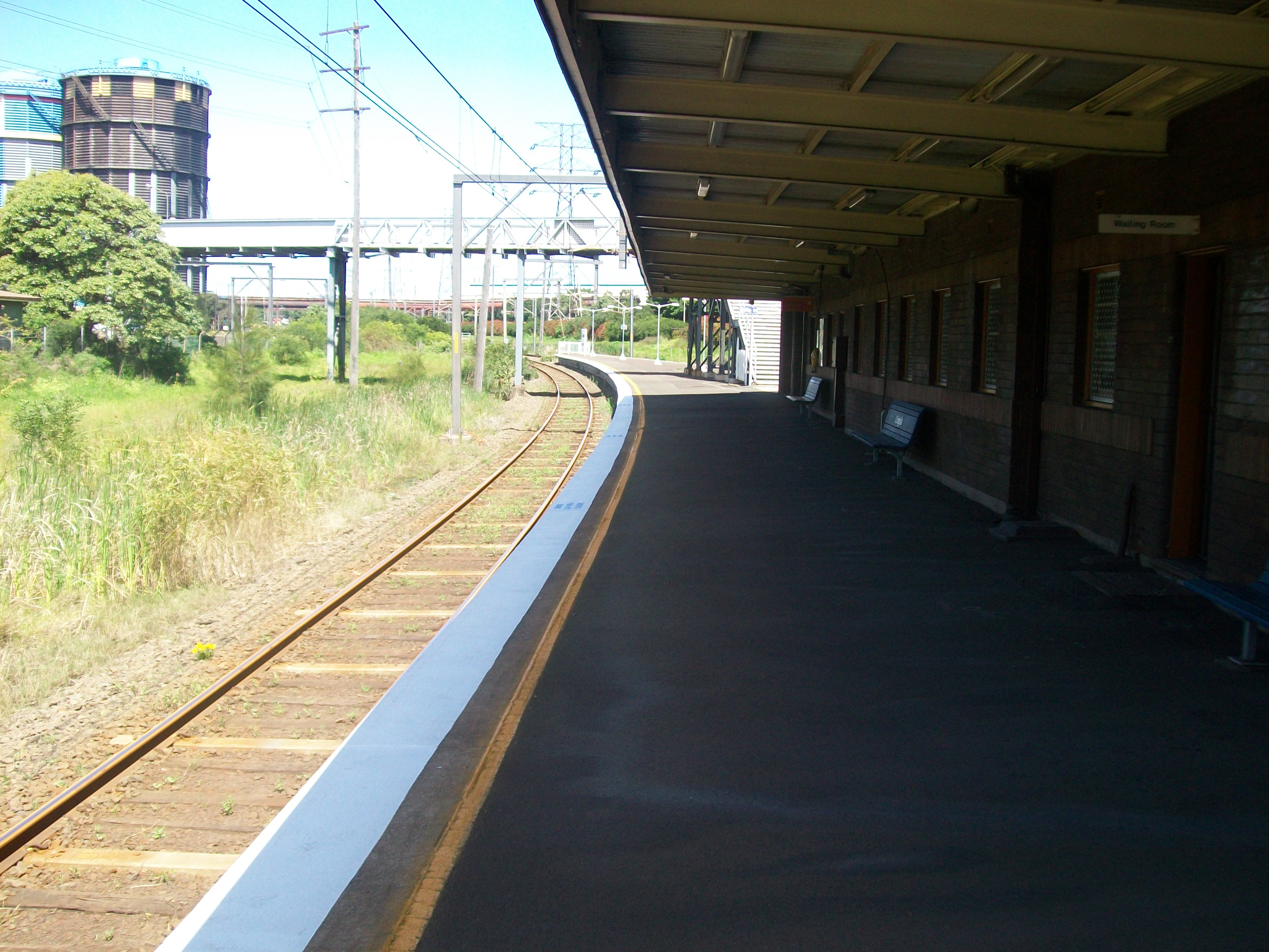
The station has an island platform. The northern access from the platform provides access to BlueScope Steel Port Kembla Steelworks via a secured gate. The southern access is from Five Island Road. It is served by approximately one train per hour, usually a local service to Thirroul, but with extra direct trains to and from Sydney in the peak hours.
Due to vandalism, there is no ticket machine at this station, meaning that customers can only purchase tickets when the ticket office is open with staff. At other times, customers must purchase a ticket at their destination.
Contents
Platforms and services
Platform Line Stopping Pattern Notes 
South Coast Line Intercity services to Coniston, Wollongong, Thirroul, Helensburgh, Waterfall and Sydney Terminal. Peak Hour Intercity services to Bondi Junction. 
South Coast Line Intercity services to Port Kembla. Transport links
Premier Illawarra runs three routes via Cringila railway station:
- 34 - between Wollongong and Port Kembla
- 51 - between University of Wollongong and Albion Park
- 53 - between University of Wollongong and Shellharbour
Image Gallery
-

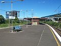
Platform 1
-

Platform 2
-

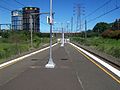
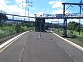
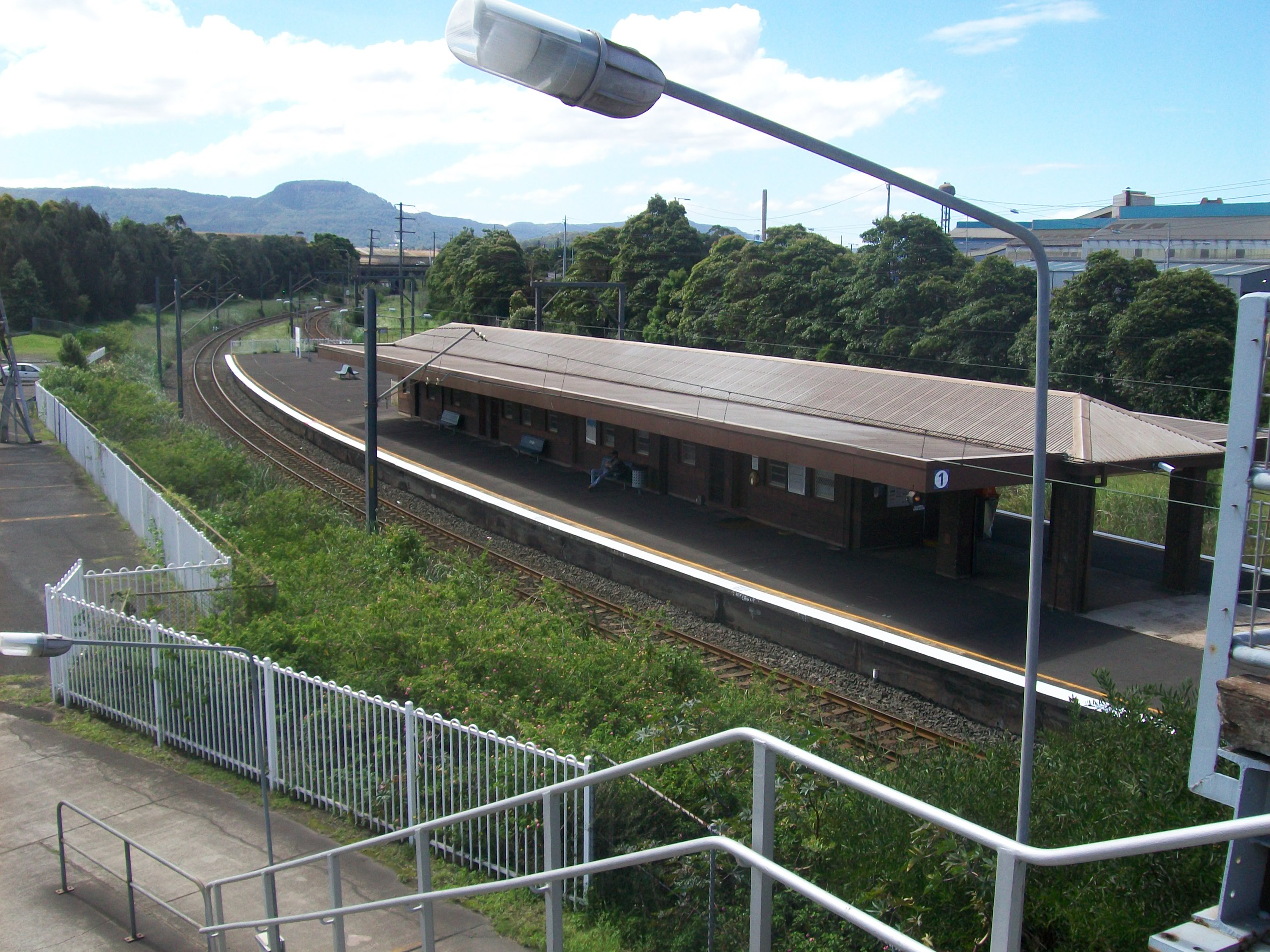
North end of island platform
-
Looking at the Platform building from north end
-
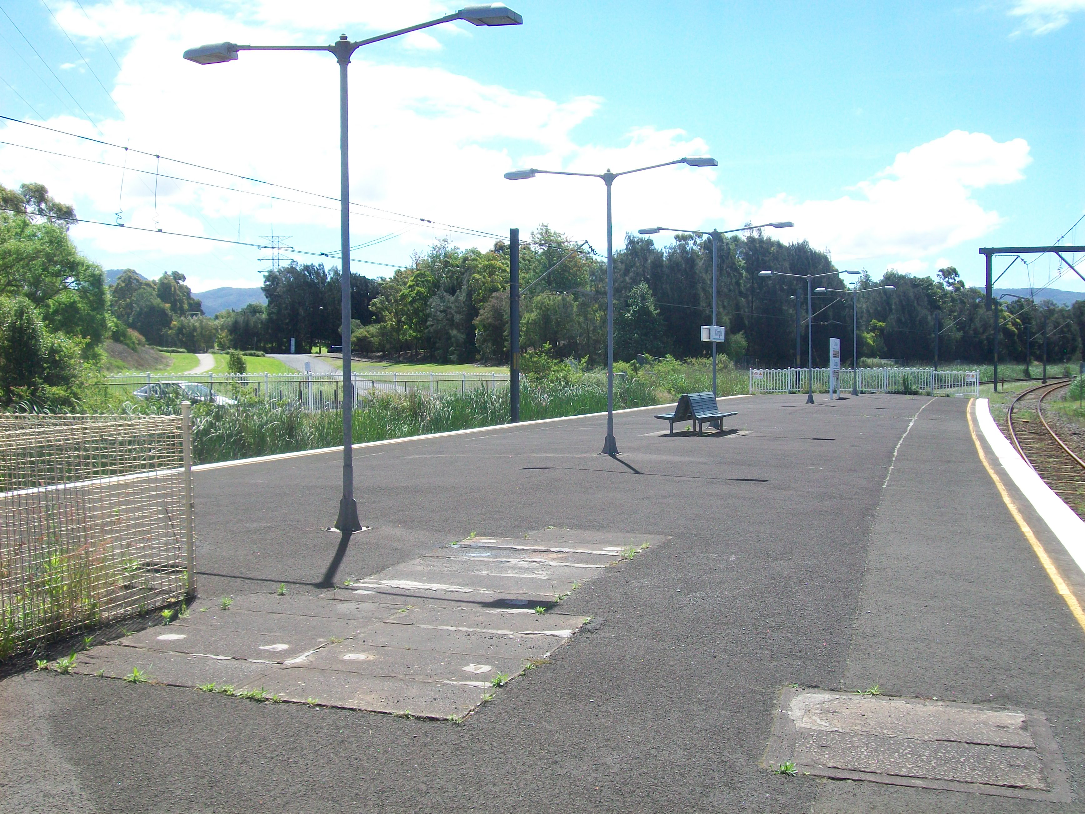
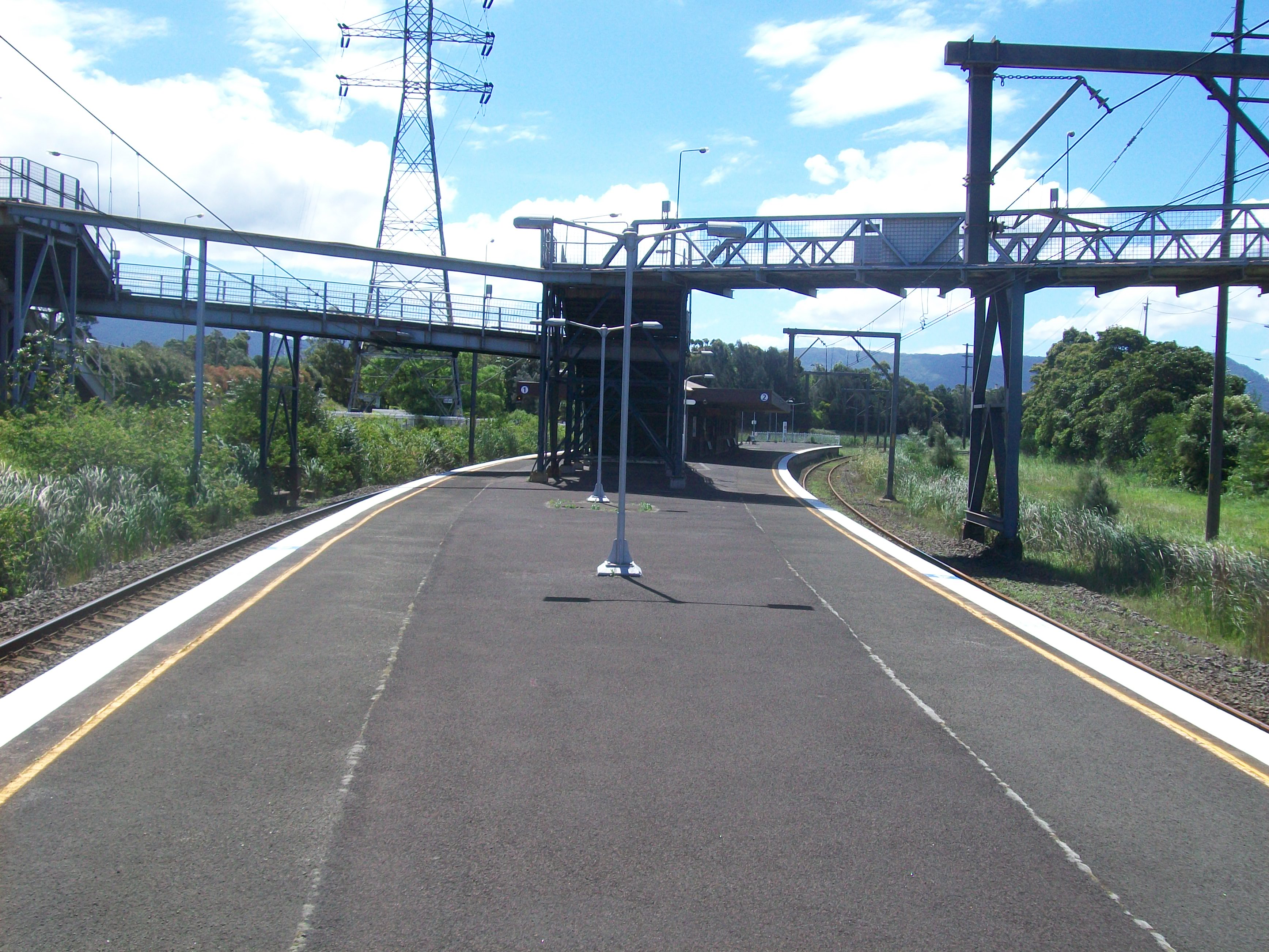
South end of island platform
-
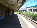
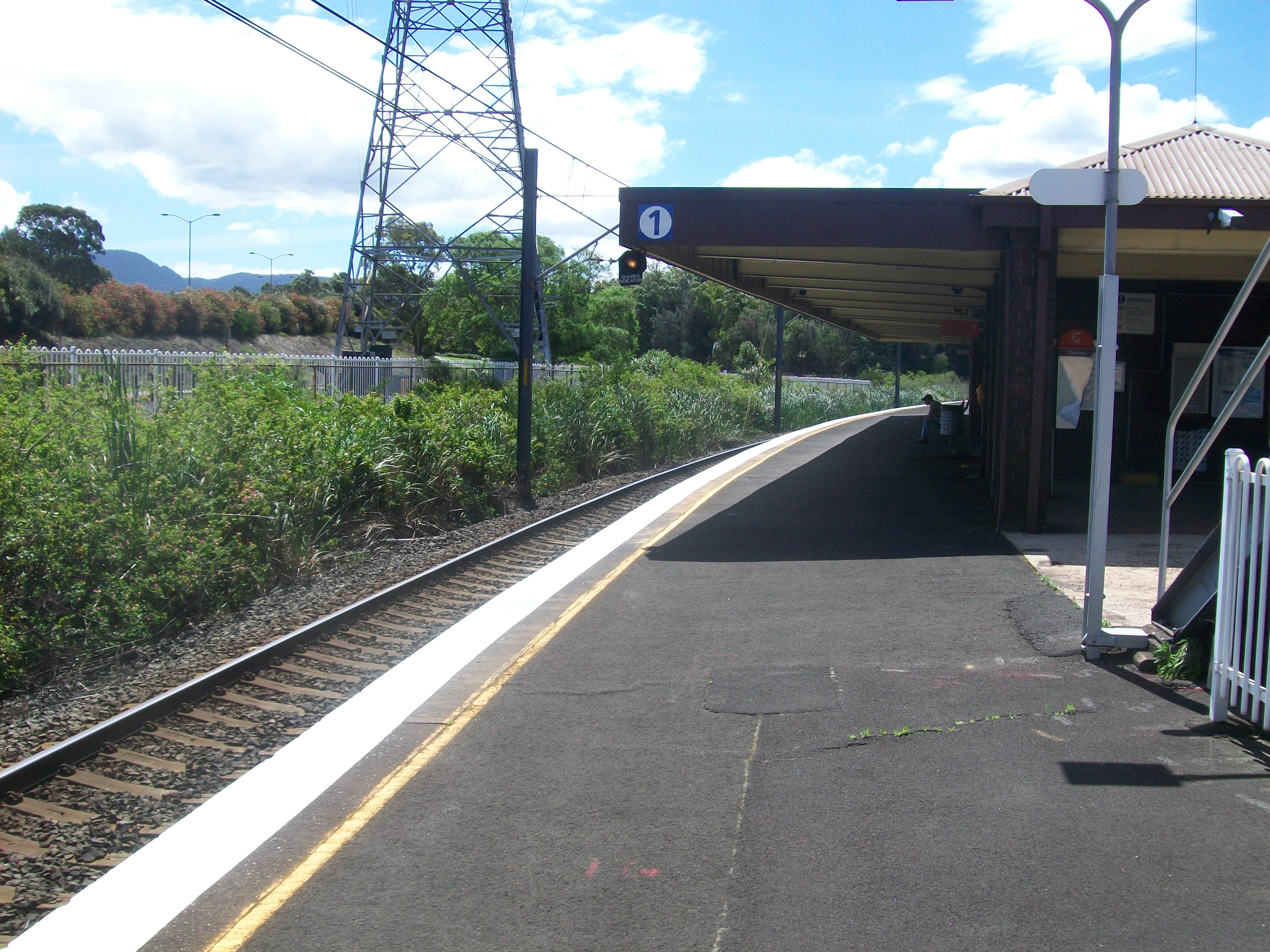
Platform 1 looking south
-
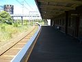
Platform 2 looking south
-
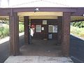
Ticket office
-

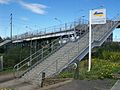
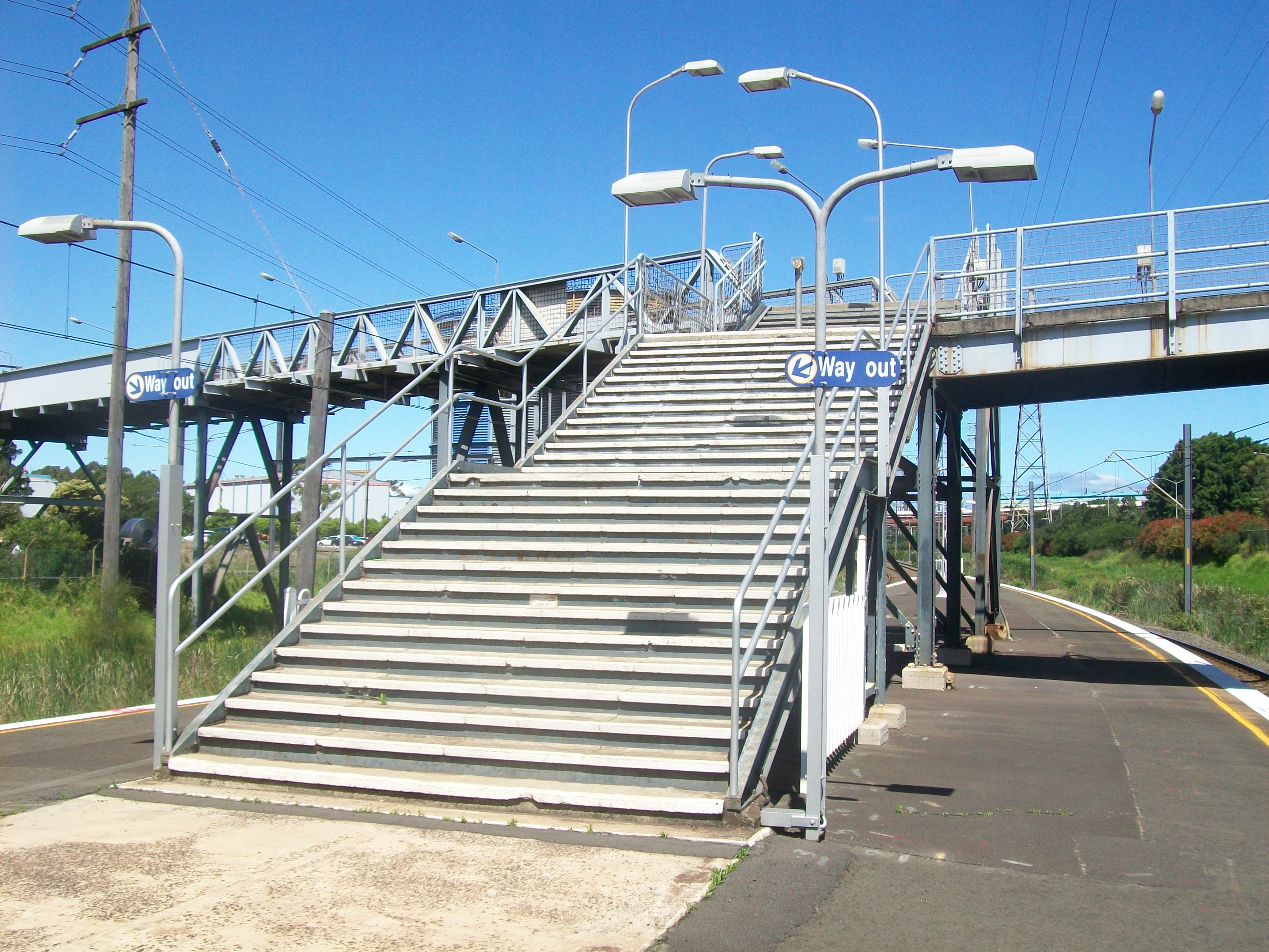
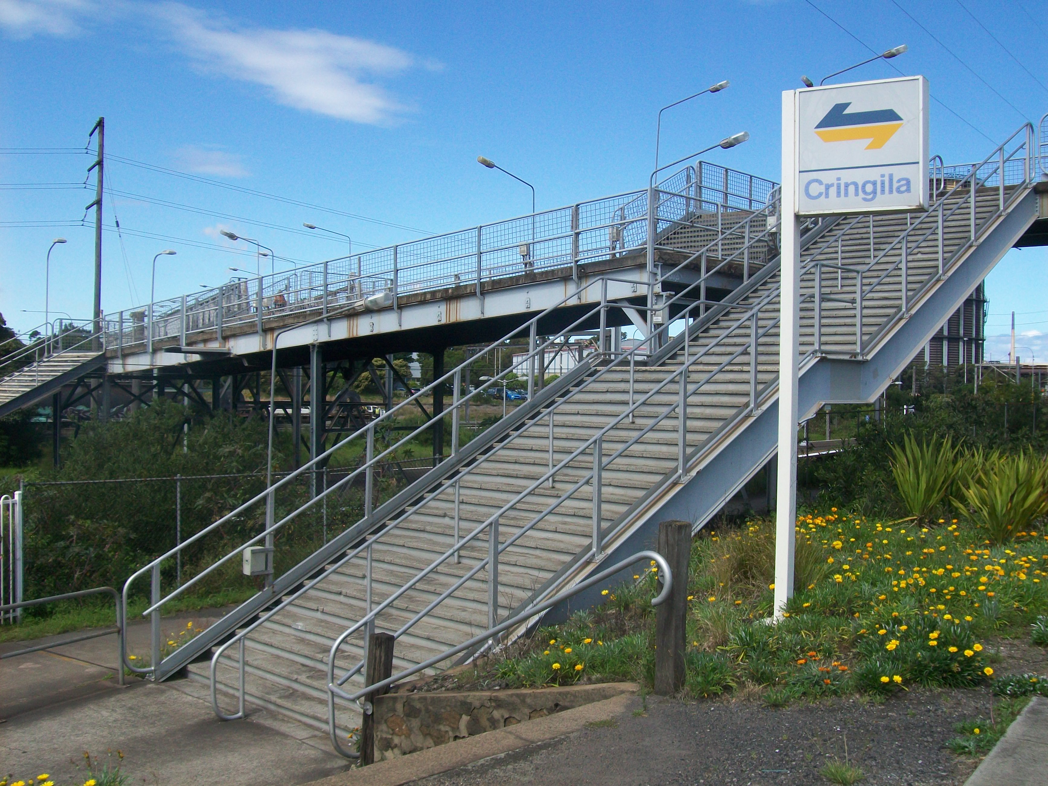
Stairs to exit via footbridge
-
Entrance
-
Footbridge
-
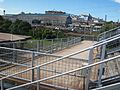
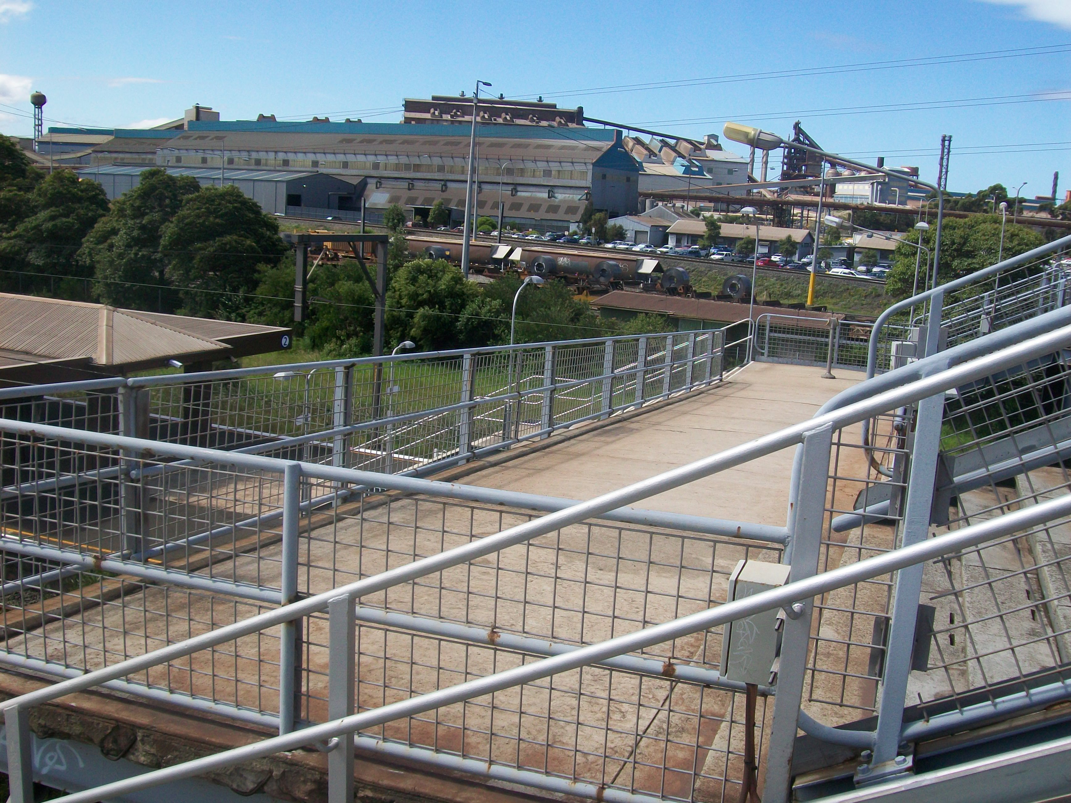
The footbridge seen from south end of platform
-
Station building seen from stairs
Neighbouring stations
Preceding station CityRail Following station towards Port KemblaSouth Coast Line
(Port Kembla branch)towards CentralCoordinates: 34°27′58″S 150°52′41″E / 34.466001°S 150.877926°E
Categories:- Regional railway stations in New South Wales
- Railway stations opened in 1926
- New South Wales rail transport stubs


Wikimedia Foundation. 2010.