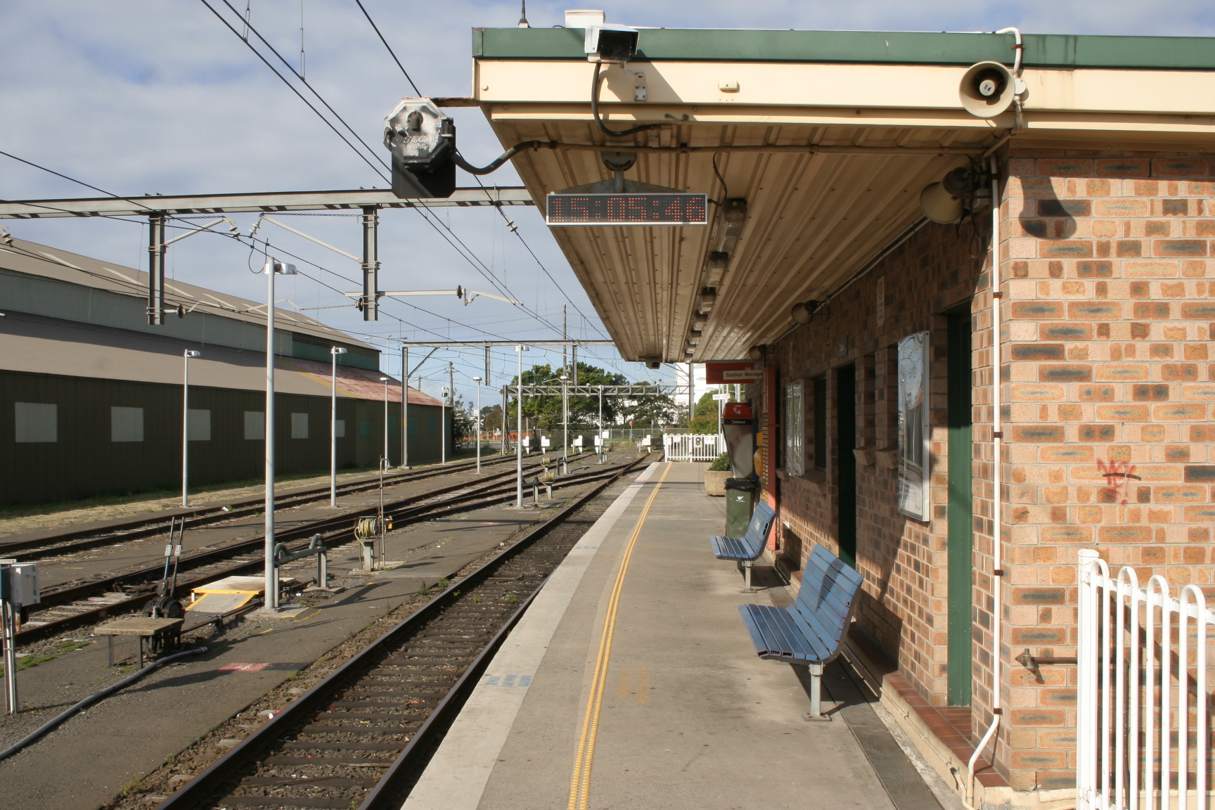
Port Kembla railway station, New South Wales
- Port Kembla railway station, New South Wales
Cityrail Station alt|station_name=Port Kembla|

servicearea=South Coast Line|servicearea_color=#South Coast line colour|servicearea_textcolor=white
code=PKM|town=Port Kembla|street=Old Port Kembla Rd|distance=90.24|altitude=?|traintype=Intercity|platforms=1|tracks=3|platform_arr=1 Side|stationtype=Ground|gates=No|connect=Bus|disabled=Yes
facilities= [http://www.cityrail.info/facilities/facilities.jsp?n=224&giveOutput=true&facility= Link]
Port Kembla is a CityRail railway station on the Port Kembla branch of the South Coast railway line. It is the terminus of the branch line, and serves the residential area of the suburb of the same name.
The station has one side platform, used for terminating trains. It is served by approximately one train per hour, usually a local service to Thirroul, but extra direct trains to and from Sydney are provided in the peak hours.
Platforms/Service
Platform 1:
*South Coast line colour>South Coast Line - Trains to Wollongong, Thirroul and Sydney Terminal
Transport Links
Premier Illawarra runs four routes to and fron Port Kembla railway station:
*34 - to Wollongong.
*43 - to Dapto.
*65 - to North Beach.
*69 - Between Westfield Figtree and Westfield Warrawong.
ee also
*
Neighbouring stations
Wikimedia Foundation.
2010.
Look at other dictionaries:
Port Kembla North railway station, New South Wales — Cityrail Station alt|station name=Port Kembla North| servicearea=South Coast Line|servicearea color=#South Coast line colour|servicearea textcolor=white code=PBN|town=Port Kembla North|street=Flinders… … Wikipedia
Summit Tank railway station, New South Wales — Sydneyclosedstation NAME= Summit Tank LINE=Unanderra Moss Vale line DISTANCE= 108.130km via Wollongong PLATFORMS= 1 Side Platform TRACKS= 1 STATUS= In Use OPENED= 20/8/1942 CLOSED= Summit Tank was a railway station on the Unanderra Moss Vale line … Wikipedia
Stanwell Park railway station, New South Wales — Cityrail Station alt|code=SWP| station name=Stanwell Park servicearea=South Coast Line|servicearea color=#0066CC|servicearea textcolor=white|town=Stanwell Park|street=Railway Crecent|distance=55.95|altitude=?|traintype=Intercity|platforms=2|tracks… … Wikipedia
Albion Park railway station, New South Wales — Cityrail Station alt|station name=Albion Park| servicearea=South Coast Line|servicearea color=#South Coast line colour|servicearea textcolor=white code=ALP|suburb=Albion Park|street=Princes Hwy|distance=103.34|altitude=?|traintype=Intercity|platfo… … Wikipedia
Oak Flats railway station, New South Wales — Cityrail Station alt|station name=Oak Flats| servicearea=South Coast Line|servicearea color=#South Coast line colour|servicearea textcolor=white code=OAF|suburb=Oak Flats|street=Princes Hwy|distance=105.52|altitude=?|traintype=Intercity|platforms … Wikipedia
Coniston railway station, New South Wales — Coniston … Wikipedia
Otford railway station, New South Wales — Otford … Wikipedia
Thirroul railway station, New South Wales — Cityrail Station alt|station name=Thirroul servicearea=South Coast Line|servicearea color=#South Coast line colour|servicearea textcolor=white code=TRL|town=Thirroul|street=Railway Pde|distance=70.24|altitude=?|traintype=Intercity|platforms=3|trac… … Wikipedia
Cringila railway station, New South Wales — Cityrail Station alt|station name=Cringila| servicearea=South Coast Line|servicearea color=#South Coast line colour|servicearea textcolor=white code=CRG|town=Cringila|street=Five Islands Rd|distance=87.65|altitude=?|traintype=Intercity|platforms=2… … Wikipedia
Lysaghts railway station, New South Wales — Cityrail Station alt|station name=Lysaghts servicearea=South Coast Line|servicearea color=#South Coast line colour|servicearea textcolor=white code=?|town=Cringila|street=Springhill Rd|distance=86.27|altitude=?|traintype=Intercity|platforms=2|trac… … Wikipedia

