- Otford railway station, New South Wales
-
 Otford
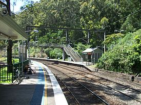
South Coast Line Station code OTF Town Otford Street(s) Lady Carrington Road Distance from Central Station 52.64 km Altitude (above sea level) ? m Types of stopping trains Intercity Number of platforms 2 Number of tracks 2 Platform arrangement 2 Side Type of station Ground Ticket barriers No Transfers available None Disabled access 
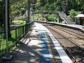
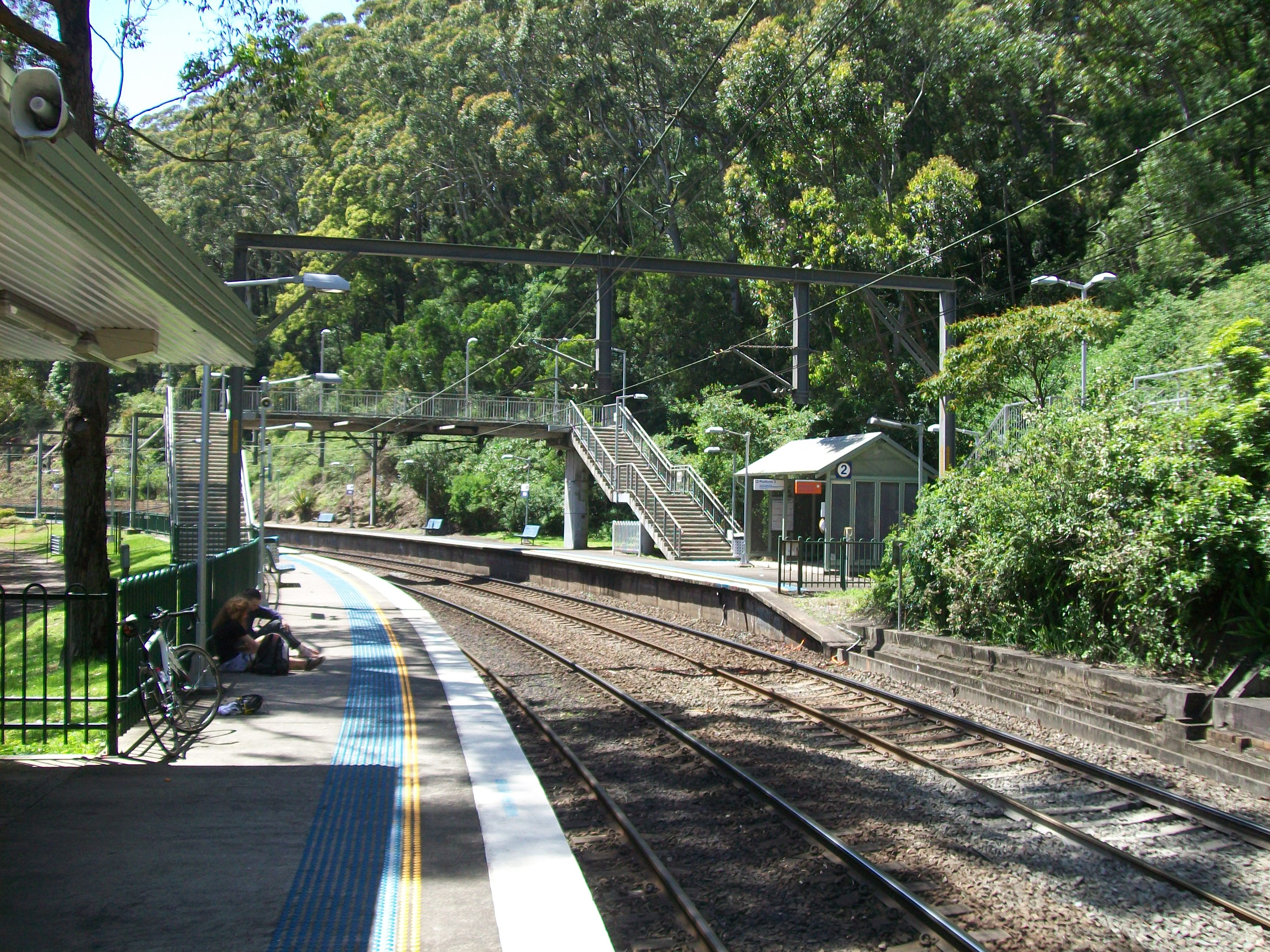
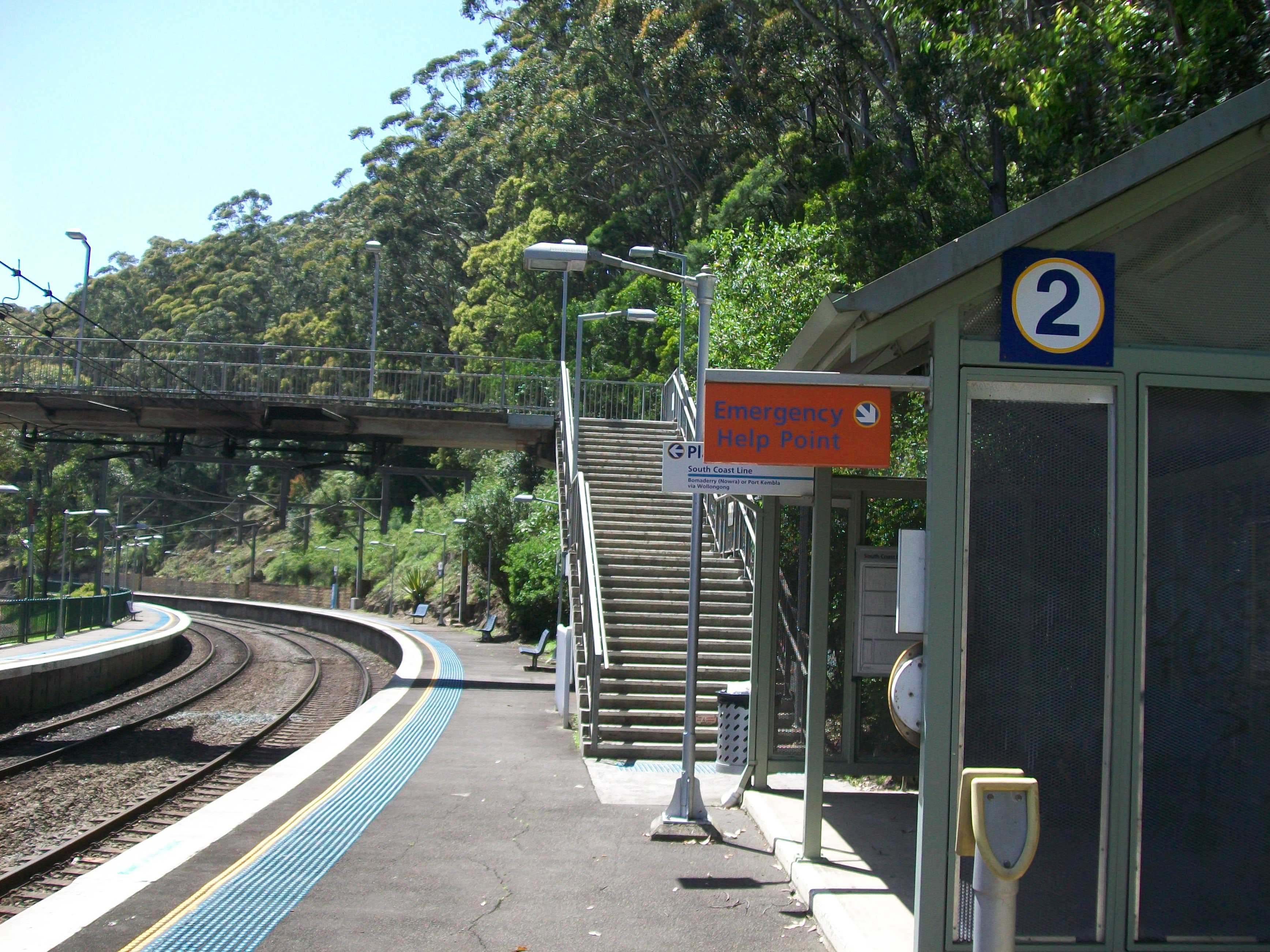
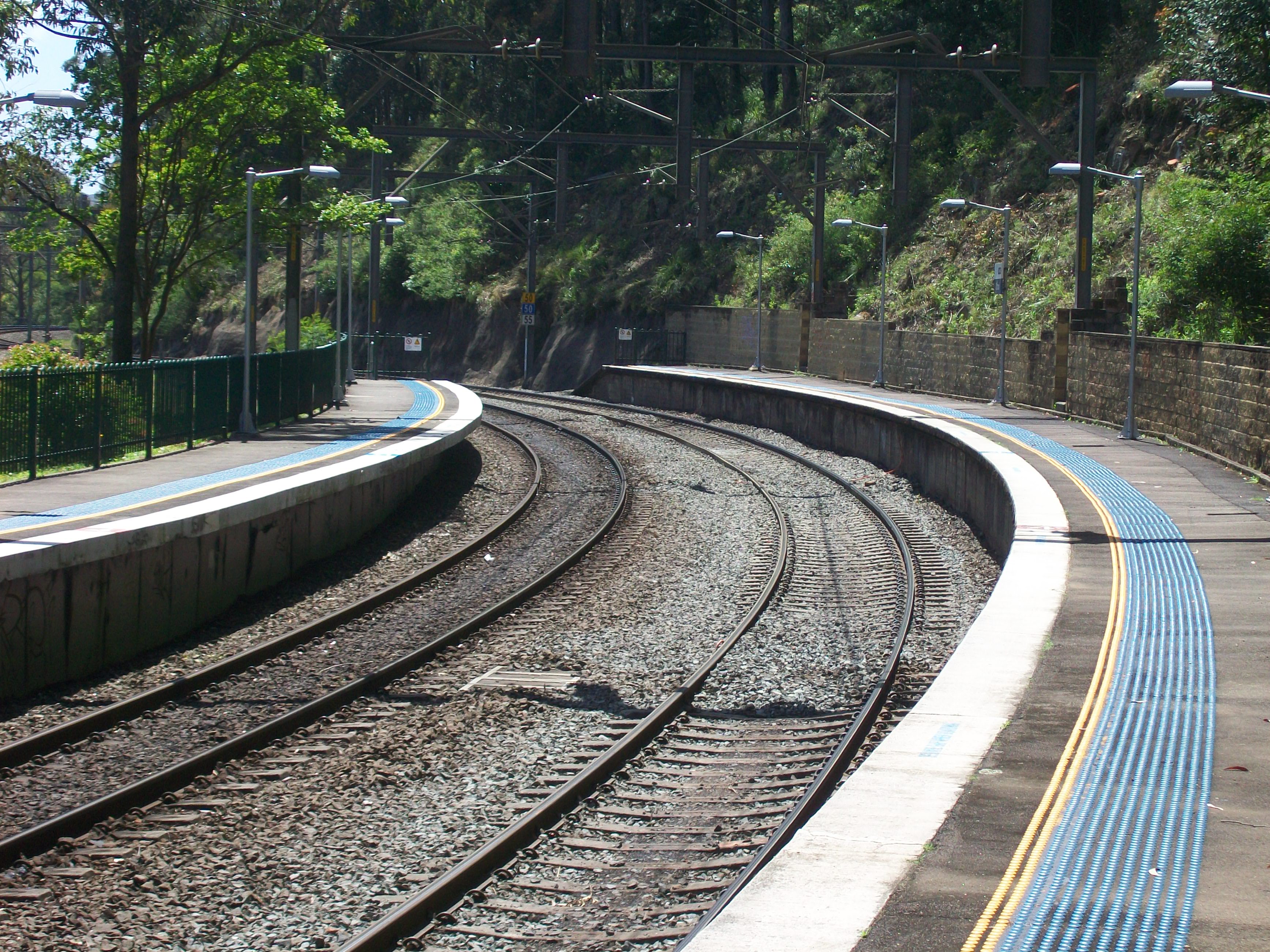
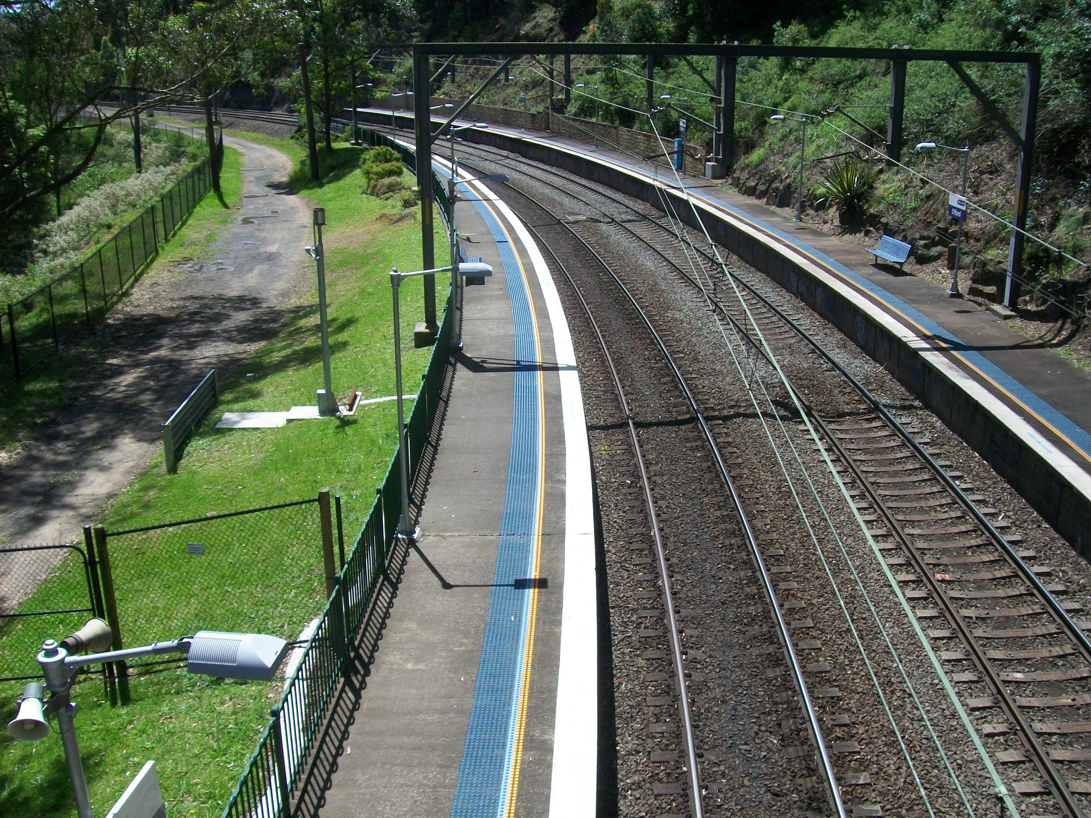
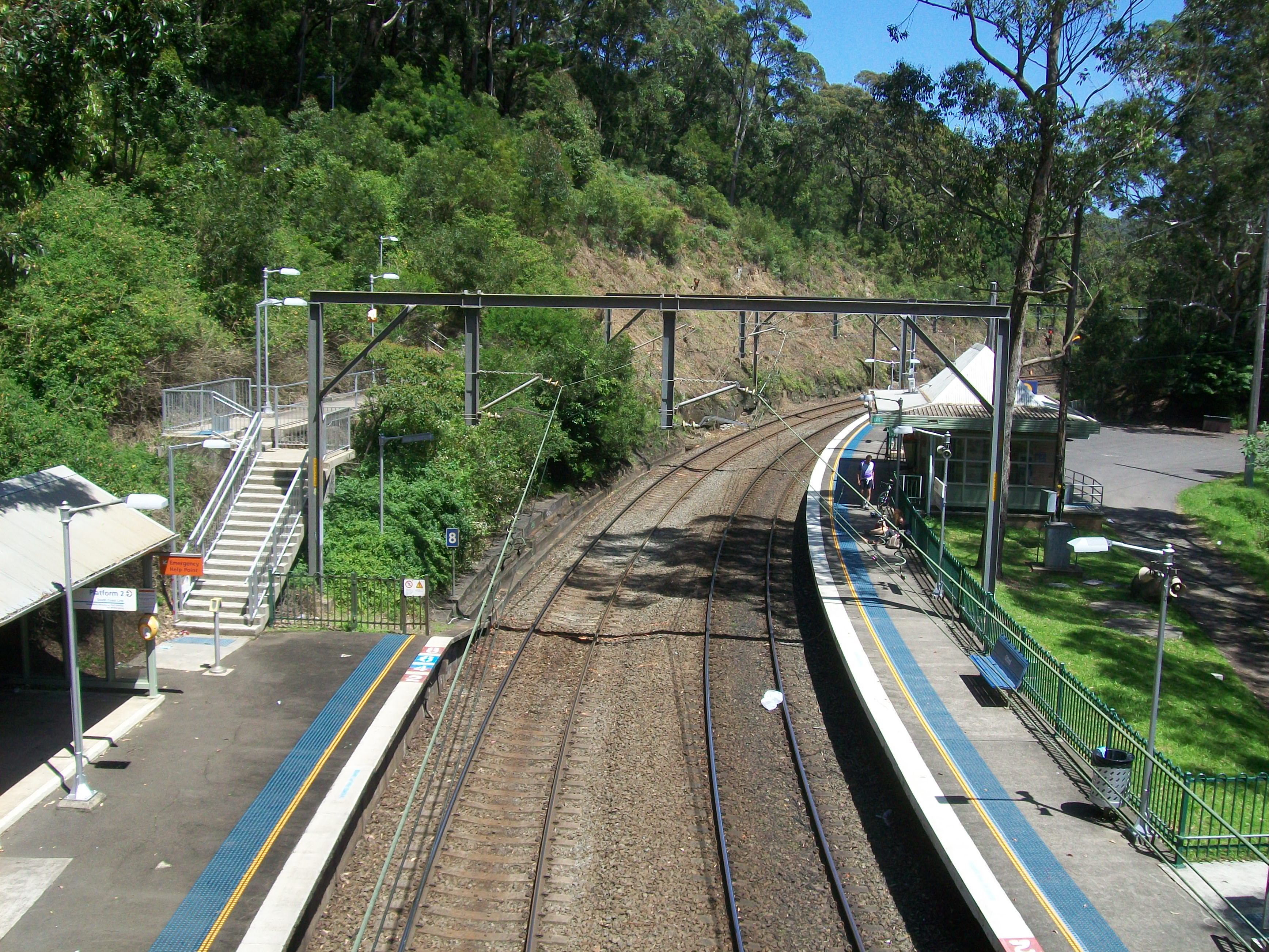
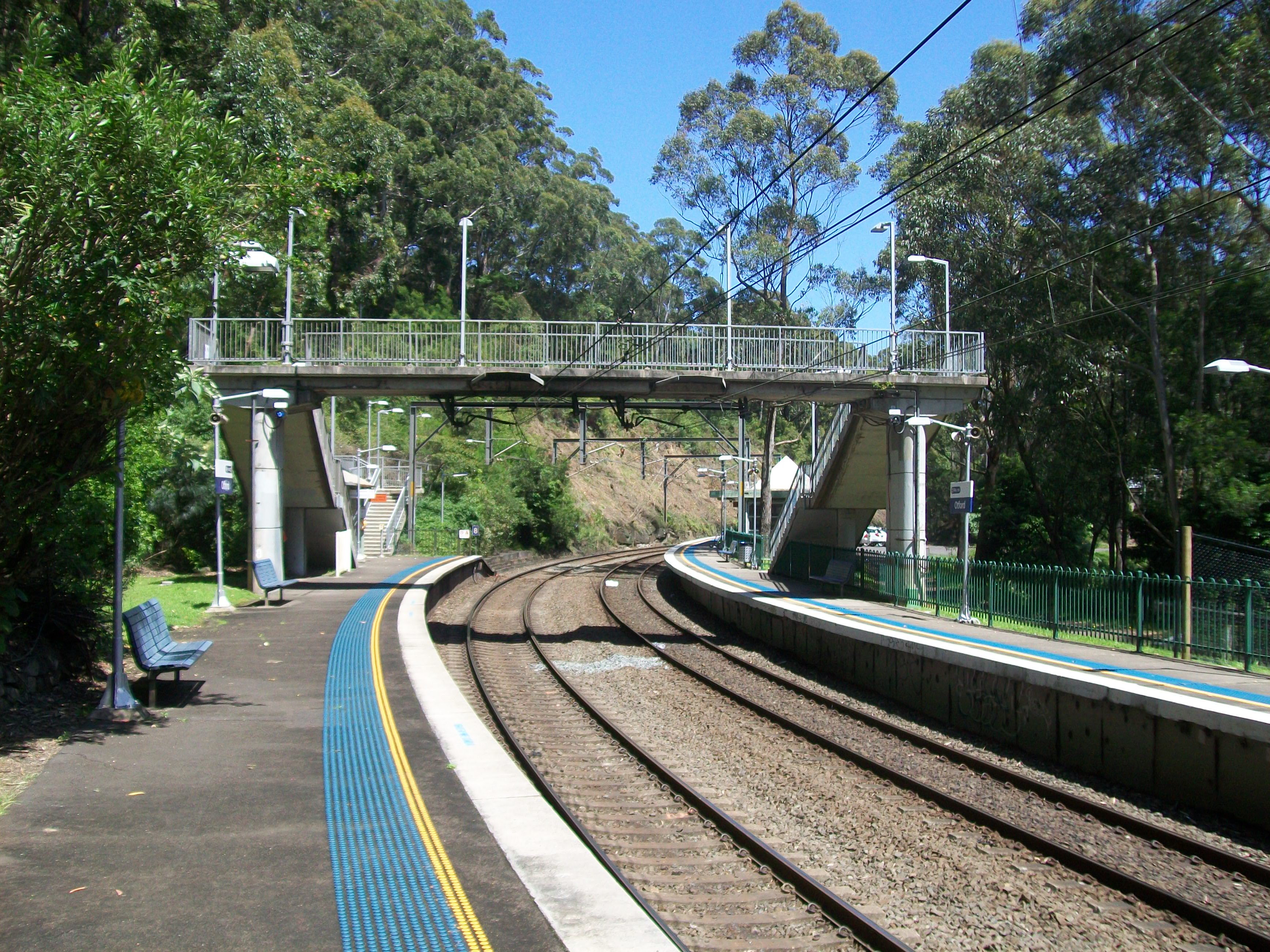
No Station facilities Link Otford is a CityRail railway station on the South Coast railway line of New South Wales, Australia. It serves a sparsely populated area of Otford, New South Wales. It has two side platforms, on a sharp curve, which creates gap and step problems for passengers.
The station is served by one train per hour for most of the time, with additional trains at weekday peak hours. The station has street access to both platforms, connected by an overbridge with stairs. This does not allow for the station to classed as having Easy Access for wheelchairs.
Contents
Platforms and services
Platform Line Stopping Pattern Notes 
South Coast Line intercity services to Helensburgh, Waterfall and Sydney Terminal peak hour/weekend intercity services to Bondi Junction 
South Coast Line intercity services to Thirroul, Wollongong, Port Kembla, Dapto and Kiama via Wollongong Image Gallery
-
Platform 1
-
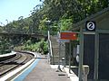
Platform 2
-
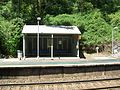
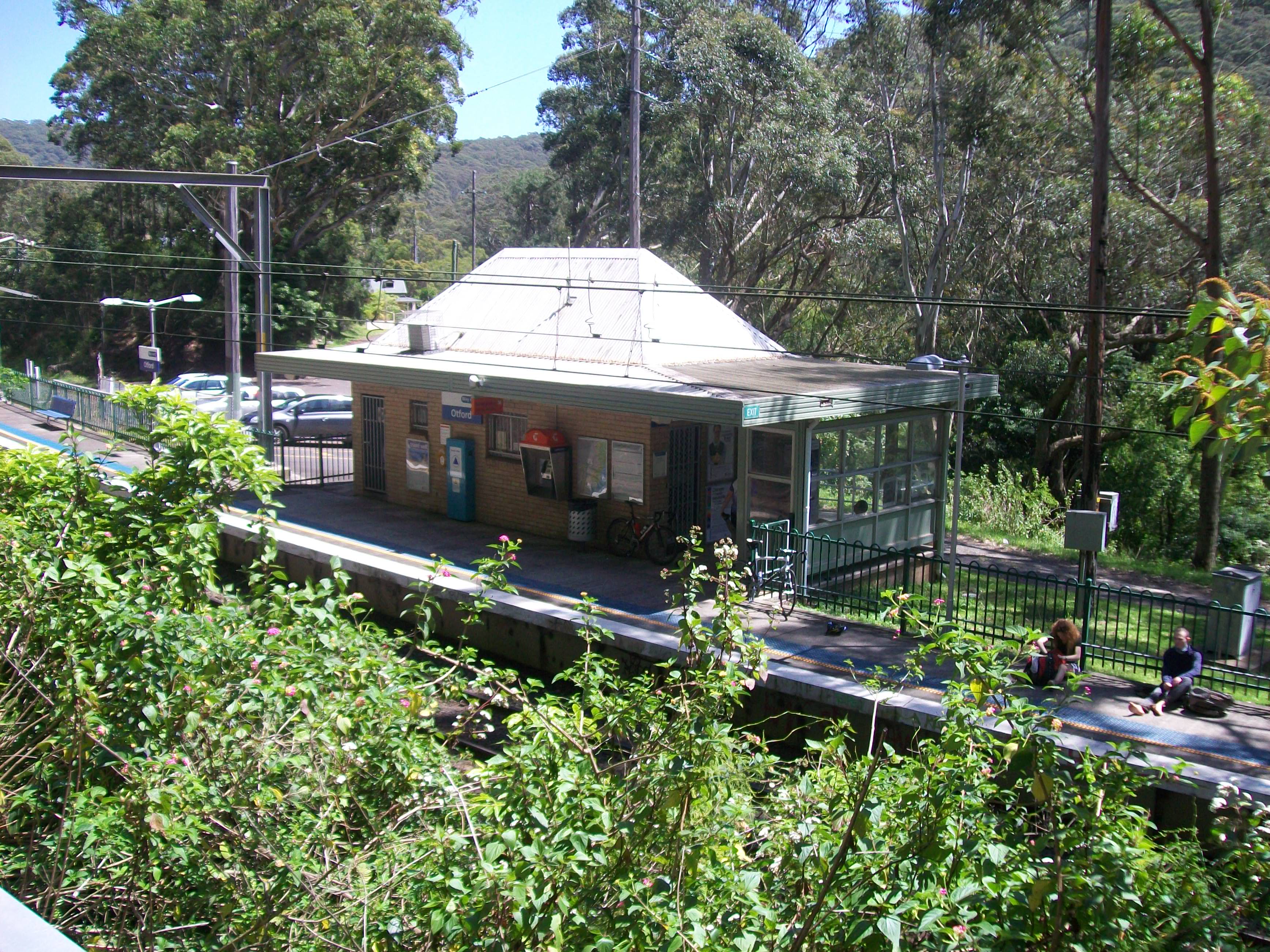
Covered waiting area on Platform 2
-
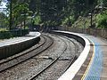
North end of curved platforms
-
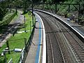
Looking north from the footbridge
-
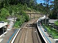
Looking south from the footbridge
-

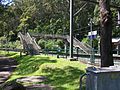
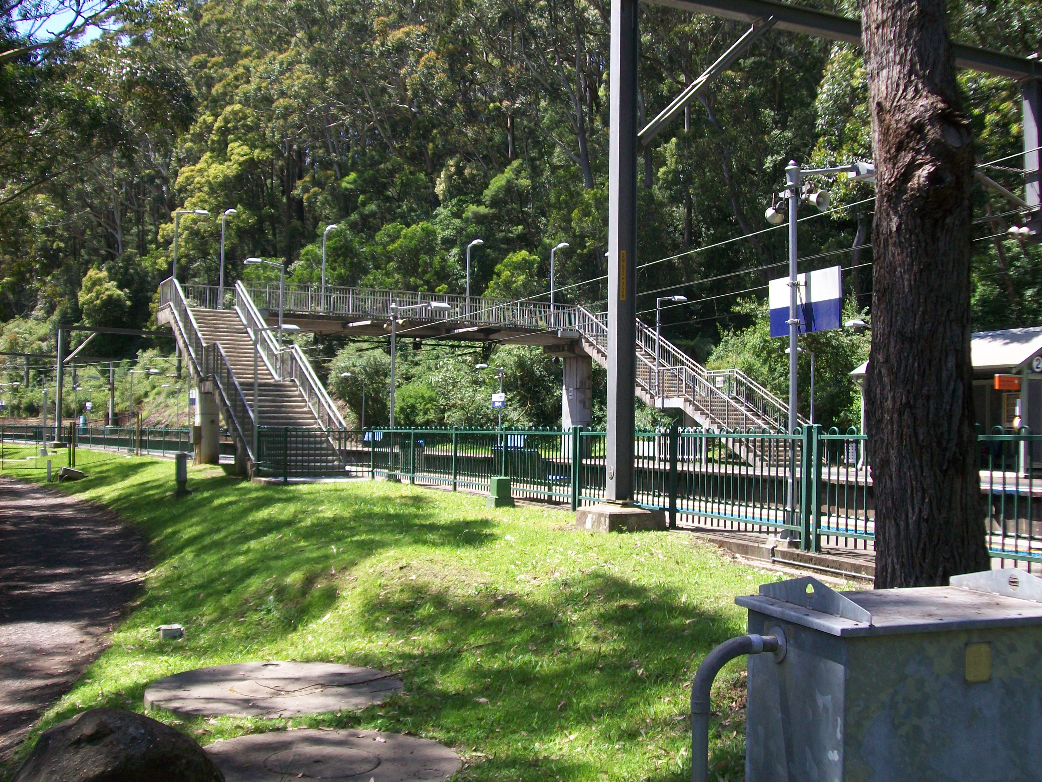
Footbridge
-

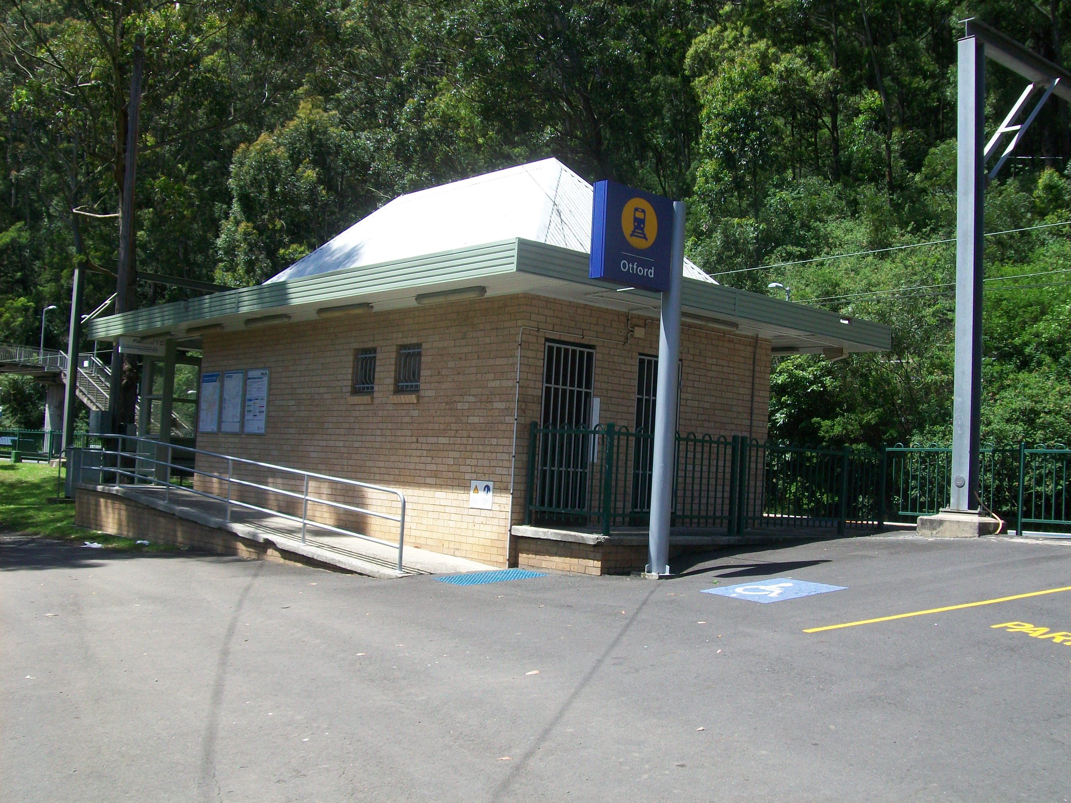
Station building from carpark
-
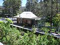
Station building attached to Platform 1
-
Station entry
-
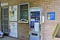
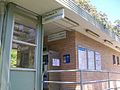
Ticket office at entrance to station
-
Looking at the platforms and footbridge from outside the station area
Neighbouring stations
Preceding station NSW Main lines Following station Stanwell Parktowards BomaderryIllawarra (South Coast) Line Lilyvaletowards CentralPreceding station CityRail Following station towards Bomaderry (Nowra) or Port KemblaSouth Coast Line towards CentralSee also
Coordinates: 34°12′38″S 151°00′21″E / 34.210613°S 151.00575°E
Categories:- Regional railway stations in New South Wales
- Railway stations opened in 1888
- Australia rail transport stubs
-


Wikimedia Foundation. 2010.