- Minnamurra railway station
-
 Minnamurra
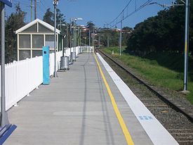
South Coast Line Station code MUR Town Minnamurra Street(s) North Street Distance from Central Station 113.37 km Altitude (above sea level) ? m Types of stopping trains Intercity Number of platforms 1 Number of tracks 1 Platform arrangement 1 Side Type of station Ground Ticket barriers No Transfers available Bus Disabled access 
Yes (Assisted) Station facilities Link Minnamurra is a station on the CityRail South Coast line. Located between the Kiama Golf Club and the Minnamurra Public School, it serves the suburbs of Minnamurra and Kiama Downs.
The station was opened on 23 December 1891, but was moved to its present site in 1943, opening on 10 October of that year.[1] In 2001, the Illawarra line was electrified between Dapto and Kiama.
Contents
Platforms and services
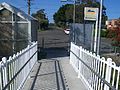
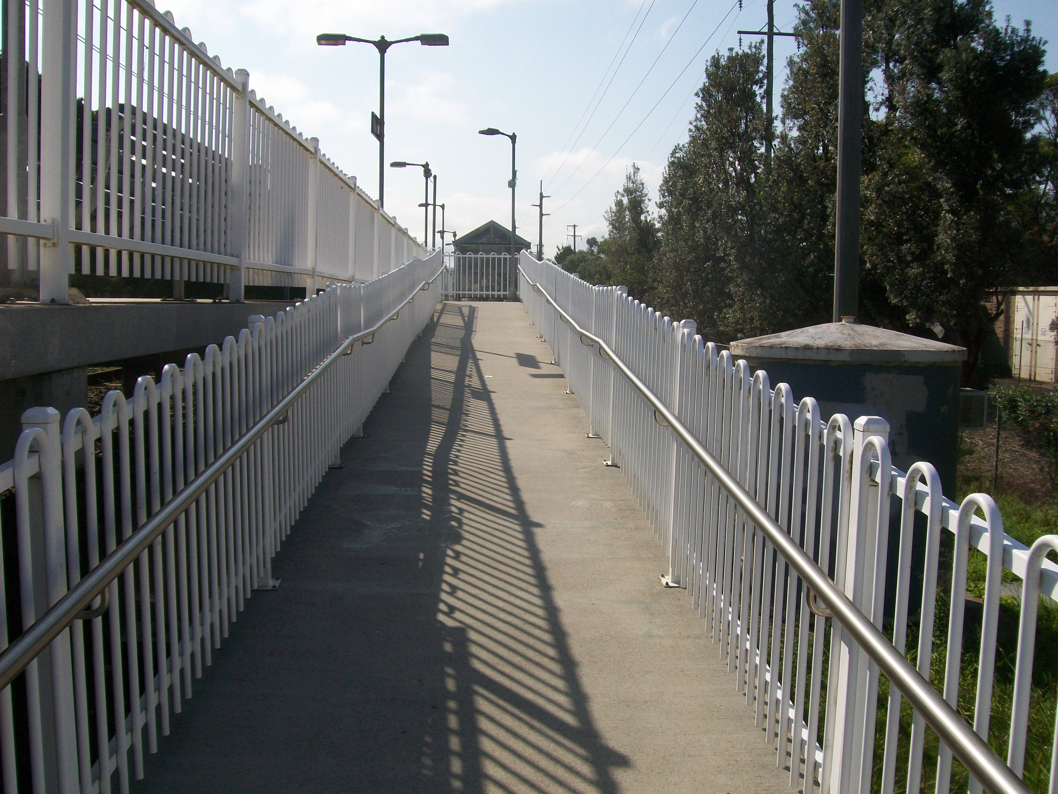
Minnamurra station has a side platform with near street level access, connected by a ramp to the streetside entrance. The ramp has an insufficiently shallow gradient to qualify it for Easy Access.
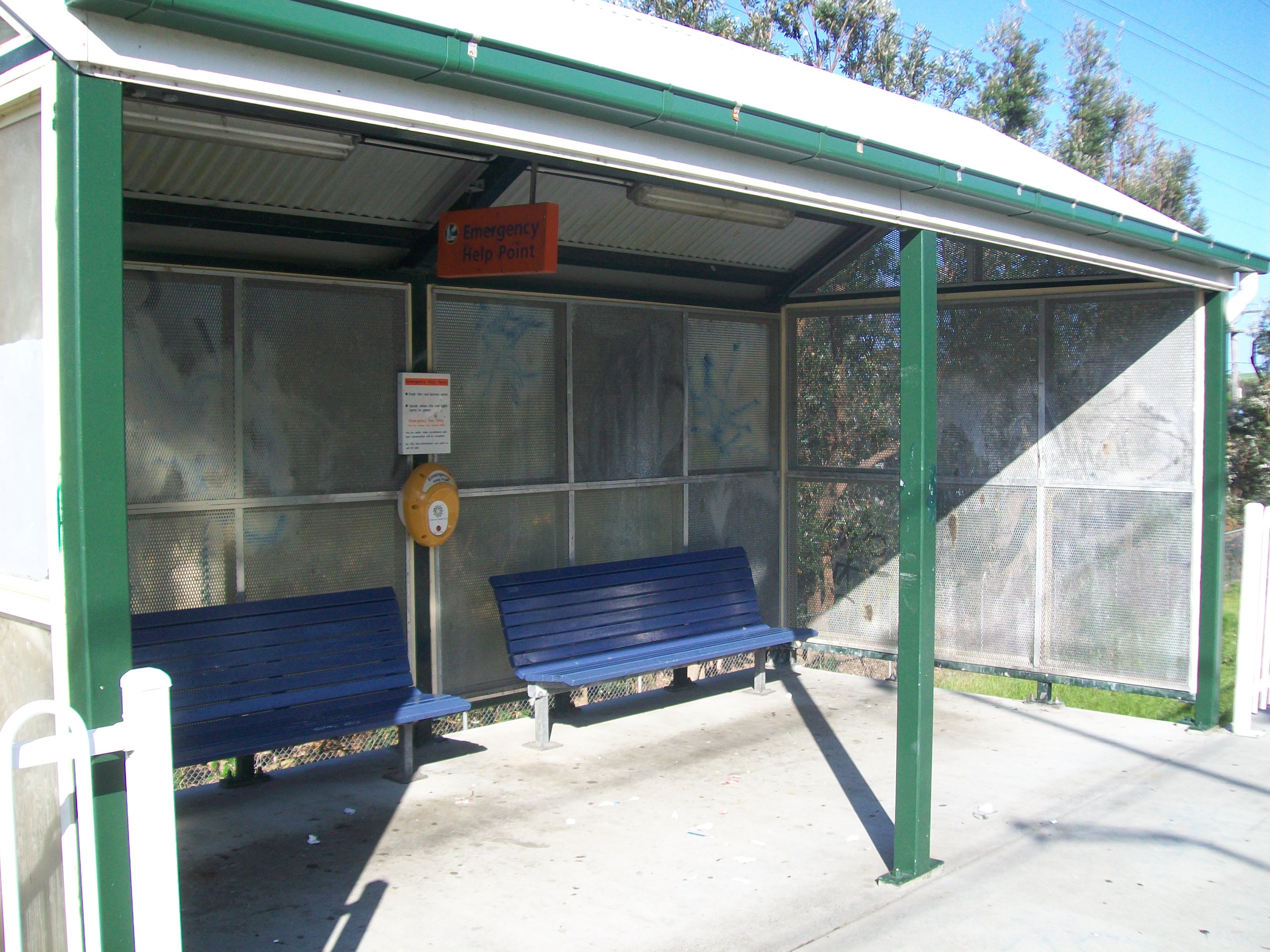
The platform includes a shelter, which has replaced a former red brick shelter that was once at the station. The station is never supervised and usually has one train an hour, increasing to two an hour during peak.
Platform Line Stopping Pattern Notes 
South Coast Line Intercity services to Kiama, Dapto, Wollongong and Sydney Terminal. Connecting Services at Kiama for Bomaderry Image Gallery
-
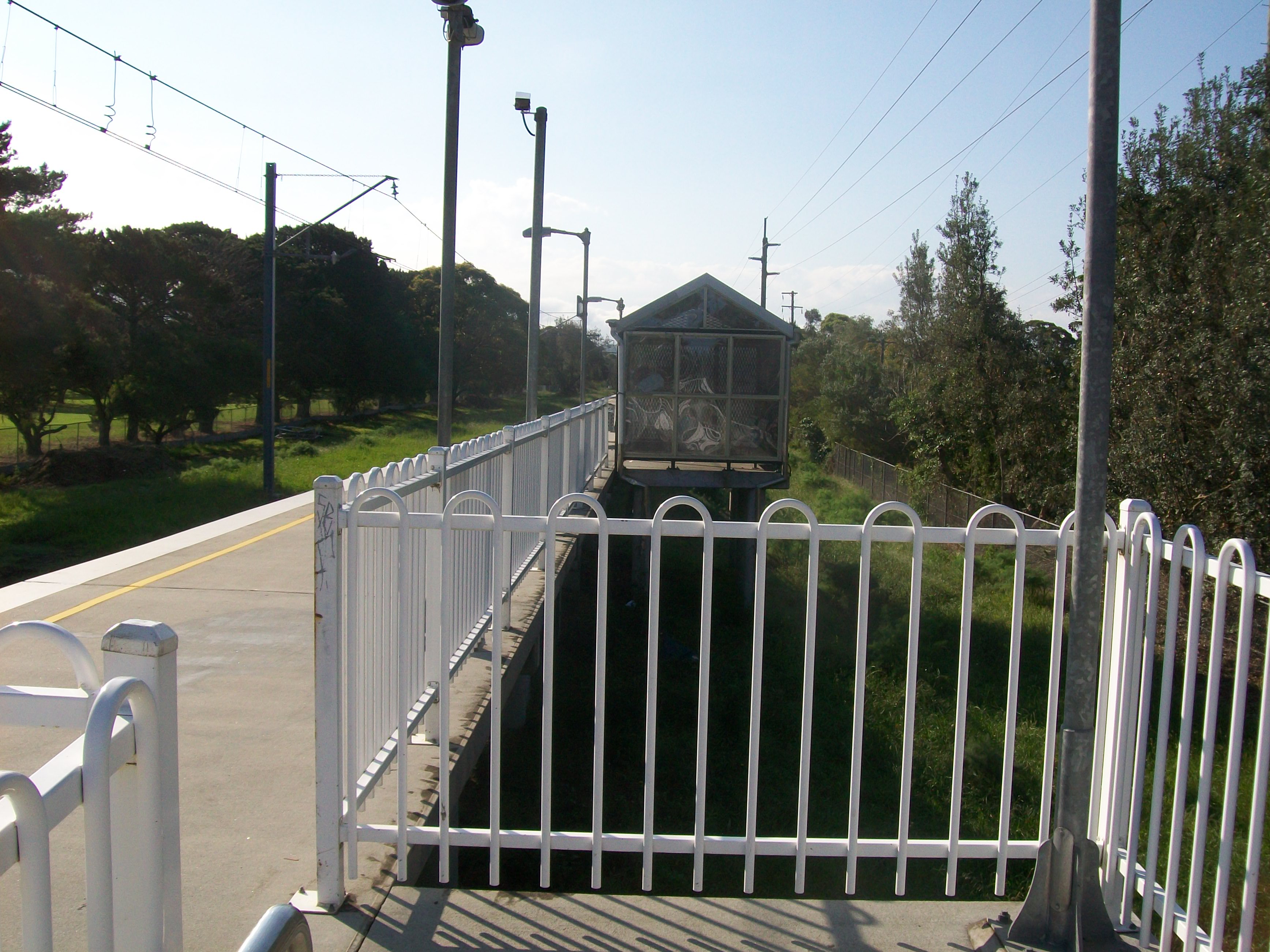
Looking north on the single platform
-
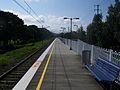
Looking north from the end of the platform
-
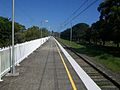
Looking south on the single platform
-
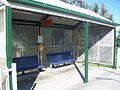
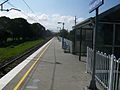
Covered waiting area on the platform
-
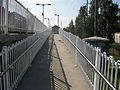
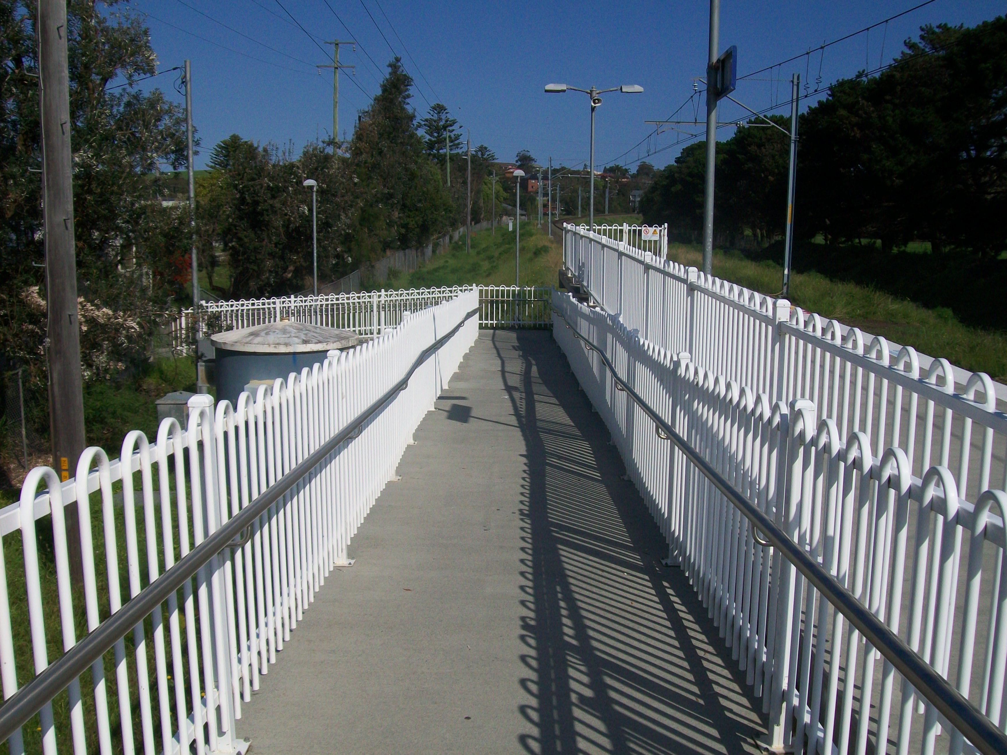
Ramp to platform
-

View of covered area on entering station
-
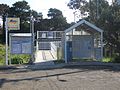
Station entrance and ticket machine
-
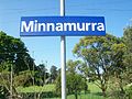
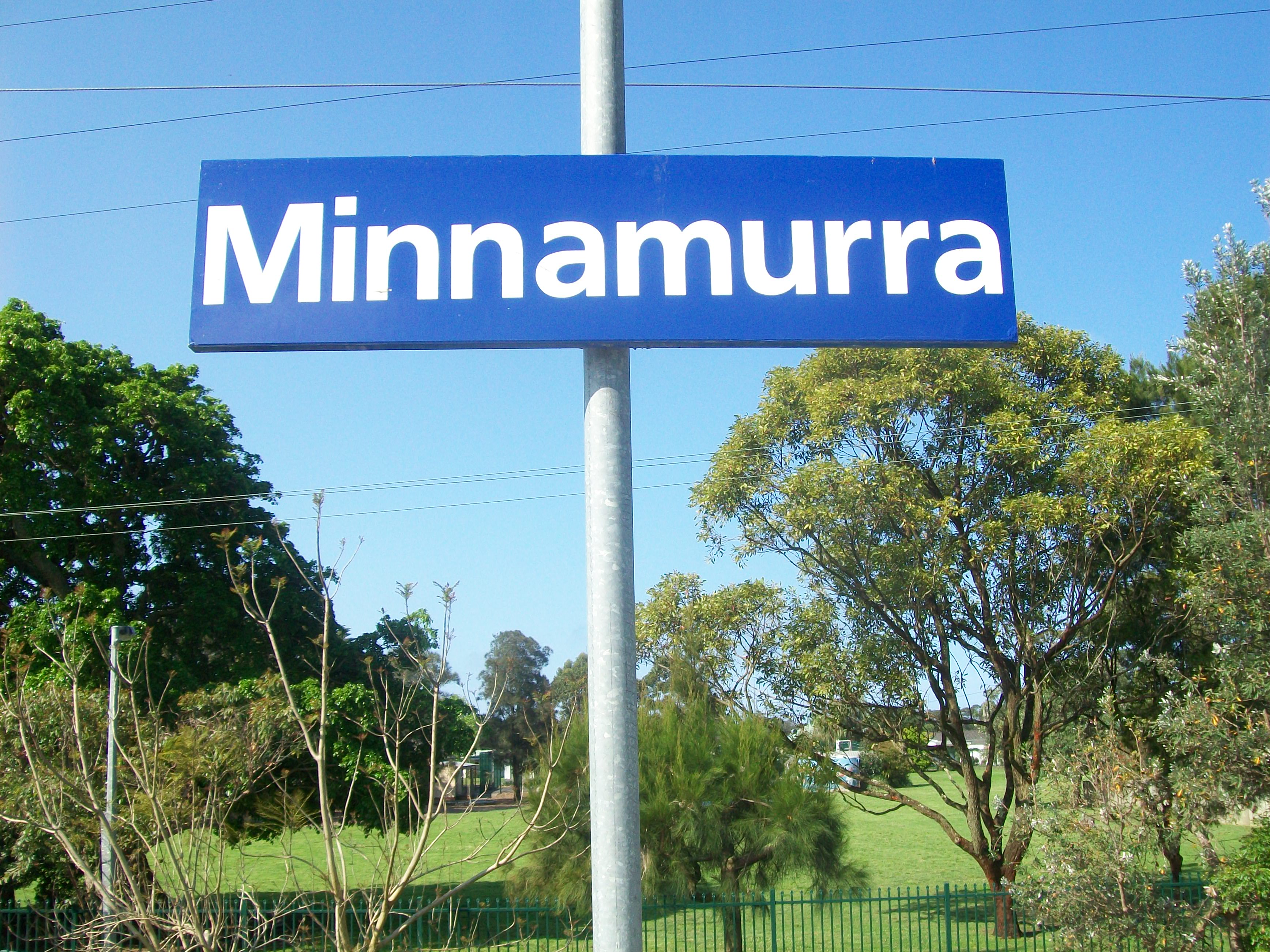
Platform Sign
-

Ramp on exiting
-
Exiting station
Neighbouring stations
Preceding station CityRail Following station towards Bomaderry (Nowra)South Coast Line towards CentralReferences
- ^ Bozier, Rolfe, "New South Wales Railways: Minnamurra Railway Station". Accessed 26 June 2007.
Coordinates: 34°37′31″S 150°51′08″E / 34.625280°S 150.852156°E
Categories:- Regional railway stations in New South Wales
- Railway stations opened in 1891
- Railway stations opened in 1943
-


Wikimedia Foundation. 2010.