- D1 motorway (Slovakia)
-
D1 Motorway
Diaľnica D1 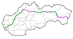
in operation under construction in planningRoute information Part of 


Length: 271 km (168 mi)
Planned: 517 km (321 mi)Major junctions From:  D2 in Bratislava
 D4 near Bratislava (planned)
 R1 near Trnava
 D3 near Žilina
To: M06 border with Ukraine (planned) Location Regions: Bratislava Region, Trnava Region, Trenčín Region, Žilina Region, Prešov Region, Košice Region Major cities: Bratislava, Trnava, Trenčín, Žilina, Martin, Poprad, Prešov, Košice Highway system D1 is a motorway (Slovak: diaľnica) in Slovakia. Its route is Bratislava (D2/D4) - Trnava (R1) - Trenčín (R2) - Púchov (R6) - Žilina (D3) - Martin (R3) - Poprad - Prešov (R4) - Košice (R4) - Michalovce - SK/UA border.
It forms part of the following European routes: E50, E58, E75, E571 and of the V.A Pan-European corridor (Trieste) - Bratislava - Žilina - Košice - Uzhorod - (Lviv)
As of December 2007, out of the total 517 km there were:
- 271 km in operation (16,6 km as a semi-highway)
- 45,2 km under construction
- 203,4 km in planning
With the exceptions of sections in Bratislava a vignette is required to use the motorway
Contents
Chronology
The first plans to connect Prague to Slovakia and Mukachevo in today's Zakarpattia Oblast in Ukraine, which was part of Czechoslovakia at that time, were in the 1930s. The construction of the motorway (freeway) began in the Czech part in the late 1930s, but in the Slovak part nothing was built. After the end of World War II, highway construction was abandoned, due to post-war reconstruction. But in the 1960s, traffic was growing very fast, and a new plan for a D1 highway was available soon, without the part in Zakarpattia Oblast, which became part of the USSR in 1945.
In the Czech part of Czechoslovakia construction work began in 1967. In the Slovak part it began in 1973 by the construction of the part Ivachnová - Liptovský Mikuláš, a 14 km long section in northern Slovakia, along with the construction of the Liptovská Mara dam. In 1972 construction of section from Bratislava to Senec began (it was D61 at that time) and in the 1970s extended to Trnava (total 36 km). The 19 km Prešov - Košice motorway was added in 1980. Until the Dissolution of Czechoslovakia in 1993, another 20 km were built - from L. Mikuláš to Hybe -, totalling some 52 km in the Slovak part, contrasting to 224 km in Czech part. D61 was built to the village of Horná Streda few kilometres behind Piešťany in 1988, with the total length of that section 42 km. Further 45 km were built after 1993 on D1, and another 27 km on D61, until D1 and D61 merged with each other to form the current D1 motorway.
In 1999, Dzurinda's government stopped or slowed down construction on unopened sections - around Sverepec, for example and stopped preparation for various others. Construction continued again since 2002. Construction works continue today, and the planned date for finishing the entire motorway from Bratislava to Košice varies. The most difficult section to construct will be between Žilina and Ružomberok, as there will be most of the tunnels on the entire motorway, including the longest one near Višňové. The motorway has also disputed planned section around Prešov, as there are disagreements over the planned routes.
There are plans to "finish" D1 between Bratislava and Košice in 2015 - with several important exceptions. Žilina and Prešov bypasses will be temporaly substituted by four-lane road through these towns and all tunnels between Žilina and Prešov will be opened only as two-lane tunnels with two-way traffic. Four-lane motorway connecting two largest towns in Slovakia will be finished at the earliest in 2018. .
D1 will be completed around year 2020, as 3+3 lane motorway from Bratislava to Trnava, 2+2 lane motorway from Trnava to Michalovce and 1+1 lane highway from Michalovce to SK/UA border.
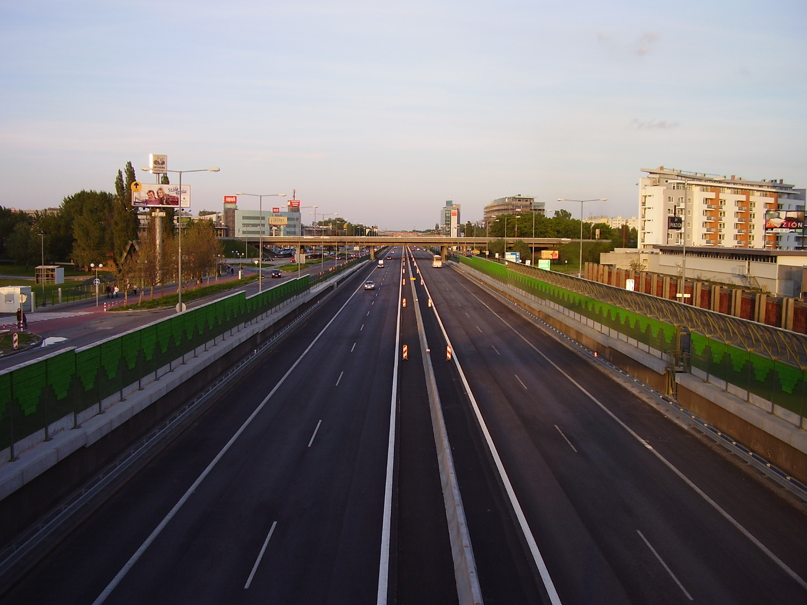
 D1 in Bratislava-Petržalka
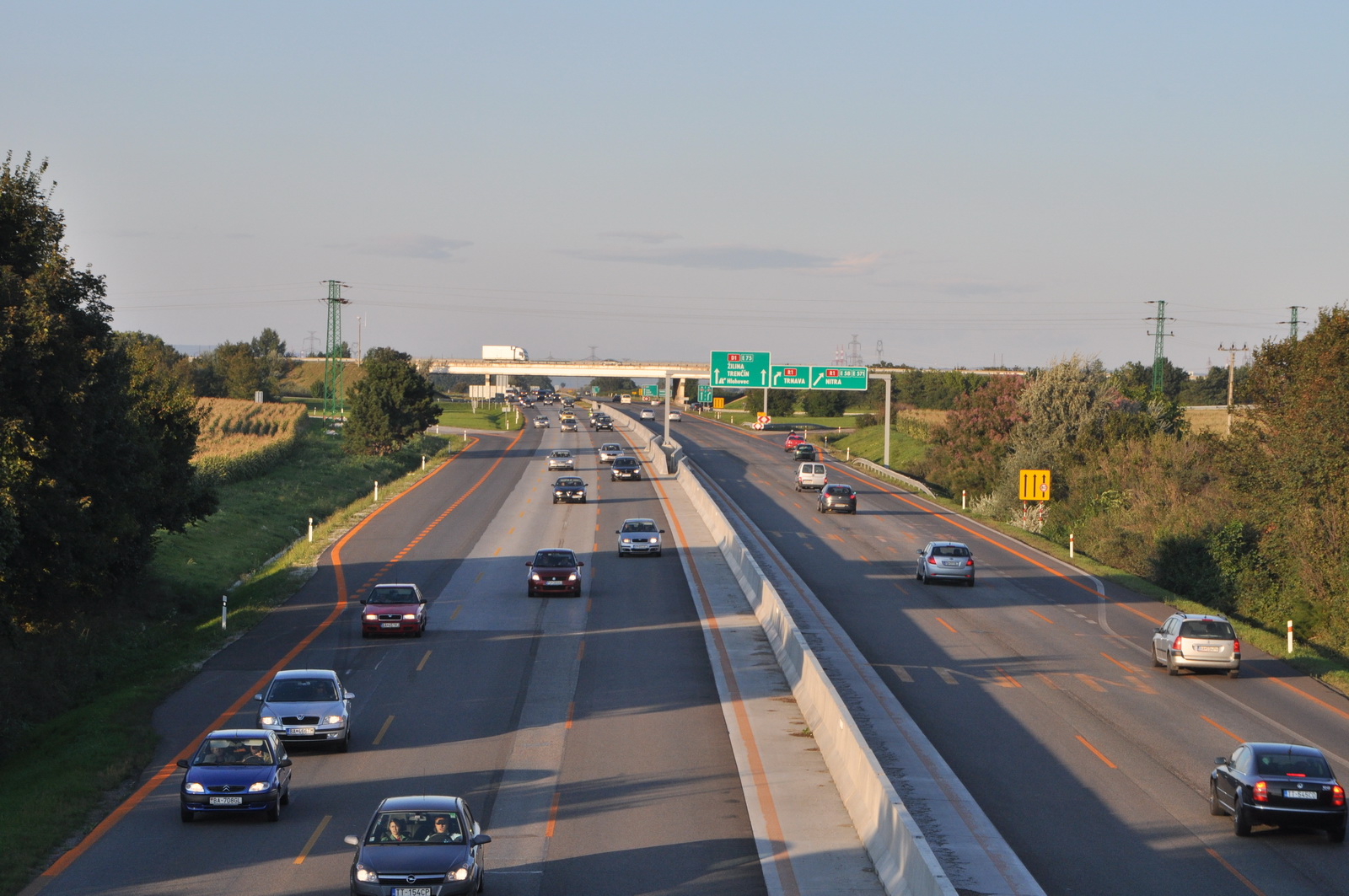
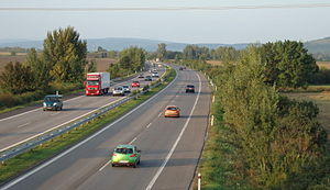 D1 motorway nearby Siladice village
 junction Beluša
 D1 near Sverepec
Sections of the motorway
As of May 2010, these sections were open:
Motorway section Length Opening Bratislava/D2 - Bratislava/Vajnory 12 km 1985 Bratislava/Vajnory - Sverepec 153 km 1972 Sverepec - Vrtižer 10 km 2010 Vrtižer - Hričovské Podhradie 13 km 2006 Ivachnová - Važec 60 km 1973 Važec - Mengusovce 12 km 2007 Mengusovce - Jánovce 25 km 2008 Jablonov - Studenec (half profile) 5,5 km 2011 Studenec - Beharovce 3,5 km 2010 Beharovce - Fričovce 14 km 2001 Svinia - Prešov/west 7 km 2010 Prešov/south - Budimír 19 km 1982 As of May 2010, these sections were under construction:
Motorway section Length Opening Jablonov - Studenec 5,5 km 2011 All sections from the west to the east, as of March 2011(including planned sections):
Motorway section Length Status Opening Bratislava/D2 - Bratislava/Vajnory 12 km open 1985–2005 Bratislava urban freeway Bratislava/Vajnory - Sverepec 153 km open 1972–2005 Bratislava - Považská Bystrica/south Sverepec - Vrtižer 10 km open 2010 Považská Bystrica bypass Vrtižer - Hričovské Podhradie 13 km open 2006–2007 Považská Bystrica/north - Žilina/west Hričovské Podhradie - Dubná Skala 24 km planned 2016 Žilina bypass Dubná Skala - Ivachnová 45 km planned 2014–2018 Žilina/east - Ružomberok Ivachnová - Važec 48 km open 1973–2000 Ružomberok - Vysoké Tatry Važec - Mengusovce 12 km open 2007 Vysoké Tatry "bypass" Mengusovce - Poprad-Tatry Airport 8 km open 2009 Vysoké Tatry "bypass" Poprad-Tatry Airport - Jánovce 18 km open 2008 Poprad bypass Jánovce - Jablonov 18,5 km planned 2013 between Poprad and Branisko Jablonov - Studenec 5,5 km open(half profile) 2011 between Poprad and Branisko Studenec - Beharovce 3,5 km open 2010 between Poprad and Branisko Beharovce - Fričovce 14 km open 2001–2003 Branisko bypass Fričovce - Svinia 11 km planned 2014 between Branisko and Prešov Svinia - Prešov/west 7 km open 2010 between Branisko and Prešov Prešov/west - Prešov/south 7 km planned 2014 Prešov bypass Prešov/south - Budimír 19 km open 1982–1988 Prešov - Košice Budimír - Košické Oľšany 6 km planned 2013 Košice bypass Košické Oľšany - Pozdišovce 40 km planned 2013–2018 Košice - Michalovce Pozdišovce - border with Ukraine 43 km planned 2020 Michalovce - Ukraine Bridges and viaducts
This is a list of bridges and viaducts as seen when moving from Bratislava:
 Viaduct Považská Bystrica
 Bridge near Podtureň
- Ovsište (567 m)
- Prístavný most (1080 m)
- Prievoz (1756 m)
- Horná Streda (772 m)
- Beckov (336 m)
- Drietoma (238 m)
- Súčanka (404 m / 486 m)
- Újazd (486 m / 490 m)
- Kočkovský kanál (187 m)
- Nosický kanál (227 m)
- Ladce (189 m / 186 m)
- Pružinka (902 m)
- Sverepec I (443 m / 480 m)
- Sverepec II (315 m / 310 m)
- Kunovec (open July 2010)
- Galanovec (open July 2010)
- Matúška (open July 2010)
- Považská Bystrica (1444 m, open 30th May 2010)
- Hričovský kanál (1695 m, July 2010)
- Vrtižer (open July 2010)
- Plevník-Drienové
- Predmier (2 lanes)
- Dolný Hričov (1804 m, planned, open 2012?)
- Lietavská Lúčka (1091 m, planned, open 2012?)
- Dubná Skala (planned)
- Turčianské Kľačany (422 m, planned)
- Turany (planned)
- Krpeľany (planned)
- Kraľovany (planned)
- Stankovany (planned)
- Hubová I (planned)
- Hubová II (planned)
- Lisková (planned)
- Podtureň (1038 m)
- Jamníček (179 m)
- Belá (308 m)
- Dovalovec (534 m)
- Hybica (571 m / 565 m)
- Východná (380 m)
- Jánošiková studnička (381 m)
- Belianský potok (347 m)
- Čierny jarok (184 m)
- Važec (638 m, open 2007?)
- Štrba (open 2007?)
- Pod Skalkou (open 2008)
- Levoča (planned)
- Spišský Hrhov (planned)
- Beharovce (225 m, 2 lanes)
- Studenec (102 m, 2 lanes)
- Pongrácovce (343 m, 2 lanes)
- Fričovce (407 m)
- Malá Svinka (255 m, open 2008)
- Malý Šariš (494 m, open 2008)
Tunnels
This is a list of tunnels as seen when moving from Bratislava:
- Ovčiarsko (2275 m, planned, open 2012?)
- Žilina (651 m, planned, open 2012?)
- Višňové (7460 m, planned, open 2012?)
- Šútovo (400 m, planned, open 2012?)
- Malá Fatra (280 m, planned, open 2012?)
- Rojkov (1550 m, planned, open 2012?)
- Havran (2702 m, planned, open 2012?)
- Čebrať (2080 m, planned, open 2012?)
- Lučivná (250 m, open nov/dec 2007)
- Bôrik (999 m, open 2009)
- Šibenik (600 m, planned, 2012?)
- Branisko (4975 m, 2 lanes)
- Prešov (2520 m, planned, open 2014?)
- Orechový les (670 m, planned)
- Dargov (1050 m, planned)
Notes
Tunnels:
- Šútovo, Malá Fatra and Rojkov tunnels - possibly replaced by the Korbeľka Tunnel (5700 m, planned)
- Orechový les - only unofficial name
Gallery
-

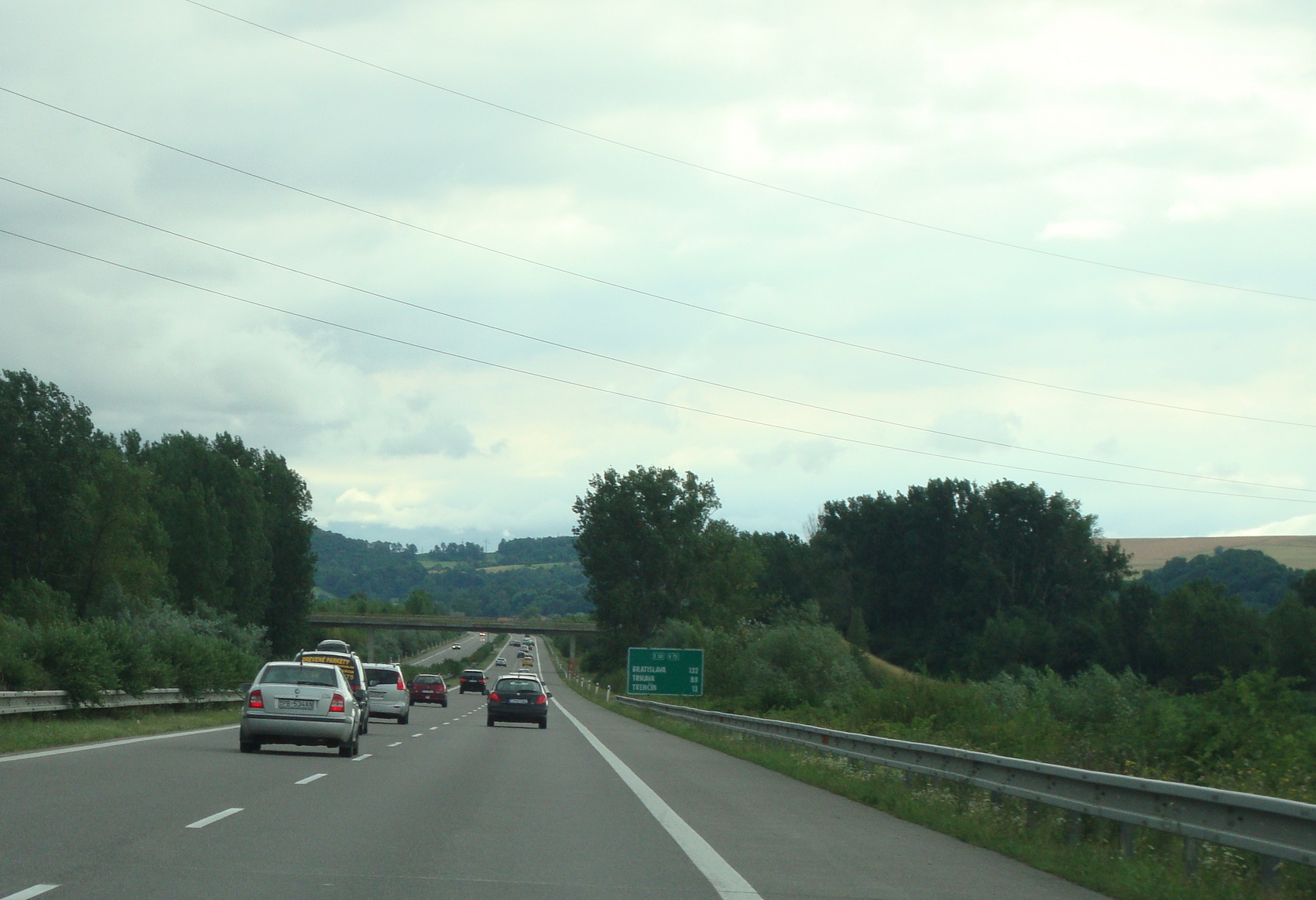
D1 motorway near Dubnica nad Váhom
-

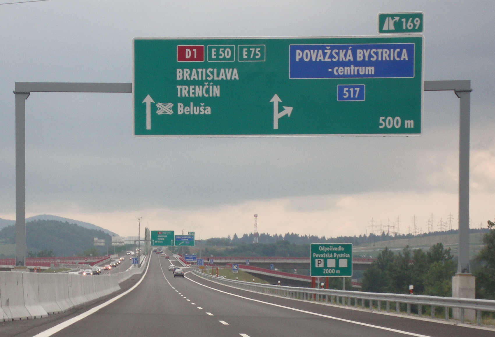
D1 motorway exit Považská Bystrica
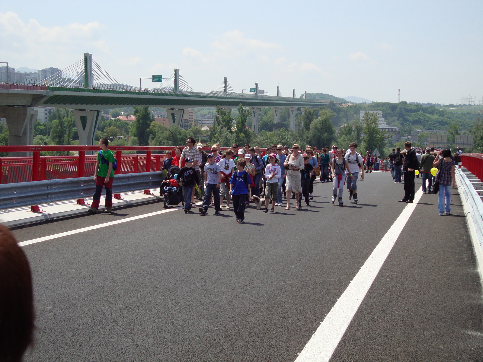
-

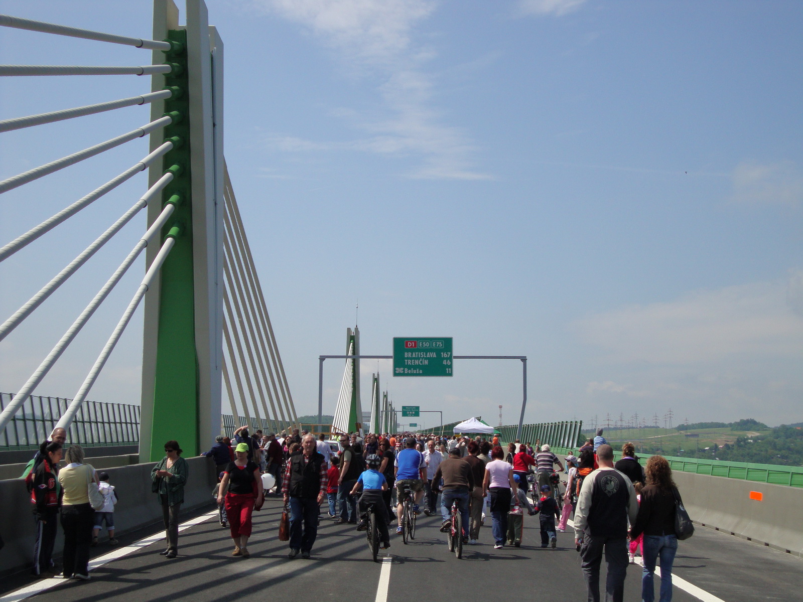
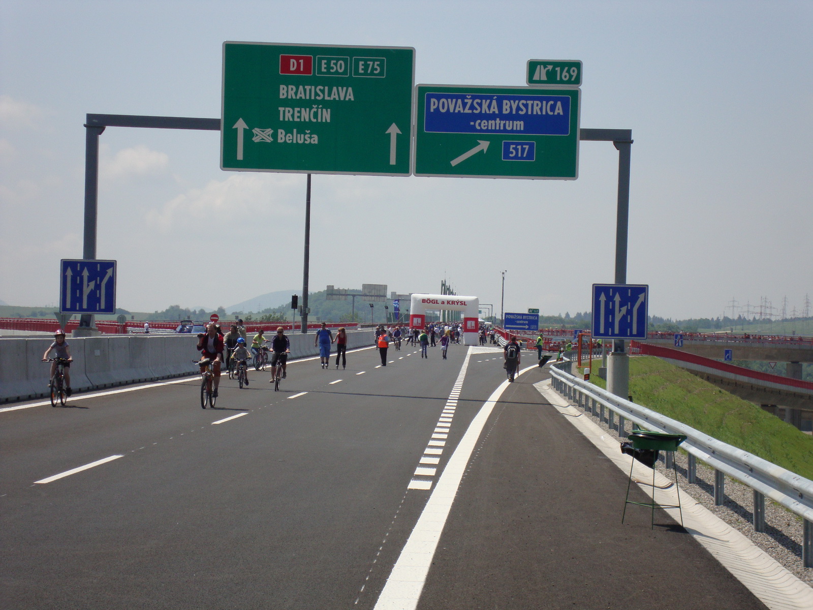
opening of the D1 motorway viaduct in Povazska Bystrica
-

opening of the D1 motorway viaduct in Povazska Bystrica
-

opening of the D1 motorway viaduct in Povazska Bystrica
See also
External links/References
- Exit list of Highway D1 (English)
- National Motorway Company (Slovak)
Highways in Slovakia Motorways 
Expressways Categories:- Roads in Slovakia
- Proposed roads


Wikimedia Foundation. 2010.