- Hudson Place (Hoboken)
-
County Route 736
Hudson Place Route information Length: 0.05 mi[1] (0.08 km) Major junctions West end: Hudson Street East end: Hoboken Terminal Highway system County routes in New Jersey
500-series • County routes in Hudson County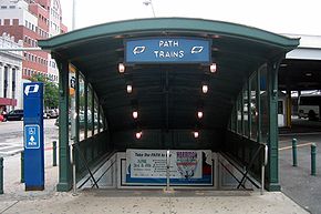 PATH kiosk with Hudson Place and bus terminal in background
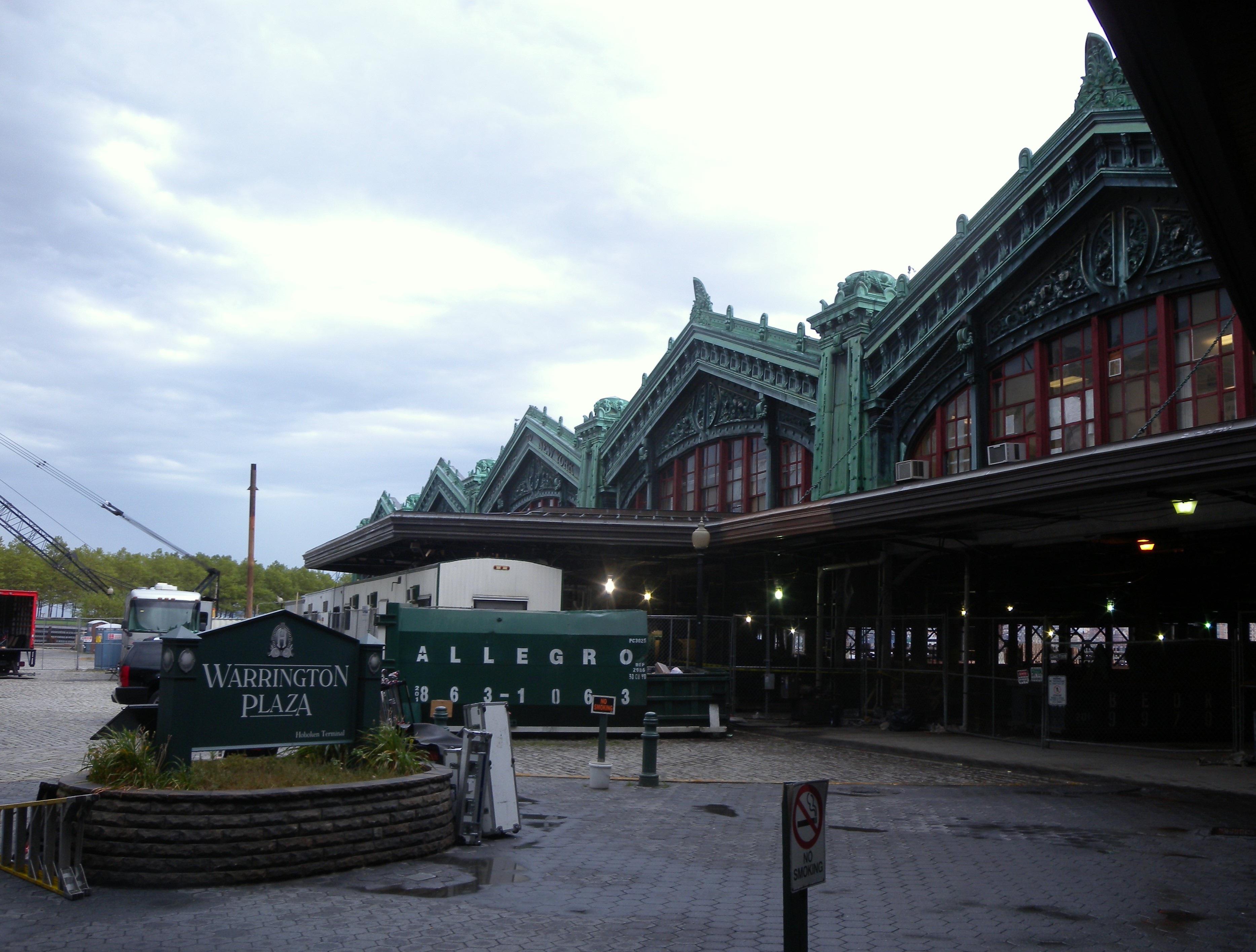
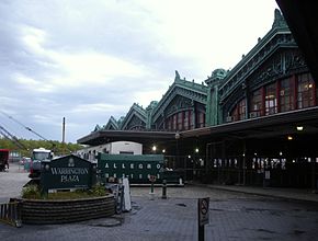 Hudson Place ends at main entrance to Hoboken Terminal
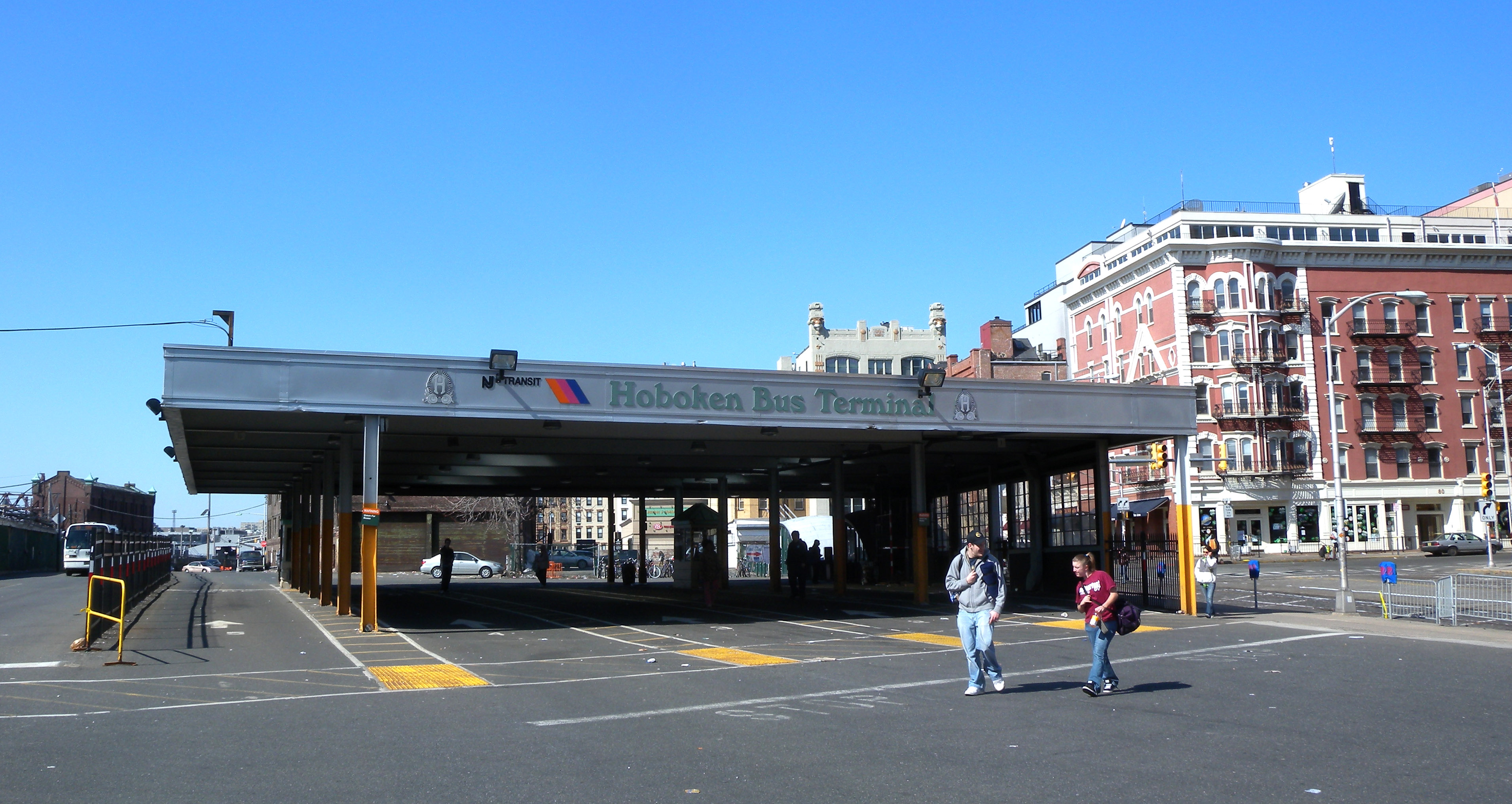
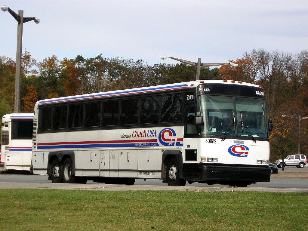
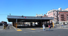 Bus terminal
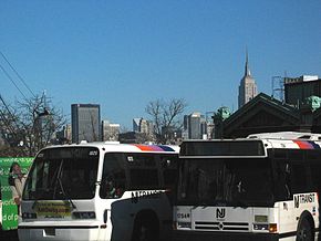 Facing east
Hudson Place, designated Hudson County Route 736, is a 0.05 mile (0.08 km) long street in Hoboken, New Jersey that runs along the north side of Hoboken Terminal, providing the only automobile access to the major transportation hub. The street ends at Warrington Plaza, where the original ferry slips and main entrance to the waiting room of the station are located.[2] The Hudson River Waterfront Walkway crosses the foot of the street.
Contents
Transit hub
For many years Hudson Place functioned similarly to Exchange Place farther down the Hudson waterfront as a terminus for many trolley lines which crisscrossed Hudson County. One of the few cobbled streets left within it, the streetcar tracks can still be seen.[3] At one time more than ten lines operated by the Public Service Railway originated and terminated here[4], including the Hoboken Elevated. The last to depart was the #7 Jackson on August 7, 1949. The current bus terminal was built soon after bustitution was completed.[5]
Bus service
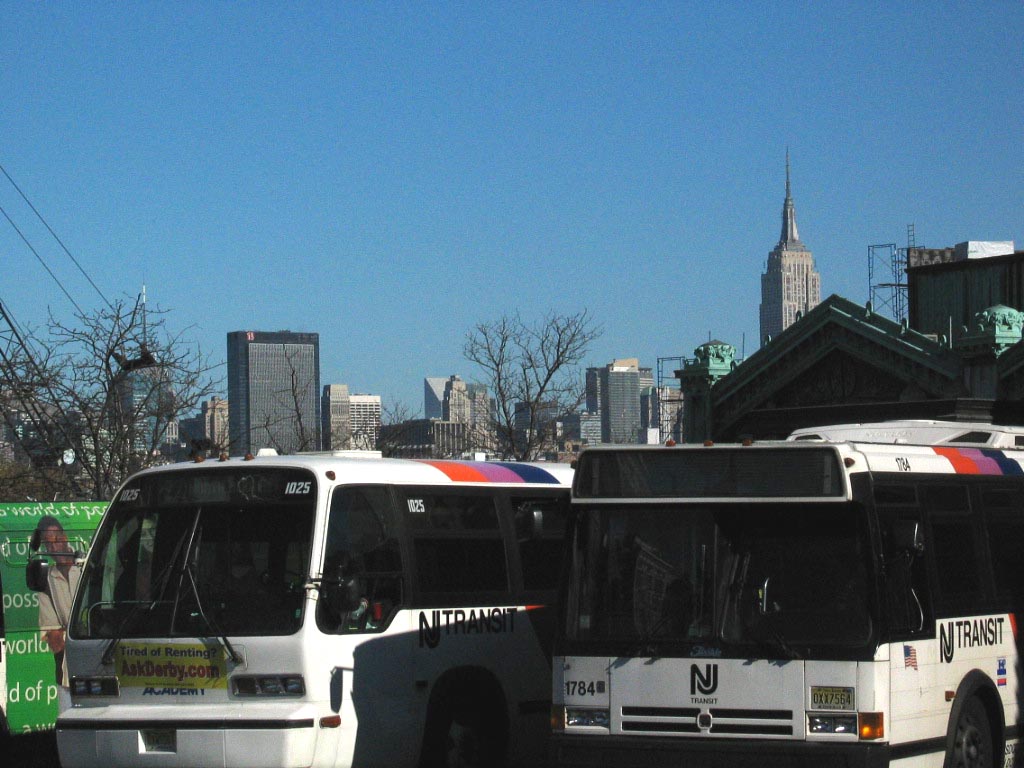
Current New Jersey Transit bus operations are as follows:
Route Destination Major streets 22
NJT[6]Nungessers
North BergenWashington Street
14th Street Viaduct
New York/Bergenline22X
(peak service only)
NJT[7]Bergenline HBLR station
48th StObserver Highway
Paterson Plank Road
9th-Congress HBLR station
New York or Bergenline23
(peak service only)
NJT[8]Nungesser's
North BergenPort Imperial (HBLR station)
Boulevard East64
(peak service only)Lakewood Route 18 68
(peak service only)
NJT[9]Old Bridge Route 18 85
NJT[10]Harmon Meadow
SecaucusPaterson Plank Road
9th-Congress HBLR station
Transfer Station87
NJT[11]Greenville
Gates Avenue
Jersey CityPaterson Plank Road
9th-Congress HBLR station
Central Avenue
Journal Square
MLK Drive
Old Bergen Road89
NJT[12]Nungesser's
North BergenWashington Street
14th Street
Willow Ave/Park Ave
48th St
Bergenline HBLR station
Bergenline Avenue126
NJT[13]Port Authority Bus Terminal
42nd Street
ManhattanWashington Street
Willow Avenue
Lincoln TunnelSee also
References
- ^ "Hudson County 736 straight line diagram" (PDF). New Jersey Department of Transportation. http://www.state.nj.us/transportation/refdata/sldiag/09000736__-.pdf. Retrieved 2009-08-15.
- ^ Hudson County New Jersey Street Map. Hagstrom Map Company, Inc. 2008. ISBN 0-8809-7763-9.
- ^ [1] Forgetten Hoboken w/ photo of Hudson Place tracks]
- ^ List of Public Service Railway lines. (2009, October 30). In Wikipedia, The Free Encyclopedia. Retrieved 23:31, November 13, 2009, from http://en.wikipedia.org/w/index.php?title=List_of_Public_Service_Railway_lines&oldid=322871098
- ^ French, Kenneth, Images of Rail: Railroads of Hoboken and Jersey City,Arcadia Publishing, 2002, p125, ISBN 978073850966-2
- ^ NJT bus 22 schedule
- ^ NJT bus 22 schedule
- ^ NJT bus 23 schedule
- ^ NJT bus 68 schedule
- ^ NJT bus 85 schedule
- ^ NJT bus 87 schedule
- ^ NJT bus 89 schedule
- ^ NJT bus 126 schedule
New Jersey Transit Bus Operations Routes 1-99 • 100-199 • 300-399 • 400-449 • 450-499 • 500-549 • 550-599 • 600–699 • 700-799 • 800-880 • Wheels Suburban TransportationOther New Jersey Transit-purchased bus fleet • Newark Light Rail • PABCO TransitCoordinates: 40°44′10″N 74°01′49″W / 40.73601°N 74.030195°W
Categories:- Streets in Hudson County
- New Jersey streetcar lines
- Bus transportation in New Jersey
- New Jersey Transit Bus Operations
- Transit hubs serving New Jersey
- New Jersey geography stubs


Wikimedia Foundation. 2010.