- County Avenue (Hudson County)
-
County Route 653
County Road, County Avenue Route information Length: 3.01 mi[1] (4.84 km) Major junctions South end:  US 1/9 in Jersey City
North end:  CR 681 in Secaucus
Highway system County routes in New Jersey
500-series • County routes in Hudson County←  CR 652
CR 654  →
→← CR 654
CR 656  →
→← CR 656
CR 658  →
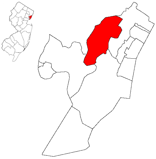
→ Secaucus is highlighted in red. County Avenue is located in the east central part of town.
County Avenue is the central eastern district of Secaucus in Hudson County, New Jersey. Its northern end is at the intersection of Paterson Plank Road near the Secaucus Municipal Government Center, the Secaucus Plaza central business district and Harmon Meadow Plaza. Its southern end is near Secaucus Junction, a major train station for New Jersey Transit rail operations. Along the thoroughfare are institutional, manufacturing, distribution, and residential buildings. County Avenue runs parallel to the New Jersey Turnpike Eastern Spur, the nearby Alexander Hamilton Service Area only accessible from its southbound lanes. The Hudson County Meadowview Psychiatric Hospital, the United Parcel Service distribution warehouse[2] and the New Jersey Department of Motor Vehicles[3] are prominent landmarks of County Avenue. Secaucus Road is the main road to intersect with County Avenue travelling west to Harmon Cove or east to Transfer Station.[4]
Along with County Road in Jersey City, County Avenue is part of the 3.01 miles (4.84 km) County Route 653 one of only two roads that join the two municipalities separated by the Croxton Yards and the New Jersey Meadowlands wetlands area that is site of the Metropolitan Bulk Mail Facility. The avenue and the road are joined at the intersection of County Route 655, or New County Road which travels south to become County Route 657, or County Road Extension, which ends at Snake Hill.
 South of Ave & Rd intersection
References
- ^ "Hudson County 653 straight line diagram" (PDF). New Jersey Department of Transportation. http://www.state.nj.us/transportation/refdata/sldiag/09000653__-.pdf. Retrieved 2009-08-02.
- ^ UPS location
- ^ [http://www.state.nj.us/.../Inspections/FindStateOperated.htm NJ DMV Inspection Stations
- ^ Hudson County New Jersey Street Map. Hagstrom Map Company, Inc. 2008. ISBN 0-88097-763-9.
External links
- 40°44′55″N 74°03′39″W / 40.7487°N 74.0608°W - Southern terminus of CR 653
- 40°47′17″N 74°03′16″W / 40.7880°N 74.0545°W - Northern terminus of CR 653
Categories:- Secaucus, New Jersey
- Neighborhoods in Hudson County, New Jersey
- Transportation in Hudson County, New Jersey
- Streets in Hudson County
- New Jersey road stubs


Wikimedia Foundation. 2010.