- Conch Key, Florida
-
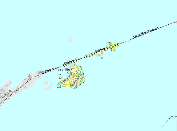
Conch Key, Florida — Unincorporated area — U.S. Census Bureau map of Duck Key CDP showing boundaries which include Conch Key
Coordinates: 25°44′49″N 80°56′24″W / 25.747°N 80.94°W Country  United States
State  Florida
County Monroe Elevation 3 ft (1 m) Time zone Eastern (EST) (UTC-5) – Summer (DST) EDT (UTC-4) Conch Key is an island and unincorporated community in Monroe County, Florida, United States. It is located in the middle Florida Keys. U.S. 1 (the Overseas Highway) crosses the key at approximately mile markers 62-63, between Long Key and Duck Key. It is part of the census-designated place of Duck Key.
Little Conch Key, at approximate mile marker 62.2 is also known as Walker's Island.[1]
Geography
It is located at 24°47′23″N 80°53′22″W / 24.789666°N 80.889437°W, its elevation 3 feet (1 m).[2]
References
Coordinates: 24°47′23″N 80°53′22″W / 24.789666°N 80.889437°W
Municipalities and communities of Monroe County, Florida Cities 
Village CDPs Unincorporated
communitiesAnglers Park | Bay Point | Chatham | Conch Key | El Chico | Garden Cove | Grayvik | Jewfish | Key Haven | Newport | Pirates Cove | Rock Harbor | Sugarloaf Shores | Summerland Key | Sunset Point | Thompson | Trail Center
Ghost towns Flamingo | Fort Jefferson | Indian Key | Perky | Pigeon Key | Pinecrest | Snake Bight

This Monroe County, Florida location article is a stub. You can help Wikipedia by expanding it.