- Chiverton Cross
-
Coordinates: 50°16′40″N 5°09′47″W / 50.277712°N 5.16293°W
 The A30 trunk road and Chiverton Cross roundabout
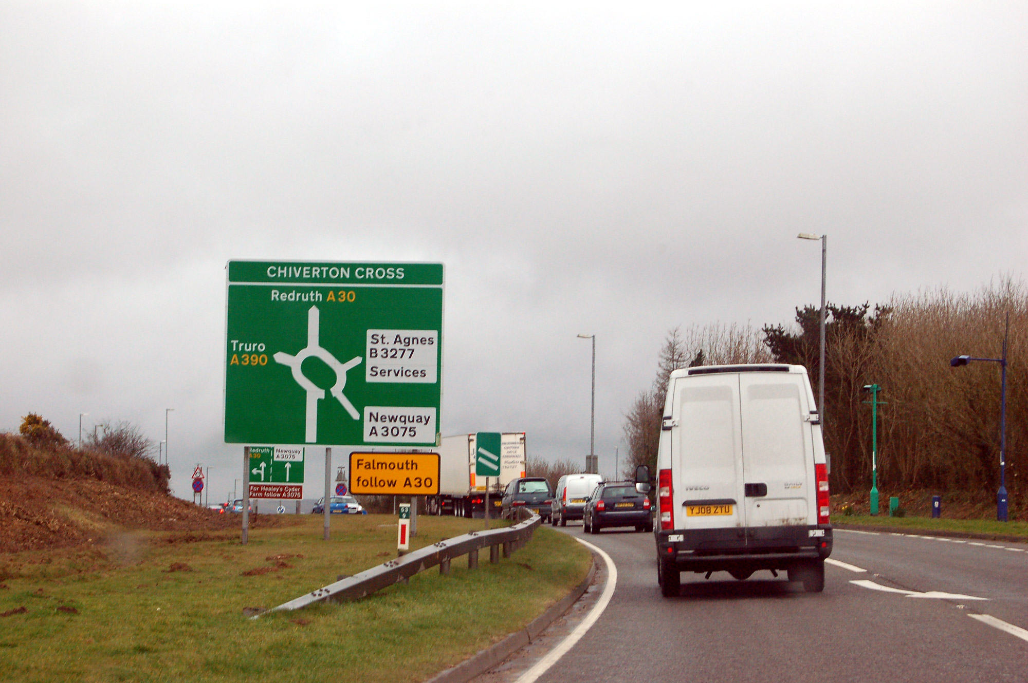
 Approaching Chiverton Cross from the east on the A30 road
Chiverton Cross is a road junction in Cornwall, United Kingdom, about four miles (6 kilometres) north-east of Redruth and five miles (8 km) west of Truro at OS grid reference OS grid ref SW747469.[1]
The scattered settlement of Three Burrows lies south of Chiverton Cross, a busy traffic roundabout at the intersection of the A390 trunk road from Truro, the east-west A30 trunk road, and the B3277 to St Agnes. To the west is Two Burrows.
Westward from the roundabout, the A30 is a dual carriageway road: to the east is a 7-mile single carriageway section. To the south-east, the A390 is also single carriageway.[2] This leads to congestion at busy times of day.[3] Improvement works by Cornwall Council since May 2010 has caused various carriageway closures westbound between Chiverton and Avers Roundabout, north of Redruth and eastbound and westbound between Chiverton and Chybucca, the junction for Perranporth and Truro.
There are motorists' services by the roundabout including the Chiverton Arms pub, a Starbucks coffee shop (formerly a Little Chef restaurant) and two filling stations.[4]
Immediately north of the roundabout is St Peter's church, Mithian.
References
- ^ Ordnance Survey, 1:25000 'Explorer' map, sheet 106, ISBN 978-0-319-24016-9
- ^ Ordnance Survey, 1:25000 'Explorer' map, sheet 106, ISBN 978-0-319-24016-9
- ^ [1]County Gazette newspaper, 5th January 2010. Accessed March 2010
- ^ [2] Starbucks store locator
Geography of Cornwall Cornwall Portal Unitary authorities Major settlements Bodmin • Bude • Callington • Camborne • Camelford • Falmouth • Fowey • Hayle • Helston • Launceston • Liskeard • Looe • Lostwithiel • Marazion • Newlyn • Newquay • Padstow • Par • Penryn • Penzance • Porthleven • Redruth • Saltash • St Austell • St Blazey • St Columb Major • St Ives • St Just-in-Penwith • St Mawes • Stratton • Torpoint • Truro • Wadebridge
See also: Civil parishes in CornwallRivers Topics History • Status debate • Flag • Culture • Places • People • The Duchy • Diocese • Politics • Hundreds/shires • Places of interest • full list...Categories:- Villages in Cornwall
- Cornwall geography stubs

Wikimedia Foundation. 2010.