Chestnut Mountain (Caldwell County, North Carolina)
- Chestnut Mountain (Caldwell County, North Carolina)
-
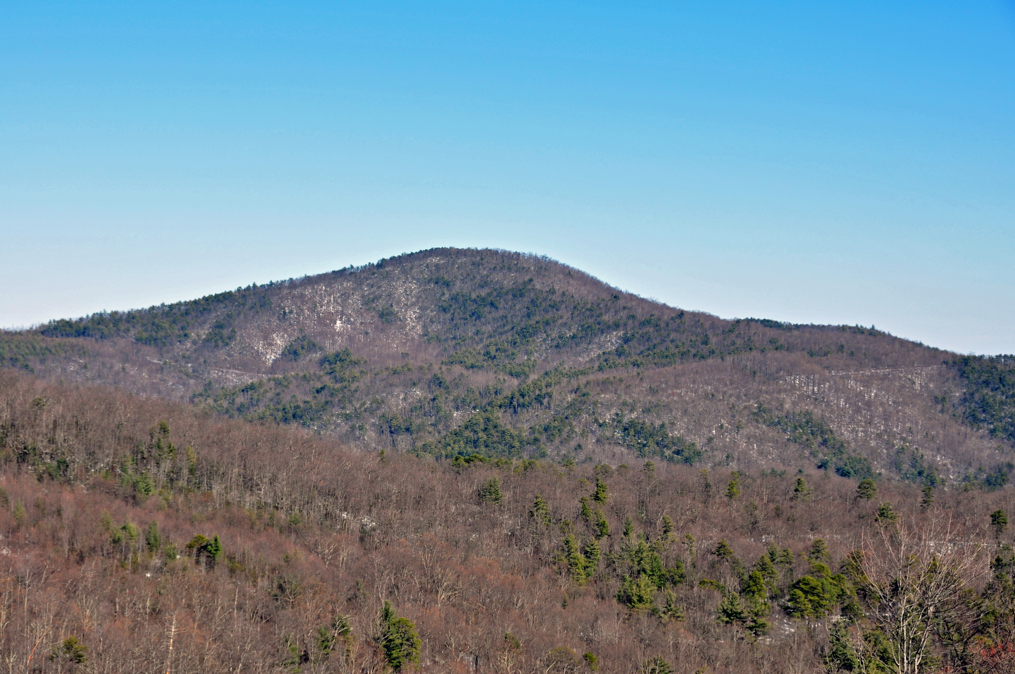
Chestnut Mountain[1] is a mountain in the North Carolina High Country and wholly in the Pisgah National Forest. It's elevation reaches 3,314 feet (1,010 m) and it also marks the corner between Avery, Burke, and Caldwell counties. The mountain generates feeder streams for the Catawba River.
References
Categories: - Mountains of North Carolina
- Protected areas of Avery County, North Carolina
- Protected areas of Burke County, North Carolina
- Protected areas of Caldwell County, North Carolina
- Pisgah National Forest
Wikimedia Foundation.
2010.
Look at other dictionaries:
Chestnut Mountain (disambiguation) — Chestnut Mountain may also refer to: Chestnut Mountain (Caldwell County, North Carolina), a mountain in Caldwell County, North Carolina Chestnut Mountain (Transylvania County, North Carolina), a mountain in Transylvania County, North Carolina… … Wikipedia
National Register of Historic Places listings in Buncombe County, North Carolina — Map of all coordinates from Google Map of all coordinates from Bing … Wikipedia
National Register of Historic Places listings in Forsyth County, North Carolina — Map of all coordinates from Google Map of all coordinates from Bing … Wikipedia
National Register of Historic Places listings in Cleveland County, North Carolina — Map of all coordinates from Google Map of all coordinates from Bing … Wikipedia
National Register of Historic Places listings in Ashe County, North Carolina — Map of all coordinates from Google Map of all coordinates from Bing … Wikipedia
National Register of Historic Places listings in Watauga County, North Carolina — Map of all coordinates from Google Map of all coordinates from Bing … Wikipedia
Ashe County, North Carolina — Infobox U.S. County county = Ashe County state = North Carolina map size = 250 founded = 1799 seat = Jefferson | area total sq mi =427 area water sq mi =1 area percentage = 0.15% census yr = 2000 pop = 24384 density km2 =22 web =… … Wikipedia
National Register of Historic Places listings in Stokes County, North Carolina — Map of all coordinates from Google Map of all coordinates from Bing … Wikipedia
Cumberland County, North Carolina — Seal … Wikipedia
National Register of Historic Places listings in Henderson County, North Carolina — Map of all coordinates from Google Map of all coordinates from Bing … Wikipedia