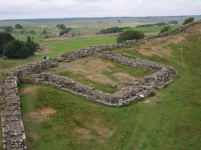
- Milecastle 1
-
Coordinates: 54°59′01″N 1°33′02″W / 54.983494°N 1.550492°W
Milecastle 1 
 Milecastle 1
 Milecastle 1 shown within Tyne and Wear
OS grid reference NZ300660 List of places: UK • England • Tyne and Wear 
This article is part of the series on:
Military of ancient Rome (portal)
753 BC – AD 476Structural history Roman army (unit types and ranks, legions, auxiliaries, generals) Roman navy (fleets, admirals) Campaign history Lists of wars and battles Decorations and punishments Technological history Military engineering (castra, siege engines, arches, roads) Political history Strategy and tactics Infantry tactics Frontiers and fortifications (limes, Hadrian's Wall) Milecastle 1 (Stott's Pow) was a milecastle of the Roman Hadrian's Wall. It was located near the (now disappeared) valley of Stott's Pow. Its remains are covered over, and are located beneath the recreation ground at Miller's Dene.[1] Early excavations and investigations of Turret 0B were mistakenly interpreted as Milecastle 1.[2]
Contents
Construction
Milecastle 1 was a short-axis milecastle of unknown gateway type. Short-axis milecastles were thought to have been constructed by the legio II Augusta who were based in Isca Augusta (Caerleon).[3]
Excavations and investigations
- 1732 - Horsley recorded the milecastle as short-axis and also its proximity to Stott's Pow.[4]
“ On the top of the rise about 80 yds from the brook (Stott's Pow) is the site of the first milecastle. The ground is under tillage, but its slightly elevated surface, (has a) number of small stones... sprinkled over it... ” - 1852-4 - MacLauchlan surveyed the milecastle's position and recorded it as a short-axis milecastle.[6]
- 1928 - F G Simpson tested the site and found only Roman occupation soil and debris remained, assuming that even the foundations had been robbed away. Simpson measured from outside edge of the east gate of Segedunum to the centre of Milecastle 1 at 1,443 yards (1,319 m). His measurements between the centres of Milecastle 1 and Milecastle 2 was ed 1,453 yards (1,329 m).[5]
- 1947 - The recreation ground which now covers the site of Milecastle 1 was leveled in 1947. Part of the "Wall Ditch" and traces of the milecastle were still according to Grace Simpson. She also stated in her notes (circa 1978) that the fragment of Wall Ditch had now completely disappeared but the trace of the milecastle was still faintly discernible.[5]
- 1975 - English Heritage Field Investigation. It was noted that:[5]
“ The site falls in landscaped gardens surrounding a bowling green and there is no trace of the Milecastle. ” Associated Turrets
Each milecastle on Hadrian's Wall had two associated turret structures. These turrets were positioned approximately one-third and two-thirds of a Roman mile to the west of the Milecastle, and would probably have been manned by part of the milecastle's garrison. The turrets associated with Milecastle 1 are known as Turret 1A and Turret 1B.
Turret 1A
Turret 1A was probably located very near to what is now the junction of the A187 Fossway, and Coutts Road. This is based on measurement, and no evidence of the turret has been identified.[7] An alternative location would be a third of a Roman mile between the site of Horsely's Milcastle 1 (Turret 0B and Milecastle 2 (location also doubtful).[8]
Location on Ordnance Survey 1:25 000 map: 54°58′55″N 1°33′25″W / 54.981990°N 1.557071°W
Alternative location on Ordnance Survey 1:25 000 map: 54°59′01″N 1°32′57″W / 54.983713°N 1.549161°WTurret 1B
Turret 1B (Turret Name) was probably located just west of the junction of the A187 Fossway, and Roman Avenue. This location was suggested by FG Simpson, and is based on measurements from Milecastle 2 (the location of which is also in doubt). No evidence of the turret has been identified.[9]
Location on Ordnance Survey 1:25 000 map: 54°58′52″N 1°33′48″W / 54.981069°N 1.563253°WMonument Records
Monument Monument Number National Monuments Record Number Milecastle 1 24837 NZ 26 NE 24 Turret 1A 24781 NZ 26 NE 4 Turret 1A
(alternative)24778 NZ 26 NE 3 Turret 1B 24786 NZ 26 NE 5 References
- ^ a b Breeze, David J (1934), Handbook to the Roman Wall (14th Revised edition - Nov 2006), Society of Antiquaries of Newcastle upon Tyne, pp. 141, ISBN 0901082651
- ^ "Turret 0B". Pastscape. English Heritage. http://www.pastscape.org/hob.aspx?hob_id=24777. Retrieved 17 May 2010.
- ^ David J Breeze and Brian Dobson (1976). Hadrian's Wall. Allen Lane. pp. 14–15. ISBN 0140271821.
- ^ Horsley, John (1732), Britannia Romana or the Roman Antiquities of Britain, Frank Graham (published 1974), ISBN 085983090X
- ^ a b c d "Milecastle 1". Pastscape. English Heritage. http://www.pastscape.org/hob.aspx?hob_id=24837. Retrieved 17 May 2010.
- ^ Maclauchlan, Henry (1858), Memoir Written During A Survey Of The Roman Wall: Through The Counties Of Northumberland And Cumberland, In The Years 1852-1854, Kessinger Publishing Co, ISBN 1437058035
- ^ "Turret 1A". Pastscape. English Heritage. http://www.pastscape.org/hob.aspx?hob_id=24781. Retrieved 17 May 2010.
- ^ "Alternative Turret 1A". Pastscape. English Heritage. http://www.pastscape.org/hob.aspx?hob_id=24778. Retrieved 17 May 2010.
- ^ "Turret 1B". Pastscape. English Heritage. http://www.pastscape.org/hob.aspx?hob_id=24786. Retrieved 18 May 2010.
Milecastles of Hadrian's Wall Milecastles 0 • 1 • 2 • 3 • 4 • 5 • 6 • 7 • 8 • 9 • 10 • 11 • 12 • 13 • 14 • 15 • 16 • 17 • 18 • 19 • 20 • 21 • 22 • 23 • 24 • 25 • 26 • 27 • 28 • 29 • 30 • 31 • 32 • 33 • 34 • 35 • 36 • 37 • 38 • 39 • 40 • 41 • 42 • 43 • 44 • 45 • 46 • 47 • 48 • 49 • 50 • 50TW • 51 • 52 • 53 • 54 • 55 • 56 • 57 • 58 • 59 • 60 • 61 • 62 • 63 • 64 • 65 • 66 • 67 • 68 • 69 • 70 • 71 • 72 • 73 • 74 • 75 • 76 • 77 • 78 • 79 • 80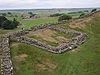
Milefortlets MF 1 • MF 2 • MF 3 • MF 4 • MF 5 • MF 6 • MF 7 • MF 8 • MF 9 • MF 10 • MF 11 • MF 12 • MF 13 • MF 14 • MF 15 • MF 16 • MF 17 • MF 18 • MF 19 • MF 20 • MF 21 • MF 22 • MF 23 • MF 24 • MF 25 • MF 26Other structures on Hadrian's Wall Portgate • Chesters Bridge • Knag Burn Gateway • Peel Gap Tower • Willowford Bridge • Pike Hill Signal TowerCategories:- Milecastles of Hadrian's Wall


Wikimedia Foundation. 2010.