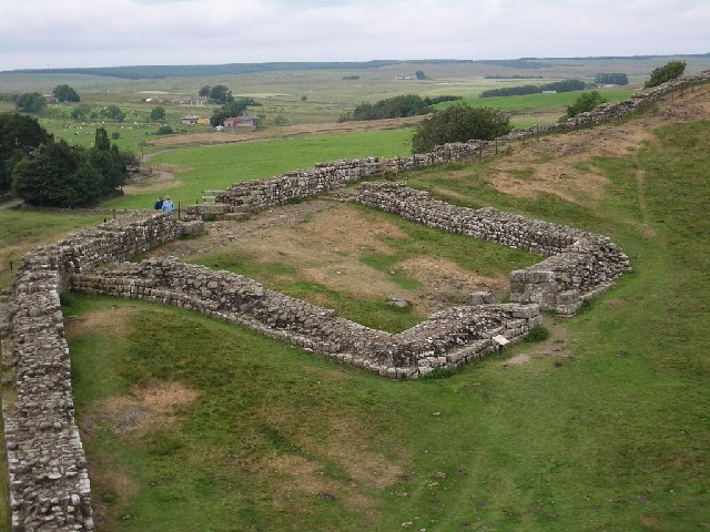
- Milecastle 3
-
Coordinates: 54°58′33″N 1°35′20″W / 54.975901°N 1.589009°W
Milecastle 3 
 Milecastle 3
 Milecastle 3 shown within Tyne and Wear
OS grid reference NZ26406466 List of places: UK • England • Tyne and Wear 
This article is part of the series on:
Military of ancient Rome (portal)
753 BC – AD 476Structural history Roman army (unit types and ranks, legions, auxiliaries, generals) Roman navy (fleets, admirals) Campaign history Lists of wars and battles Decorations and punishments Technological history Military engineering (castra, siege engines, arches, roads) Political history Strategy and tactics Infantry tactics Frontiers and fortifications (limes, Hadrian's Wall) Milecastle 3 (Ouseburn) was a milecastle of the Roman Hadrian's Wall. No remains exist, but it was thought to have been located at the junction of the A187 Byker Bridge and Stephen Street.
Contents
Construction
No evidence exists as to the configuration or type of Milecastle 3, though the curtain wall at this stage was almost certainly a narrow configuration.[1]
Excavations and investigations
- 1789 - Brand visited the site, but noted that many of the stones had been removed from the foundations some years previously, for use in the building of an adjoining house.[4]
- 1848 - Collingwood Briuce reported that a small, partly illegible altar had been found close to the presumed site of the milecastle. The altar (NMR Number: NZ 26 SE 227) was dedicated by Julius Maximus. Having searched the area, he could find no trace of Roman remains.[1]
- 1858 - Maclauchlan surveyed the area but reported no dependable trace of the milecastle.[5]
- 1928 - FG Simpson measured the distance from Milecastle 2 to Milecastle 3 as 1,450 yards (1,330 m).[5]
- 1979 - Exploratory trenches were sunk during the building of the Metro, revealing no trace of the milecastle.[5]
Associated Turrets
Each milecastle on Hadrian's Wall had two associated turret structures. These turrets were positioned approximately one-third and two-thirds of a Roman mile to the west of the Milecastle, and would probably have been manned by part of the milecastle's garrison. The turrets associated with Milecastle 3 are known as Turret 3A and Turret 3B.
Turret 3A
Nothing is known of Turret 3A.[6]
Presumed location: 54°58′30″N 1°35′46″W / 54.974892°N 1.596128°WTurret 3B
Nothing is known of Turret 3B.[7]
Presumed location: 54°58′20″N 1°36′09″W / 54.972217°N 1.602403°WMonument Records
Monument Monument Number National Monuments Record Number Milecastle 3 24904 NZ 26 SE 15 Turret 3A 24907 NZ 26 SE 16 Turret 3B 24912 NZ 26 SE 17 References
- ^ a b Breeze, David J (1934), Handbook to the Roman Wall (14th Revised edition - Nov 2006), Society of Antiquaries of Newcastle upon Tyne, ISBN 0901082651
- ^ Horsley, John (1732), Britannia Romana or the Roman Antiquities of Britain, Frank Graham (published 1974), ISBN 085983090X
- ^ Stukeley, William (1776). Itinerarium Curiosum: or, An account of the antiquities, and remarkable curiosities in nature or art, observed in travels through Great Britain (2nd ed.). London: Baker & Leigh. ISBN 0576193127.
- ^ Brand, John (1st Jan 1789). The History and Antiquities of Newcastle upon Tyne. Vol 1 (1st ed.). B White & Son. pp. 138.
- ^ a b c "Milecastle 3". Pastscape. English Heritage. http://www.pastscape.org/hob.aspx?hob_id=24904. Retrieved 24 May 2010.
- ^ "Turret 3A". Pastscape. English Heritage. http://www.pastscape.org/hob.aspx?hob_id=24907. Retrieved 24 May 2010.
- ^ "Turret 3B". Pastscape. English Heritage. http://www.pastscape.org/hob.aspx?hob_id=24912. Retrieved 24 May 2010.
Bibliography
- Daniels, Charles (1979), "Review: Fact and Theory on Hadrian's Wall", Britannia 10: 357–364, JSTOR 526069
Milecastles of Hadrian's Wall Milecastles 0 • 1 • 2 • 3 • 4 • 5 • 6 • 7 • 8 • 9 • 10 • 11 • 12 • 13 • 14 • 15 • 16 • 17 • 18 • 19 • 20 • 21 • 22 • 23 • 24 • 25 • 26 • 27 • 28 • 29 • 30 • 31 • 32 • 33 • 34 • 35 • 36 • 37 • 38 • 39 • 40 • 41 • 42 • 43 • 44 • 45 • 46 • 47 • 48 • 49 • 50 • 50TW • 51 • 52 • 53 • 54 • 55 • 56 • 57 • 58 • 59 • 60 • 61 • 62 • 63 • 64 • 65 • 66 • 67 • 68 • 69 • 70 • 71 • 72 • 73 • 74 • 75 • 76 • 77 • 78 • 79 • 80
Milefortlets MF 1 • MF 2 • MF 3 • MF 4 • MF 5 • MF 6 • MF 7 • MF 8 • MF 9 • MF 10 • MF 11 • MF 12 • MF 13 • MF 14 • MF 15 • MF 16 • MF 17 • MF 18 • MF 19 • MF 20 • MF 21 • MF 22 • MF 23 • MF 24 • MF 25 • MF 26Other structures on Hadrian's Wall Portgate • Chesters Bridge • Knag Burn Gateway • Peel Gap Tower • Willowford Bridge • Pike Hill Signal TowerCategories:- Milecastles of Hadrian's Wall


Wikimedia Foundation. 2010.