- Maryland Route 229
-
Maryland Route 229
Bensville Road 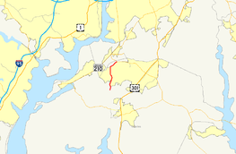
Map of Southern Maryland with MD 229 highlighted in redRoute information Maintained by MDSHA Length: 5.25 mi[1] (8.45 km) Major junctions South end:  MD 227 near Pomfret
North end:  MD 228 near Bennsville
Location Counties: Charles Highway system Maryland highway system
Interstate • US • State • Minor • Former • Turnpikes← MD 228MD 230  →
→Maryland Route 229 (MD 229) is a state highway in the U.S. state of Maryland. Known as Bensville Road, the state highway runs 5.25 miles (8.45 km) from MD 227 near Pomfret north to MD 228 near Bennsville. MD 229 passes through the community of Bennsville in northern Charles County. The state highway was originally constructed as part of MD 228 in the late 1920s. When MD 228 was extended west to Accokeek in the mid 1990s, MD 229 was assigned to Bensville Road.
Contents
Route description
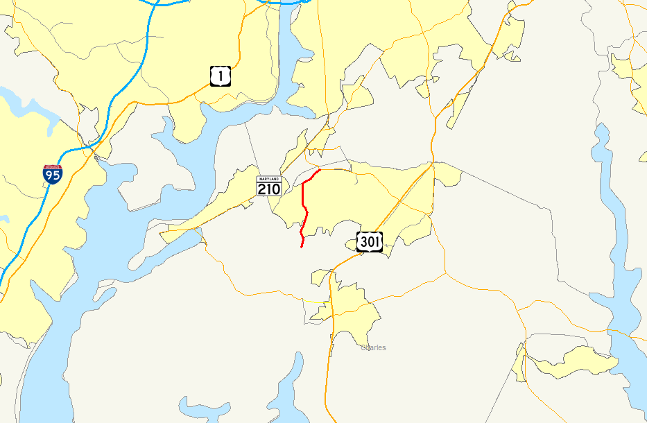
MD 229 begins at an intersection with MD 227 (Marshall Corner Road) near Pomfret. The state highway heads north as a two-lane road through a forested area, intersecting the Indian Head Rail Trail and crossing over Old Womans Run. MD 229 continues through scattered residential subdivisions in the community of Bennsville, where the highway intersects Billingsley Road, a major east–west county highway connecting Bryans Road with St. Charles. The state highway veers northeast, paralleling Mattawoman Creek to its northern terminus at MD 228 (Berry Road) just south of the Prince George's County line.[1][2]
History
Bensville Road is the second highway to be designated MD 229. MD 229 was originally assigned to Morgantown Road between Morgantown and MD 3 (now MD 257) in Wayside in southern Charles County.[3] Morgantown Road was constructed as a modern highway by 1921.[4] MD 229 served as the connection to a Potomac River ferry that operated between Morgantown and Colonial Beach, Virginia from 1933 to at least the early 1940s.[5][6] Morgantown Road was removed from the state highway system in 1956.[7]
Bensville Road was originally part of MD 228.[3] The highway was constructed as a 15-foot (4.6 m) gravel road from Pomfret to Bennsville in 1925 and 1926.[8] The remainder of Bensville Road was built in 1927.[9] The MD 228 designation was removed from Bensville Road after that highway was extended to Accokeek in southwestern Prince George's County in 1995.[10] MD 229 was assigned to Bensville Road by 1997.[11]
Junction list
The entire route is in Charles County.
Location Mile[1] Destinations Notes Pomfret 0.00 MD 227 (Marshall Corner Road) – Pomonkey, White PlainsSouthern terminus Bennsville 1.60 Billingsley Road – St. Charles, Bryans Road 5.25 MD 228 (Berry Road) – Waldorf, AccokeekNorthern terminus 1.000 mi = 1.609 km; 1.000 km = 0.621 mi References
- ^ a b c "Highway Location Reference: Charles County" (PDF). Maryland State Highway Administration. 2009. http://www.marylandroads.com/Location/2009_CHARLES.pdf. Retrieved 2011-01-10.
- ^ Google, Inc. Google Maps – Maryland Route 229 (Map). Cartography by Google, Inc. http://maps.google.com/maps?f=d&source=s_d&saddr=Bensville+Rd&daddr=Bensville+Rd&hl=en&geocode=FQXMTAIdONFo-w%3BFZXMTQIdOCFp-w&mra=ls&sll=38.653276,-77.001886&sspn=0.015383,0.038581&ie=UTF8&t=h&z=12. Retrieved 2011-01-10.
- ^ a b Maryland State Roads Commission. General Highway Map: State of Maryland (Map) (1939 ed.).
- ^ Maryland Geological Survey. Map of Maryland: Showing State Road System and State Aid Roads (Map) (1921 ed.).
- ^ Maryland Geological Survey. Map of Maryland Showing State Road System: State Aid Roads and Improved County Road Connections (Map) (1933 ed.).
- ^ Maryland State Roads Commission. Maryland: Official Highway Map (Map) (1946-47 ed.).
- ^ Maryland State Roads Commission. Maryland: Official Highway Map (Map) (1956 ed.).
- ^ Report of the State Roads Commission of Maryland. 1924-1926. Baltimore: Maryland State Roads Commission. January 1927. pp. 41, 77. http://www.archive.org/details/annualreportsofs1924mary. Retrieved 2011-01-10.
- ^ Maryland Geological Survey. Map of Maryland: Showing State Road System and State Aid Roads (Map) (1927 ed.).
- ^ Maryland State Highway Administration. Maryland: Official Highway Map (Map) (1995 ed.).
- ^ Maryland State Highway Administration. Maryland: Official Highway Map (Map) (1997 ed.).
External links
Roads in Charles County, Maryland State highways 
U.S. Highways Categories:- State highways in Maryland
- Roads in Charles County, Maryland


Wikimedia Foundation. 2010.