Dateland, Arizona

Dateland, Arizona
Dateland, Arizona
—  Unincorporated community  —
Dateland, Arizona is located in Arizona
Dateland, Arizona
Location within the state of Arizona
Coordinates: 32°47′47″N 113°32′28″W / 32.79639°N 113.54111°W / 32.79639; -113.54111Coordinates: 32°47′47″N 113°32′28″W / 32.79639°N 113.54111°W / 32.79639; -113.54111
Country United States
State Arizona
County Yuma
Population (2000)
 – Total 852
Time zone Mountain (MST) (UTC-7)
ZIP codes 85333
FIPS code
GNIS feature ID

Dateland is an unincorporated community in Yuma County, Arizona, United States. It is in an area well known for date palm dates.

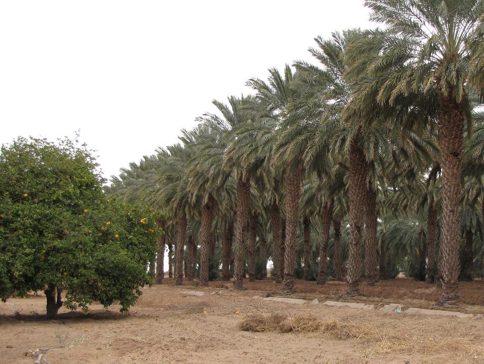
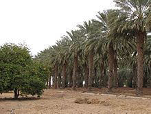
Rows of date palms behind the Dateland Travel Center

Dateland has the ZIP Code of 85333; in 2000, the population of the 85333 ZCTA was 852.[1]

The community is part of the Yuma Metropolitan Statistical Area.

The Dateland Food Court is home to the self-proclaimed "World Famous Date Shakes."

See also

External links

References


Wikimedia Foundation. 2010.

Игры ⚽ Поможем решить контрольную работу

Look at other dictionaries:

  • Dateland Army Airfield — Infobox Military Structure name=Datelan Army Airfield partof = Arizona World War II Army Airfields location= About 40 miles west of Yuma, Arizona coordinates=Coord|32|48|54.90|N|113|31|40.03|W|type:airport caption= 23 June 1996 type=USAAF… …   Wikipedia

  • Arizona World War II Army Airfields — Infobox Military Structure name=Arizona World War II Army Airfields partof = World War II location= coordinates= caption= type=Army Airfields code= built=1940 1944 builder= materials= height= used= 1940 Present demolished= condition= ownership=… …   Wikipedia

  • National Register of Historic Places listings in Yuma County, Arizona — Location of Yuma County in Arizona This is a list of the National Register of Historic Places listings in Yuma County, Arizona. It is intended to be a complete list of the properties and districts on the National Register of Historic Places in… …   Wikipedia

  • Mohawk, Arizona —   Unincorporated community   …   Wikipedia

  • Dome, Arizona —   Ghost town   …   Wikipedia

  • Yuma County, Arizona — Infobox U.S. County county = Yuma County state = Arizona map size = 150 founded = 1864 seat = Yuma area total sq mi =5519 area land sq mi =5514 area water sq mi =5 area percentage = 0.09% census yr = 2007 pop = 190557 density km2 =11 web = www.co …   Wikipedia

  • Yuma County (Arizona) — Verwaltung US Bundesstaat: Arizona Verwaltungssitz: Yuma Gründung: Demographie Einwohner: 195.751  (2010) …   Deutsch Wikipedia

  • Datelan Army Airfield — Dateland Army Airfield Part of Arizona World War II Army Airfields Yuma County, about 40 miles east of …   Wikipedia

  • Interstate 8 — For other uses, see I8 (disambiguation). Interstate 8 Route information …   Wikipedia

  • Tank Mountains — Geobox|Range name=Tank Mountains image size= image caption= country=United States state=Arizona geology=|orogeny= highest=Black Dome (Arizona) highest elevation imperial=2236 map caption=The Tank Mountains is a mountain range in the Sonoran… …   Wikipedia

Share the article and excerpts

Direct link
Do a right-click on the link above
and select “Copy Link”