- Mexican Federal Highway 180
-
Federal Highway 180
Carretera Federal 180 Carretera Federal 180 Major junctions From: Matamoros, Tamaulipas To: Cancún, Quintana Roo Highway system Mexican Federal Highway 180 is a Mexican Federal Highway that follows Mexico's Gulf and Caribbean Coast from the Mexico-U.S. border at Brownsville, Texas, into Matamoros, Tamaulipas, to the resort city of Cancún, Quintana Roo, in the Yucatán Peninsula.
The highway is briefly interrupted from El Encinal to Soto la Marina in Tamaulipas just north of Tampico. The highway goes through Tampico south, interrupted briefly from Cerro Azul to Potrero del Llano, to the city of Poza Rica. It continues south from there through Veracruz and Coatzacoalcos. From there it goes east into Villahermosa, north through Campeche into Merida, and finally east into Cancún.
See also
- Tampico Bridge
- Zacatal Bridge
Photos
-

Heading towards Cancun from Mérida
-

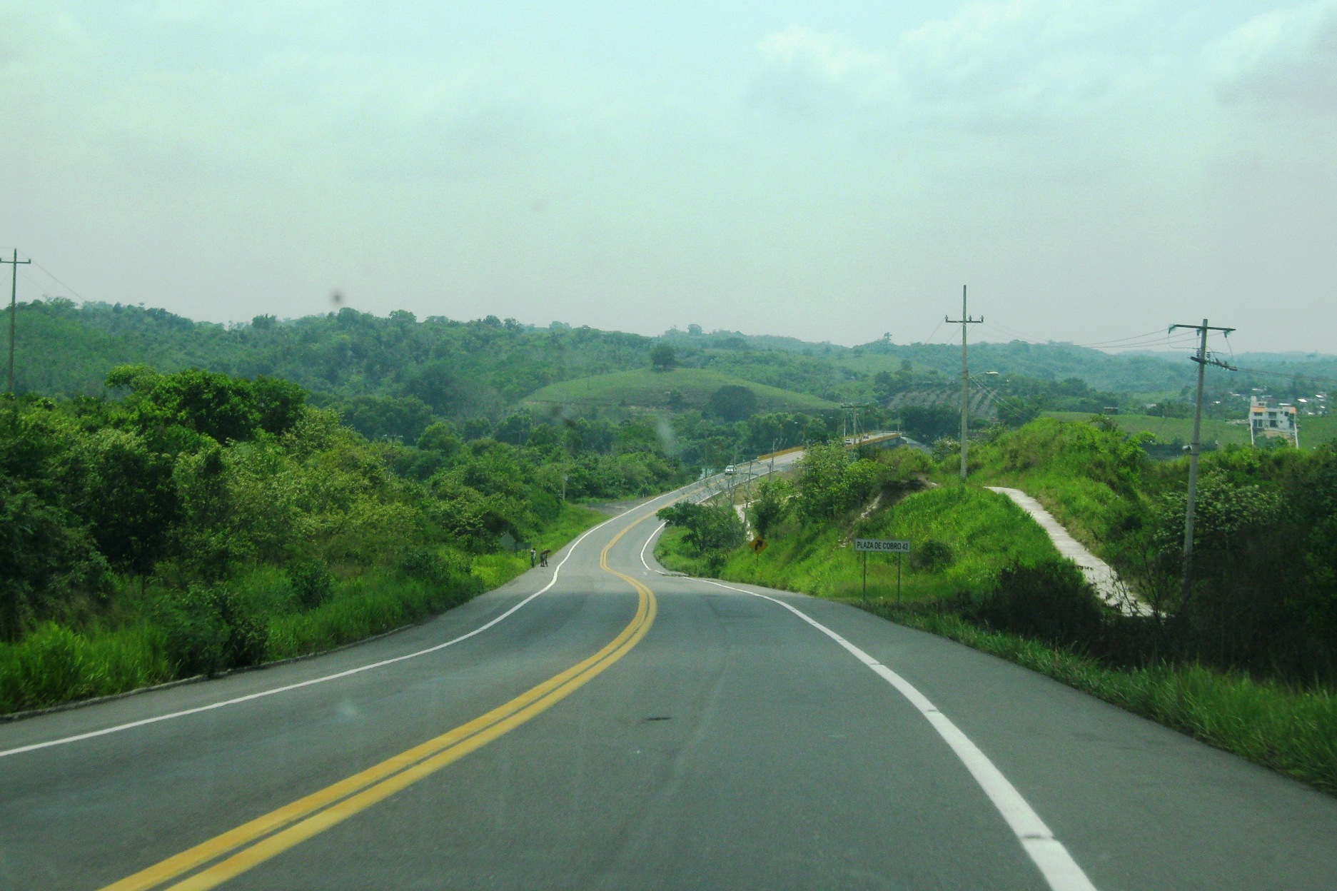
Carretera Federal 180 looking northbound near Gutiérrez Zamora.
 Mexican Federal Highways
Highways 1 • 2 • 3 • 5 • 8 • 9 • 10 • 11 • 12 • 14 • 15 • 16 • 17 • 18 • 19 • 20 • 22 • 23 • 24 • 25 • 26 • 28 • 29 • 30 • 31 • 34 • 35 • 36 • 37 • 38 • 40 • 41 • 43 • 44 • 45 • 47 • 49 • 51 • 52 • 53 • 54 • 55 • 57 • 58 • 61 • 62 • 63 • 64 • 66 • 68 • 69 • 70 • 71 • 72 • 74 • 76 • 78 • 80 • 81 • 82 • 84 • 85 • 87 • 90 • 93 • 95 • 97 • 98 • 100 • 101 • 102 • 103 • 105 • 106 • 107 • 110 • 111 • 113 • 114 • 115 • 116 • 117 • 119 • 120 • 121 • 123 • 125 • 126 • 127 • 128 • 129 • 130 • 131 • 132 • 134 • 135 • 136 • 138 • 140 • 142 • 143 • 144 • 145 • 147 • 150 • 160 • 162 • 166 • 172 • 175 • 176 • 178 • 179 • 180 • 182 • 184 • 185 • 186 • 187 • 188 • 190 • 193 • 195 • 196 • 198 • 199 • 200 • 202 • 203 • 211 • 217 • 220 • 221 • 225 • 247 • 254 • 259 • 261 • 263 • 265 • 281 • 293 • 295 • 307Categories:- Mexican Federal Highways
- Pan-American Highway
- Mexico road stubs


Wikimedia Foundation. 2010.