- Mexican Federal Highway 95
-
Federal Highway 95
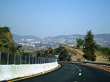
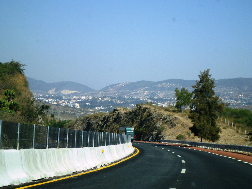
Carretera Federal 95 Route information Length: 377 km[citation needed] (234 mi) Major junctions East end: Mexico City South end: Acapulco, Guerrero Highway system ← Fed. 93 Fed. 97 → Mexican Federal Highway 95 (Carretera Federal 95) connects Mexico City to Acapulco, Guerrero.[1]
The highway is the main road that leads to the Lagunas de Zempoala National Park. At Tlalpan, Mexico City, the Highway serves the Estadio Azteca.
Contents
History
The oldest reference to a road between Mexico City and Acapulco date to 1531, when Hernán Cortés ordered the construction of a passage in order to move supplies between the capital and the coastal city. It was converted into a more solid road and received the name Asia Road due to the passage of wares along it.
In early 1920 Juan R. Escudero, who was originally from Acapulco, asked President Alvaro Obregón to expedite the construction of the road, Escudero offering a group of his men to support the construction work. Obregón agreed and proceeded to improve sections Mexico-Amacuzac and the Iguala-Chilpancingo. A year later, he improved the stretch that runs from Chilpancingo to the south towards Acapulco, and also began a better line of road north of Acapulco.
After the murder of Escudero late 1923, the emergence of the Huerta rebellion and pressure from the bourgeoisie in Acapulco, the work would be stopped again for a short period. Between the years 1924 and 1925, the work was restarted by Amadeo S. Vidales, who was appointed head of the Guerrero area and with the support of a group of 328 men, whose salaries he paid.
Route
Federal District
Federal Highway 95 begins in Mexico City at the end of the avenues Insurgentes and Viaductio Tlalpan. They begin heading out towards the south for 6.6 kilometres, passing though the population centre of San Andres Totoltepec. The next 3.4 kilometres ascend the mountainous areas of the Yoyolica volcano, before passing though the population centre of Los Angeles. The road continues south through the outskirts of the town of Parras which leads to Chichinautzin Microwave Station. Finally, it covers a stretch of 8.6 km to the town of El Capulin, is in this section that leaves the Federal District and into the state of Morelos.
Distances
- Leaving Mexico City and San Andres Totoltepec — 6.6 km
- to Los Ángeles — 3.4 km
- Los Ángeles to Parres — 10.12 km
- Parres to El Capulín(Morelos) — 8.6 km
Morelos
The road comes from the Federal District into the state of Morelos from north to south through the towns of El Capulin and the Tres Marias municipality of Huitzilac to reach the city of Cuernavaca, the state capital. Upon admission to it, starting a stretch where the road becomes divided Not Free State Road. Leaving the city, the road continues towards the south to the junction with the road to Cuernavaca Airport in this area there are a number of junctions and intersections of roads that connect the villages of Puente Morelos, Xochitepec and Tletama.
The road continues south to another junction with Highway 166 in the town of Alpuyeca, Highway 166 continues towards the north-west and passes through other areas, such as Miacatlán, Mazatepec, Tetecala de las Reformas, among others. Highway 95 continues south in a stretch where there are outlets for people of Coatetelco and Ahuehuetzingo and through the towns of Loma Larga and El Abinico, the latter three belonging to the municipality of Puente de Ixtla. Subsequently, the road crosses near the towns of Puente de Ixtla and San Gabriel de las Palmas to where it joins again with Highway 166 and once again immediately after the city of Amacuzac. In this area, the road changes its orientation towards the west through the towns of Huajintlán, Teacalco and the town of Casino de la Union. This is the last stretch of the highway before entering the state of Guerrero.
Distances
- Junction of Huitzilac and Zempoala Lakes National Park to area of Coajomulco - 5 km
- From Coajomulco to the junction at Huitzilac - 9 km
- to Tepoztlan Huitzilac - 6 km
- to the city of Cuernavaca — 5 km
- Cuernavaca to Temixco - 10 km
- to Acatlipa - 3 km
- to the town of Puente Morelos - 2 km
- to Palo Bolero - 5 km
- to the road junction of Xoxocotla - 5 km
- Xoxocotla junction to the junction to Mazatepec - 3 km
- Mazatepec to Ahuehuetzingo - 4 km
- Ahuehuetzingo to Puente de Ixtla - 7 km
- Puente de Ixtla to - 12 km
- Amacuzac the intersection with Federal Highway 55 (at Guerrero) - 16 km
Guerrero
In the state of Guerrero, Highway 95 enters near Cacahuamilpa Caves National Park, the road follows its course and enters the city of Ixtapan de la Sal. It continues its path past the area of Tetipac and passing near the town of Acuitlapan and Acamixtla where it reaches the city of Taxco de Alarcón. In this city, the road turns to the south again; it passes Tecalpulco, Taxco El Viejo, Campuzano Puente, San Juan de la Union and Mexcaltepec,(all in the municipality of Taxco de Alarcón) and El Naranjo's town of Iguala de la Independencia.
The road now meets with State Highway 1 which connects the city of Iguala and the cityof Tepecoacuilco, Huitzuco. Further south, the route 95 is located with other road inputs to populations of the municipalities of Iguala de la Independencia and Tepecoacuilco of Trujano como Zacacoyuca, Santa Teresa, Sabana Grande, Sale Palulo, Maxela, Coacoyula Alvarez, Xalitla and Valerio Trujano. From this section, Highway 95 goes into Cañón del Zopilote (Buzzard Canyon), in the municipality of Eduardo Neri, crossing the bridge over the Balsas River (known in this area as Mezcala) and near the town of Mezcal.
Further south, the road meets a junction near the archealogical site at La Organera-Xochipala. Subsequently, it crosses the town of El Pantanal, where there is a free state road that bisects Huitziltepec. The route then crosses through the city from the Zumpango River and then travels 8 miles toward the state capital Chilpancingo de los Bravo. The highway joins the Autopista del Sol. Leaving the urban area, the road provides access to Mazatlan, Palo Blanco, Agua de Obispo, Rincon de la Via, Ocotito and Julian Blanco which belongs to Municipality of Chilpancingo de los Bravo. The road enters the town of Juan R. Escudero and through the Tierra Colorada and then out toward the west-southwest and across the Papagayo River. It is at this point that the road enters the city of Acapulco and passes near the town of El Playon, through the town of Xaltianguis, Potrerillos River bridge and the locations of El Cuarenta y Cinco and Cuarenta y Dos. In the latter there is a cruise that leads to Piedra Iman and La Providencia. Later, it passes near the towns of El Cuerenta and El Treinta y Cuatro where a road linking the towns of Dos Arroyos, Colonia Guerrero, Altos de Camaron and Venta Vieja.
Finally, Highway 95 passes near the town of Lomas de San Juan and meets with Highway 200 from the region of Costa Chica, on this stretch of Highway 200 and 95 come togetherin an attempt to bypass the city of Acapulco in order to save time. The road crosses around the towns of El Veinteuno, El Paso Quemado and Limon and finally to the city of Acapulco.
References
Notes
Sources
- Liquidano Doria, Faustino; Liquidano Dimayuga, Eleuteria(1994). «Siglo XVI», Memoria de Acapulco. Acapulco, Guerrero: Ediciones Municipales.
- Martínez Carbajal, Alejandro (2005). «Etapa Revolucionaria: La Carretera México-Acapulco», Historia de Acapulco, Primera edición, Acapulco, Guerrero: DPA Impresores.
- Escudero, Francisco R. (1997). «II: La Esperanza: La Carretera Federal México-Acapulco», Origen y evolución del turismo en Acapulco, Acapulco, Guerrero.

 Mexican Federal Highways
Highways 1 • 2 • 3 • 5 • 8 • 9 • 10 • 11 • 12 • 14 • 15 • 16 • 17 • 18 • 19 • 20 • 22 • 23 • 24 • 25 • 26 • 28 • 29 • 30 • 31 • 34 • 35 • 36 • 37 • 38 • 40 • 41 • 43 • 44 • 45 • 47 • 49 • 51 • 52 • 53 • 54 • 55 • 57 • 58 • 61 • 62 • 63 • 64 • 66 • 68 • 69 • 70 • 71 • 72 • 74 • 76 • 78 • 80 • 81 • 82 • 84 • 85 • 87 • 90 • 93 • 95 • 97 • 98 • 100 • 101 • 102 • 103 • 105 • 106 • 107 • 110 • 111 • 113 • 114 • 115 • 116 • 117 • 119 • 120 • 121 • 123 • 125 • 126 • 127 • 128 • 129 • 130 • 131 • 132 • 134 • 135 • 136 • 138 • 140 • 142 • 143 • 144 • 145 • 147 • 150 • 160 • 162 • 166 • 172 • 175 • 176 • 178 • 179 • 180 • 182 • 184 • 185 • 186 • 187 • 188 • 190 • 193 • 195 • 196 • 198 • 199 • 200 • 202 • 203 • 211 • 217 • 220 • 221 • 225 • 247 • 254 • 259 • 261 • 263 • 265 • 281 • 293 • 295 • 307Categories:- Mexican Federal Highways

Wikimedia Foundation. 2010.