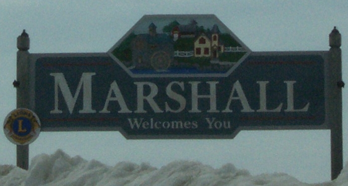
- Marshall, Dane County, Wisconsin
-
Marshall — Village — Motto: Expanding Our Community's Horizon! Location within the state of Wisconsin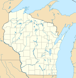
 Marshall
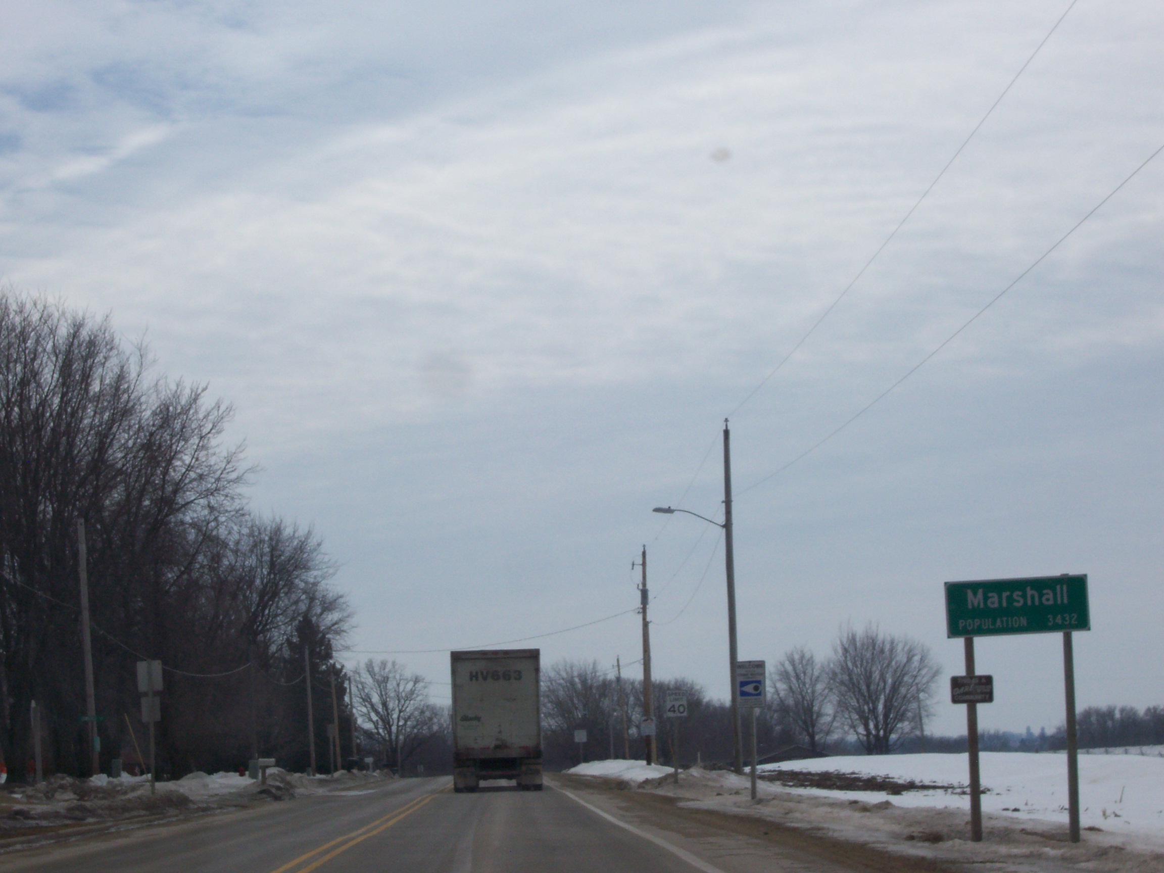
Coordinates: 43°10′16″N 89°3′53″W / 43.17111°N 89.06472°WCoordinates: 43°10′16″N 89°3′53″W / 43.17111°N 89.06472°W Country United States State Wisconsin County Dane Government – Type Village Area – Total 1.8 sq mi (4.6 km2) – Land 1.7 sq mi (4.4 km2) – Water 0.1 sq mi (0.2 km2) Population (2000) – Total 3,432 – Density 1,932.4/sq mi (746.1/km2) Time zone Central (CST) (UTC-6) – Summer (DST) CDT (UTC-5) ZIP codes 53559 Area code(s) 608 FIPS code GNIS feature ID 

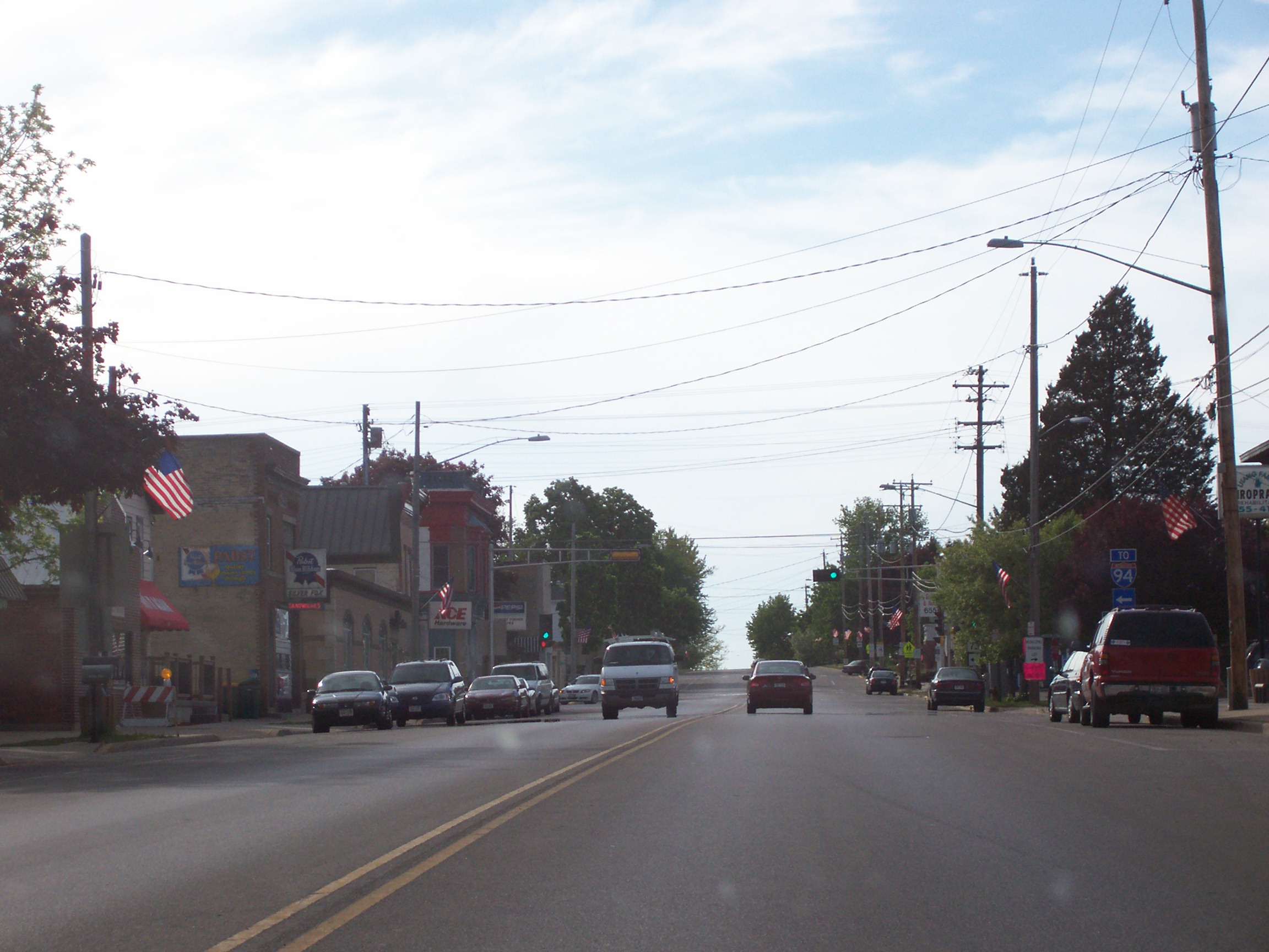
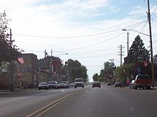 Downtown Marshall
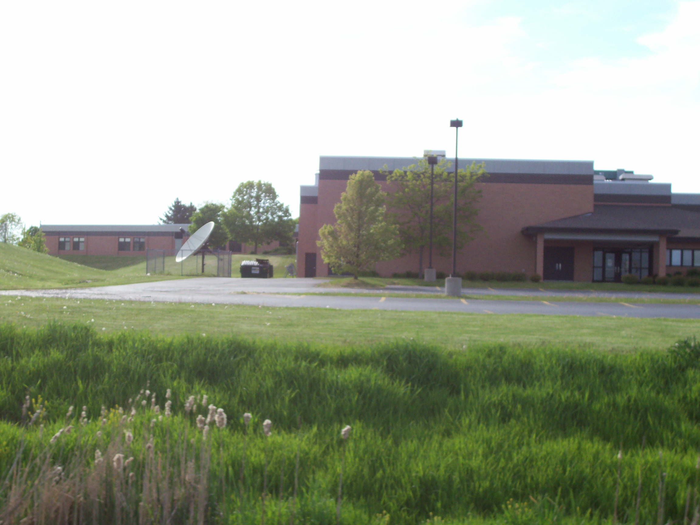
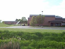 Marshall School
Marshall is a village in Dane County, Wisconsin, United States, along the Maunesha River. The population was 3,432 at the 2000 census. It is part of the Madison Metropolitan Statistical Area.
Contents
History
In June 1837, Andrew Bird, Zenas Bird and Aaron Petrie began a settlement along the banks of the Maunesha River. In the fall of 1838, a fire destroyed the settlement. For more than a decade after that the area was known as Bird’s Ruins.[1][2] In 1849, Bird’s Ruins became Hanchettville to recognize Asahel Hanchett for luring several needed businesses to the village.[1] Railway officials located a depot of the new Milwaukee to Madison rail line in Hanchettville, and the village residents renamed Hanchettville to Howard City after one of the leading railway promoters. Howard City did not prosper, so Asahel Hanchett sold his land holdings to Madison real estate brokers William F. Porter and Samuel Marshall in 1860. This included the grist mill created by Ansel Hanchett in 1852[3] which Marshall renamed "Marshall's Roller Mill."[2][3]
The settlement was then renamed after Samuel Marshall in 1861.[3] Samuel Marshall founded Marshall & Ilsley Corporation (M&I) Bank in Madison in 1853. The Porter family moved from Madison to made their home in Marshall in 1860, and William F. Porter left in 1865 for Massachusetts, leaving his share of the property to his son William Henry Porter.[3] Marshall was officially incorporated as a village on January 24, 1905 and had a population of 467.[2] In 1908 the mill it was sold to the Blaschka family, and today it operates under its present name, the "Blaschka Milling Co." The mill, an important centerpiece of Marshall history, celebrated its sesquicentennial of continuous operation in 2002.
Geography
A significant geographical feature of Marshall is the mill pond and dam, originally created to power the feed mill, although no longer used for that purpose. This impoundment of the Maunesha River provides water sports and recreation at a variety of local parks; Riley-Deppe County Park,[4] Fireman's Park,[5] and Lion's Park.[5]
Marshall is located at 43°10′16″N 89°3′53″W / 43.17111°N 89.06472°W (43.171084, -89.064714)[6]. According to the United States Census Bureau, the village has a total area of 1.8 square miles (4.6 km²), of which, 1.7 square miles (4.4 km²) of it is land and 0.1 square miles (0.2 km²) of it (4.49%) is water.
Demographics
As of the census[7] of 2000, there were 3,432 people, 1,266 households, and 929 families residing in the village. The population density was 2,018.3 people per square mile (779.5/km²). There were 1,312 housing units at an average density of 771.6/sq mi (298.0/km²). The racial makeup of the village was 94.52% White, 0.90% African American, 0.73% Native American, 0.17% Asian, 0.03% Pacific Islander, 2.91% from other races, and 0.73% from two or more races. Hispanic or Latino of any race were 4.02% of the population.
There were 1,266 households out of which 42.3% had children . under the age of 18 living with them, 58.1% were married couples living together, 11.3% had a female householder with no husband present, and 26.6% were non-families. 21.1% of all households were made up of individuals and 8.1% had someone living alone who was 65 years of age or older. The average household size was 2.69 and the average family size was 3.14.
In the village the population was spread out with 30.7% under the age of 18, 6.6% from 18 to 24, 33.3% from 25 to 44, 18.9% from 45 to 64, and 10.4% who were 65 years of age or older. The median age was 32 years. For every 100 females there were 99.0 males. For every 100 females age 18 and over, there were 93.0 males.
The median income for a household in the village was $46,141, and the median income for a family was $51,691. Males had a median income of $35,037 versus $24,720 for females. The per capita income for the village was $19,042. About 2.7% of families and 4.1% of the population were below the poverty line, including 3.0% of those under age 18 and 10.6% of those age 65 or over.
Economy
Marshall has a growing economic base, and is the home of the following well known businesses:
Industry
Finance
Transportation
Ground transportation
State highways
 Wisconsin Highway 19
Wisconsin Highway 19 runs east-west from Mazomanie to Watertown Wisconsin. Wisconsin Highway 73
Wisconsin Highway 73 runs north-south across central Wisconsin from Ingram to Edgerton.Air Transportation
Airfields
- Mathaire Field, Marshall, Wisconsin - Privately owned and operated 2800 ft grass landing strip for single engine and ultralight vehicles.
References
- ^ a b Village of Marshall History, Retrieved on 2008-12-26
- ^ a b c Marshall Area Business Association Website. Retrieved 2008-12-26)
- ^ a b c d Courier Newspaper, Thursday. December 18th, 2008 reprinting of an article from the December 2, 1898 edition of the Wisconsin State Journal
- ^ Riley-Deppe County Park, Dane County Website. Retrieved on 2008-12-26
- ^ a b Village of Marshall Parks. Retrieved on 2008-12-26
- ^ "US Gazetteer files: 2010, 2000, and 1990". United States Census Bureau. 2011-02-12. http://www.census.gov/geo/www/gazetteer/gazette.html. Retrieved 2011-04-23.
- ^ "American FactFinder". United States Census Bureau. http://factfinder.census.gov. Retrieved 2008-01-31.
External links
Categories:- Villages in Wisconsin
- Populated places in Dane County, Wisconsin
- Madison metropolitan area


Wikimedia Foundation. 2010.