- Dane, Wisconsin
-
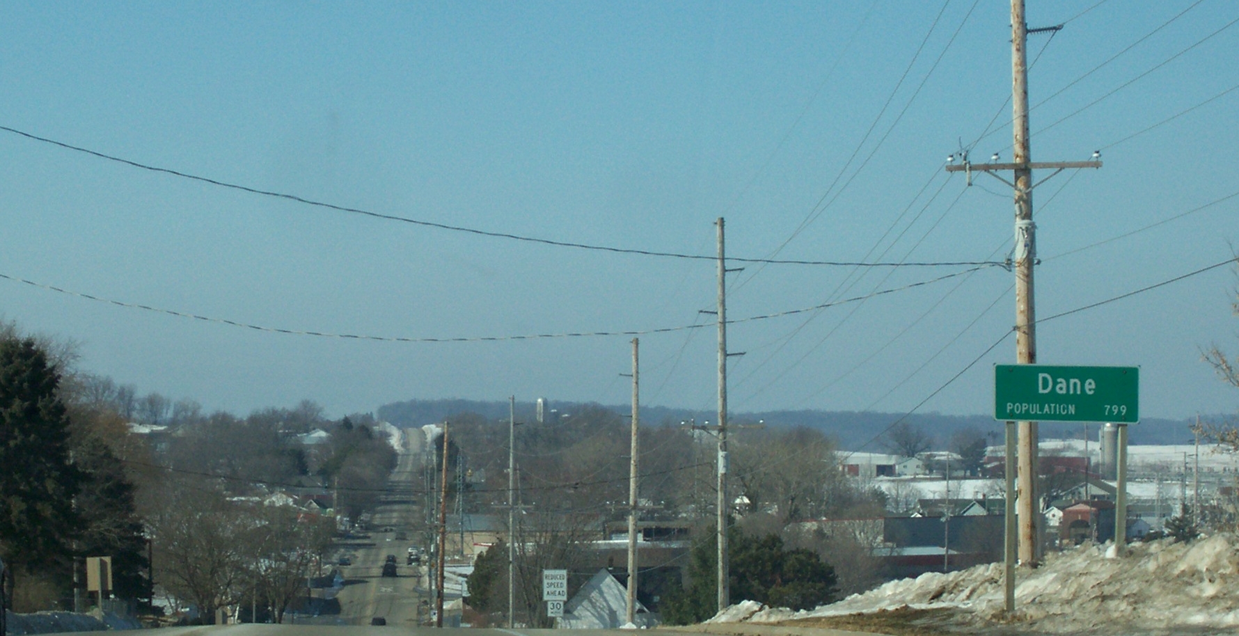
Dane, Wisconsin — Village — Coordinates: 43°14′35″N 89°31′51″W / 43.24306°N 89.53083°WCoordinates: 43°14′35″N 89°31′51″W / 43.24306°N 89.53083°W Country United States State Wisconsin County Dane Area – Total 1.1 sq mi (2.9 km2) – Land 1.1 sq mi (2.9 km2) – Water 0.0 sq mi (0.0 km2) Elevation[1] 1,125 ft (343 m) Population (2000) – Total 799 – Density 705.6/sq mi (273.0/km2) Time zone Central (CST) (UTC-6) – Summer (DST) CDT (UTC-5) FIPS code 55-18725[2] GNIS feature ID 1583048[1] Dane is a village in Dane County, Wisconsin, United States. The population was 799 at the 2000 census. Located in the Town of Dane, the village is part of the Madison Metropolitan Statistical Area.
Contents
Geography
Dane is located at 43°15′1″N 89°30′1″W / 43.25028°N 89.50028°W (43°15′01″N 89°30′02″W / 43.250363°N 89.500527°W)[3].
According to the United States Census Bureau, the village has a total area of 1.1 square miles (2.9 km²).
Demographics
As of the census[2] of 2000, there were 799 people, 279 households, and 205 families residing in the village. The population density was 705.6 people per square mile (273.0/km²). There were 288 housing units at an average density of 254.3 per square mile (98.4/km²). The racial makeup of the village was 94.87% White, 0.38% Black or African American, 0.13% Native American, 2.38% Asian, 0.50% from other races, and 1.75% from two or more races. 1.88% of the population were Hispanic or Latino of any race.
There were 279 households out of which 43.4% had children under the age of 18 living with them, 60.6% were married couples living together, 9.0% had a female householder with no husband present, and 26.5% were non-families. 16.5% of all households were made up of individuals and 6.8% had someone living alone who was 65 years of age or older. The average household size was 2.86 and the average family size was 3.31.
In the village the population was spread out with 31.5% under the age of 18, 10.4% from 18 to 24, 36.9% from 25 to 44, 14.8% from 45 to 64, and 6.4% who were 65 years of age or older. The median age was 31 years. For every 100 females there were 102.3 males. For every 100 females age 18 and over, there were 101.8 males.
The median income for a household in the village was $51,667, and the median income for a family was $56,250. Males had a median income of $34,792 versus $26,125 for females. The per capita income for the village was $18,533. About 3.8% of families and 5.4% of the population were below the poverty line, including 10.2% of those under age 18 and 9.3% of those age 65 or over.
Images
-
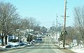
Dane on Wisconsin Highway 113
-

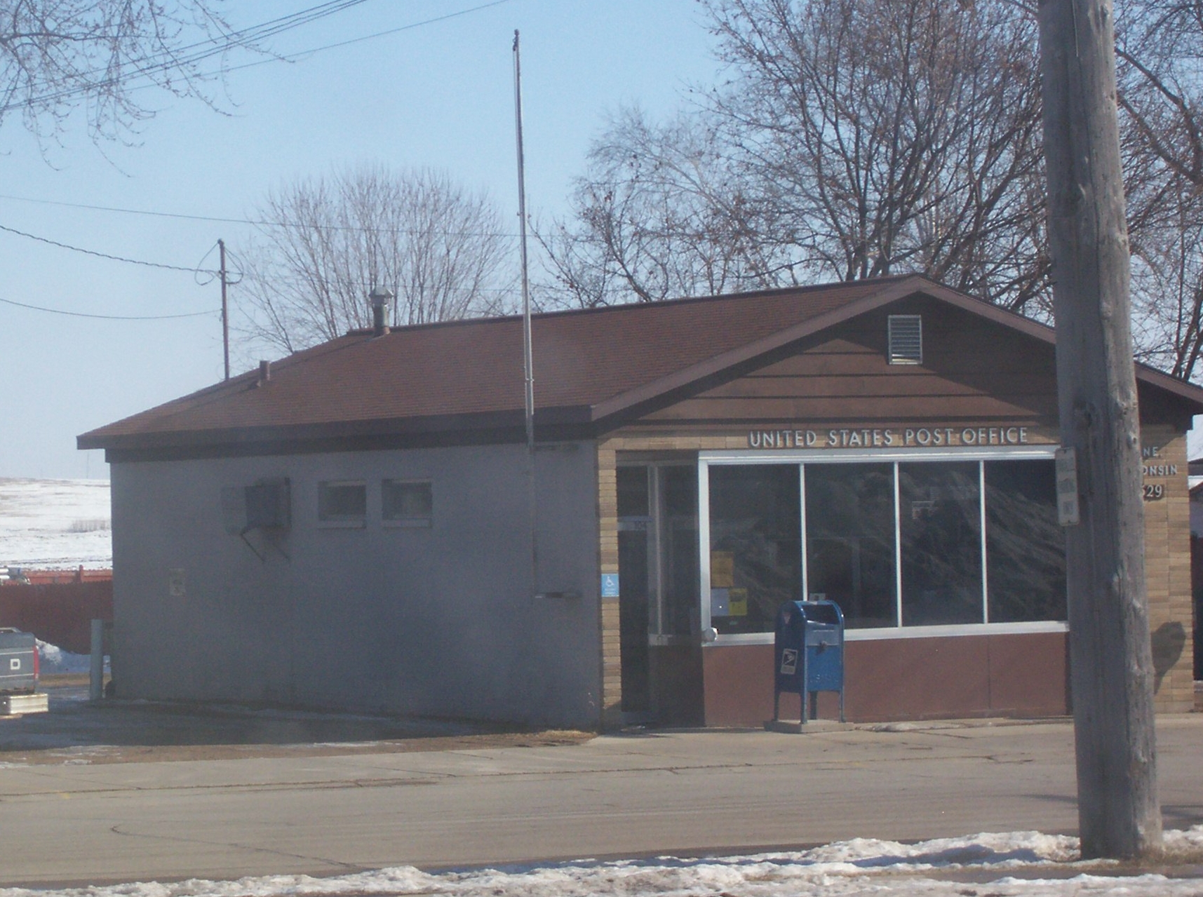
Post office
-
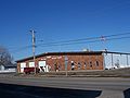
Village hall and fire station
-
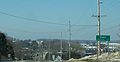
Looking at the welcome sign
References
- ^ a b "US Board on Geographic Names". United States Geological Survey. 2007-10-25. http://geonames.usgs.gov. Retrieved 2008-01-31.
- ^ a b "American FactFinder". United States Census Bureau. http://factfinder.census.gov. Retrieved 2008-01-31.
- ^ "US Gazetteer files: 2010, 2000, and 1990". United States Census Bureau. 2011-02-12. http://www.census.gov/geo/www/gazetteer/gazette.html. Retrieved 2011-04-23.
External links
Categories:- Villages in Wisconsin
- Populated places in Dane County, Wisconsin
- Madison metropolitan area
-


Wikimedia Foundation. 2010.