- Misson, Nottinghamshire
-
Coordinates: 53°27′N 0°58′W / 53.45°N 0.96°W
Misson 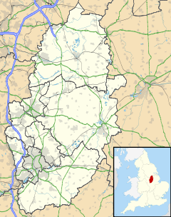
 Misson
Misson shown within NottinghamshirePopulation 698 OS grid reference SK690949 District Bassetlaw Shire county Nottinghamshire Region East Midlands Country England Sovereign state United Kingdom Post town DONCASTER Postcode district DN10 Police Nottinghamshire Fire Nottinghamshire Ambulance East Midlands EU Parliament East Midlands List of places: UK • England • Nottinghamshire Misson is a village in Nottinghamshire, England. It is located 12 miles north of Retford, and not directly accessible from the rest of Nottinghamshire. Misson Springs, which lie north of the village itself, is the northenmost place within the county. According to the 2001 census it had a population of 698[1].
The parish church of St John the Baptist was rebuilt after extensive damage by lightning in 1894. About a mile north-west of the village is RAF Misson[2].
References
- ^ "Area: Misson CP (Parish)"
- ^ Pevsner, Nikolaus. 1979. The Buildings of England:Nottinghamshire. page 178. Harmondsworth, Middx. Penguin.
External links
 Media related to Misson, Nottinghamshire at Wikimedia Commons
Ceremonial county of Nottinghamshire Unitary authorities Boroughs or districts Major settlements Arnold · Beeston · Bingham · Bircotes · Blidworth · Bulwell · Carlton · Cotgrave · Eastwood · Harworth · Hucknall · Kimberley · Kirkby-in-Ashfield · Mansfield · Mansfield Woodhouse · Netherfield · Newark · Nottingham · Ollerton · Rainworth · Retford · Ruddington · Stapleford · Southwell · Sutton-in-Ashfield · West Bridgford · Worksop
See also: List of civil parishes in NottinghamshireTopics Categories:- Villages in Nottinghamshire
- Nottinghamshire geography stubs

Wikimedia Foundation. 2010.