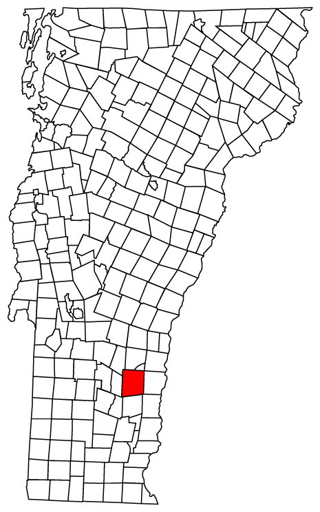
- Chester, Vermont
-
Chester, Vermont — Town — Chester, Vermont
Coordinates: 43°17′17″N 72°36′54″W / 43.28806°N 72.615°WCoordinates: 43°17′17″N 72°36′54″W / 43.28806°N 72.615°W Country United States State Vermont County Windsor Area – Total 55.9 sq mi (144.9 km2) – Land 55.9 sq mi (144.7 km2) – Water 0.0 sq mi (0.1 km2) Elevation 823 ft (251 m) Population (2000) – Total 3,044 – Density 54.5/sq mi (21.0/km2) Time zone Eastern (EST) (UTC-5) – Summer (DST) EDT (UTC-4) ZIP codes 05143-05144 Area code(s) 802 FIPS code 50-13675[1] GNIS feature ID 1462070[2] Chester is a town in Windsor County, Vermont, United States. The population was 3,044 at the 2000 census. The town was originally chartered by New Hampshire Governor Benning Wentworth as Flamstead in 1754. The terms of the charter were not met and the town was re-chartered as New Flamstead in 1761. In 1766 a patent was issued by New York that changed the name of the town to Chester, after George Augustus Frederick, the Earl of Chester and the eldest son of King George III. But the governing authority of Chester reverted to the 1761 charter by an act of the Vermont legislature, although it left the name "Chester" in place. 2011 is the 250th anniversary of the town.
Contents
Attractions
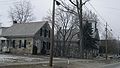
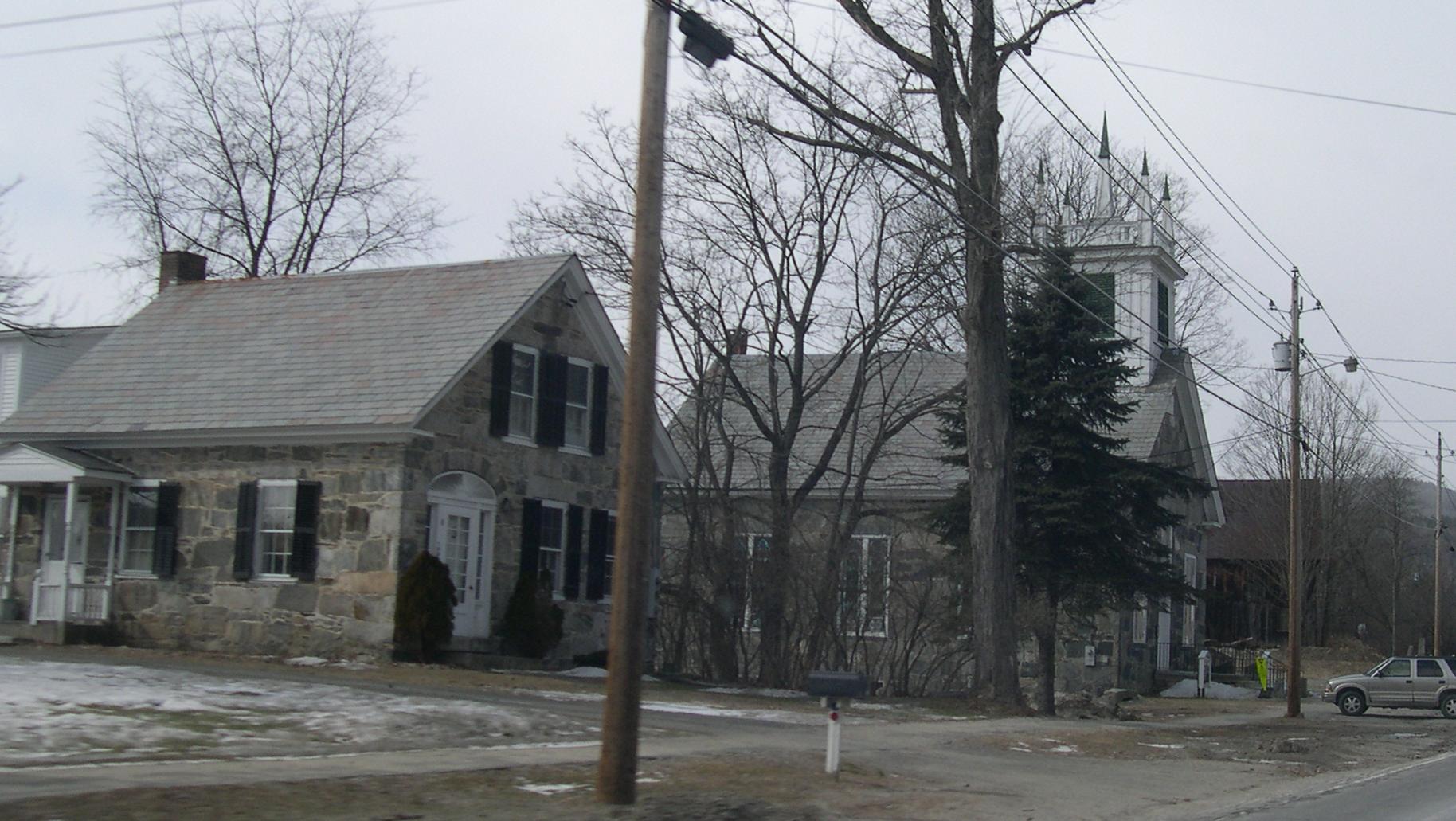
Chester is famous for its "stone village", listed in the National Register of Historic Places. This section of the town is located along Vermont Route 103 in North Chester, across the Williams River from Chester Center. It is known for the many houses made of local granite, and is a popular tourist destination.
Chester's Registered Historic sites:
- Chester Village Historic District — Roughly bounded by Lovers Lane Brook, Maple St., Williams River, Middle Branch & Lovers Lane (added September 8, 1985)
- Greenwood House — VT 103 (added December 1, 1985)
- Jeffrey House — North St. (added July 13, 1974)
- Stone Village Historic District — Both sides of VT 103 (added June 17, 1974)
Geography
According to the United States Census Bureau, the town has a total area of 55.9 square miles (144.9 km2), of which, 55.9 square miles (144.8 km2) of it is land and 0.1 square miles (0.1 km2) of it (0.09%) is water.
Demographics
As of the census[1] of 2000, there were 3,044 people, 1,296 households, and 861 families residing in the town. The population density was 54.5 people per square mile (21.0/km2). There were 1,611 housing units at an average density of 28.8 per square mile (11.1/km2). The racial makeup of the town was 98.75% White, 0.33% African American, 0.10% Native American, 0.23% Asian, 0.03% from other races, and 0.56% from two or more races. Hispanic or Latino of any race were 0.69% of the population.
There were 1,296 households out of which 29.5% had children under the age of 18 living with them, 53.0% were married couples living together, 9.6% had a female householder with no husband present, and 33.5% were non-families. 28.2% of all households were made up of individuals and 12.2% had someone living alone who was 65 years of age or older. The average household size was 2.35 and the average family size was 2.86.
In the town the population was spread out with 24.0% under the age of 18, 5.8% from 18 to 24, 26.7% from 25 to 44, 27.3% from 45 to 64, and 16.1% who were 65 years of age or older. The median age was 42 years. For every 100 females there were 93.4 males. For every 100 females age 18 and over, there were 91.3 males.
The median income for a household in the town was $39,417, and the median income for a family was $47,083. Males had a median income of $32,744 versus $26,114 for females. The per capita income for the town was $19,661. About 3.8% of families and 7.0% of the population were below the poverty line, including 9.3% of those under age 18 and 7.7% of those age 65 or over.
Notable people
- Fernando C. Beaman, Michigan congressman.
- Paul Bremer, Director of Reconstruction and Humanitarian Assistance for Iraq.[3]
- Merritt A. Edson, Marine Corps general.
- James Robinson Graves, Baptist preacher, publisher, and author.
- Thomas B. Marsh, Latter Day Saint leader, original member of the Quorum of Twelve Apostles.
-
Stone Village
-
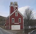
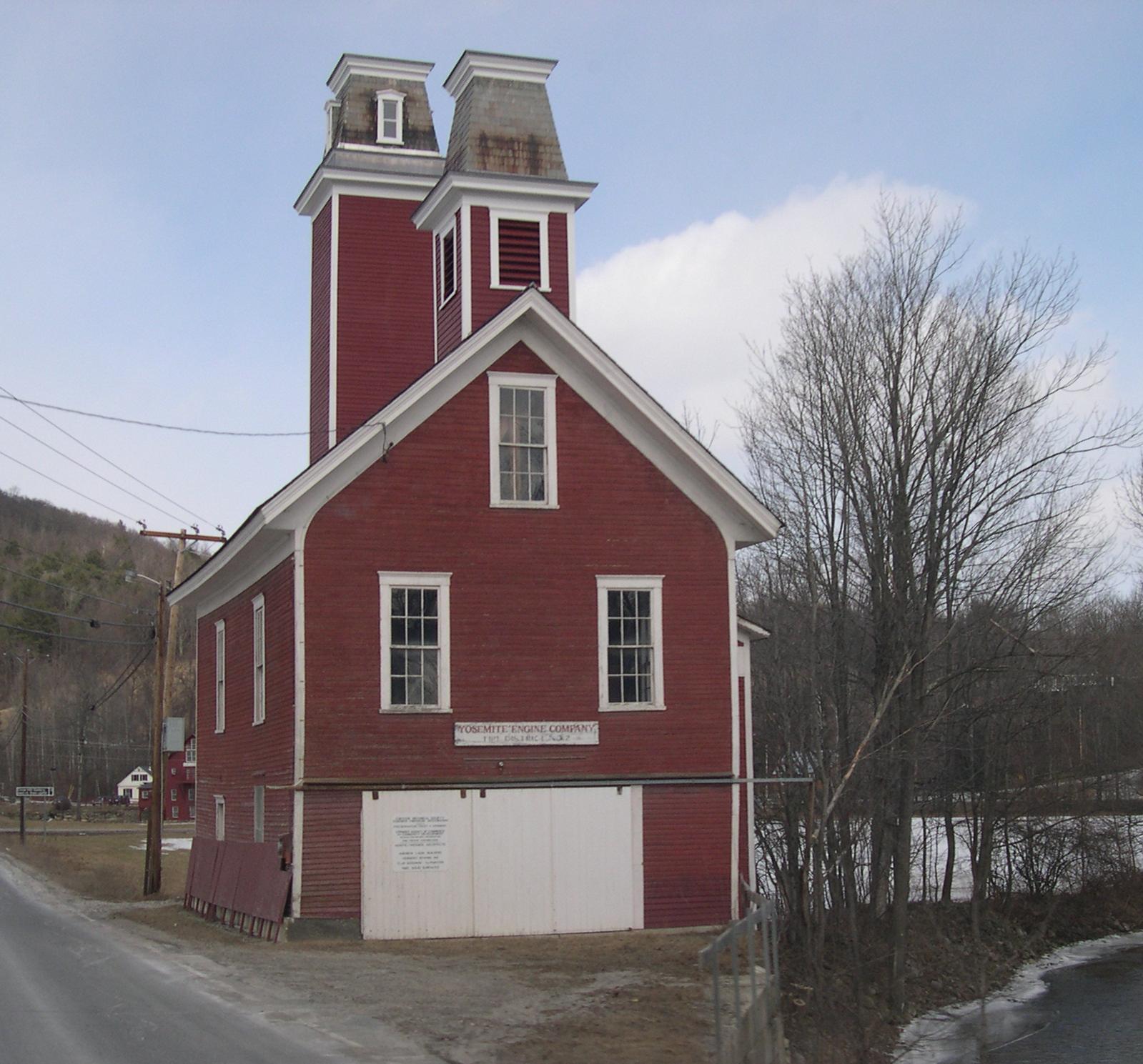
Yosemite Engine Company
References
- ^ a b "American FactFinder". United States Census Bureau. http://factfinder.census.gov. Retrieved 2008-01-31.
- ^ "US Board on Geographic Names". United States Geological Survey. 2007-10-25. http://geonames.usgs.gov. Retrieved 2008-01-31.
- ^ "Former Iraq administrator Bremer now a painter". CNN. March 5, 2009. http://politicalticker.blogs.cnn.com/2009/03/05/former-iraq-administrator-bremer-now-a-painter/. Retrieved 2011-05-11.
External links
- Chester Vermont Government Official Town Web Site
- Chester Vermont community, tourism and business information. Learn all about this Victorian village here: http://www.chestervermont.org/
- http://www.flickr.com/photos/dougtone/sets/72157624691264104/with/4877003689/
Municipalities and communities of Windsor County, Vermont Towns Andover | Baltimore | Barnard | Bethel | Bridgewater | Cavendish | Chester | Hartford | Hartland | Ludlow | Norwich | Plymouth | Pomfret | Reading | Rochester | Royalton | Sharon | Springfield | Stockbridge | Weathersfield | West Windsor | Weston | Windsor | Woodstock

Villages CDPs Other
communitiesBrownsville | Hartford | Lewiston | Plymouth Notch | South Woodstock | Weathersfield Bow | West Hartford
Categories:- Towns in Vermont
- Chester, Vermont
- Populated places in Windsor County, Vermont

Wikimedia Foundation. 2010.