- Orderville, Utah
-
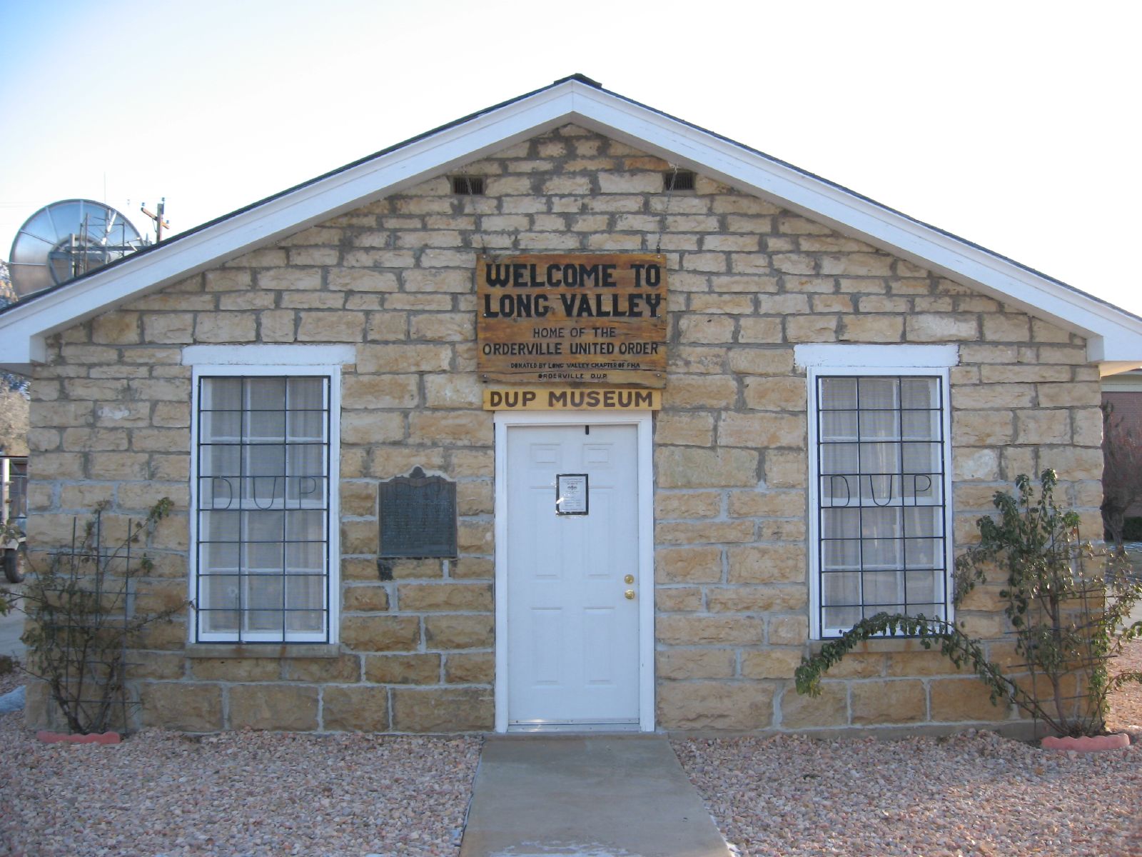
Orderville — Town — Orderville museum of the Daughters of Utah Pioneers Location within the state of Utah
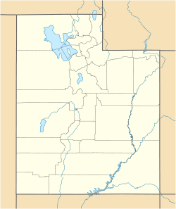
 Orderville
Coordinates: 37°15′44″N 112°39′12″W / 37.26222°N 112.65333°WCoordinates: 37°15′44″N 112°39′12″W / 37.26222°N 112.65333°W Country United States State Utah County Kane Founded 1875 Incorporated 1934 Named for United Order Area – Total 9.2 sq mi (23.8 km2) – Land 9.2 sq mi (23.8 km2) Elevation 5,449 ft (1,661 m) Population (2000) – Total 596 – Density 64.9/sq mi (25/km2) Time zone Mountain (MST) (UTC-7) – Summer (DST) MDT (UTC-6) ZIP code 84758 Area code(s) 435 FIPS code 49-57080[1] GNIS feature ID 1431023[2] Orderville is a town in Kane County, Utah, United States. The population was 596 at the 2000 census.
Contents
Geography
Orderville is located at 37°16′33.39″N 112°37′56.89″W / 37.2759417°N 112.6324694°W (37.262348, -112.653266).[3]
According to the United States Census Bureau, the town has a total area of 9.2 square miles (23.8 km²), all of it land.
Demographics
Historical populations Census Pop. %± 1900 418 — 1910 380 −9.1% 1920 378 −0.5% 1930 439 16.1% 1940 441 0.5% 1950 371 −15.9% 1960 398 7.3% 1970 399 0.3% 1980 423 6.0% 1990 422 −0.2% 2000 596 41.2% As of the census[1] of 2000, there were 596 people, 194 households, and 150 families residing in the town. The population density was 64.9 people per square mile (25.1/km²). There were 240 housing units at an average density of 26.1 per square mile (10.1/km²). The racial makeup of the town was 97.65% White, 0.50% Native American, 0.17% from other races, and 1.68% from two or more races. Hispanic or Latino of any race were 1.51% of the population.
There were 194 households out of which 39.2% had children under the age of 18 living with them, 67.0% were married couples living together, 7.7% had a female householder with no husband present, and 22.2% were non-families. 19.1% of all households were made up of individuals and 13.4% had someone living alone who was 65 years of age or older. The average household size was 3.07 and the average family size was 3.57.
In the town the population was spread out with 36.6% under the age of 18, 5.4% from 18 to 24, 20.5% from 25 to 44, 21.0% from 45 to 64, and 16.6% who were 65 years of age or older. The median age was 35 years. For every 100 females there were 99.3 males. For every 100 females age 18 and over, there were 89.0 males.
The median income for a household in the town was $35,769, and the median income for a family was $37,250. Males had a median income of $31,875 versus $22,321 for females. The per capita income for the town was $12,671. 11.3% of the population and 6.7% of families were below the poverty line. 12.1% of those under the age of 18 are below the poverty line as are 5.6% of those 66 or older.
History
Orderville was established at the direction of Latter-day Saint leader Brigham Young in 1875 specifically to live the United Order, a voluntary form of communalism defined by Joseph Smith. Orderville was settled primarily by destitute refugees from failed settlements on the Muddy River in Nevada. The extreme poverty of these settlers likely contributed significantly to their devotion to the principles of the United Order.
Although the United Order was practiced in many Utah communities during the late 1870s, Orderville was unique in both the level of success it experienced under the communal living style, and in the duration of the experiment. In the course of a few years, Orderville grew into a thriving, self-sufficient community. The success and relative wealth of the community attracted more settlers and Orderville grew to about 700 people. Orderville not only provided for the needs of its population, but produced a significant surplus for sale to other communities, which was used to purchase additional land and equipment.
The Order continued in Orderville for approximately 10 years. During the early 1880s, The Church of Jesus Christ of Latter-day Saints lost interest in the experiment, but Orderville attempted to continue it. In 1885, the enforcement of the Edmunds Anti-Polygamy Act of 1882 effectively ended the Order by jailing many of the Order's leaders and driving many of the others underground.
References
- ^ a b "American FactFinder". United States Census Bureau. http://factfinder.census.gov. Retrieved 2008-01-31.
- ^ "US Board on Geographic Names". United States Geological Survey. 2007-10-25. http://geonames.usgs.gov. Retrieved 2008-01-31.
- ^ "US Gazetteer files: 2010, 2000, and 1990". United States Census Bureau. 2011-02-12. http://www.census.gov/geo/www/gazetteer/gazette.html. Retrieved 2011-04-23.
External links
 Media related to Orderville, Utah at Wikimedia Commons
Municipalities and communities of Kane County, Utah City 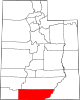
Towns Unincorporated
communitiesGhost town Categories:- Populated places in Kane County, Utah
- Towns in Utah
- Populated places established in 1870


Wikimedia Foundation. 2010.