- Glendale, Utah
Infobox Settlement
official_name = Glendale, Utah
settlement_type =Town
nickname =
motto =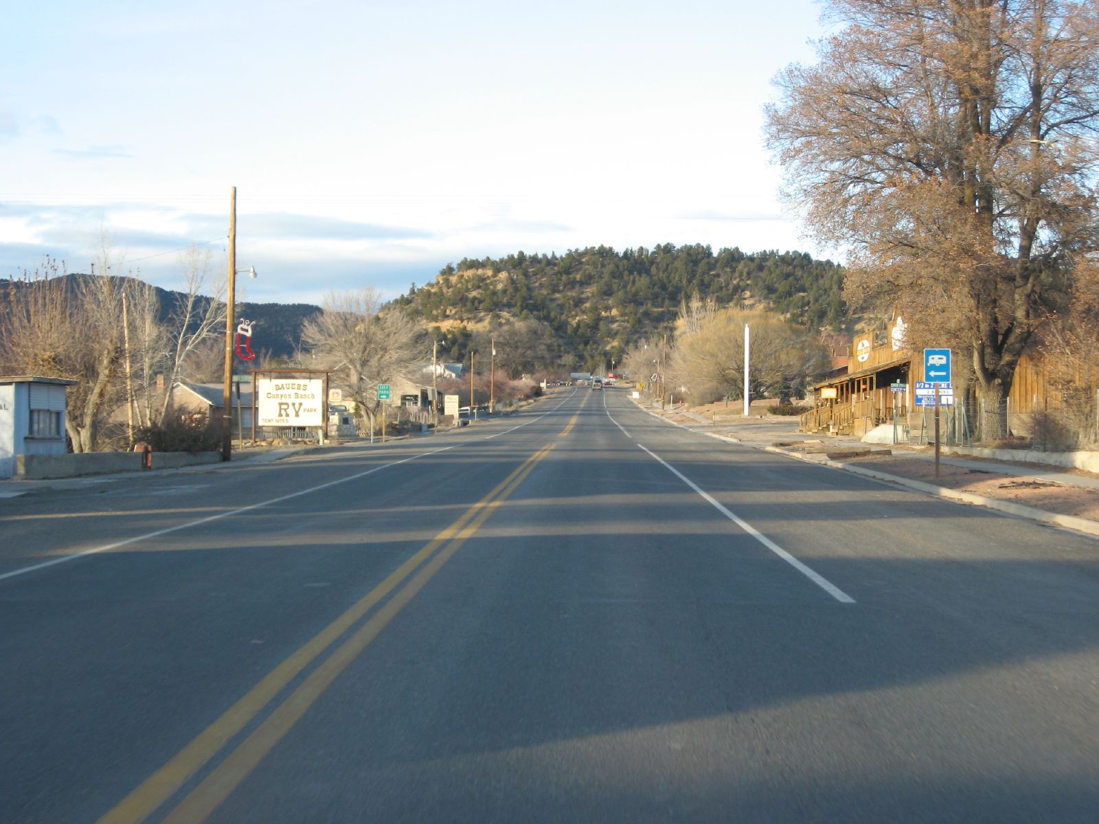
imagesize =
image_caption = U.S. Route 89 passing through Glendale
image_
mapsize = 250px
map_caption = Location of Glendale, Utah
mapsize1 =
map_caption1 =subdivision_type = Country
subdivision_name =United States
subdivision_type1 = State
subdivision_name1 =Utah
subdivision_type2 = County
subdivision_name2 = Kanegovernment_footnotes =
government_type =
leader_title =
leader_name =
leader_title1 =
leader_name1 =
established_title =
established_date =unit_pref = Imperial
area_footnotes =
area_magnitude =
area_total_km2 = 20.2
area_land_km2 = 20.2
area_water_km2 = 0.0
area_total_sq_mi = 7.8
area_land_sq_mi = 7.8
area_water_sq_mi = 0.0population_as_of = 2000
population_footnotes =
population_total = 355
population_density_km2 = 17.6
population_density_sq_mi = 45.5timezone = Mountain (MST)
utc_offset = -7
timezone_DST = MDT
utc_offset_DST = -6
elevation_footnotes =
elevation_m = 1761
elevation_ft = 5778
latd = 37 |latm = 19 |lats = 55 |latNS = N
longd = 112 |longm = 36 |longs = 5 |longEW = Wpostal_code_type =
ZIP code
postal_code = 84729
area_code = 435
blank_name = FIPS code
blank_info = 49-29360GR|2
blank1_name = GNIS feature ID
blank1_info = 1428204GR|3
website =
footnotes =Glendale is a town in Kane County,
Utah ,United States . The population was 355 at the 2000 census. It was settled in 1871 byMormon pioneers.Geography
Glendale is located at coor dms|37|19|55|N|112|36|5|W|city (37.332046, -112.601418)GR|1. It is at convert|5800|ft|m in elevation in Long Valley.
According to the
United States Census Bureau , the town has a total area of 7.8 square miles (20.2 km²), all of it land.Grand Staircase-Escalante National Monument
An entrance to the
Grand Staircase-Escalante National Monument is right in the center of town in Glendale. This rustic and scenic road meets with Skutumpah Road, running through the Grand Staircase and ending at the Grand Staircase Visitor Center in Cannonville, nearBryce Canyon .Demographics
As of the
census GR|2 of 2000, there were 355 people, 116 households, and 88 families residing in the town. Thepopulation density was 45.5 people per square mile (17.6/km²). There were 149 housing units at an average density of 19.1/sq mi (7.4/km²). The racial makeup of the town was 99.15% White, 0.56% Native American, and 0.28% from two or more races. Hispanic or Latino of any race were 3.94% of the population.There were 116 households out of which 38.8% had children under the age of 18 living with them, 71.6% were married couples living together, 4.3% had a female householder with no husband present, and 23.3% were non-families. 20.7% of all households were made up of individuals and 9.5% had someone living alone who was 65 years of age or older. The average household size was 3.06 and the average family size was 3.62.
In the town the population was spread out with 34.1% under the age of 18, 8.5% from 18 to 24, 21.1% from 25 to 44, 23.1% from 45 to 64, and 13.2% who were 65 years of age or older. The median age was 31 years. For every 100 females there were 107.6 males. For every 100 females age 18 and over, there were 101.7 males.
The median income for a household in the town was $35,938, and the median income for a family was $38,500. Males had a median income of $24,722 versus $20,000 for females. The
per capita income for the town was $17,322. About 5.4% of families and 8.1% of the population were below thepoverty line , including 15.0% of those under age 18 and none of those age 65 or over.History
In 1862 ranchers came to Long Valley, the land east of Zion National Park, to graze cattle along the East Fork of the Virgin River. Robert and Isabella Berry named the area now known as Glendale, Berryville. In 1866 when the Berry’s were killed by Indians, the settlers left. It was in 1871 that the Mormons, from the Muddy River settlement in Nevada, came to settle naming the town Glendale. By the 1800’s the Mormon communities in the area had grown in the nearby towns of Orderville and Mt Carmel Junction., Glendale became part of the United Order. The United Order Movement was a program of economic and moral reform begun in 1874 under Brigham Young. On March 29th, 1935 Glendale became an incorporated town. Orderville was the longest existing united order.
References
* [http://www.zionnational-park.com Zion National Park]
* [http://www.eastziontourismcouncil.org/ East Zion Tourism Council]
* [http://www.historyresearch.utah.gov/agencyhistories/423.html]Maps
Wikimedia Foundation. 2010.