- Orangeville, Utah
-
For other places with the same name, see Orangeville (disambiguation).
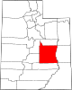
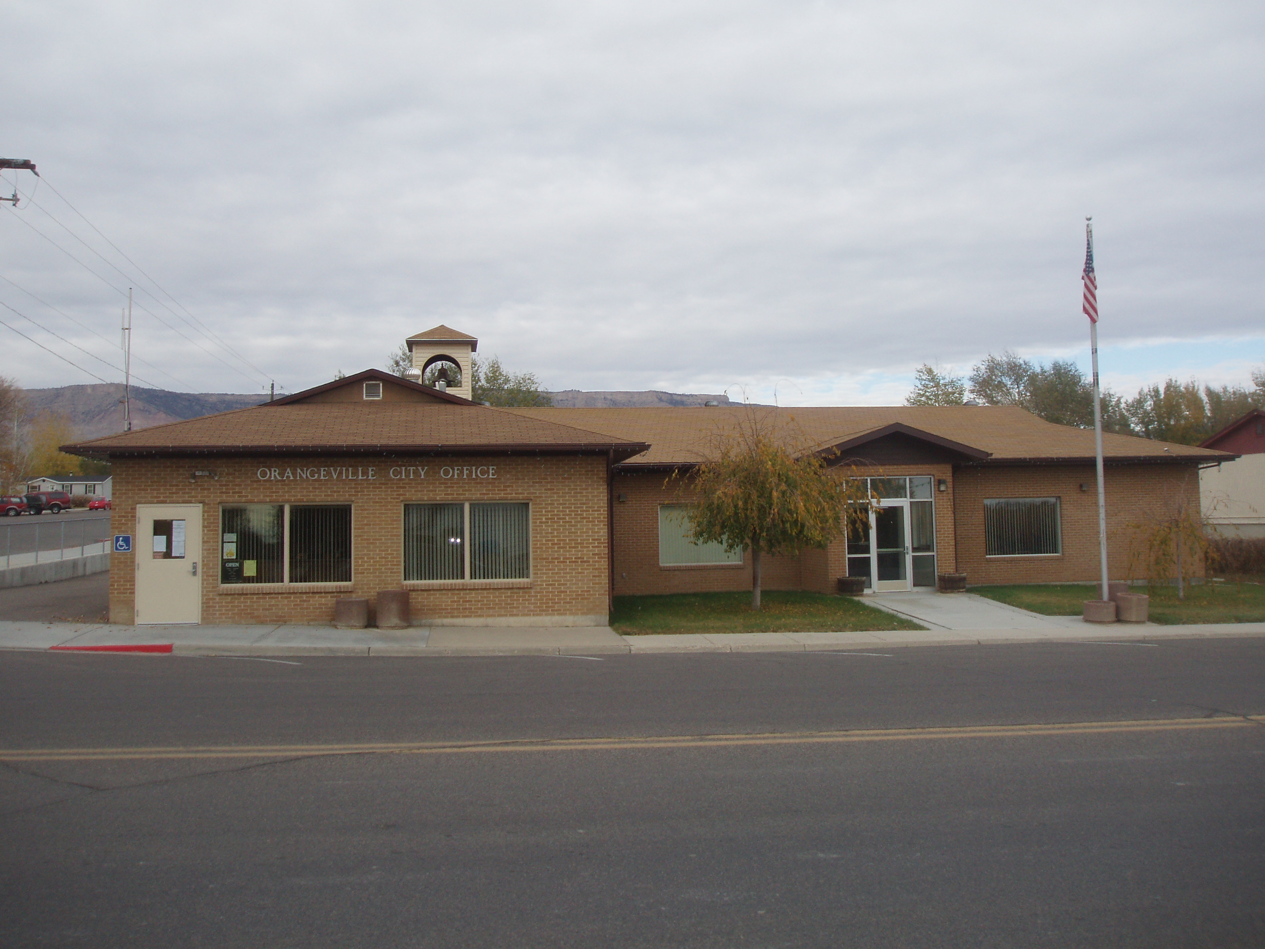
Orangeville, Utah — City — Orangeville City Office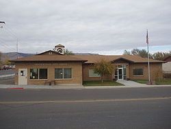 Location of Orangeville, Utah
Coordinates: 39°13′37″N 111°3′22″W / 39.22694°N 111.05611°WCoordinates: 39°13′37″N 111°3′22″W / 39.22694°N 111.05611°W Country United States State Utah County Emery Founded 1878 Incorporated June 6, 1901 Became a city March 1921 Named for Orange Seely Area – Total 1.3 sq mi (3.4 km2) – Land 1.3 sq mi (3.4 km2) – Water 0.0 sq mi (0.0 km2) Elevation 5,778 ft (1,761 m) Population (2000) – Total 1,398 – Density 1,073.5/sq mi (414.5/km2) Time zone Mountain (MST) (UTC-7) – Summer (DST) MDT (UTC-6) ZIP code 84537 Area code(s) 435 FIPS code 49-56860[1] GNIS feature ID 1431021[2] Orangeville is a city in northwestern Emery County, Utah, United States, at the edge of the Manti-La Sal National Forest. The city is at the junction of State Routes 29 and 57, straddling the banks of Cottonwood Creek. The population was 1,398 at the 2000 census.
Contents
Geography
Orangeville is located at 39°13′37″N 111°3′22″W / 39.22694°N 111.05611°W (39.226956, -111.055977).[3]
According to the United States Census Bureau, the city has a total area of 1.3 square miles (3.4 km²), all of it land.
Demographics
Historical populations Census Pop. %± 1890 353 — 1900 623 76.5% 1910 643 3.2% 1920 553 −14.0% 1930 532 −3.8% 1940 652 22.6% 1950 589 −9.7% 1960 571 −3.1% 1970 511 −10.5% 1980 1,309 156.2% 1990 1,459 11.5% 2000 1,398 −4.2% As of the census[1] of 2000, there were 1,398 people, 430 households, and 350 families residing in the city. The population density was 1,073.5 people per square mile (415.2/km²). There were 471 housing units at an average density of 361.7 per square mile (139.9/km²). The racial makeup of the city was 98.43% White, 0.07% African American, 0.43% Native American, 0.14% Asian, 0.50% from other races, and 0.43% from two or more races. Hispanic or Latino of any race were 1.22% of the population.
There were 430 households out of which 51.4% had children under the age of 18 living with them, 73.7% were married couples living together, 4.7% had a female householder with no husband present, and 18.4% were non-families. 16.7% of all households were made up of individuals and 6.0% had someone living alone who was 65 years of age or older. The average household size was 3.25 and the average family size was 3.68.
In the city the population was spread out with 38.4% under the age of 18, 8.6% from 18 to 24, 25.9% from 25 to 44, 19.2% from 45 to 64, and 7.9% who were 65 years of age or older. The median age was 29 years. For every 100 females there were 97.2 males. For every 100 females age 18 and over, there were 95.7 males.
The median income for a household in the city was $45,057, and the median income for a family was $48,942. Males had a median income of $43,382 versus $21,667 for females. The per capita income for the city was $15,160. About 4.2% of families and 7.0% of the population were below the poverty line, including 7.8% of those under age 18 and 3.5% of those age 65 or over.
History
Orangeville was founded in 1878 and was originally known as Upper Castle Dale. In 1879 when a post office was established and, it was named Orangeville after Orange Seely, the first man called to settle Castle Valley.
Mine disaster
Just 12 miles northwest of town is the Wilberg Mine, the site of a mine fire on 19 December 1984 which claimed 27 lives: 18 miners and 9 company officials. The disaster was the worst coal mine fire in Utah history. The escape route of the 27 persons was cut off when the fire quickly engulfed the intake of the 5th Right longwall. The fire was caused by a faulty air compressor, which was allowed to run unattended in an area that was not fire-proofed.[4][citation needed]
References
- ^ a b "American FactFinder". United States Census Bureau. http://factfinder.census.gov. Retrieved 2008-01-31.
- ^ "US Board on Geographic Names". United States Geological Survey. 2007-10-25. http://geonames.usgs.gov. Retrieved 2008-01-31.
- ^ "US Gazetteer files: 2010, 2000, and 1990". United States Census Bureau. 2011-02-12. http://www.census.gov/geo/www/gazetteer/gazette.html. Retrieved 2011-04-23.
- ^ Mine Safety and Health Administration, "Report of Investigation: Underground Coal Mine Fire, Wilberg Mine" (1987)
External links
- Orangeville City at EmeryCounty.com
Municipalities and communities of Emery County, Utah Cities Castle Dale | Ferron | Green River | Huntington | Orangeville
Towns Unincorporated
communityIndian
reservationGhost towns Connellsville | Desert Lake | Mohrland | Victor | Woodside
Categories:- Cities in Utah
- Populated places in Emery County, Utah
- Populated places established in 1877

Wikimedia Foundation. 2010.