- Maligne River
-
Maligne River 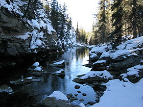
The Maligne River River north of Maligne LakeOrigin Replica Peak
52°32′01″N 117°28′30″W / 52.53361°N 117.475°WMouth Athabasca River
52°56′02″N 118°01′59″W / 52.93389°N 118.03306°WBasin countries  Alberta
  Canada
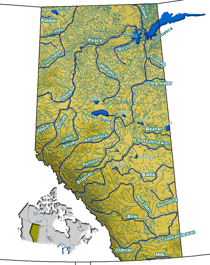
Source elevation 2,048 m (6,719 ft) Mouth elevation 1,019 m (3,343 ft) The Maligne River is a medium-sized river in the Canadian Rockies. It runs through parts of Jasper National Park in Alberta, Canada. The Maligne is a major tributary of the Athabasca River. The river takes from the French word for malignant or wicked. It is theorised that an early French voyageur created this name in reference to the current of the river near its confluence with the Athabasca River.[1]
Contents
Geography
The Maligne River begins south of Maligne Lake. Forming from the meltwater of Replica Peak, the river heads north, passing under Mount Mary Vaux, Lysfran Peak, Mount Unwin, and Mount Charleton before emptying into Maligne Lake. The Maligne River drains the north end of Maligne Lake and heads northwest to Medicine Lake. It then flows west, entering the Athabasca River.[2]
Gallery
-

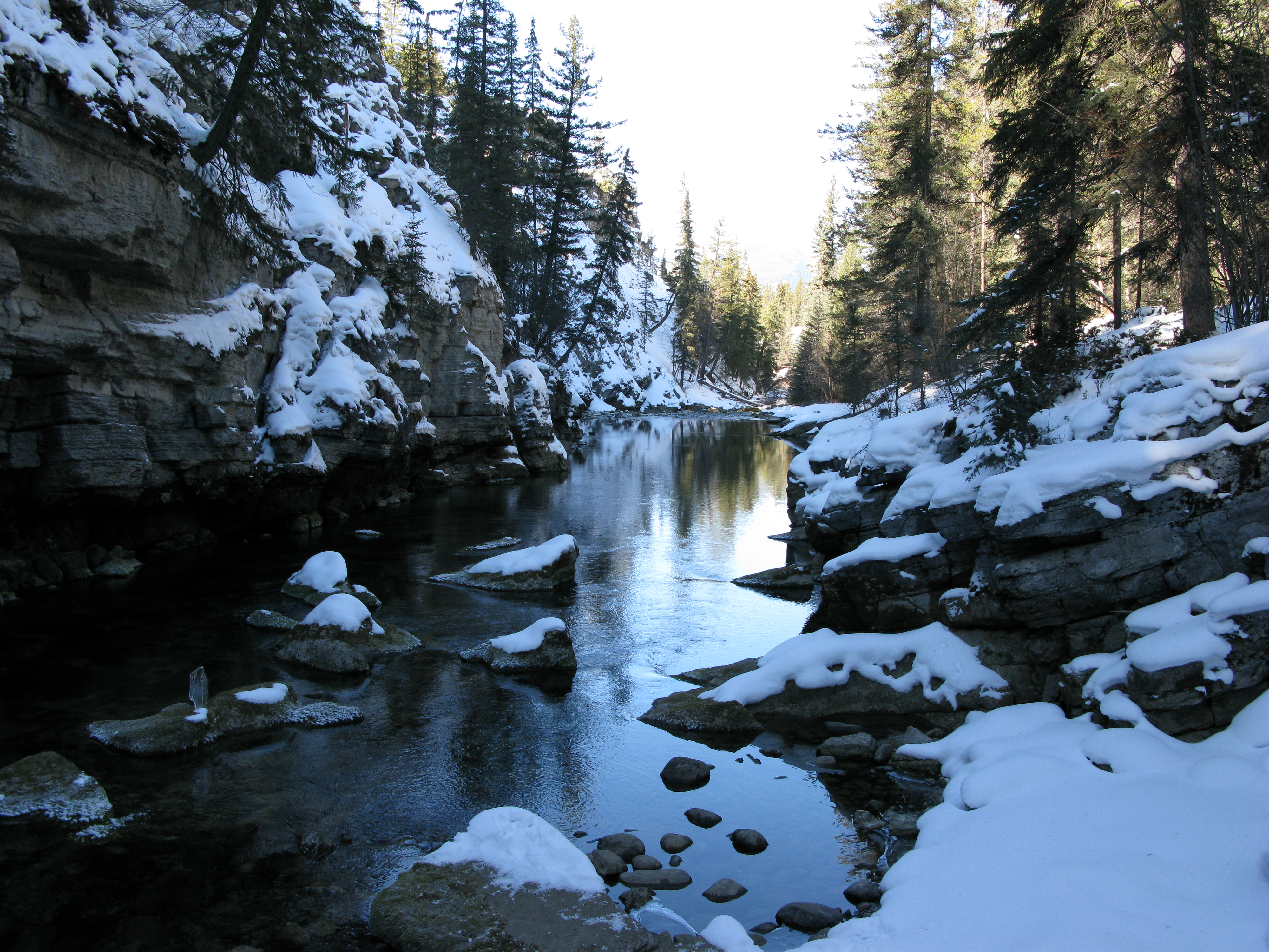
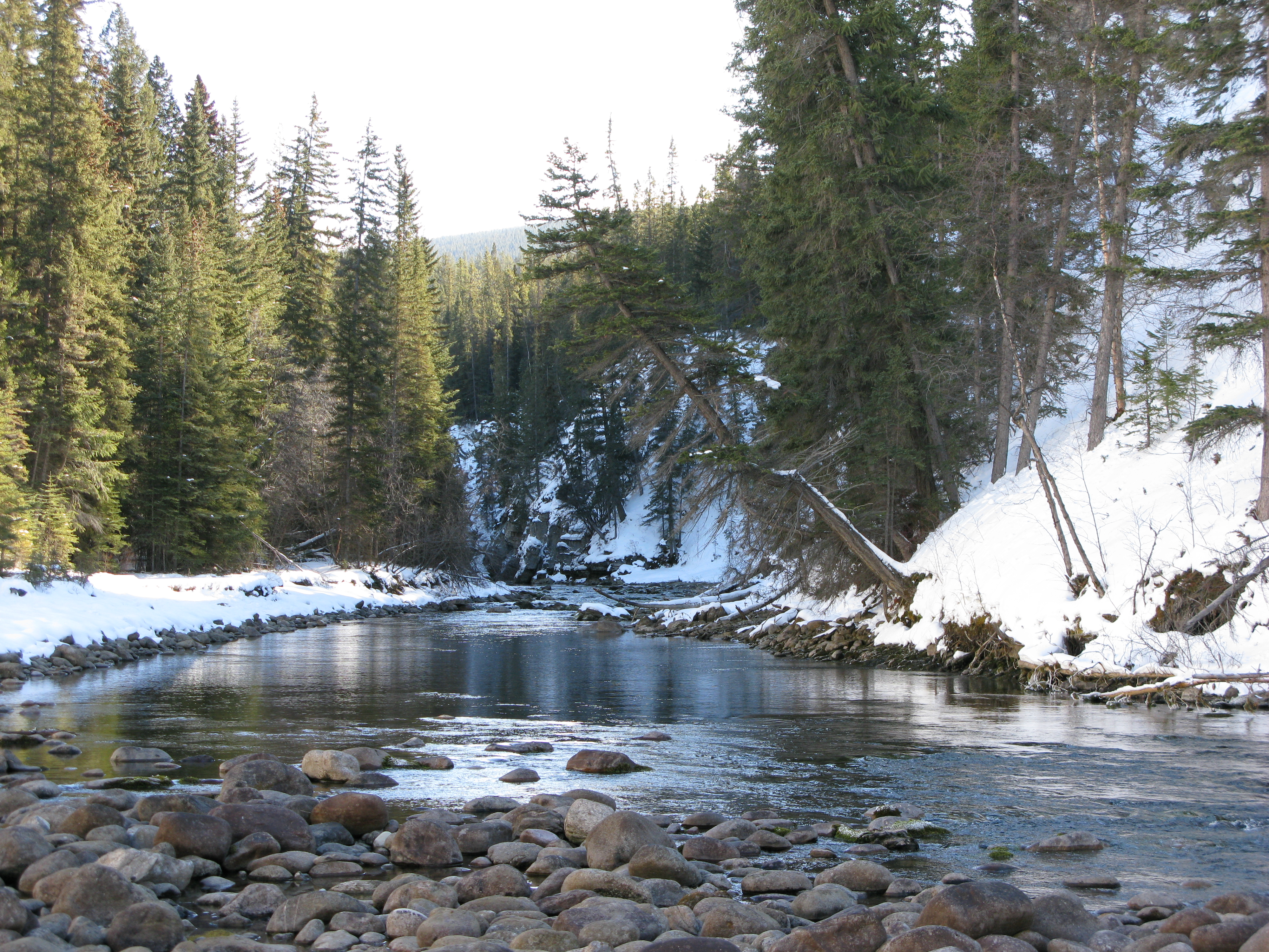
The Maligne River downstream of Maligne Lake
-
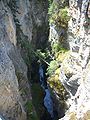
Maligne Canyon
References
See also
- List of Alberta rivers
Hydrography of Alberta Rivers 
Waterfalls Lakes Reservoirs Glaciers Other - Peace–Athabasca Delta
Categories:- Rivers of Alberta
- Alberta geography stubs
-

Wikimedia Foundation. 2010.