- County Route 105 (Suffolk County, New York)
-
County Route 105
Cross River Drive Route information Maintained by SCDPW Length: 5.6 mi[1] (9.0 km) Existed: 1973 – present Major junctions North end: Sound Avenue in Northville  CR 43 in Northville
 NY 25 in Aquebogue
 NY 24 in Flanders
South end:  CR 104 in Flanders
Highway system Numbered highways in New York
Interstate • U.S. • N.Y. (former) • Reference • County (Suffolk)← CR 104CR 106  →
→Suffolk County Route 105 is a major county road in Suffolk County, New York. It is four-lane mostly divided highway that runs from Suffolk County Road 104 to Sound Avenue in Northville, west of the western terminus of Suffolk County Road 48 in Mattituck.
Contents
Route description
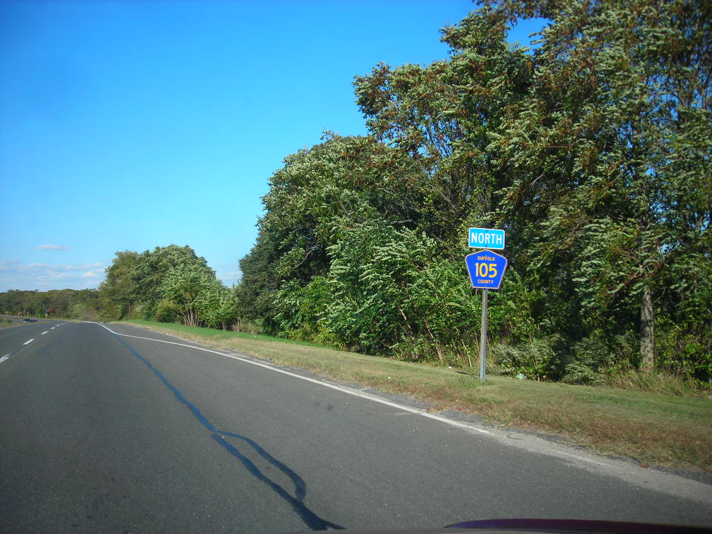
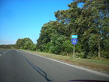 Suffolk County Route 105 heading northbound
The road begins at an at-grade interchange with Suffolk CR 104 in the David Allen Sarnoff Pine Barrens Preservation Area, southwest of Flanders. It immediately curves from an east–west trajectory to a north–south one before its intersection with New York State Route 24. From that point on, the road becomes a semi-limited-access highway as it crosses the Peconic River before running through Riverhead Golf Course and crossing Sawmill Creek. A diamond interchange exists for a park road in Indian Island County Park followed by a quarter-cloverleaf intherchange Hubbard Avenue, and the Main Line of the Long Island Rail Road.[1]
North of New York State Route 25 in Aquebogue, a cloverleaf interchange was planned for the formerly proposed Long Island Expressway Extension. Suffolk CR 105 replaces Union Avenue south of the intersection with Northville Tunrpike in Northville, only to run along the west side of the former Riverhead Air Park, and finally terminates at Sound Avenue.[1]
History
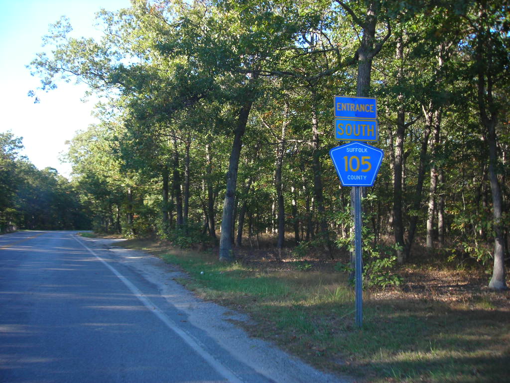
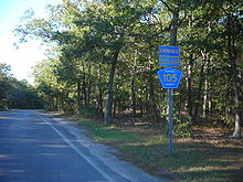 Route 105 Entrance signage
The at-grade interchange with Suffolk CR 104 was built for one purpose; a future extension into Central Suffolk County. The at-grade interchange was to be upgraded to a real interchange, as was the case with many existing intersections. From there, the road was to run west through the David A. Sarnoff Pine Barrens Preserve, then was to cross over Speonk-Riverhead Road, where it was to turn north as it ran along the south and west sides of the Suffolk County Community College Eastern Campus before crossing over Suffolk CR 51 at Bald Hill(not to be confused with Bald Hill in Farmingville). The road was to turn from north back to west as it ran along Hot Water Street and Cranberry Highway, which runs through land that was owned partially by the Calverton Naval Weapons Industrial Reserve Plant. A wye interchange was to exist with Suffolk CR 90 finally terminating at Port Jefferson-Westhampton Beach Highway. This was to be the eastern leg of the formerly proposed Central Suffolk Highway, which was designed to reunite the two sections of New York State Route 24.[2]
References
- ^ a b c Google Maps. Overview map of CR 105 (Map). http://maps.google.com/maps?sourceid=navclient&ie=UTF-8&rlz=1T4ADBF_enUS232US232&q=from%3A%20CR-104%20S%2FQuogue%20Riverhead%20Rd%20%4040.898603%2C%20-72.650425%20to%3A%20CR-105%20%4040.966694%2C%20-72.657521&um=1&sa=N&tab=wl. Retrieved June 8, 2008.
- ^ Anderson, Steve. "Suffolk County Route 105". NYCRoads. http://www.nycroads.com/roads/CR-105/. Retrieved June 8, 2008.
External links
Categories:- County routes in Suffolk County, New York

Wikimedia Foundation. 2010.