- Rochester, New Hampshire
Infobox Settlement
official_name = City of Rochester
settlement_type =City
nickname = TheLilac City
motto =
imagesize =
image_caption = City Hall c. 1910
image_
mapsize = 250px
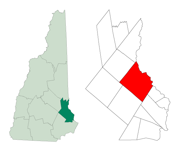
map_caption = Location withinStrafford County ,New Hampshire
mapsize1 =
map_caption1 =
subdivision_type = Country
subdivision_type1 = State
subdivision_type2 = County
subdivision_name =United States
subdivision_name1 =New Hampshire
subdivision_name2 = Strafford
government_type =
leader_title = Mayor
leader_name = John Larochelle
established_title = Settled
established_title2 = Incorporated
established_date = 1749
established_date2 = 1778
area_magnitude =
area_total_sq_mi = 45.8
area_total_km2 = 118.6
area_land_sq_mi = 45.2
area_land_km2 = 116.9
area_water_sq_mi = 0.6
area_water_km2 = 1.6
area_urban_sq_mi =
area_urban_km2 =
area_metro_sq_mi =
area_metro_km2 =
population_as_of = 2007
population_note =
population_total = 30,527
population_metro =
population_urban =
population_density_km2 = 261.1
population_density_sq_mi = 675.4
timezone = EST
utc_offset = -5
timezone_DST = EDT
utc_offset_DST = -4
latd = 43 |latm = 18 |lats = 7 |latNS = N
longd = 70 |longm = 58 |longs = 23 |longEW = W
elevation_m = 69
elevation_ft = 225
website = [http://www.rochesternh.net www.rochesternh.net]
postal_code_type =ZIP code s
postal_code = 03800-03899
area_code = 603
blank_name = FIPS code
blank_info = 33-65140
blank1_name = GNIS feature ID
blank1_info = 0869554
footnotes = Rochester is a city in Strafford County,New Hampshire ,United States . As of the 2000 census, the city population was 28,461, the largest in New Hampshire's Seacoast region. The New Hampshire Office of Energy and Planning estimated its 2007 population at 30,823. [cite web| url=http://www.nh.gov/oep/programs/DataCenter/Population/documents/2007_population_estimates.pdf| title="2007 Population Estimates of New Hampshire Cities and Towns"| date=June 2008| publisher=NH Office of Energy and Planning| accessdate=2008-06-03] The city includes the villages of East Rochester and Gonic. Rochester is home to Skyhaven Airport and the annual Rochester Fair.History
Rochester was once inhabited by
Abenaki Indians of thePennacook tribe. They fished, hunted and farmed, moving locations when their agriculture exhausted the soil for growingpumpkins , squash,beans andmaize . Gonic was called Squamanogonic, meaning "the water of the clay place hill."The town would be one of four granted by Colonial Governor Samuel Shute of
Massachusetts during his brief term. Incorporated in 1722, it was named for his close friend, Laurence Hyde,Earl of Rochester and brother-in-law to King James II. As was customary, tall white pine trees were reserved for use as masts by theRoyal Navy . But hostility with the Indians delayed settlement until 1728, although attacks would continue until 1748. Early dwellings clustered together for protection, beginning near Haven Hill. Due to warfare or disease, after 1749 the Indians were gone. The community at that time included Farmington, which would be incorporated in 1798, and Milton, in 1802.In 1737, the Reverend Amos Main became the first settled pastor of the Congregational Church, located on Rochester Hill. The building would be moved to Rochester Common, which then encompassed 250 acres (1 km²) and was called Norway Plain Mille Common after its abundant
Norway pine s. By 1738, the farming community contained 60 families. A statue of Parson Main, sculpted byGiuseppe Moretti , today presides over the town square.The first large business was
lumber ing, although it would be overtaken by other industries as Rochester developed into amill town with theCochecho River to providewater power . In 1806, 6 tanneries were operating, along with asawmill ,fulling mill, and 2gristmill s. By the 1820s-1830s, the town had a cabinet maker and clockmaker. The Mechanics Company was established in 1834, producingwoolen blanket s which would win the premium quality award at the 1853New York World's Fair . The Norway Plains Woolen Company manufactured blankets used by theUnion Army in the Civil War, and in 1870 wove convert|1600000|yd|m|-5 oftextiles , but by century's end was out of business.In 1854, the E.G. & E. Wallace Shoe Company was established, eventually becoming the city's biggest employer, with over 700 workers in 1901. Its name changed to the Rochester Shoe Corporation in the 1920s. The Kessel Fire Brick Company was established in 1889, and at one time bricks for new buildings at
Harvard University were made in Gonic. Carrying thefreight were fourrailroad s which once passed through Rochester, a major junction betweenHaverhill, Massachusetts andPortland, Maine . Agriculture continued to be important, and in 1875 the Rochester Fair was established. In 1891, Rochester was incorporated as a city.During the
Great Depression , however, several industries left for cheaper operating conditions in the South or went bankrupt. But the affluent mill era left behind some finearchitecture , including the Rochester Public Library, designed by the Concord architects Randlett & Griffin, and built in 1905 with a contribution of $20,000 fromAndrew Carnegie . Another notable structure is the 1908 Rochester City Hall and Opera House by George Gilman Adams, the auditorium of which has a floor that can be raised or lowered.Notable inhabitants
*
Isaac Adams , inventor & manufacturer
*Allard Baird , assistant general manager, theBoston Red Sox
*Jeff Coffin , saxophonist withBela Fleck and the Flecktones
*James Farrington ,United States Representative from New Hampshire
*Samuel D. Felker , governor
*John P. Hale , U.S Senator
*Charles Francis Hall , Arctic explorer
*Lyndon Larouche , political activist & presidential candidate
*Freddy Meyer , professional hockey player,Philadelphia Flyers
*Carol Shea-Porter , representative toUS House of Representatives
*Huntley N. Spaulding , governor
*Rolland H. Spaulding , governor
*Nathaniel Upham (1774-1829), US Representative from New HampshireGeography
Rochester is located at coor dms|43|18|7|N|70|58|23|W|city (43.302081, -70.973106).GR|1
According to the
United States Census Bureau , the city has a total area of convert|45.8|sqmi|lk=on|1, of which convert|45.2|sqmi|abbr=on|1 is land and convert|0.6|sqmi|abbr=on|1 is water, comprising 1.38% of the town. Rochester is drained by the Salmon Falls, Isinglass and Cochecho Rivers. The highest point in Rochester is a southern extension of Nute Ridge, at convert|581|ft abovesea level , occupying the northern corner of the city.Demographics
As of the
census GR|2 of 2000, there were 28,461 people, 11,434 households, and 7,649 families residing in the city. Thepopulation density was 630.3 people per square mile (243.4/km²). There were 11,836 housing units at an average density of 262.1/sq mi (101.2/km²). The racial makeup of the city was 97.12% White, 0.52% African American, 0.22% Native American, 0.87% Asian, 0.03% Pacific Islander, 0.26% from other races, and 0.98% from two or more races. Hispanic or Latino of any race were 0.90% of the population.There were 11,434 households out of which 32.8% had children under the age of 18 living with them, 50.9% were married couples living together, 11.4% had a female householder with no husband present, and 33.1% were non-families. 25.7% of all households were made up of individuals and 9.6% had someone living alone who was 65 years of age or older. The average household size was 2.46 and the average family size was 2.95.
In the city the population was spread out with 25.3% under the age of 18, 7.7% from 18 to 24, 31.5% from 25 to 44, 22.1% from 45 to 64, and 13.5% who were 65 years of age or older. The median age was 37 years. For every 100 females there were 94.6 males. For every 100 females age 18 and over, there were 90.3 males.
The median income for a household in the city was $40,596, and the median income for a family was $47,324. Males had a median income of $34,290 versus $23,319 for females. The
per capita income for the city was $18,859. About 6.3% of families and 8.4% of the population were below thepoverty line , including 11.7% of those under age 18 and 8.8% of those age 65 or over.ites of interest
* Rochester Historical Society Museum
* Rochester Opera House
* Rochester Park
* Spaulding High School
* Lilac MallReferences
* [http://www.geocities.com/powerofz7/ History of Rochester, New Hampshire]
External links
* [http://www.rochesternh.net City website]
* [http://www.rochesterfair.com/ Rochester Fair]
* [http://www.geocities.com/powerofz7/roch1.html Rochester Historical Society]
* [http://www.rpl.lib.nh.us/ Rochester Public Library]
* [http://www.nh.gov/nhes/elmi/htmlprofiles/rochester.html New Hampshire Economic and Labor Market Information Bureau Profile]
Wikimedia Foundation. 2010.