- Currambine, Western Australia
-
Currambine
Perth, Western Australia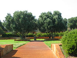
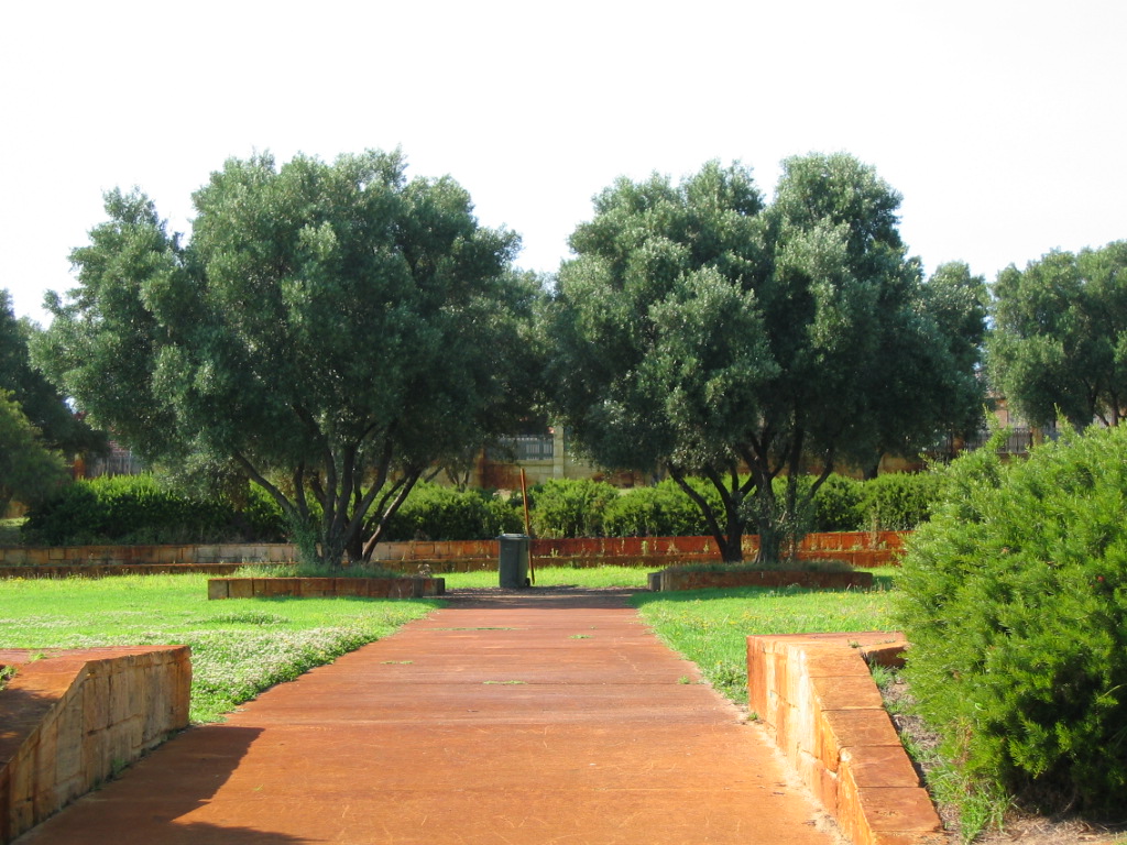
Doncaster Park.
 Currambine
Population: 6,655 (2006 census)[1] Established: 1990s Postcode: 6028 Area: 3.1 km² (1.2 sq mi) Location: - 30 km (19 mi) from Perth
- 7 km (4 mi) from Joondalup
LGA: City of Joondalup State District: Ocean Reef, Joondalup Federal Division: Moore Suburbs around Currambine: Burns Beach Kinross Neerabup Iluka Currambine Joondalup Ocean Reef Connolly Joondalup Coordinates: 31°43′55″S 115°45′04″E / 31.732°S 115.751°E
Currambine is a northern suburb of Perth, the capital city of Western Australia, and is located 30 km north of Perth's central business district. Its Local Government Area is the City of Joondalup. It contains the Currambine Market Place shopping centre and cinema complex.
Contents
History
Currambine was approved as a suburb name in 1980. The name was chosen by the City of Wanneroo in 1979 from a book by A.W. Reed.[2] It is an Aboriginal word from New South Wales meaning "heaps of rocks".[3]
Currambine was developed as a chiefly residential suburb in the mid-1990s on land adjacent to the Currambine train station, which was built and opened in 1993.
Geography
Currambine is bounded by Burns Beach Road to the north, Marmion Avenue to the west, Shenton Avenue to the south and Mitchell Freeway to the west. The suburb is effectively bisected into quarters by the dual carriageways Connolly Drive (north-south) and Moore Drive (east-west).[4]
At the ABS 2006 census, Currambine had a population of 6,655 people living in 2,237 dwellings. The ABS reported that Currambine's workforce, like many northern coastal suburbs, was divided almost evenly between the three major occupation types - clerical and service workers; professionals and managers; and tradespersons and labourers.[1]
Facilities
Currambine is a residential suburb, and is served by the Currambine Market Place shopping centre at its southwestern corner, which also includes a cinema. The southeastern part of the suburb contains 5 holes of the 27-hole Joondalup Golf Course, part of the Joondalup Resort complex based in neighbouring Connolly. The suburb also contains two primary schools, one public (1997) and one private (Currambine Catholic Primary School), and the suburb is within Ocean Reef Senior High School's catchment area.[4]
Transport
Currambine is served by the 470, 471 and 472 Transperth bus routes from Joondalup,[5] operated by Path Transit.
Politics
Currambine is a fairly new suburb and a classic "mortgage belt" suburb which leans towards the Liberal Party in federal elections and the Australian Labor Party in state elections, in line with many northern Perth suburbs.
2004 Federal Election Liberal 55% Labor 35% Greens 4.9% CDP 2.4% One Nation 1.8% 2001 Federal Election Liberal 47% Labor 40% Greens 3.9% Democrats 3.6% One Nation 3.4% 2005 State Election Labor 49% Liberal 39% Greens 6.2% Family First 4.3% CDP 3.3% 2001 State Election Liberal 42% Labor 39% Greens 6.4% One Nation 5.0% CDP 4.2% See also
References
- ^ a b Australian Bureau of Statistics (25 October 2007). "Currambine (State Suburb)". 2006 Census QuickStats. http://www.censusdata.abs.gov.au/ABSNavigation/prenav/LocationSearch?collection=Census&period=2006&areacode=SSC51366&producttype=QuickStats&breadcrumb=PL&action=401. Retrieved 2009-08-31.
- ^ Reed, Alexander Wyclif (1970). Aboriginal place names and their meanings. Sydney, NSW. ISBN 0-589-07097-5. (135 pages)
- ^ Western Australian Land Information Authority. "History of metropolitan suburb names". http://www.landgate.wa.gov.au/corporate.nsf/web/History+of+metropolitan+suburb+names. Retrieved 2007-05-15.
- ^ a b Department of Land Information. StreetSmart® Perth Street Directory (50 (2009) ed.). West Australian Newspapers Ltd. pp. Map 220. ISBN 978-1-921048-28-9.
- ^ Northern 67 timetable, Transperth, effective 8 August 2005. Accessed 2007-01-17
Suburbs of the City of Joondalup | Perth | Western Australia North Burns Beach · Connolly · Currambine · Edgewater · Heathridge · Iluka · Joondalup · Kinross · Ocean Reef
South ¹ Suburb shared with other Local Government AreasCategories:- Suburbs of Perth, Western Australia
- Australian Aboriginal placenames
- Joondalup

Wikimedia Foundation. 2010.