- Marion Township, Livingston County, Michigan
-
Marion Township, Michigan — Township — Township Hall, Coon Lake Road Location within the state of Michigan
 Marion Township, Michigan
Coordinates: 42°33′51″N 83°57′57″W / 42.56417°N 83.96583°WCoordinates: 42°33′51″N 83°57′57″W / 42.56417°N 83.96583°W Country United States State Michigan County Livingston Area – Total 36.3 sq mi (94.1 km2) – Land 35.6 sq mi (92.1 km2) – Water 0.8 sq mi (2.0 km2) Elevation 925 ft (282 m) Population (2000) – Total 6,757 – Density 190.0/sq mi (73.3/km2) Time zone Eastern (EST) (UTC-5) – Summer (DST) EDT (UTC-4) FIPS code 26-51640[1] GNIS feature ID 1626689[2] Marion Township is a civil township of Livingston County in the U.S. state of Michigan. The population was 6,757 at the 2000 census.
Geography
According to the United States Census Bureau, the township has a total area of 36.3 square miles (94 km2), of which, 35.6 square miles (92 km2) of it is land and 0.8 square miles (2.1 km2) of it (2.09%) is water.
Demographics
As of the census[1] of 2000, there were 6,757 people, 2,271 households, and 1,925 families residing in the township. The population density was 190.0 per square mile (73.3/km²). There were 2,388 housing units at an average density of 67.1 per square mile (25.9/km²). The racial makeup of the township was 97.78% White, 0.03% African American, 0.41% Native American, 0.27% Asian, 0.01% Pacific Islander, 0.12% from other races, and 1.38% from two or more races. Hispanic or Latino of any race were 1.04% of the population.
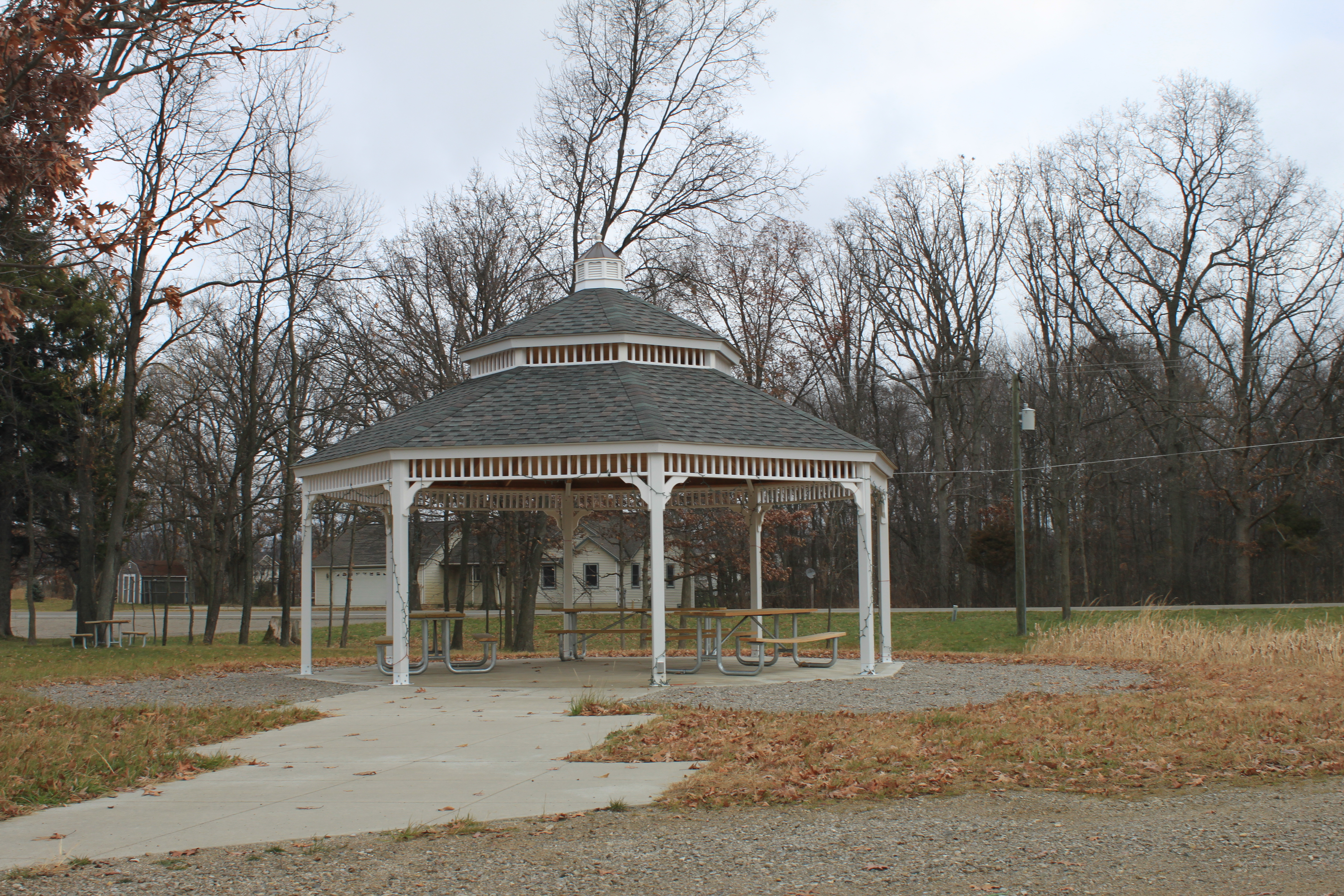
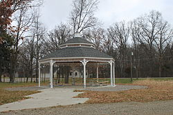 Township Park #2 Gazebo, Coon Lake Rd.
There were 2,271 households out of which 42.2% had children under the age of 18 living with them, 76.7% were married couples living together, 5.3% had a female householder with no husband present, and 15.2% were non-families. 11.8% of all households were made up of individuals and 3.7% had someone living alone who was 65 years of age or older. The average household size was 2.97 and the average family size was 3.22.
In the township the population was spread out with 29.3% under the age of 18, 5.5% from 18 to 24, 31.6% from 25 to 44, 25.8% from 45 to 64, and 7.8% who were 65 years of age or older. The median age was 37 years. For every 100 females there were 102.1 males. For every 100 females age 18 and over, there were 102.1 males.
The median income for a household in the township was $72,378, and the median income for a family was $76,112. Males had a median income of $57,228 versus $33,101 for females. The per capita income for the township was $26,862. About 1.0% of families and 2.0% of the population were below the poverty line, including 1.9% of those under age 18 and none of those age 65 or over.
References
Municipalities and communities of Livingston County, Michigan Cities 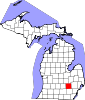
Villages Charter
townshipsGeneral law
townshipsUnincorporated
communitiesAnderson | Bullis Crossing | Chalkerville | Chilson | Cohoctah | Cohoctah Center | Deer Creek | Deerfield Center | Fleming | Green Oak | Gregory | Hallers Corners | Hamburg | Hell | Island Lake | Kaiserville | Lakeland | Nicholson ‡ | Oak Grove | Parkers Corners | Parshallville | Plainfield | Pettysville | Rushton | Tyrone Center | Unadilla | Whitmore Lake ‡ | Williamsville
Footnotes ‡This populated place also has portions in an adjacent county or counties
Categories:- Townships in Livingston County, Michigan


Wikimedia Foundation. 2010.