- Main Street, Gibraltar
-
Main Street 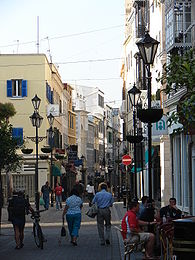
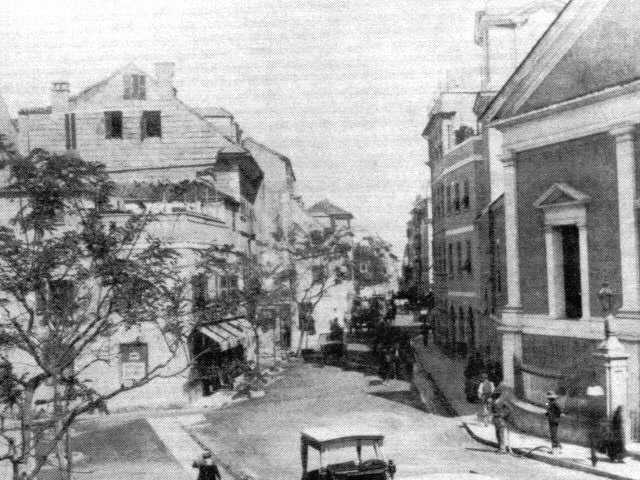
View from Main Street looking north.Former names: Calle Real Owner: Government of Gibraltar Length: 1 km (1 mi) Location: Gibraltar Coordinates: 36°08′23″N 5°21′14″W / 36.139682°N 5.353794°WCoordinates: 36°08′23″N 5°21′14″W / 36.139682°N 5.353794°W  Old photograph of Main Street taken in the late 1800's just outside the Cathedral of St. Mary the Crowned.
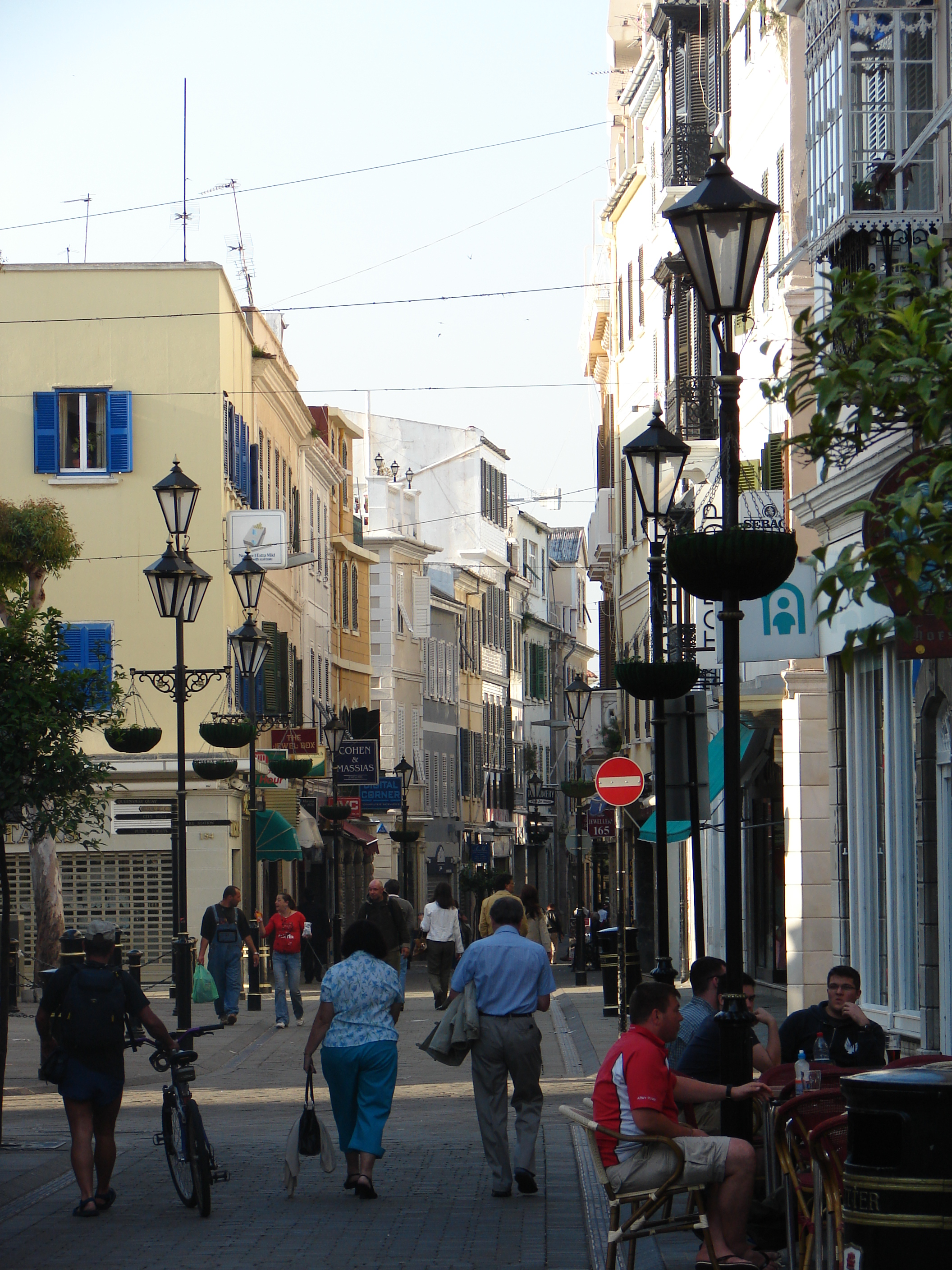
Main Street (Spanish: Calle Real) is the main arterial street in the British overseas territory of Gibraltar.
Main Street is recognised today as Gibraltar’s main commercial and shopping district.[1] It runs north–south through the old town which is pedestrianised and lined with buildings displaying a blend of Genoese, Portuguese, Andalusian, Moorish and British Regency styles,[2] most of which have shops on the ground floor. Upper floors provide residential accommodation or offices. Tourists and visitors will find a wide variety of shops, many of which will be familiar from British high streets.
Irish Town is one of Main Street's sub-districts and was named in the early 19th century when Gibraltar was split into differing quarters.[3]
Gibraltar’s town centre is largely protected by the Gibraltar Heritage Trust and is part of a continual restoration programme.[4]
Grand Casemates Square
Grand Casemates Square at the northern end of Main Street, once the centre of public executions, is the hub of Gibraltar's nightlife, and is filled with numerous restaurants, pubs and bars.
Notable buildings on Main Street
References
- ^ Official Government of Gibraltar London website
- ^ ibid.
- ^ ibid.
- ^ ibid.
Categories:- Streets in Gibraltar
- Europe geography stubs
- Gibraltar stubs
- Europe road stubs

Wikimedia Foundation. 2010.