- Càrn Eige
-
Càrn Eige 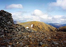
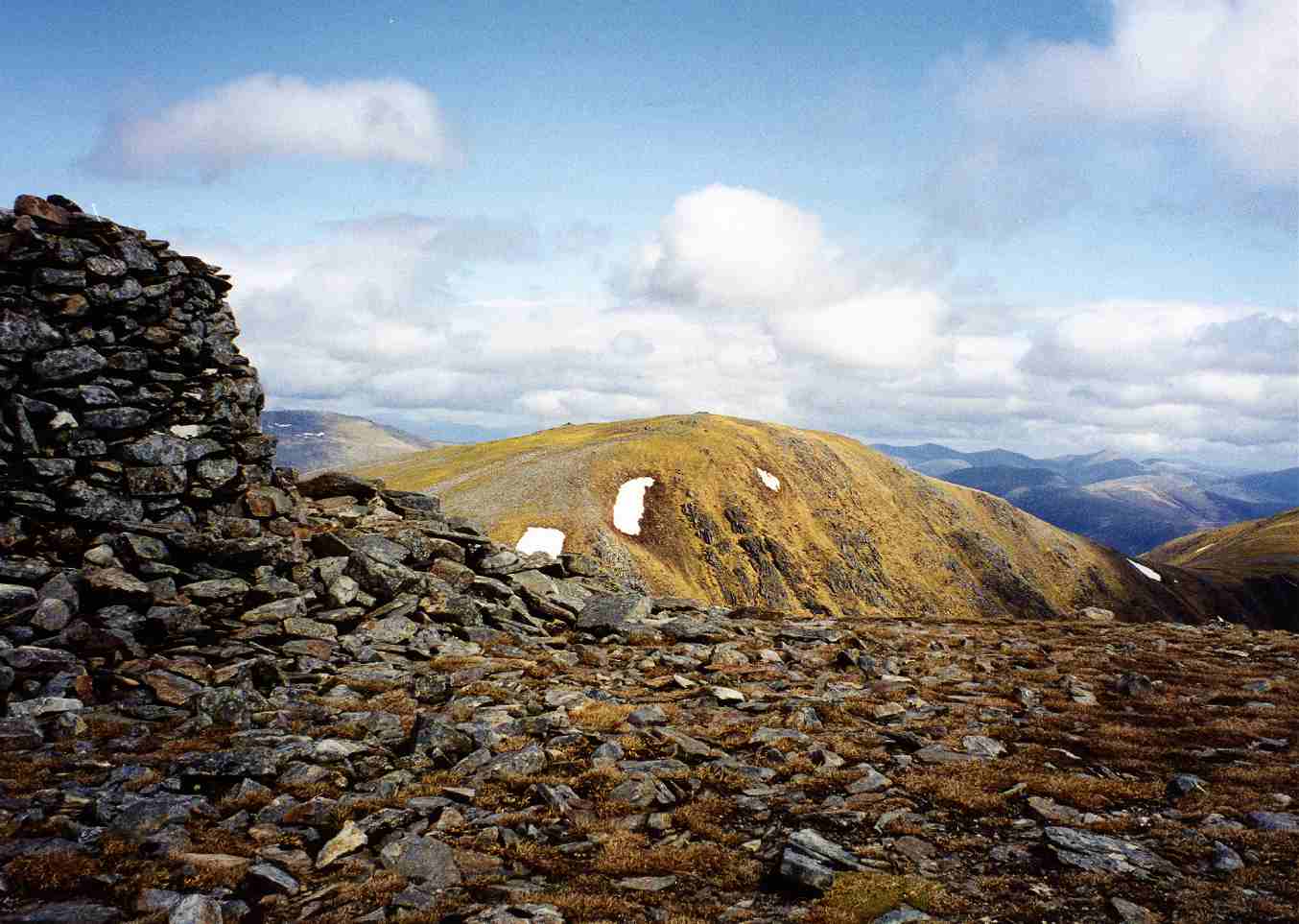
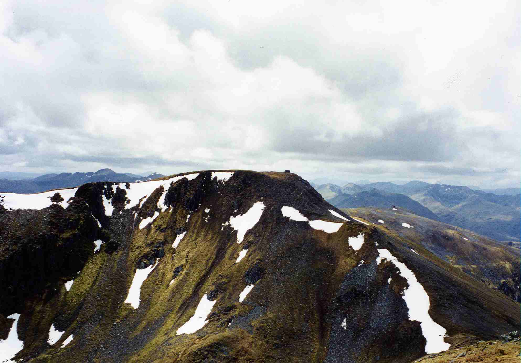
Càrn Eige seen from the large cairn on Mam Sodhail.Elevation 1,183 m (3,881 ft) Prominence c. 1148 m Ranked 2nd in British Isles Parent peak Ben Nevis Listing Marilyn, Munro, County top (Ross and Cromarty) Translation File hill or Notch hill (Gaelic) Pronunciation Scottish Gaelic: [ˈkʰaːrˠn ˈekʲə]
English approx: kaarn ek-yuhLocation Location Glen Affric,  Scotland
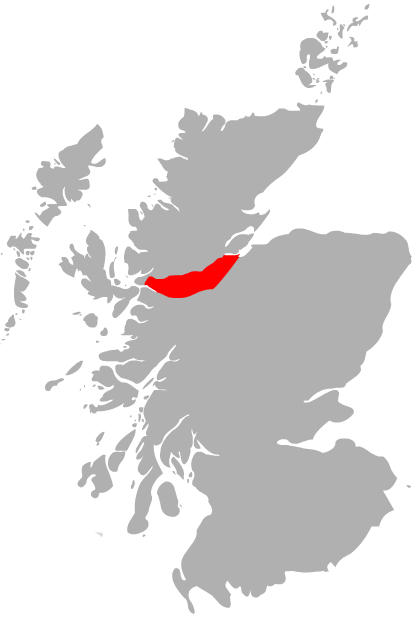
Topo map OS Landranger 25 OS grid NH123262 Càrn Eige, sometimes spelt Càrn Eighe, is the highest mountain in northern Scotland (north of the Great Glen). It is in the Highland council area, on the boundary between the historic counties of Inverness and Ross and Cromarty, on the former lands of the Clan Chisholm.
The mountain is very remote, more than 10 km (6 mi) from the nearest major road, although there is a youth hostel in Glen Affric that is nearer. In terms of relative height, it is the second tallest mountain in the British Isles, after Ben Nevis.
External links
- Càrn Eige is at coordinates 57°17′18″N 5°06′51″W / 57.288438°N 5.114053°WCoordinates: 57°17′18″N 5°06′51″W / 57.288438°N 5.114053°W
- Computer-generated virtual panoramas Càrn Eige Index
- Càrn Eighe on Scottish Sport
- Càrn Eighe on Munro Magic
 A' Chràlaig · A' Ghlas-bheinn · An Socach (Glen Affric) · Aonach Meadhoin · Beinn Fhada · Beinn Fhionnlaidh · Càrn Eige · Càrn Ghluasaid · Ciste Dhubh · Mam Sodhail · Mullach Fraoch-choire · Mullach na Dheiragain · Sail Chaorainn · Sàileag · Sgurr a' Bhealaich Dheirg · Sgurr Fhuaran · Sgurr na Càrnach · Sgurr na Ciste Dhuibhe · Sgùrr nan Ceathramhnan · Sgurr nan Conbhairean · Toll Creagach · Tom a' Choinich
List of Munros Categories:- Ross and Cromarty
- Marilyns of Scotland
- Munros
- Mountains and hills of the Northwest Highlands
- Highland geography stubs

Wikimedia Foundation. 2010.