- Ciste Dhubh
-
Ciste Dhubh 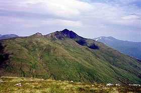
Ciste Dhubh seen from the Corbett Am Bàthach, three km to the south.Elevation 979 m (3,212 ft) Prominence 388 m (1,273 ft) Parent peak Sgurr Fhuaran Listing Munro, Marilyn Translation Black Chest (Gaelic) Pronunciation Scottish Gaelic: [ˈkʰʲiʃtʲə ˈɣuh]
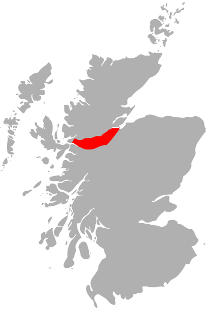
English approx: k-yisht-yuh ghueLocation Location Kintail,  Scotland
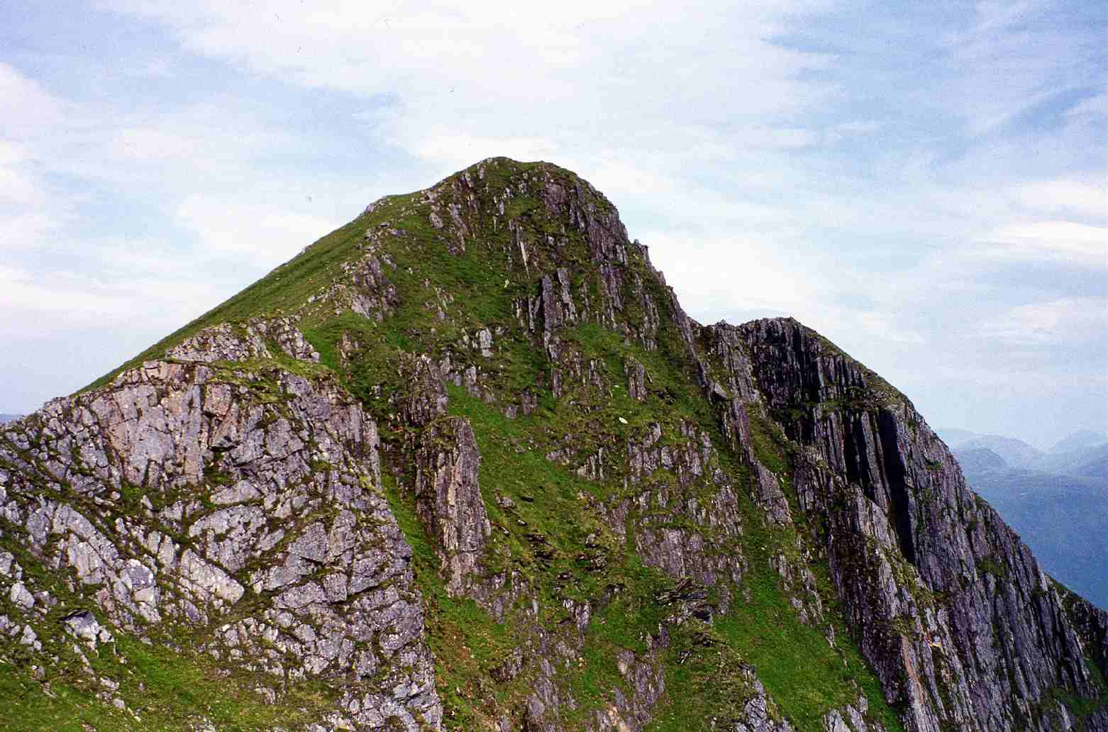
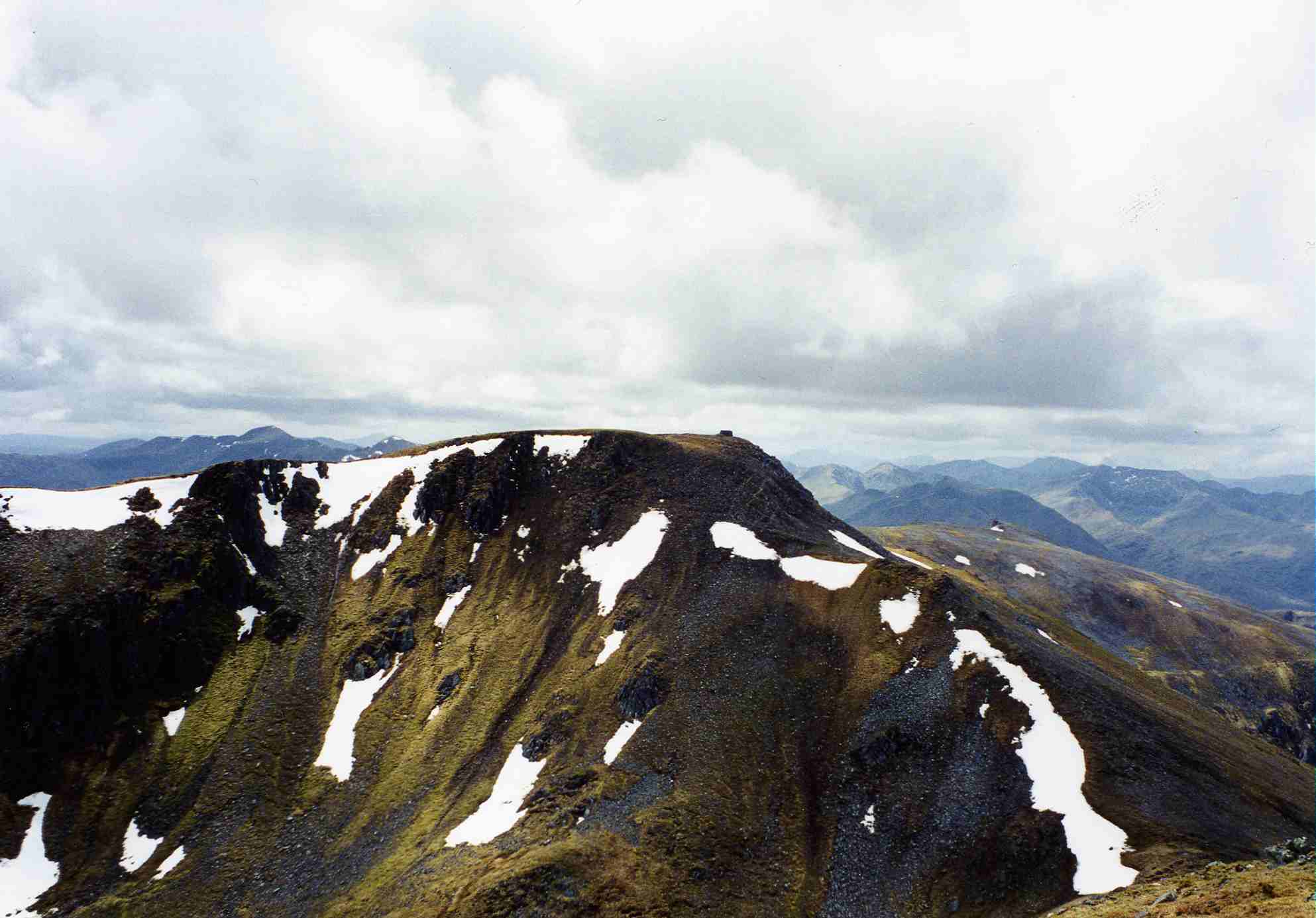
Range Northwest Highlands Topo map OS Landranger 33, OS Explorer 414 OS grid NH062166  The steep approach to Ciste Dhubh‘s summit up the south ridge.
Ciste Dhubh is a mountain situated in the Scottish Highlands between Glen Shiel and Glen Affric. It is a long distance from any centres of population, with Kyle of Lochalsh being almost 30 kilometres away to the west north-west.
Contents
Overview
The mountain reaches a height of 979 metres (3212 feet) and is classed as a Munro and a Marilyn hill. It is generally associated with the Glen Shiel mountains to the west, although it is the most isolated of that group and is often climbed separately. Ciste Dhubh translates from the Gaelic as “Black Chest”; one possible explanation of this is that the mountain's summit rocks often show as dark in colour when viewed from a distance even in good light conditions (see picture).[1] The mountain should not be confused with another Munro, Sgurr na Ciste Duibhe, seven kilometres to the west.
Geography
Ciste Dhubh has a prominent pointed peak with flanks which are predominantly grassy with some craggy areas on its northern slopes. The summit is precipitous and rocky, and the southern ridge is steep and in places quite narrow, it offers few dangers for walkers but care is needed in high winds or under winter conditions. The mountain also has ridges to the north west and north which descend to upper Glen Affric. There are two small corries on either side of the northern ridge. Ciste Dhubh falls to deep glens on all sides except to the south where the mountain is connected to the adjoining Munro of Aonach Meadhoin by a col with a height of 591 metres called the Bealach a’ Choinich (Pass of the Bog). This pass, which lives up to its translated name, is strategically important as it also connects to the adjacent Corbett of Am Bathach and is vital to the walker who wants to climb the mountain with either or both of these adjoining hills.
All drainage from Ciste Dhubh finds its way to the east coast of Scotland over 80 kilometres away. This is surprising for a mountain which stands only 15 kilometres from Loch Duich on the west coast. The mountains north, east and west flanks fall into deep valleys which contain the streams which form the head waters of the River Affric and takes water away north east to the Beauly Firth. Drainage from the southern slopes of the mountain goes south to Loch Cluanie and then east via the River Moriston and Loch Ness to the Moray Firth.
Ascents
The most common ascent of Ciste Dhubh starts on the A87 road just east of the Cluanie Inn on the shores of Loch Cluanie at grid reference NH082118. From here it is a four kilometre walk up the valley of the Allt a’ Chaorainn Bhig to reach the Bealach a’ Choinich; an alternative way of reaching this bealach is by climbing the Corbett of Am Bathach which stands to the east of the valley. From the bealach it is a steep ascent up grassy slopes until the southern ridge is reached which is followed to Ciste Dhubh’s rocky summit. It is possible to ascend the mountain from the Alltbeithe youth hostel in upper Glen Affric by climbing the northern ridge.[2] section
The return to Loch Cluanie can include the adjoining Munro of Aonach Meadhoin, which is a 400 metre ascent from the Bealach a’ Choinich. The view from the top of Ciste Dhubh is very good: the mountain is surrounded by higher peaks but none of them are too close (Ciste Dhubh has a prominence of 388 metres) and the nearby mountains of Mullach Fraoch-choire, A' Chràlaig and Sgurr nan Ceathreamhnan are well seen in detail.
References
- The Munros, Donald Bennett et al.: Scottish Mountaineering Trust: ISBN 0-907521-13-4
- The High Mountains of Britain and Ireland, Irvine Butterfield, ISBN 0-906371-30-9
- Hamish’s Mountain Walk, Hamish Brown, ISBN 1-898573-08-5
- The Magic Of The Munros, Irvine Butterfield, ISBN 0-7153-2168-4
Footnotes
 A' Chràlaig · A' Ghlas-bheinn · An Socach (Glen Affric) · Aonach Meadhoin · Beinn Fhada · Beinn Fhionnlaidh · Càrn Eige · Càrn Ghluasaid · Ciste Dhubh · Mam Sodhail · Mullach Fraoch-choire · Mullach na Dheiragain · Sail Chaorainn · Sàileag · Sgurr a' Bhealaich Dheirg · Sgurr Fhuaran · Sgurr na Càrnach · Sgurr na Ciste Dhuibhe · Sgùrr nan Ceathramhnan · Sgurr nan Conbhairean · Toll Creagach · Tom a' Choinich
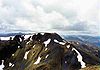
List of Munros Categories:- Munros
- Marilyns of Scotland
- Mountains and hills of the Northwest Highlands

Wikimedia Foundation. 2010.