- Marangaroo, Western Australia
-
Marangaroo
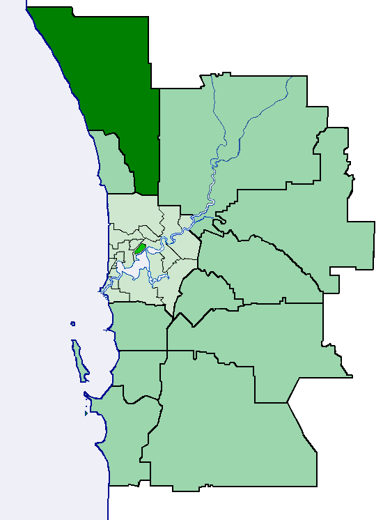
Perth, Western Australia
 Marangaroo
Population: 10,322 (2006 census)[1] Postcode: 6064 Location: 18 km (11 mi) from Perth City LGA: City of Wanneroo State District: Girrawheen Federal Division: Cowan Suburbs around Marangaroo: Kingsley Madeley Landsdale Greenwood Marangaroo Alexander Heights Warwick Girrawheen Koondoola Coordinates: 31°49′41″S 115°50′10″E / 31.828°S 115.836°E
Marangaroo is a suburb of Perth, Western Australia. It is located approximately 18 km north of Perth City, and is home to the Marangaroo Golf Course and two primary schools - Rawlinson Primary School and Marangaroo Primary School.
Marangaroo means place of blue flowers in the local aboriginal language.
References
- ^ Australian Bureau of Statistics (25 October 2007). "Marangaroo (State Suburb)". 2006 Census QuickStats. http://www.censusdata.abs.gov.au/ABSNavigation/prenav/LocationSearch?collection=Census&period=2006&areacode=SSC51891&producttype=QuickStats&breadcrumb=PL&action=401. Retrieved 2008-10-05.
Suburbs and localities of the City of Wanneroo | Perth | Western Australia North West 
North East South Alexander Heights · Darch · Girrawheen · Koondoola · Landsdale · Madeley · Marangaroo · Wangara · Woodvale¹
¹ Suburb shared with the City of JoondalupCategories:- Suburbs of Perth, Western Australia
- Perth, Western Australia geography stubs

Wikimedia Foundation. 2010.