- Chaudière-Appalaches
-
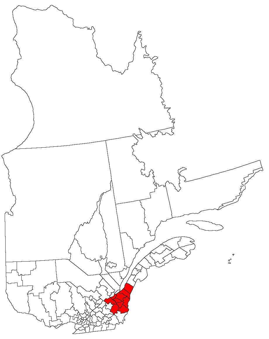
 Map of Quebec showing Chaudière-Appalaches in red
Chaudière-Appalaches is an administrative region in Quebec, Canada. It comprises most of what is historically known as the "Beauce" (French: La Beauce; compare with the electoral district of Beauce). It is named for the Chaudière River and the Appalachian Mountains.
Chaudière-Appalaches has a population of 393,669 residents (2006 census) and a land area of 15,078.67 square kilometres (5,821.91 sq mi). The main cities are Lévis, Saint-Georges, Thetford Mines, Sainte-Marie and Montmagny.
Subdivisions
Regional County Municipalities
- Beauce-Sartigan Regional County Municipality
- Bellechasse Regional County Municipality
- La Nouvelle-Beauce Regional County Municipality
- Les Appalaches Regional County Municipality
- Les Etchemins Regional County Municipality
- L'Islet Regional County Municipality
- Lotbinière Regional County Municipality
- Montmagny Regional County Municipality
- Robert-Cliche Regional County Municipality
Independent City
- Lévis
- Borough of Desjardins
- Borough of Les Chutes-de-la-Chaudière-Est
- Borough of Les Chutes-de-la-Chaudière-Ouest
Major communities
- Beauceville
- Disraeli
- Laurier-Station
- Lévis
- Montmagny
- Saint-Apollinaire
- Saint-Georges
- Saint-Joseph-de-Beauce
- Sainte-Marie
- Saint-Pamphile
- Thetford Mines
External links
- Portail régional de la Chaudière-Appalaches Official website
- Tourisme Chaudière-Appalaches
 Administrative divisions of Chaudière-Appalaches (Region 12)
Regional county municipalities
and equivalent territoriesL'Islet · Montmagny · Bellechasse · Lévis · La Nouvelle-Beauce · Robert-Cliche · Les Etchemins · Beauce-Sartigan · Les Appalaches · Lotbinière
Municipalities Saint-Pamphile · Montmagny · Lévis · Sainte-Marie · Saint-Lambert-de-Lauzon · Beauceville · Saint-Joseph-de-Beauce · Saint-Georges · Disraeli (V) · Thetford Mines
Administrative divisions of QuebecSubdivisions Communities Major cities Montreal · Quebec · Laval · Gatineau · Longueuil · Sherbrooke · Saguenay · Lévis · Trois-Rivières
Regions Abitibi-Témiscamingue · Bas-Saint-Laurent · Capitale-Nationale · Centre-du-Québec · Chaudière-Appalaches · Côte-Nord · Estrie · Gaspésie–Îles-de-la-Madeleine · Laval · Lanaudière · Laurentides · Mauricie · Montérégie · Montréal · Nord-du-Québec · Outaouais · Saguenay–Lac-Saint-Jean
Categories:- Chaudière-Appalaches
- Chaudière-Appalaches geography stubs
Wikimedia Foundation. 2010.