- Okahumpka, Florida
-
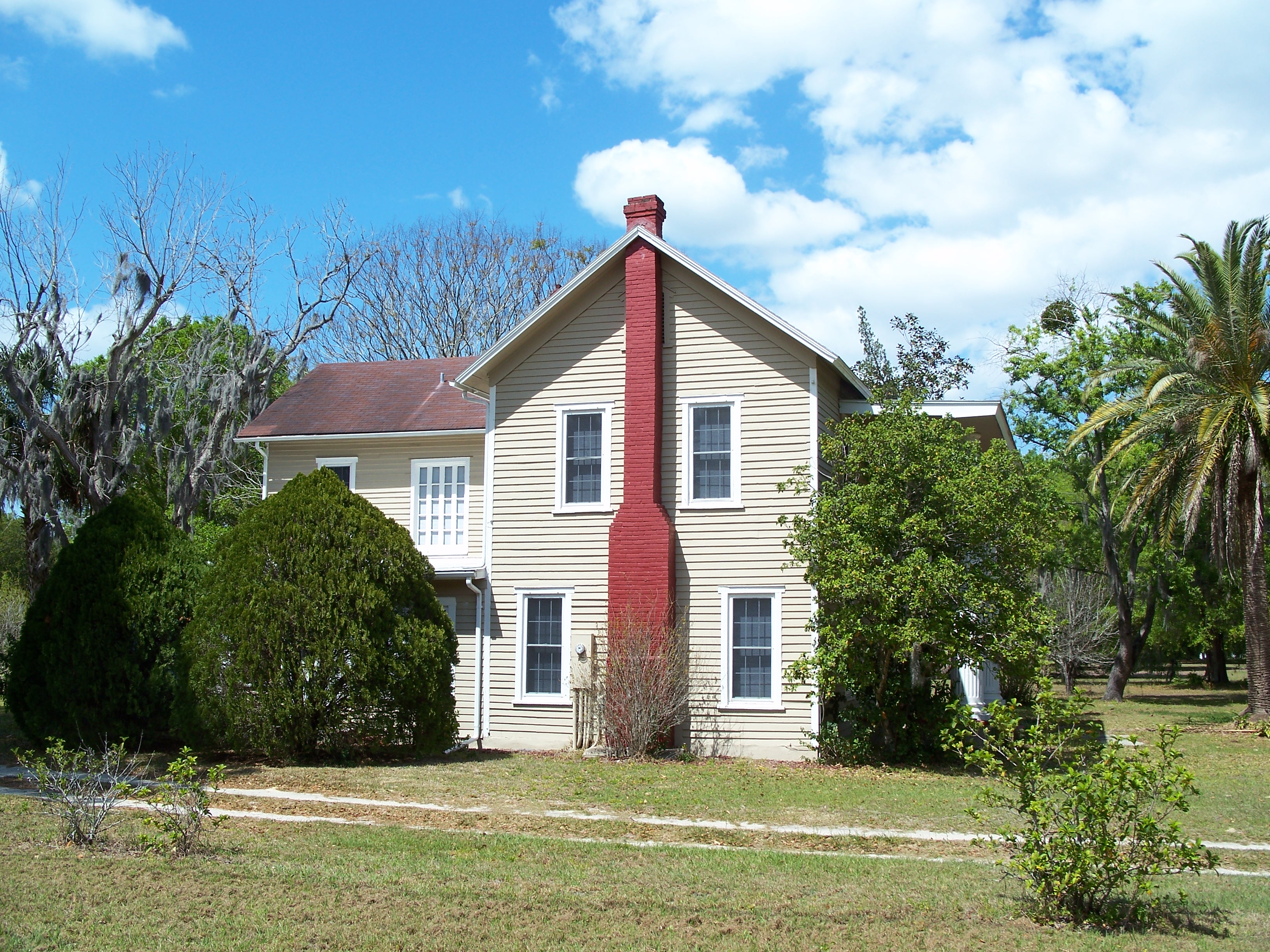
Okahumpka, Florida — CDP — Historic Campbell House Location in Lake County and the state of Florida
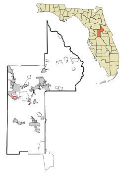
Coordinates: 28°44′44″N 81°54′0″W / 28.74556°N 81.9°WCoordinates: 28°44′44″N 81°54′0″W / 28.74556°N 81.9°W Country  United States
State  Florida
County Lake Area – Total 0.2 sq mi (0.6 km2) – Land 0.2 sq mi (0.6 km2) – Water 0 sq mi (0 km2) Elevation 85 ft (26 m) Population (2000) – Total 251 – Density 1,255/sq mi (418.3/km2) Time zone Eastern (EST) (UTC-5) – Summer (DST) EDT (UTC-4) ZIP code 34762 Area code(s) 352 FIPS code 12-51150[1] GNIS feature ID 0288068[2] Okahumpka is a census-designated place (CDP) in Lake County, Florida, United States. The population was 251 at the 2000 census. It is part of the Orlando–Kissimmee Metropolitan Statistical Area. A service plaza on the nearby Florida Turnpike is named after this town.
Geography
Okahumpka is located at 28°44′44″N 81°54′0″W / 28.74556°N 81.9°W (28.745595, -81.899934).[3]
According to the United States Census Bureau, the CDP has a total area of 0.2 square miles (0.52 km2), all of it land.
Demographics
As of the census[1] of 2000, there were 251 people, 108 households, and 72 families residing in the CDP. The population density was 1,049.1 people per square mile (403.8/km²). There were 113 housing units at an average density of 472.3/sq mi (181.8/km²). The racial makeup of the CDP was 98.80% White, 0.80% African American, 0.40% from other races. Hispanic or Latino of any race were 0.80% of the population.
There were 108 households out of which 26.9% had children under the age of 18 living with them, 45.4% were married couples living together, 14.8% had a female householder with no husband present, and 33.3% were non-families. 25.9% of all households were made up of individuals and 7.4% had someone living alone who was 65 years of age or older. The average household size was 2.32 and the average family size was 2.74.
In the CDP the population was spread out with 18.7% under the age of 18, 9.6% from 18 to 24, 29.9% from 25 to 44, 30.3% from 45 to 64, and 11.6% who were 65 years of age or older. The median age was 40 years. For every 100 females there were 105.7 males. For every 100 females age 18 and over, there were 106.1 males.
The median income for a household in the CDP was $19,219, and the median income for a family was $50,268. Males had a median income of $25,313 versus $20,179 for females. The per capita income for the CDP was $12,684. About 17.5% of families and 31.4% of the population were below the poverty line, including 74.4% of those under the age of eighteen and 29.6% of those sixty five or over.
References
- ^ a b "American FactFinder". United States Census Bureau. http://factfinder.census.gov. Retrieved 2008-01-31.
- ^ "US Board on Geographic Names". United States Geological Survey. 2007-10-25. http://geonames.usgs.gov. Retrieved 2008-01-31.
- ^ "US Gazetteer files: 2010, 2000, and 1990". United States Census Bureau. 2011-02-12. http://www.census.gov/geo/www/gazetteer/gazette.html. Retrieved 2011-04-23.
Municipalities and communities of Lake County, Florida Cities Clermont | Eustis | Fruitland Park | Groveland | Leesburg | Mascotte | Minneola | Mount Dora | Tavares | Umatilla

Towns CDPs Altoona | Astor | Citrus Ridge‡ | Ferndale | Lake Kathryn | Lake Mack-Forest Hills | Lisbon | Mount Plymouth | Okahumpka | Paisley | Pine Lakes | Pittman | Silver Lake | Sorrento | Yalaha
Unincorporated
communitiesGrand Island | Lanier | Orange Bend | Orange Home | Sloans Ridge | Stuckey
Footnotes ‡This populated place also has portions in an adjacent county or counties
Categories:- Census-designated places in Lake County, Florida
- Greater Orlando


Wikimedia Foundation. 2010.