- Palo Cedro, California
-
Palo Cedro — census-designated place — Windmill, Downtown Palo Cedro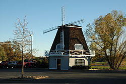 Location in Shasta County and the state of California
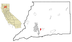
Coordinates: 40°33′4″N 122°14′3″W / 40.55111°N 122.23417°WCoordinates: 40°33′4″N 122°14′3″W / 40.55111°N 122.23417°W Country  United States
State  California
County Shasta Area[1] – Total 3.754 sq mi (9.722 km2) – Land 3.679 sq mi (9.528 km2) – Water 0.075 sq mi (0.194 km2) 2.00% Elevation 465 ft (143 m) Population (2010) – Total 1,269 – Density 338/sq mi (130.5/km2) Time zone Pacific (PST) (UTC-8) – Summer (DST) PDT (UTC-7) ZIP code 96073 Area code(s) 530 FIPS code 06-55296 GNIS feature ID 0230275 Palo Cedro is a census-designated place (CDP) in Shasta County, California, United States. The population was 1,269 at the 2010 census, up from 1,247 at the 2000 census. It is 8 miles (13 km) east of Redding, California. The communities of Bella Vista (pop. 2,781), Millville (pop. 727), Shingletown (pop. 2,283), Oak Run (pop. 760),[citation needed] Whitmore (pop. 593),[citation needed] and Round Mountain (pop. 155) lie within a fifteen-mile (24 km) radius.
Contents
History
The earliest history of Palo Cedro comes from the diary of John Work. It is known that he and a group from the Hudson Bay Fur Traders passed along Cow Creek through the area now known as Palo Cedro in 1832
In 1883 a post office was established for this area but at that time the town was known as Albertson which was later changed to Roberts in 1885 and finally to Palo Cedro in 1893.
In the early 1890s T.W.H. Shannahan and Joe Enright bought 30 acres (120,000 m2) of land from Lem Benton and had it divided into 12 lots. Their dream of a town never materialized and the tree for which the site was named was cut down. Palo Cedro means "Cedarwood."
In 1897 or shortly before, the Anderson and Bella Vista Railroad was constructed by the Terry Lumber Company from Anderson to Bella Vista, passing through the settlement of Palo Cedro. Miners used this railroad, as did the Terry Lumber Company at Bella Vista. The train brought groceries and mail to the villages along its route. It also had a passenger car.
In the early 1900s the stage route went from Redding through Palo Cedro, Millville, Oak Run, and on to Fall River Mills.
Palo Cedro's first school house was located near the corner of Hillside Drive and Deschutes Road on the south side of town but was later moved to a site near the Grange Hall which is on the north side of Palo Cedro. The school remained there until the "new" Junction School was built on the south side of town in 1960.
In 1907 or thereabouts, Frank and Mary Love owned the Palo Cedro store. The store was on the west side of the tracks and their house on the east. There was a two story house on the northeast corner of Deschutes Road and Old Forty-Four Drive which may, at one time, have been a stopping place for stage drivers and travelers.
Sarah Addington later owned the Palo Cedro store. She was also the postmaster and handed the position down to her daughter, Mary Jones. She moved the post office next door into her home. John Gebauer has since owned the store. In the 1960s John moved to his new building on the south east side of Palo Cedro with several one-story spaces for commercial businesses. The largest business was the Palo Cedro Market and his son, John, now operates it. The post office moved into a part of John's building and Mary's assistants were her sisters, and the postmaster was Sylvia Metz. Requiring more space the post office was later moved to a two-story building on the north side of Palo Cedro.
The first Grange Hall and Feed Store were constructed in the early 1930s just off Deschutes Road on Old Highway Forty-Four. The building was two stories with the meeting and/or dance hall upstairs. The dining room was downstairs in back and the feed store in front. This building burned down in the early 1940s and was immediately replaced with the one story hall one can see today. The feed store was built on the north side of Old Forty-Four Drive and is still there today.
As Palo Cedro continued to grow more services were needed, and the first independently-owned pharmacy opened in August 1975. The community-based pharmacy started operations after remodeling an auto body shop, but moved to their current location on the south side of Highway 44 off Deschutes Rd. to accommodate a growing business. Palo Cedro Pharmacy continues to be the place where everyone knows your name, and where friends and family gather to chat about their day. Don't be surprised, if you find an old photo of yourself or a friend on the wall. Palo Cedro Pharmacy has an eclectic mix of pictures, memorabilia, and antiques collected over the last 40 years showing how the town and pharmacy has changed over the years. Palo Cedro Pharmacy is a thriving business to this day. The current mayor of Palo Cedro is Max Jenkins.
Geography
Palo Cedro is located at 40°33′4″N 122°14′3″W / 40.55111°N 122.23417°W (40.551091, -122.234255)[2].
According to the United States Census Bureau, the CDP has a total area of 3.8 square miles (9.8 km2), 98.00% of it land, and 2.00% of it water.
Demographics
2010
The 2010 United States Census[3] reported that Palo Cedro had a population of 1,269. The population density was 338.1 people per square mile (130.5/km²). The racial makeup of Palo Cedro was 1,164 (91.7%) White, 7 (0.6%) African American, 24 (1.9%) Native American, 6 (0.5%) Asian, 1 (0.1%) Pacific Islander, 22 (1.7%) from other races, and 45 (3.5%) from two or more races. Hispanic or Latino of any race were 74 persons (5.8%).
The Census reported that 1,260 people (99.3% of the population) lived in households, 4 (0.3%) lived in non-institutionalized group quarters, and 5 (0.4%) were institutionalized.
There were 474 households, out of which 153 (32.3%) had children under the age of 18 living in them, 318 (67.1%) were opposite-sex married couples living together, 41 (8.6%) had a female householder with no husband present, 24 (5.1%) had a male householder with no wife present. There were 18 (3.8%) unmarried opposite-sex partnerships, and 7 (1.5%) same-sex married couples or partnerships. 70 households (14.8%) were made up of individuals and 38 (8.0%) had someone living alone who was 65 years of age or older. The average household size was 2.66. There were 383 families (80.8% of all households); the average family size was 2.89.
The population was spread out with 289 people (22.8%) under the age of 18, 74 people (5.8%) aged 18 to 24, 192 people (15.1%) aged 25 to 44, 429 people (33.8%) aged 45 to 64, and 285 people (22.5%) who were 65 years of age or older. The median age was 48.3 years. For every 100 females there were 96.4 males. For every 100 females age 18 and over, there were 95.6 males.
There were 504 housing units at an average density of 134.3 per square mile (51.8/km²), of which 411 (86.7%) were owner-occupied, and 63 (13.3%) were occupied by renters. The homeowner vacancy rate was 1.9%; the rental vacancy rate was 7.2%. 1,072 people (84.5% of the population) lived in owner-occupied housing units and 188 people (14.8%) lived in rental housing units.
2000
As of the census[4] of 2000, there were 1,247 people, 436 households, and 367 families residing in the CDP. The population density was 330.1 people per square mile (127.4/km²). There were 447 housing units at an average density of 118.3 per square mile (45.7/km²). The racial makeup of the CDP was 93.10% White, 0.56% African American, 1.12% Native American, 1.52% Asian, 0.88% from other races, and 2.81% from two or more races. Hispanic or Latino of any race were 2.57% of the population.
There were 436 households out of which 37.6% had children under the age of 18 living with them, 74.5% were married couples living together, 7.8% had a female householder with no husband present, and 15.6% were non-families. 13.3% of all households were made up of individuals and 5.3% had someone living alone who was 65 years of age or older. The average household size was 2.85 and the average family size was 3.12.
In the CDP the population was spread out with 27.7% under the age of 18, 6.7% from 18 to 24, 22.7% from 25 to 44, 28.7% from 45 to 64, and 14.2% who were 65 years of age or older. The median age was 41 years. For every 100 females there were 95.8 males. For every 100 females age 18 and over, there were 94.8 males.
The median income for a household in the CDP was $51,471, and the median income for a family was $60,385. Males had a median income of $47,232 versus $33,125 for females. The per capita income for the CDP was $23,419. About 5.4% of families and 5.5% of the population were below the poverty line, including 14.1% of those under age 18 and none of those age 65 or over.
Politics
In the state legislature Palo Cedro is located in the 4th Senate District, represented by Republican Doug LaMalfa, and in the 2nd Assembly District, represented by Republican Jim Nielsen. Federally, Palo Cedro is located in California's 2nd congressional district, which has a Cook PVI of R +13[5] and is represented by Republican Wally Herger.
Education
- Elementary Schools:
- North Cow Creek School
- Junction Elementary School
- Chrysalis Charter School
- Middle Schools
- Junction Intermediate School
- Saint Francis Middle School
- Chrysalis Charter School
- High Schools
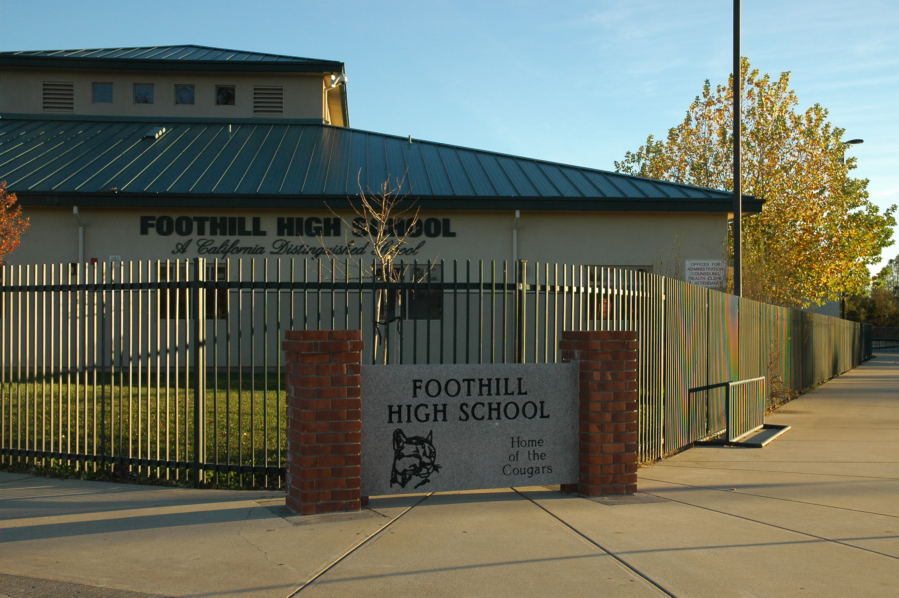
- Foothill High School has an API score of 817, making it one of the best public schools in northern California.
- Bishop Quinn High School
Image gallery
-
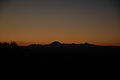
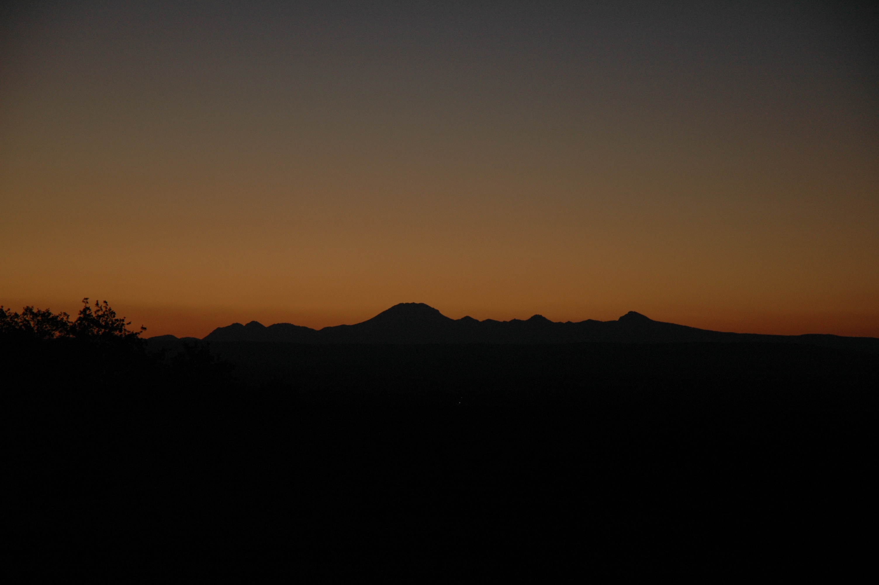
View from Palo Cedro of Sunrise over Mount Lassen (September 2007)
-
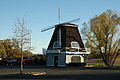
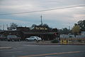
Windmill landmark in Palo Cedro shopping center (November 2007)
-
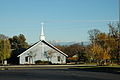
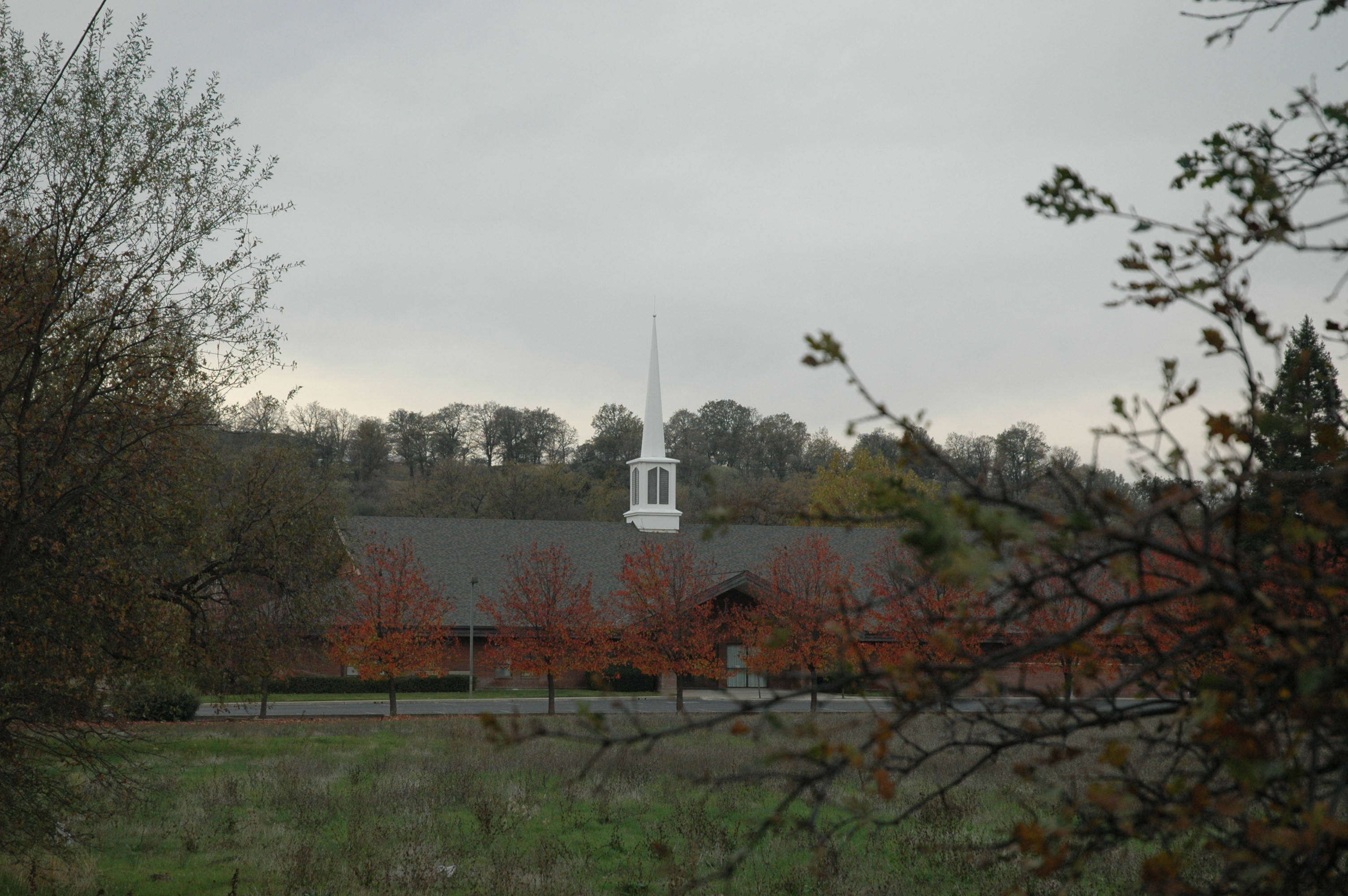
Local Church with Mount Lassen in the Background (November 2007)
-
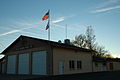
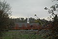
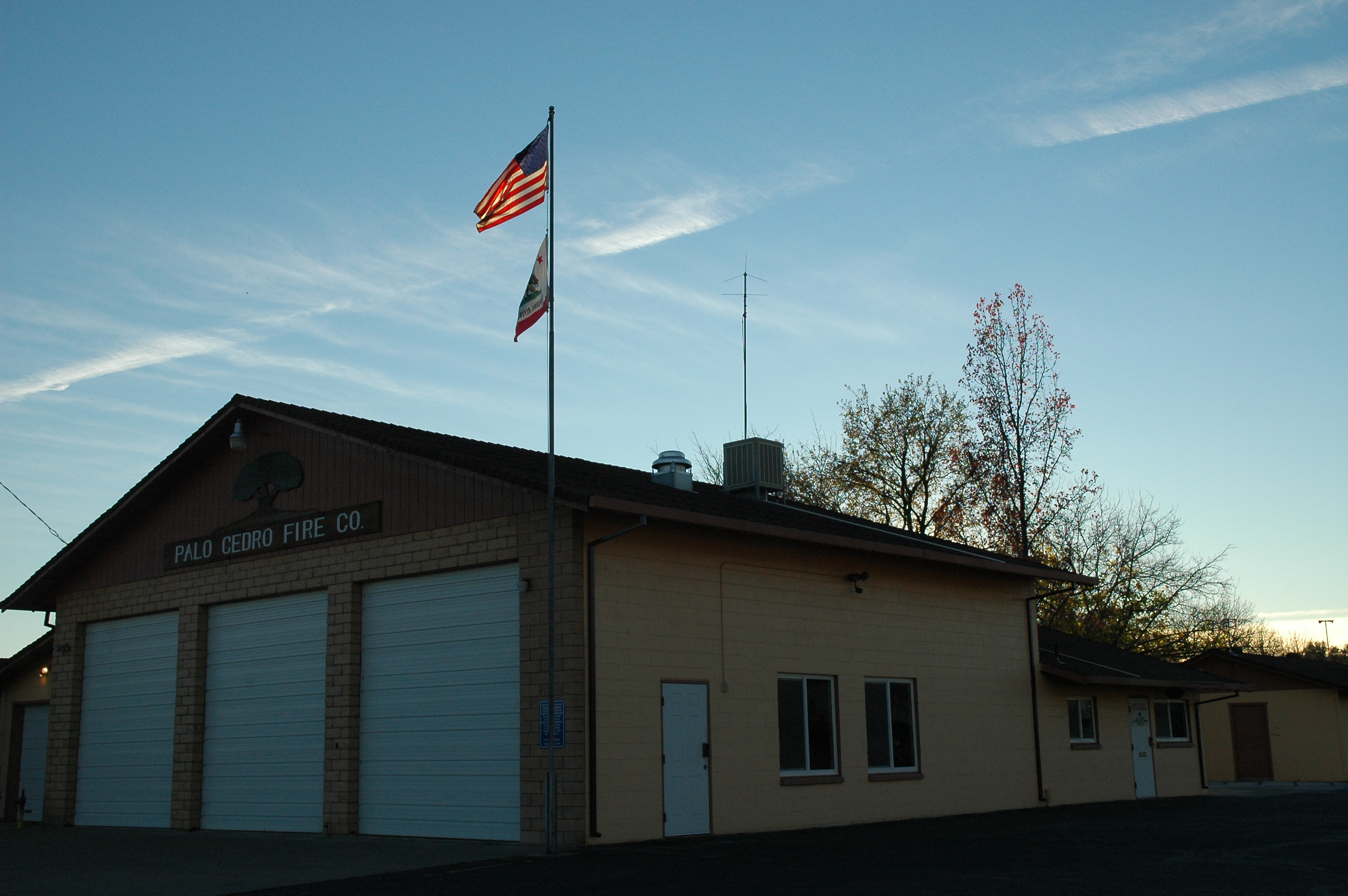
Palo Cedro Fire Department (November 2007)
-
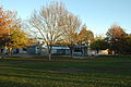
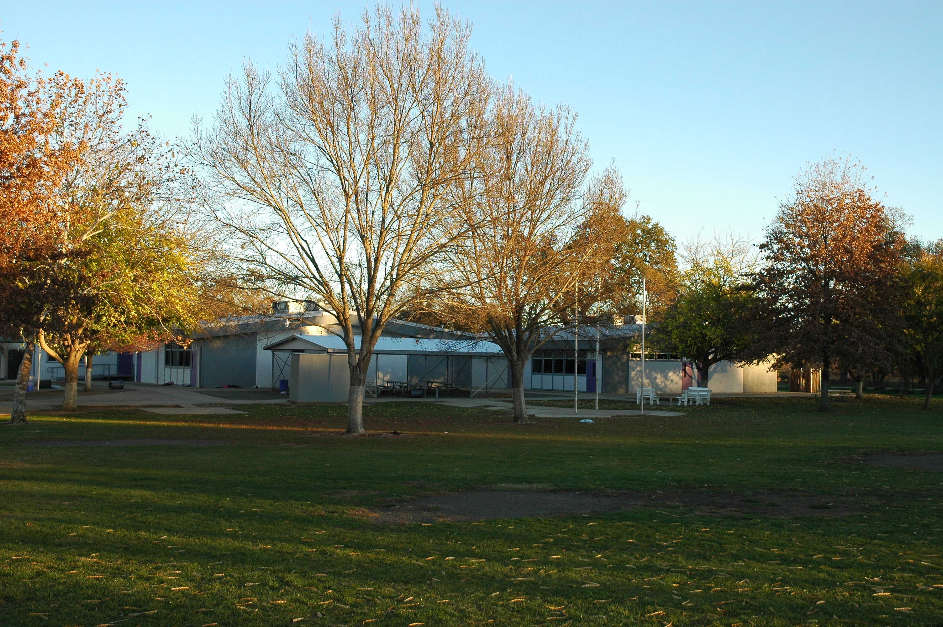
Junction Middle School (Thanksgiving Holiday 2007)
-
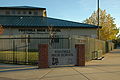
Foothill High School (November 2007)
-

Deschutes Road Looking North, From Junction Elementary School (September 2007)
-
Palo Cedro' Church of Jesus Christ of Latter-day Saints (November 2007)
-
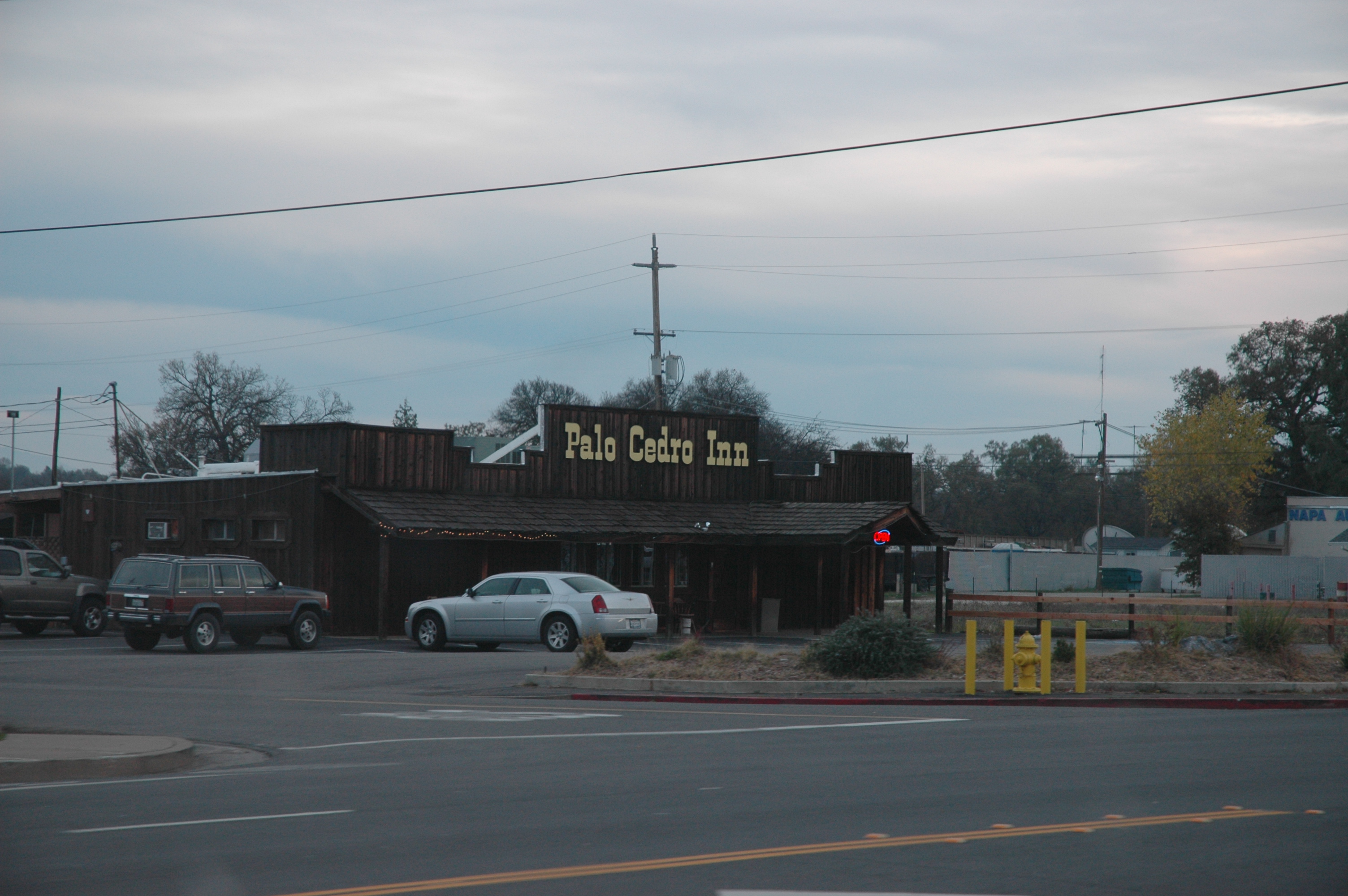
The Palo Cedro Inn -- A Palo Cedro Landmark (November 2007)
References
- ^ U.S. Census
- ^ "US Gazetteer files: 2010, 2000, and 1990". United States Census Bureau. 2011-02-12. http://www.census.gov/geo/www/gazetteer/gazette.html. Retrieved 2011-04-23.
- ^ All data are derived from the United States Census Bureau reports from the 2010 United States Census, and are accessible on-line here. The data on unmarried partnerships and same-sex married couples are from the Census report DEC_10_SF1_PCT15. All other housing and population data are from Census report DEC_10_DP_DPDP1. Both reports are viewable online or downloadable in a zip file containing a comma-delimited data file. The area data, from which densities are calculated, are available on-line here. Percentage totals may not add to 100% due to rounding. The Census Bureau defines families as a household containing one or more people related to the householder by birth, opposite-sex marriage, or adoption. People living in group quarters are tabulated by the Census Bureau as neither owners nor renters. For further details, see the text files accompanying the data files containing the Census reports mentioned above.
- ^ "American FactFinder". United States Census Bureau. http://factfinder.census.gov. Retrieved 2008-01-31.
- ^ "Will Gerrymandered Districts Stem the Wave of Voter Unrest?". Campaign Legal Center Blog. http://www.clcblog.org/blog_item-85.html. Retrieved 2007-10-20.
External links
- Palo Cedro Community Park Project
- Palo Cedro Chamber of Commerce
- Foothill High School
- Junction Elementary School District
- Palo Cedro Golf Course
- Palo Cedro News
- Palo Cedro Real Estate and area information
- [1]
Municipalities and communities of Shasta County, California Cities 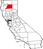
CDPs Bella Vista | Big Bend | Burney | Cassel | Cottonwood | Fall River Mills | French Gulch | Hat Creek | Keswick | Lakehead | McArthur | Millville | Montgomery Creek | Mountain Gate | Old Station | Palo Cedro | Round Mountain | Shasta | Shingletown
Unincorporated
communitiesCastella | Centerville | Cloverdale | Enterprise | Gas Point | Happy Valley | Igo | Ingot | Lakehead-Lakeshore | Matheson | Minnesota | Oak Run | O'Brien | Olinda | Ono | Platina | Pollard Flat | Viola | Whitmore
Indian reservations Ghost town Categories:- Census-designated places in Shasta County, California
- Elementary Schools:


Wikimedia Foundation. 2010.