- Big Pine, California
Infobox Settlement
official_name = Big Pine, California
image_
settlement_type = CDP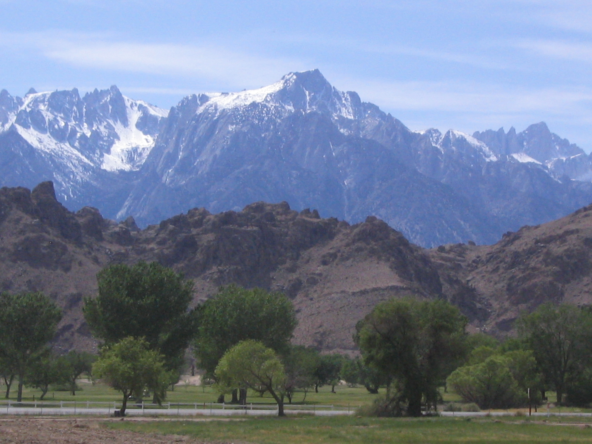
imagesize =
image_caption = View of the Sierra Nevada from Big Pine
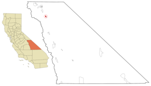
mapsize = 250x200px
map_caption = Location in Inyo County and the state ofCalifornia
mapsize1 =
map_caption1 =
subdivision_type = Country
subdivision_type1 = State
subdivision_type2 = County
subdivision_name =United States
subdivision_name1 =California
subdivision_name2 = Inyo
government_type =
leader_title =
leader_name =
established_date =
area_magnitude =
area_total_km2 = 6.3
area_total_sq_mi = 2.4
area_land_km2 = 6.3
area_land_sq_mi = 2.4
area_water_km2 = 0
area_water_sq_mi = 0
elevation_ft = 3990
elevation_m = 1216
population_as_of = 2000
population_footnotes =
population_total = 1350
population_metro =
population_density_km2 = 214.3
population_density_sq_mi = 562.5
timezone = Pacific (PST)
utc_offset = -8
latd = 37 |latm = 9 |lats = 55 |latNS = N
longd = 118 |longm = 17 |longs = 47 |longEW = W
timezone_DST = PDT
utc_offset_DST = -7
postal_code_type =ZIP code
postal_code = 93513
area_code = 760
blank_name = FIPS code
blank_info = 06-06616
blank1_name = GNIS feature ID
blank1_info = 0277473
footnotes =
website =Big Pine is a
census-designated place (CDP) in Inyo County,California ,United States . The population was 1,350 at the 2000 census.Geography
It is on U.S. Route 395, the main north-south artery through the Owens Valley, connecting the Inland Empire to
Reno, Nevada . US 395 also connects Big Pine to Los Angeles via State Route 14 through Palmdale.According to the
United States Census Bureau , the CDP has a total area of 2.4square mile s (6.3km² ), all of it land.Big Pine has a significant geographic feature (an earthquake scarp) related to the
Lone Pine Earthquake of 1872.Demographics
As of the
census GR|2 of 2000, there were 1,350 people, 571 households, and 403 families residing in the CDP. Thepopulation density was 556.4 people per square mile (214.5/km²). There were 668 housing units at an average density of 275.3/sq mi (106.1/km²). The racial makeup of the CDP was 86.07% White, 0.15% Black or African American, 4.30% Native American, 0.59% Asian, 3.19% from other races, and 5.70% from two or more races. 8.00% of the population were Hispanic or Latino of any race.There were 571 households out of which 24.2% had children under the age of 18 living with them, 59.5% were married couples living together, 5.6% had a female householder with no husband present, and 29.4% were non-families. 24.7% of all households were made up of individuals and 11.9% had someone living alone who was 65 years of age or older. The average household size was 2.29 and the average family size was 2.70.
In the CDP the population was spread out with 20.4% under the age of 18, 3.9% from 18 to 24, 23.0% from 25 to 44, 26.3% from 45 to 64, and 26.4% who were 65 years of age or older. The median age was 47 years. For every 100 females there were 98.8 males. For every 100 females age 18 and over, there were 93.3 males.
The median income for a household in the CDP was $37,115, and the median income for a family was $46,094. Males had a median income of $41,827 versus $26,500 for females. The
per capita income for the CDP was $20,109. About 7.1% of families and 10.1% of the population were below thepoverty line , including 7.5% of those under age 18 and 9.0% of those age 65 or over.Big Pine students are served by Big Pine Unified School District which features an elementary school, middle school, high school and a continuation high school. The Big Pine high school mascot is the Warrior.
Politics
In the state legislature Big Pine is located in the 18th Senate District, represented by Republican
Roy Ashburn , and in the 18th Assembly District, represented by RepublicanBill Maze . Federally, Big Pine is located inCalifornia's 25th congressional district , which has a Cook PVI of R +7 [cite web | title = Will Gerrymandered Districts Stem the Wave of Voter Unrest? | publisher = Campaign Legal Center Blog | url=http://www.clcblog.org/blog_item-85.html | accessdate = 2007-10-20] and is represented by Republican Buck McKeon.Telephone Service
Wired telephone numbers working out of the Verizon California (formerly GTE California and prior to that Contel) Big Pine
central office follow the format (760) 938-xxxx. As of 2002, numbers are in the 938-2000 to 938-3999 range except for coin telephones, which follow the pattern 938-99xx. As of June, 2005, numbers in the 938-5XXX block are assigned by Level 3 Communications. As of February 2006, numbers in the 938-7XXX block are assigned by Broadwing Communications.References
External links
Wikimedia Foundation. 2010.