- Colo Vale, New South Wales
-
Colo Vale
New South Wales
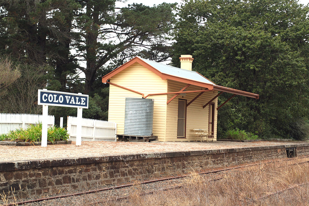
Colo Vale Railway Station located on the Old Picton Loop Line
 Colo Vale
Population: 1,212[1] Established: 1837 Postcode: 2575 Location: 125 km (78 mi) South-West of Sydney CBD LGA: Wingecarribee Shire Region: Southern Highlands Parish: Colo State District: Goulburn Federal Division: Hume Localities around Colo Vale: Hill Top Yerrinbool Nattai National Park Colo Vale Alpine Braemar Colo Vale is a Northern Village of the Southern Highlands of New South Wales, Australia, in Wingecarribee Shire. It is situated 2 km north-west of Aylmerton, 5 km from the Hume Highway and 12 km drive to Mittagong.
According to the 2006 census, Colo Vale had a population of 1,212 people.[1]
The surrounding area is part of the Parish of Colo which includes the villages of Aylmerton, Willow Vale, Alpine and Yerrinbool.
Contents
Facilities
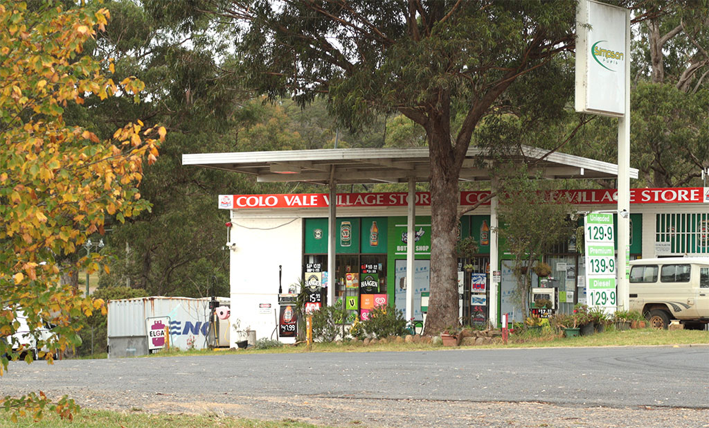
Colo Vale has a mixed-business general store and many home based businesses are situated within the town, including hairdressers, small manufacturing businesses, and a large native plant nursery (Wariapendi Nursery).
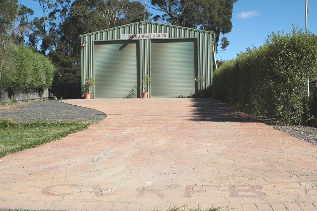
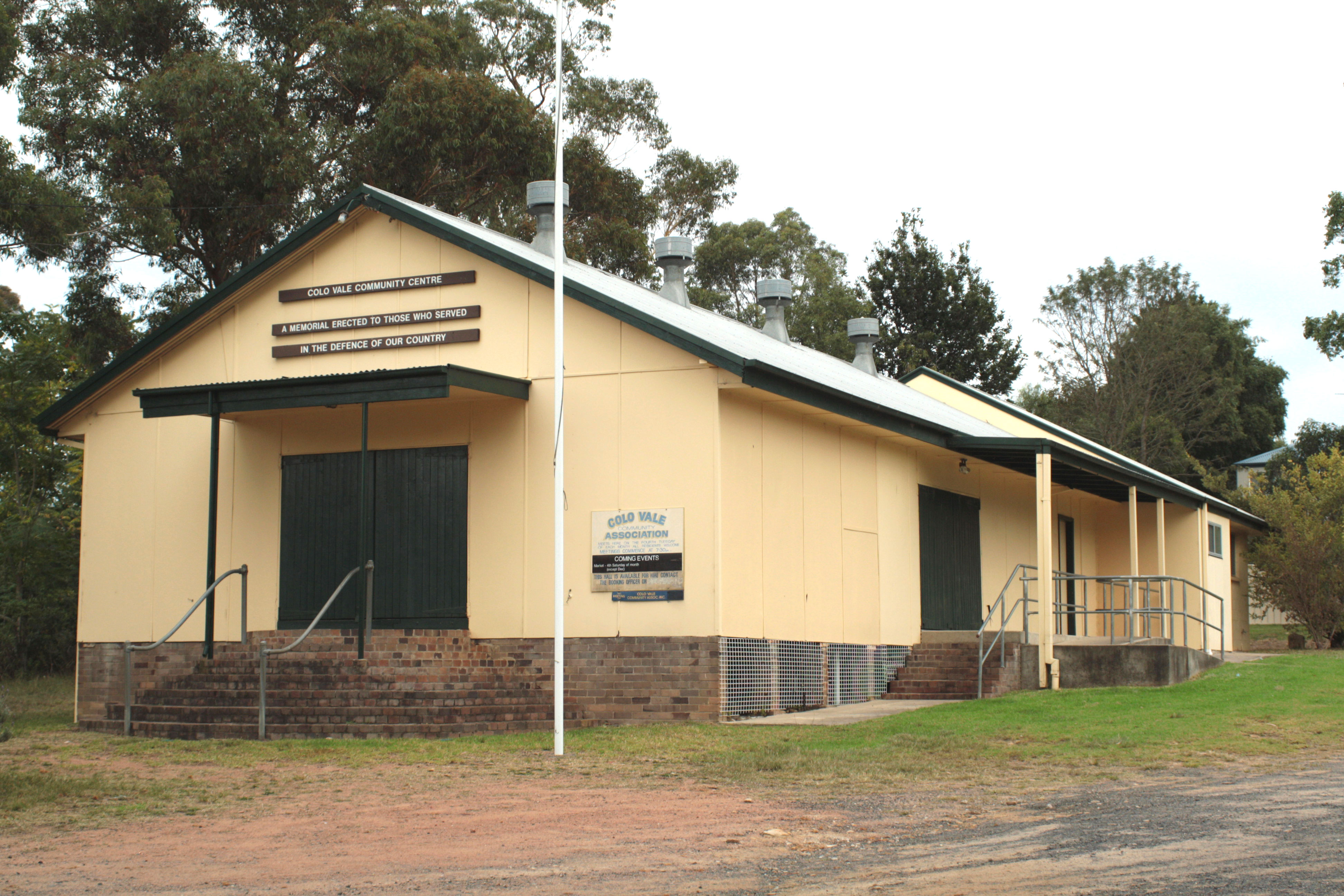
Colo Vale also has a Public School on Wattle Street. A large sporting oval is located adjacent to the school. It includes community facilities include sporting fields, tennis courts, a community hall and a Rural Fire Service station.
History
The village was formerly a station on the Main Southern Railway, until that line was deviated in 1919 to a less steep alignment with easier grades and the original line became the Picton Loop line. Colo Vale railway station, though disused, has been restored and is in good condition.[citation needed]
The word Colo is believed to be an Aboriginal word for "a hill formed by volcanic rock", thus in 1837 when John Kiernan purchased some land where modern Colo Vale is, he called it Colo. In addition, this name became the official Parish name for the area.[citation needed]
During the early 1860s, increased settlement occurred due to the rich soil which derived from decomposing volcanic rock.
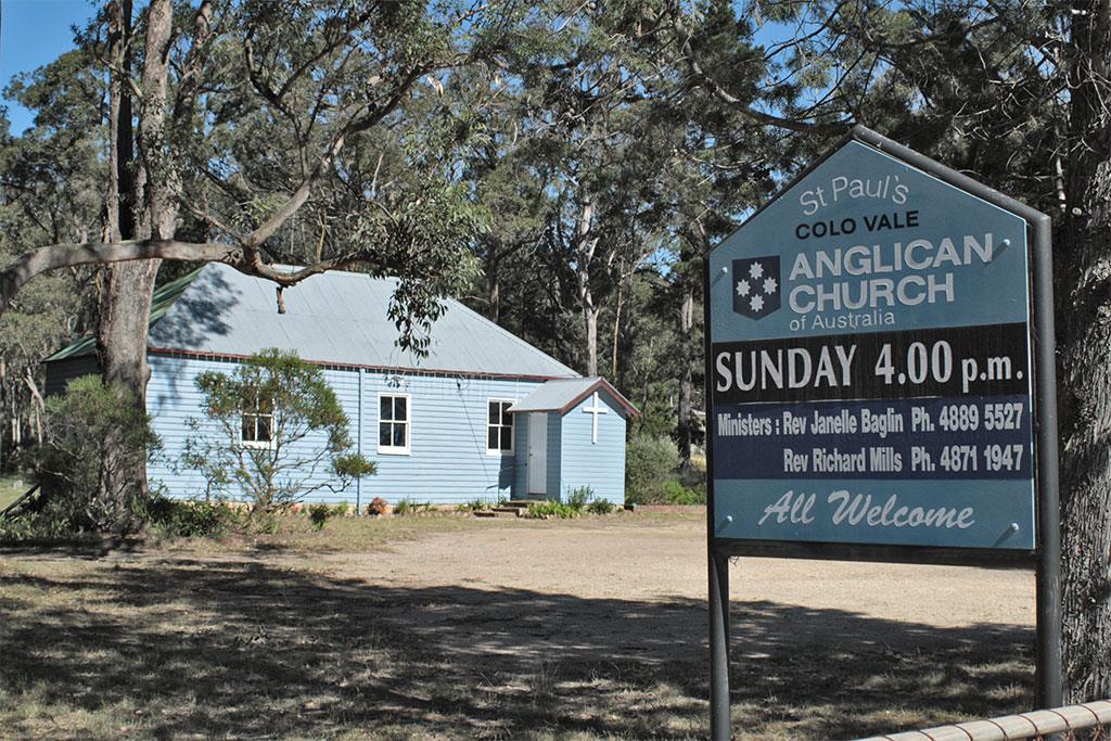
- St. Pauls Anglican Church which still stands today was built in 1884. Services continue to run as part of Mittagong Anglican Church.
The first school was built in 1911. In 1923, Colo Vale was settled by English migrant poultry farmers. In 1954, Colo Vale had a of population 121 with 37 dwellings.[citation needed]
Coordinates: 34°24′S 150°29′E / 34.4°S 150.483°E
References
- ^ a b Australian Bureau of Statistics (25 October 2007). "Colo Vale (Urban Centre/Locality)". 2006 Census QuickStats. http://www.censusdata.abs.gov.au/ABSNavigation/prenav/LocationSearch?collection=Census&period=2006&areacode=UCL120400&producttype=QuickStats&breadcrumb=PL&action=401. Retrieved 12 July 2009.
External links
Bibliography
- Bayley, W. A. 1973. Picton-Mittagong Loop-Line Railway. Bulli: Austrail. ISBN 0-909597-14-6
- Bayley, W. A. 1975. Picton-Mittagong Main Line Railway. Bulli: Austrail. ISBN 0-909597-15-4
Photo gallery
- Images of Colo Vale
-
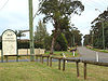
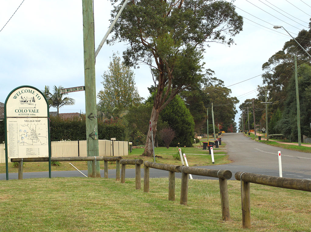
Town Entry Sign, Wattle Street -

Village Store, Railway Street -
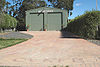
Rural Fire Service Shed, Banksia Street -
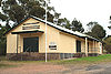
War Memorial Hall, Railway Street -
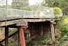
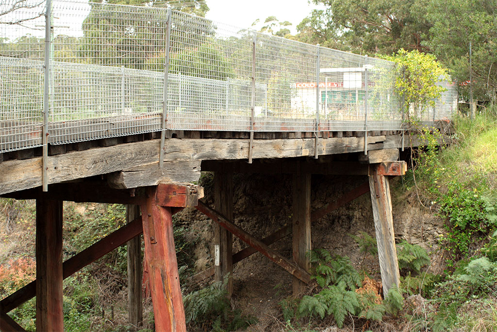
Road overbridge, closed -
St Paul's Anglican Church, Church Ave
The Southern Highlands · Wingecarribee Shire · New South Wales Main towns Villages,
small towns
& localitiesAlpine · Avoca · Aylmerton · Balaclava · Balmoral · Bangadilly · Belanglo · Berrima · Bong Bong · Braemar · Bullio · Burradoo · Burrawang · Calwalla · Canyonleigh · Colo Vale · East Bowral · Exeter · Fitzroy Falls · Glenquarry · Hanging Rock · High Range · Hill Top · Hoddles Cross Roads · Joadja · Kangaloon · Lower Mittagong · Manchester Square · Mandemar · Medway · Meryla · Myra Vale · New Berrima · Paddys River · Penrose · Sutton Forest · Wattle Ridge · Welby · Werai · Wildes Meadow · Willow Vale · Wingello · Woodlands · Yarrunga · Yerrinbool
National parks
& reservesMorton · Budawang · Macquarie Pass · Belanglo · Nattai · Upper Nepean Scheme · Penrose · Budderoo · Cecil Hoskins · Jellore · Bangadilly · Wingello · Joadja · Wombeyan Caves
Categories:- Towns in New South Wales
- Towns of the Southern Highlands (New South Wales)

Wikimedia Foundation. 2010.