- Marmora, Ontario
-
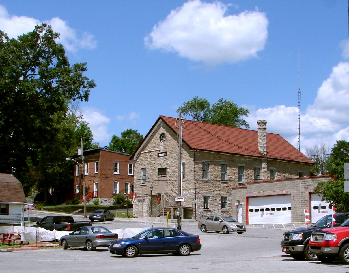
 Township Hall in Marmora
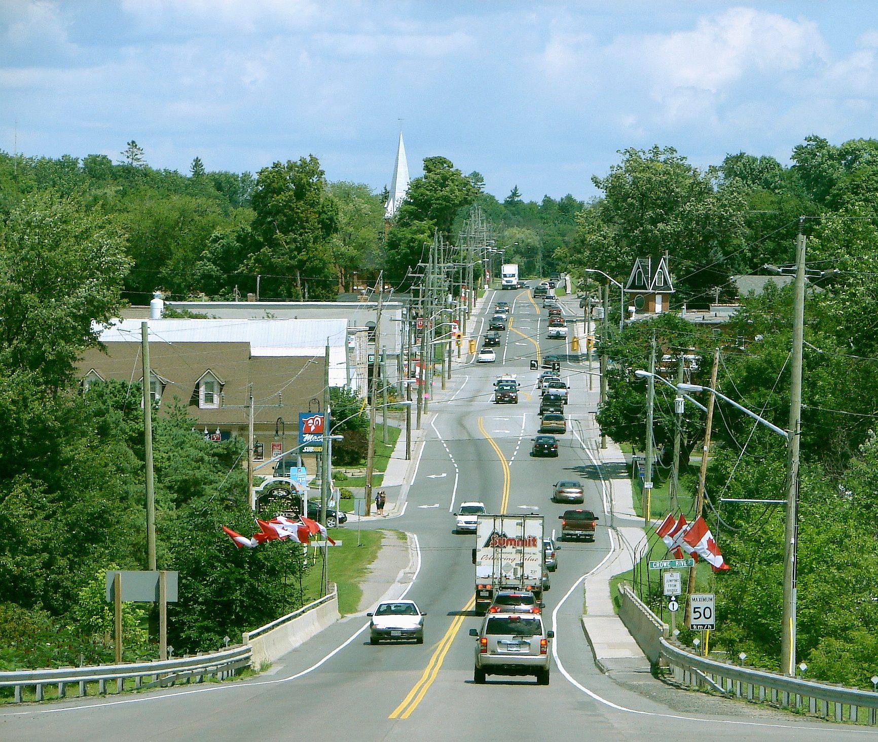
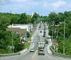 Highway 7 through Marmora
Marmora is the largest community in the Municipality of Marmora and Lake in Hastings County, Ontario, Canada. It is located on the Crowe River and along Highway 7 between Havelock to the west and Madoc to the east, about the half way point between Ottawa and Toronto.
History
The village was named after Marmora Township, which is itself named for the Latin word for marble. Marble is common in the area and a giant marble rock stood on nearby Crowe Lake.
The rich history of Marmora Township is the story of mining in Eastern Ontario. Since 1820 this Township has played a leading role in the development of iron mining. In addition, copper, lead, silver, gold and lithographic limestone have been extracted.
Iron mining was an important industry in the area during the 19th century. The village was originally named Marmora Iron Works. Gold and silver were also mined at nearby Cordova Mines, now a ghost town. A nearby plant processes talc and dolomite.
Marmora was separated from Marmora and Lake Township and incorporated as a village in 1901.
On April 14, 1821, the government passed an act setting up Marmora Township and attaching it to Hastings County as per Charles Hayes's request to do so in 1820. The new Township took its name from the Latin word for 'marble' because of an ‘immense rock of most delicate white marble’. This giant rock stood on the southeast corner of Crowe Lake. The Lake took its name from the Crowe Indians that lived along the shore.
Marmora Township was opened for sale in 1821, but there was little settlement outside of the newly created mining village. Although mining and lumbering have been vital to the Township, agriculture has probably supported more people in the area since 1850. A remaining legacy of iron mining is the Marmora Open Pit Mine, a man-made wonder-lake, seventy five acres in area, six hundred and thirty five feet deep, filled with four hundred feet deep of clear blue spring water that is steadily rising to the top.
Marmora was re-amalgamated with the surrounding townships of Marmora and Lake in 2001 to form a newly expanded Municipality of Marmora and Lake.
Local attractions and events
Attractions include the Marmora Mine, an abandoned open-pit iron ore mine containing a wealth of minerals, including garnet and pyrite. This location is also a host to a variety of wildlife. The mine itself is filled with several hundred feet of water. The water originates from an underground spring which was exposed during mining operations.
Camping and other outdoor recreational activities such as ATV trail riding, fishing, and hunting are very popular for locals and those on vacation. The Crowe River flows into Crowe Lake, which boasts excellent fishing for bass, muskie, pike, walleye, and a few other types of fish.
Since 1979 Marmora has held the Marmora Cup annual dog-sled races. However, the 2006 and 2007 races were cancelled because of inclement weather.
There are two annual country jamborees held in Marmora each year.
The "Marmora Crowe Valley Lions Club Country Jamboree" at the Marmora Fair Grounds in June, and the "Marmora Country Jamboree" In September on highway 14 just south of Marmora.
Formerly annual festivities of Punk Fest led by Warren Hastings, a.k.a Spider, were held here for several years before the township put them to an end, because they would not allow medics on site or supply washrooms\fresh water to the party-goers. "Punks" and bands from all over the world traveled to Marmora for the weekend's events.
Former home of The Marmora Lakers Mens Senior AAA Hockey Team. It was recently sold in early 2008.
Home of The Classic Cruisers (Car Show), running every Thursday at 6pm throughout the summer.
Home of Beautiful Glen Allan Park, a cottage and trailer resort since the early 1900's on the north shore of Crowe lake.
External links
- Municipality of Marmora & Lake
- Information about Marmora, a community-based volunteer site
- Marmora SnoFest, Marmora Cup Dog-sled races.
- The Bassman, local fishing celebrity
- Marmora Crowe Valley Lions Club Country Jamboree,
- Marmora Country Jamboree
- Crowe Valley Conservation Authority
- Google Maps Satellite Image
North: Wollaston West: Havelock-Belmont-Methuen Marmora East: Tudor and Cashel, Madoc South: Stirling-Rawdon Coordinates: 44°29′00″N 77°41′00″W / 44.4833333°N 77.6833333°W
Categories:- Communities in Hastings County, Ontario
- Former municipalities in Ontario
Wikimedia Foundation. 2010.